
Pampahuerta
Pampahuerta is a locality in Ayacucho, Peru, 3,335 m above sea level. The climate is classified as subtropical highland (Köppen Cwb), with a dry winter and a wetter summer.
Best: Jul–Sep. Warmth, sunshine and dry days, month by month.
Pampahuerta at a glance
The months with the highest weather score
Average high in November
Average low in July
158 mm of rain
5 mm of rain
within 22 km
Weather in Pampahuerta
Now and the next ten days. The 14 and 30-day outlooks are one click away.
Partly cloudy · wind 2 km/h · humidity 91%
When to go to Pampahuerta
Each month's weather score (warmth, sun, dry days) with its temperatures and rain.
| Jan | Feb | Mar | Apr | May | Jun | Jul | Aug | Sep | Oct | Nov | Dec | |
|---|---|---|---|---|---|---|---|---|---|---|---|---|
| Score | 35 | 35 | 34 | 51 | 66 | 67 | 73 | 75 | 70 | 55 | 52 | 38 |
| High | 14° | 14° | 14° | 14° | 14° | 13° | 13° | 14° | 14° | 15° | 15° | 15° |
| Low | 7° | 7° | 7° | 6° | 5° | 3° | 3° | 3° | 5° | 6° | 7° | 7° |
| Rain (mm) | 147 | 158 | 138 | 42 | 20 | 5 | 12 | 19 | 31 | 70 | 81 | 133 |
| Wet days | 19 | 22 | 21 | 9 | 4 | 3 | 1 | 1 | 4 | 10 | 9 | 17 |
What's on in Pampahuerta
Concerts, football matches, the public holidays ahead and the town's festivals through the year.
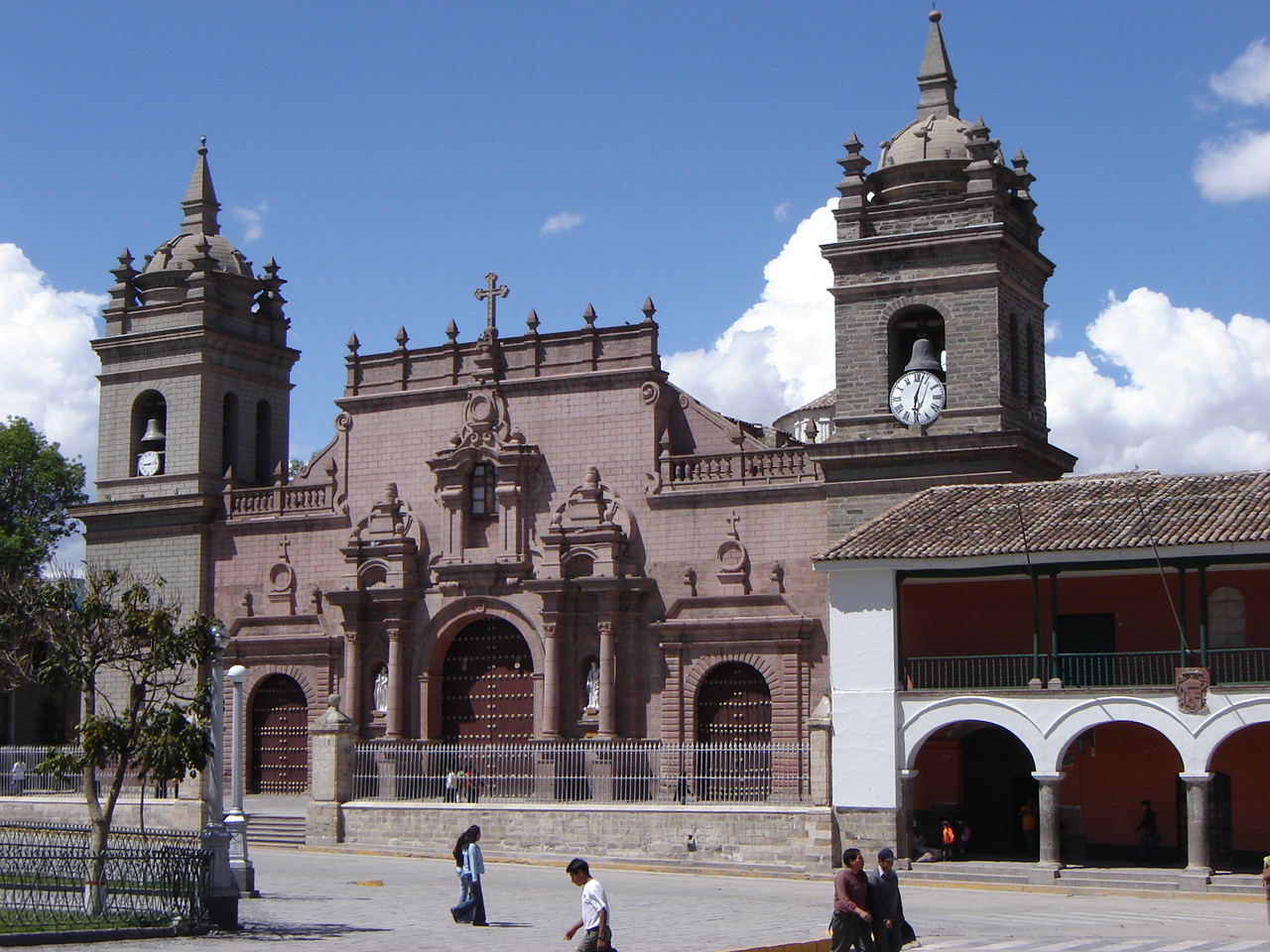
Monuments and museums in Pampahuerta




Nature around Pampahuerta

Wildlife in October
The birds and mammals of Peru seen most this month, compared with the rest of their year.


The sky over Pampahuerta
Earthquakes around Pampahuerta
The last 30 days within 300 km, and the record since 1950.
Strongest nearby since 1950
Towns and villages around Pampahuerta
Each with its own page: weather, climate and the best time to visit.