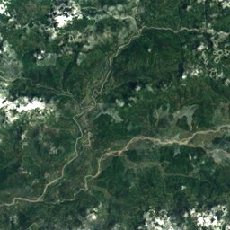
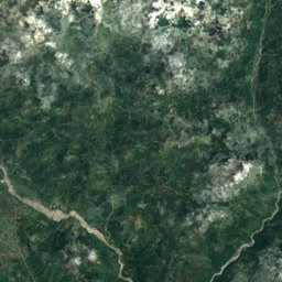
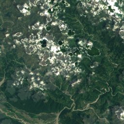
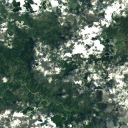
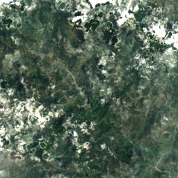
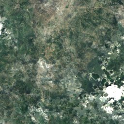
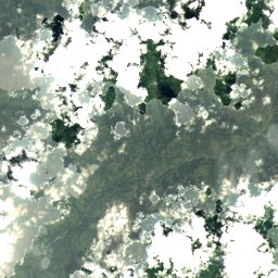
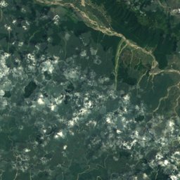
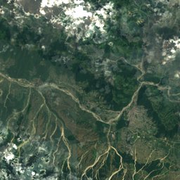
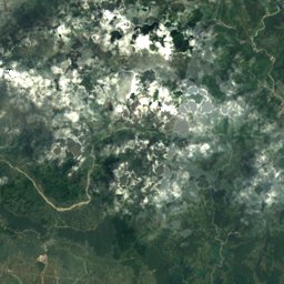
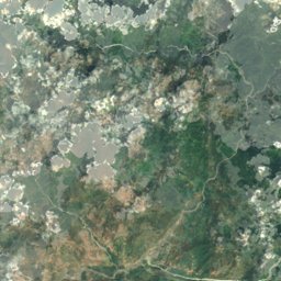
Satellite: Sentinel-2 cloudless 2016 by EOX IT Services GmbH · CC BY 4.0 · Contains modified Copernicus Sentinel data 2016
Outdoor activitiesNagarkot
Outdoors near Nagarkot
within 15 km52places
Viewpoints41
Mountain huts4
27.72° N, 85.52° EElevation 1,905 mUTC+5:45 · Nepal Time
When to goNagarkot · weather score
Best timeMar–Apr · Nov
October: high / low19° / 10°
Viewpoints
| Name | Nearby | Details |
|---|---|---|
| Nagarkot Trigonometry Tower | 2.6 km | |
| Gosainsthan View Point | 9.2 km | |
| Panorama of Banepa Valley & Himalaya Mountains | 10.9 km | |
| End of Nagarkot Panoramic hiking trail | 0.9 km | |
| 180° Viewing Point of Himalayas | 1.1 km | |
| Panoramic view | 1.6 km | |
| Nature trail (finishing point) | 1.7 km | |
| Changunarayan Organic Krishi Tatha Pashupanchhi Farm | 4.5 km | |
| chhyabasti | 5.2 km | |
| salinadi hydropower | 5.3 km | |
| Dudamukh park | 5.8 km | |
| bhaudhoka | 6 km |
Viewpoints in Bagmati Province
Mountain huts
| Name | Nearby | Details |
|---|---|---|
| Anand yoga homestaffed | 1.7 km | |
| Jitendra's Homeunstaffed shelter | 4.5 km | |
| tea gardenunstaffed shelter | 10.3 km | |
| maligaun hillsstaffed | 11.2 km |
Mountain huts in Bagmati Province
Theme parks
| Name | Nearby | Details |
|---|---|---|
| Buddha park | 10.6 km | |
| bagmani masala research | 12.4 km | |
| EFLG Park | 13.8 km | |
| Sahid Park | 14.8 km |
Theme parks in Bagmati Province
Camp sites
| Name | Nearby | Details |
|---|---|---|
| sukul restaurant | 9.6 km | |
| New Everest Party Palace | 13.3 km | |
| New camping point | 14.9 km |
Camp sites in Bagmati Province
Places come from an open map made by volunteers: well-known sites are there, small or new ones may be missing. Opening times and prices change, so check before you go.