
Photo: Ingfbruno · CC BY-SA 3.0 · Wikimedia Commons
Tidal BasinReport this photo · linked, not stored
Tidal BasinReport this photo · linked, not stored

Photo: WorldIslandInfo.com · CC BY 2.0 · Wikimedia Commons
Little Island, District of ColumbiaReport this photo · linked, not stored
Little Island, District of ColumbiaLittle Island, District of ColumbiaReport this photo · linked, not stored

Photo: Katja Schulz from Washington, D. C., USA · CC BY 2.0 · Wikimedia Commons
Rock Creek, District of ColumbiaReport this photo · linked, not stored
Rock Creek, District of ColumbiaRock Creek, District of ColumbiaReport this photo · linked, not stored

Photo: Unknown author · Public domain · Wikimedia Commons
Theodore Roosevelt IslandReport this photo · linked, not stored
Theodore Roosevelt IslandTheodore Roosevelt IslandReport this photo · linked, not stored

Photo: Jennifer Boyer from Maryland, USA · CC BY 2.0 · Wikimedia Commons
Anacostia RiverReport this photo · linked, not stored
Anacostia RiverAnacostia RiverReport this photo · linked, not stored
LakeWashington, District of Columbia
Tidal Basin
LakeBest Apr · Sep–Oct
Elevation–above sea level
Area0.4 km²surface
Nearest townWashington0.8 mi
38.88° N, 77.04° WElevation 0 ftUTC−4 · Eastern Daylight Time
When to goWashington · weather score
Best timeApr · Sep–Oct
October: high / low69° / 48°
Lake
Tidal Basin in brief
Tidal Basin is a lake in Washington, District of Columbia, United States.
It covers about 0.4 km².
The nearest town in the atlas is Washington, 0.8 mi to the N, where the weather is best in April, September and October.
Weather nearby now
Forecast for Washington58°
Sunny now
Today
22 Oct
67°
44°
Fri
23 Oct
61°
45°
Sat
24 Oct
62°
40°
Sun
25 Oct
65°
42°
Mon
26 Oct
69°
43°
Model run 00:00 UTCRefreshed several times a day
Map
Tidal Basin from above
Nature nearbyAll of the United States
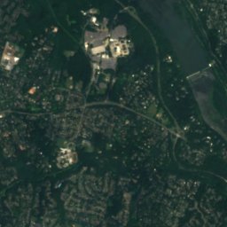
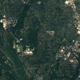
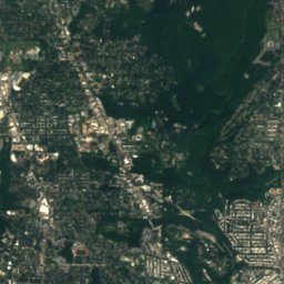
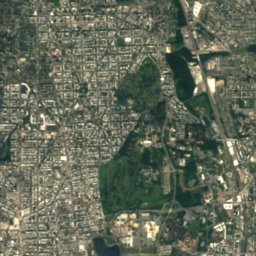
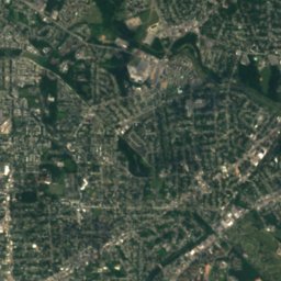
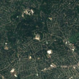
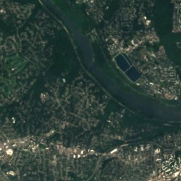
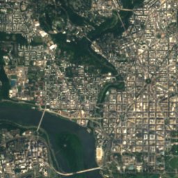
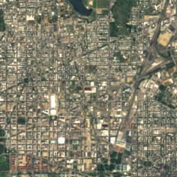
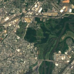
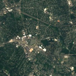
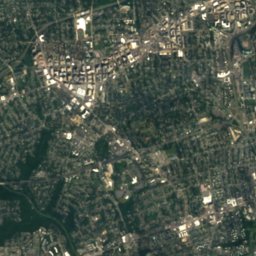
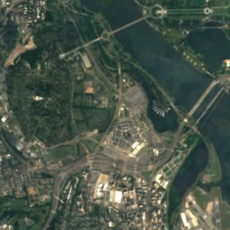
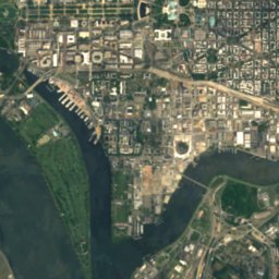
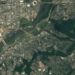
Satellite: Sentinel-2 cloudless 2016 by EOX IT Services GmbH · CC BY 4.0 · Contains modified Copernicus Sentinel data 2016


Photo: Katja Schulz from Washington, D. C., USA · CC BY 2.0 · Wikimedia CommonsReport this photo · linked, not stored


Photo: Jennifer Boyer from Maryland, USA · CC BY 2.0 · Wikimedia CommonsReport this photo · linked, not stored
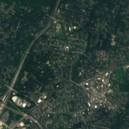
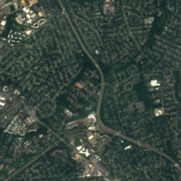
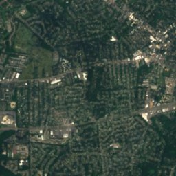
Satellite: Sentinel-2 cloudless 2016 by EOX IT Services GmbH · CC BY 4.0 · Contains modified Copernicus Sentinel data 2016
Summits nearbyMountains of the United States
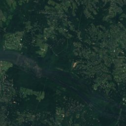
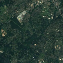
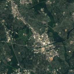
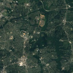
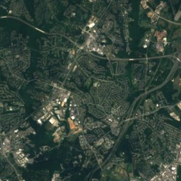
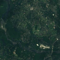
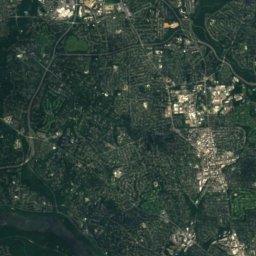
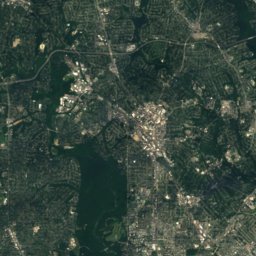
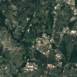
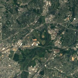
Satellite: Sentinel-2 cloudless 2016 by EOX IT Services GmbH · CC BY 4.0 · Contains modified Copernicus Sentinel data 2016
Stay nearby
Towns close by


Photo: United_States_Capitol_-_west_front.jpg: Architect of the Capitol derivative work · Public domain · Wikimedia CommonsReport this photo · linked, not stored
Downtown DC
District of Columbia · 1.2 mi NE
69°Oct high
9wet days
79score
Around here
Washington and around

Washington
District of Columbia · United States
Apr · Sep–Octbest months
89°July high
23 ftaltitude
Nature
Photo: Jennifer Boyer from Maryland, USA · CC BY 2.0 · Wikimedia CommonsReport this photo · linked, not stored
Anacostia River
River · 3 ft
Photo: Katja Schulz from Washington, D. C., USA · CC BY 2.0 · Wikimedia CommonsReport this photo · linked, not stored
Rock Creek, District of Columbia
River

Mountains
Satellite: Sentinel-2 cloudless 2016 by EOX IT Services GmbH · CC BY 4.0 · Contains modified Copernicus Sentinel data 2016
Mount Saint Alban
381 ft
Heritage

Photo: This image or media was taken or created by Matt H. Wade. To see his entire port · CC BY-SA 3.0 · Wikimedia CommonsReport this photo · linked, not stored
White House, Washington
National Historic Landmark · 1800
Photo: United_States_Capitol_-_west_front.jpg: Architect of the Capitol derivative work · Public domain · Wikimedia CommonsReport this photo · linked, not stored
United States Capitol
Historic Civil Engineering Landmark · 1793

Washington Monument
District of Columbia Inventory of Historic Sites · 1848
Museums

Photo: Highsmith, Carol M., 1946-, photographer · Public domain · Wikimedia CommonsReport this photo · linked, not stored
Smithsonian Institution
1846

Photo: AgnosticPreachersKid · CC BY-SA 3.0 · Wikimedia CommonsReport this photo · linked, not stored
National Gallery of Art
1937


