
Photo: Unknown author · Public domain · Wikimedia Commons
Theodore Roosevelt IslandReport this photo · linked, not stored
Theodore Roosevelt IslandReport this photo · linked, not stored

Photo: Katja Schulz from Washington, D. C., USA · CC BY 2.0 · Wikimedia Commons
Rock Creek, District of ColumbiaReport this photo · linked, not stored
Rock Creek, District of ColumbiaRock Creek, District of ColumbiaReport this photo · linked, not stored

Photo: WorldIslandInfo.com · CC BY 2.0 · Wikimedia Commons
Little Island, District of ColumbiaReport this photo · linked, not stored
Little Island, District of ColumbiaLittle Island, District of ColumbiaReport this photo · linked, not stored
 Spout Run

Photo: Ingfbruno · CC BY-SA 3.0 · Wikimedia Commons
Tidal BasinReport this photo · linked, not stored
Tidal BasinTidal BasinReport this photo · linked, not stored
IslandFoggy Bottom, District of Columbia
Theodore Roosevelt Island
IslandBest Apr · Sep–Oct
Elevation–above sea level
Area0.4 km²surface
Nearest townFoggy Bottom0.6 mi
38.90° N, 77.06° WUTC−4 · Eastern Daylight Time
When to goFoggy Bottom · weather score
Best timeApr · Sep–Oct
October: high / low69° / 48°
Island
Theodore Roosevelt Island in brief
Theodore Roosevelt Island is an island in Foggy Bottom, District of Columbia, United States — island and a national memorial located in the Potomac River in Washington, D.C..
It covers about 0.4 km².
The nearest town in the atlas is Foggy Bottom, 0.6 mi to the E, where the weather is best in April, September and October.
Weather nearby now
Forecast for Foggy Bottom58°
Sunny now
Today
22 Oct
67°
44°
Fri
23 Oct
61°
45°
Sat
24 Oct
62°
40°
Sun
25 Oct
65°
42°
Mon
26 Oct
69°
43°
Model run 00:00 UTCRefreshed several times a day
Map
Theodore Roosevelt Island from above
Nature nearbyAll of the United States

Photo: Katja Schulz from Washington, D. C., USA · CC BY 2.0 · Wikimedia CommonsReport this photo · linked, not stored

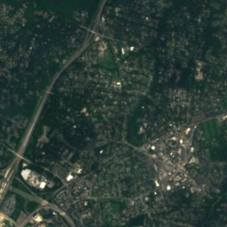
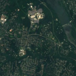
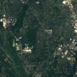
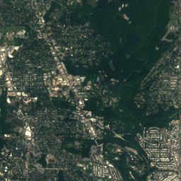
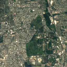
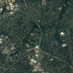
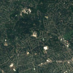
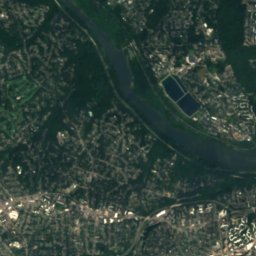
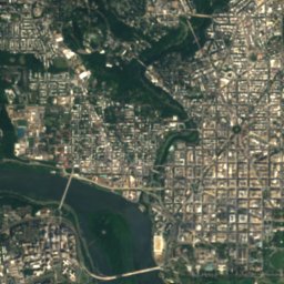
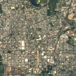
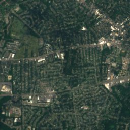
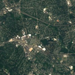
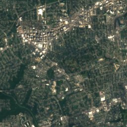
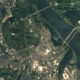
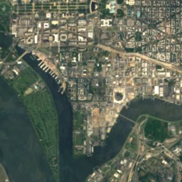
Satellite: Sentinel-2 cloudless 2016 by EOX IT Services GmbH · CC BY 4.0 · Contains modified Copernicus Sentinel data 2016
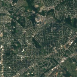
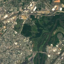
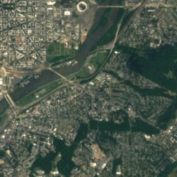
Satellite: Sentinel-2 cloudless 2016 by EOX IT Services GmbH · CC BY 4.0 · Contains modified Copernicus Sentinel data 2016


Summits nearbyMountains of the United States
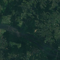
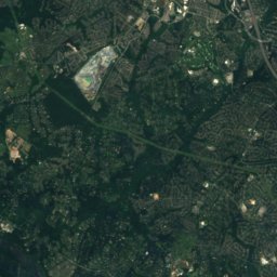
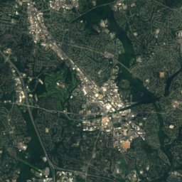
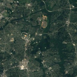
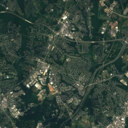
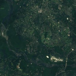
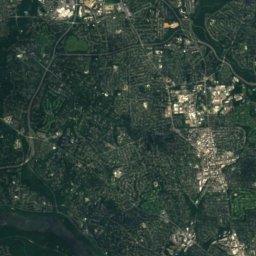
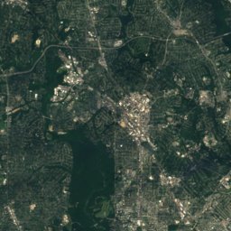
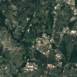
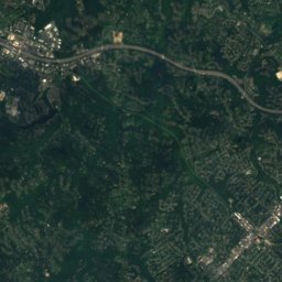
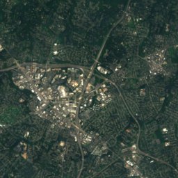
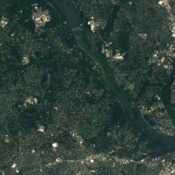
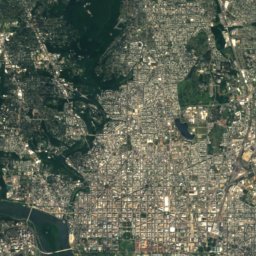
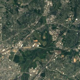
Satellite: Sentinel-2 cloudless 2016 by EOX IT Services GmbH · CC BY 4.0 · Contains modified Copernicus Sentinel data 2016
Stay nearby
Towns close by


Around here
Foggy Bottom and around

Foggy Bottom
District of Columbia · United States
Apr · Sep–Octbest months
89°July high
3 ftaltitude
Nature

Photo: Jennifer Boyer from Maryland, USA · CC BY 2.0 · Wikimedia CommonsReport this photo · linked, not stored
Anacostia River
River · 3 ft
Photo: Katja Schulz from Washington, D. C., USA · CC BY 2.0 · Wikimedia CommonsReport this photo · linked, not stored
Rock Creek, District of Columbia
River
Mountains
Satellite: Sentinel-2 cloudless 2016 by EOX IT Services GmbH · CC BY 4.0 · Contains modified Copernicus Sentinel data 2016
Mount Saint Alban
381 ft
Heritage

Photo: This image or media was taken or created by Matt H. Wade. To see his entire port · CC BY-SA 3.0 · Wikimedia CommonsReport this photo · linked, not stored
White House, Washington
National Historic Landmark · 1800

Washington Monument
District of Columbia Inventory of Historic Sites · 1848

Photo: Aerial_view_of_Lincoln_Memorial_-_east_side.jpg: Carol M. Highsmith derivative w · Public domain · Wikimedia CommonsReport this photo · linked, not stored
Lincoln Memorial
District of Columbia Inventory of Historic Sites · 1922
Museums

Photo: Highsmith, Carol M., 1946-, photographer · Public domain · Wikimedia CommonsReport this photo · linked, not stored
Smithsonian Institution
1846

Photo: AgnosticPreachersKid · CC BY-SA 3.0 · Wikimedia CommonsReport this photo · linked, not stored
National Gallery of Art
1937


