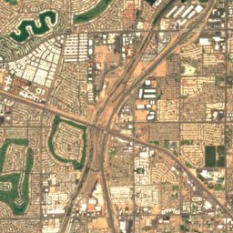
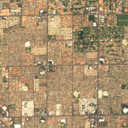
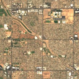
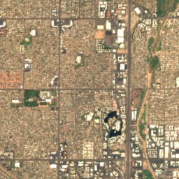
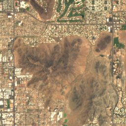
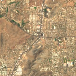
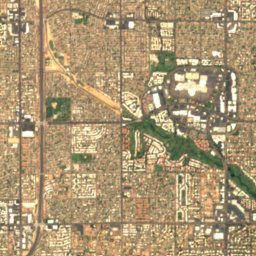
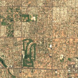
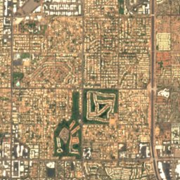
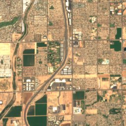
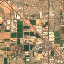
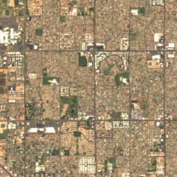
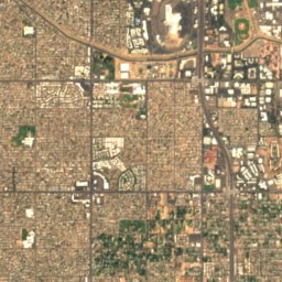
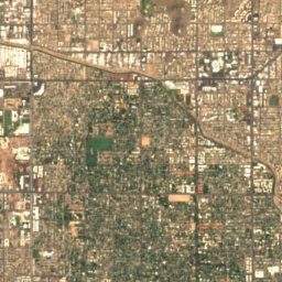
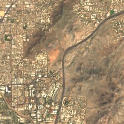
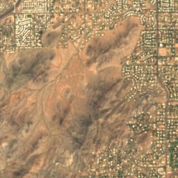
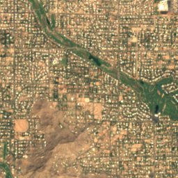
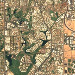
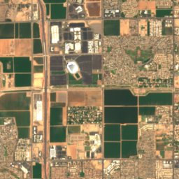
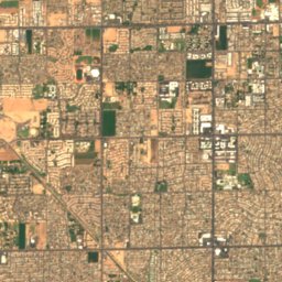
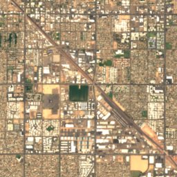
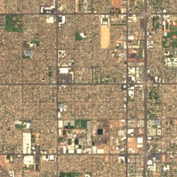
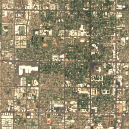
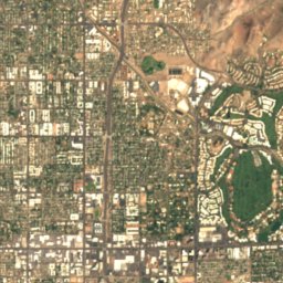
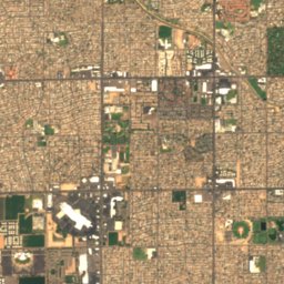
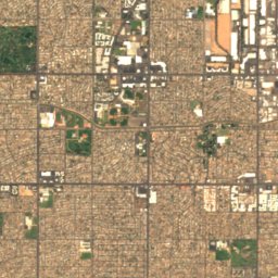
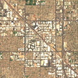
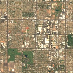
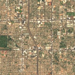
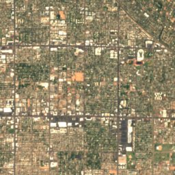
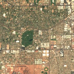
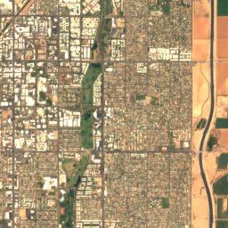
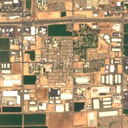
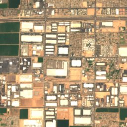
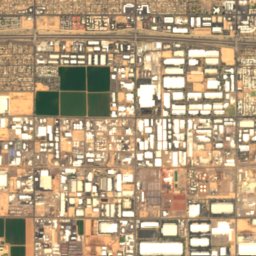
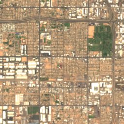
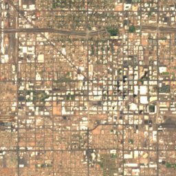
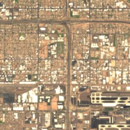
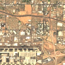
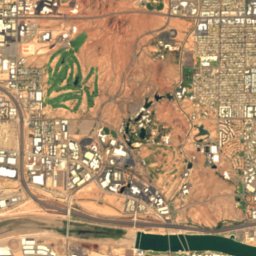
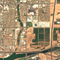
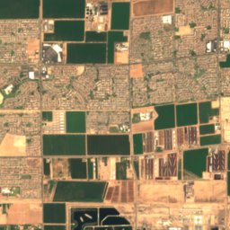
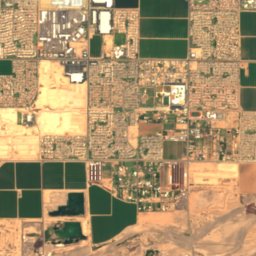
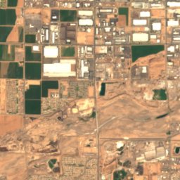
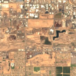
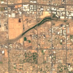
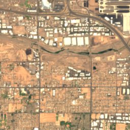
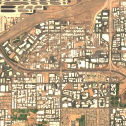
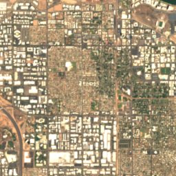
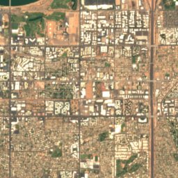
Satellite: Sentinel-2 cloudless 2016 by EOX IT Services GmbH · CC BY 4.0 · Contains modified Copernicus Sentinel data 2016

Photo: Richard N Horne · CC BY 4.0 · Wikimedia Commons
Evelyn Hallman PondReport this photo · linked, not stored
Evelyn Hallman PondEvelyn Hallman PondReport this photo · linked, not stored

Photo: Cygnusloop99 · CC BY-SA 3.0 · Wikimedia Commons
Tempe Town LakeReport this photo · linked, not stored
Tempe Town LakeTempe Town LakeReport this photo · linked, not stored

Photo: Hunter Trick (TrickHunter) · CC BY-SA 4.0 · Wikimedia Commons
Chaparral LakeReport this photo · linked, not stored
Chaparral LakeChaparral LakeReport this photo · linked, not stored

Photo: Dru Bloomfield from Scottsdale, Arizona, USA · CC BY 2.0 · Wikimedia Commons
Camelback MountainReport this photo · linked, not stored
Camelback MountainCamelback MountainReport this photo · linked, not stored
LakePhoenix, Arizona
Steele Indian School Park Pond
LakeBest Jan · Mar · Nov
Elevation–above sea level
Area–surface
Nearest townPhoenix3.5 mi
33.50° N, 112.07° WUTC−7 · Mountain Standard Time
When to goPhoenix · weather score
Best timeJan · Mar · Nov
October: high / low89° / 61°
Lake
Steele Indian School Park Pond in brief
Steele Indian School Park Pond is a lake in Phoenix, Arizona, United States.
The nearest town in the atlas is Phoenix, 3.5 mi to the S, where the weather is best in January, March and November.
Weather nearby now
Forecast for Phoenix68°
Rain now
Today
22 Oct
76°
65°
0.2 in
Fri
23 Oct
77°
61°
Sat
24 Oct
74°
60°
0.1 in
Sun
25 Oct
78°
56°
Mon
26 Oct
81°
57°
Model run 00:00 UTCRefreshed several times a day
Map
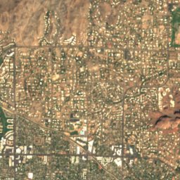
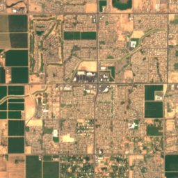
Steele Indian School Park Pond from above
Nature nearbyAll of the United States
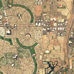
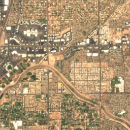
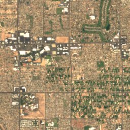
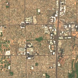
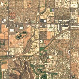
Satellite: Sentinel-2 cloudless 2016 by EOX IT Services GmbH · CC BY 4.0 · Contains modified Copernicus Sentinel data 2016
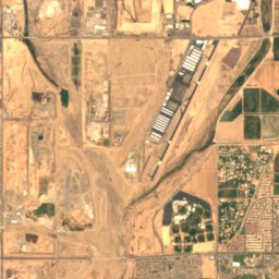
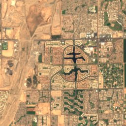
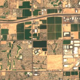
Satellite: Sentinel-2 cloudless 2016 by EOX IT Services GmbH · CC BY 4.0 · Contains modified Copernicus Sentinel data 2016


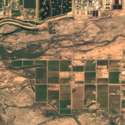
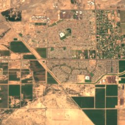
Satellite: Sentinel-2 cloudless 2016 by EOX IT Services GmbH · CC BY 4.0 · Contains modified Copernicus Sentinel data 2016

Photo: Hunter Trick (TrickHunter) · CC BY-SA 4.0 · Wikimedia CommonsReport this photo · linked, not stored
Summits nearbyMountains of the United States

Photo: Dru Bloomfield from Scottsdale, Arizona, USA · CC BY 2.0 · Wikimedia CommonsReport this photo · linked, not stored

Stay nearby
Towns close by


Photo: Marine 69-71 at English Wikipedia · CC BY-SA 3.0 · Wikimedia CommonsReport this photo · linked, not stored
Glendale
Arizona · 7.2 mi W
89°Oct high
3wet days
65score

Photo: Tony the Marine (talk) · Public domain · Wikimedia CommonsReport this photo · linked, not stored
Paradise Valley
Arizona · 7.7 mi E
88°Oct high
3wet days
66score

Around here
Phoenix and around
Nature
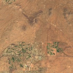
Satellite: Sentinel-2 cloudless 2016 by EOX IT Services GmbH · CC BY 4.0 · Contains modified Copernicus Sentinel data 2016
Alvord Lake, Arizona
Lake
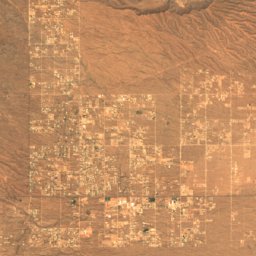
Satellite: Sentinel-2 cloudless 2016 by EOX IT Services GmbH · CC BY 4.0 · Contains modified Copernicus Sentinel data 2016
Desert West Lake
Lake
Mountains
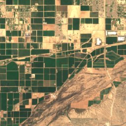
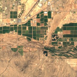
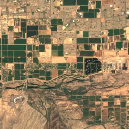
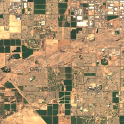
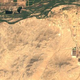
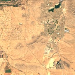
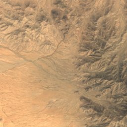
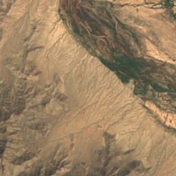
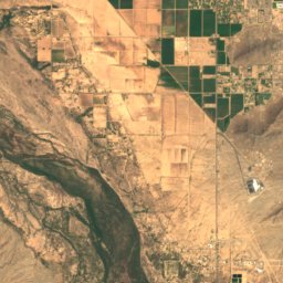
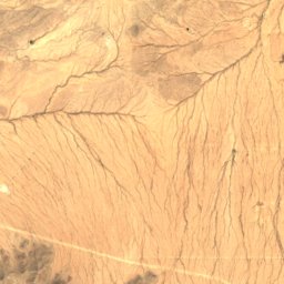
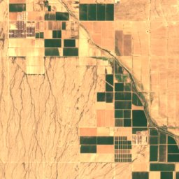
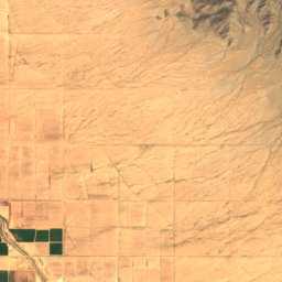
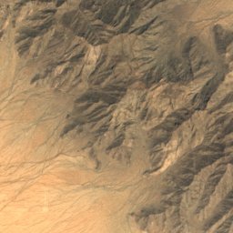
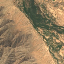
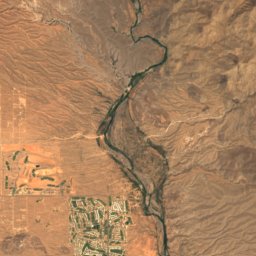
Satellite: Sentinel-2 cloudless 2016 by EOX IT Services GmbH · CC BY 4.0 · Contains modified Copernicus Sentinel data 2016
Hayes Peak
4,511 ft · Sierra Estrella
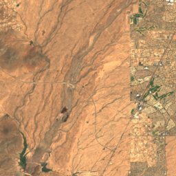
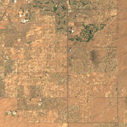
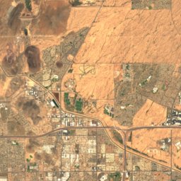
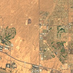
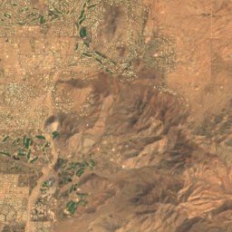
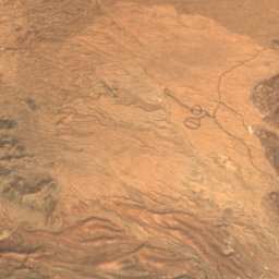
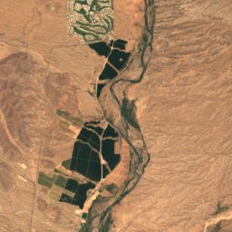
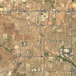
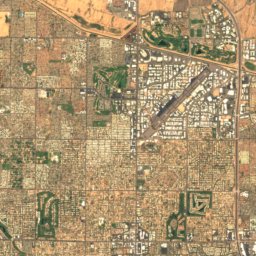
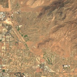
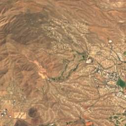
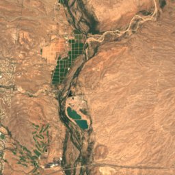
Satellite: Sentinel-2 cloudless 2016 by EOX IT Services GmbH · CC BY 4.0 · Contains modified Copernicus Sentinel data 2016
East End Peak
4,069 ft · McDowell Mountains
Satellite: Sentinel-2 cloudless 2016 by EOX IT Services GmbH · CC BY 4.0 · Contains modified Copernicus Sentinel data 2016
McDowell Peak
4,036 ft
Heritage

Arizona State Capitol
National Register of Historic Places listed place · 1901

Union Station, Phoenix
National Register of Historic Places listed place · 1923

Professional Building, Phoenix
National Register of Historic Places listed place · 1932


