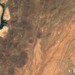
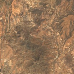
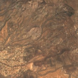
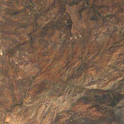
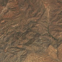
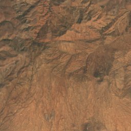
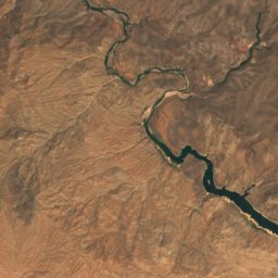
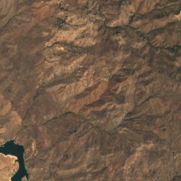
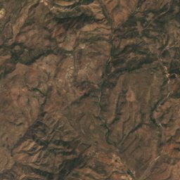
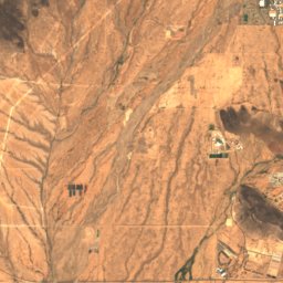
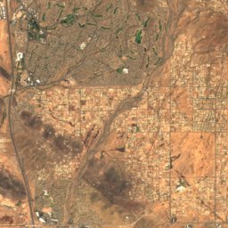
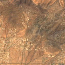
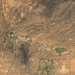
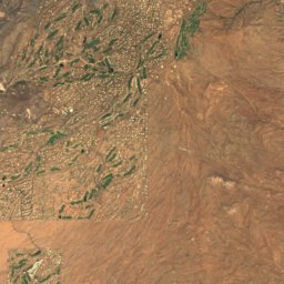
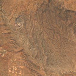
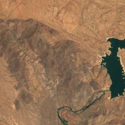
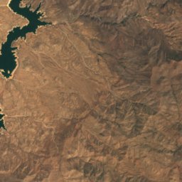
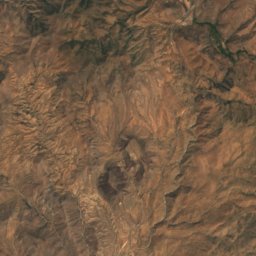
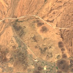
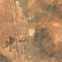
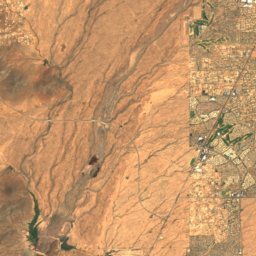
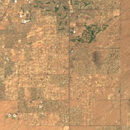
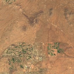
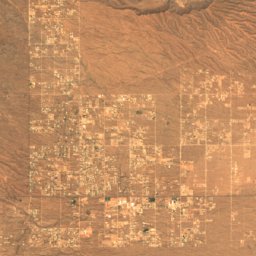
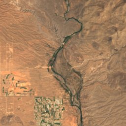
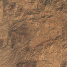
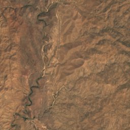
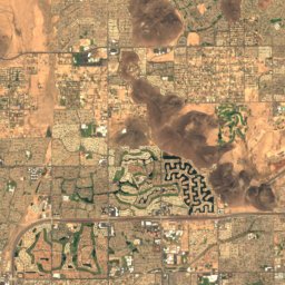
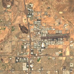
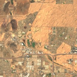
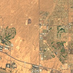
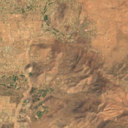
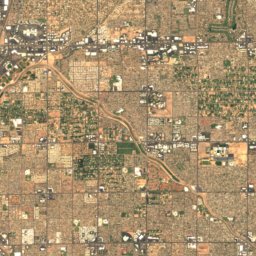
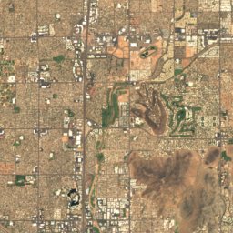
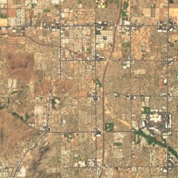
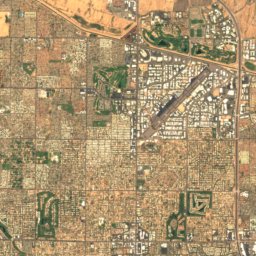
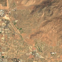
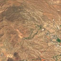
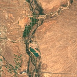
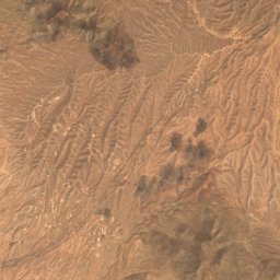
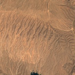
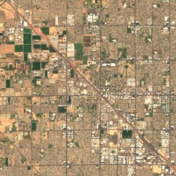
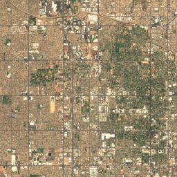
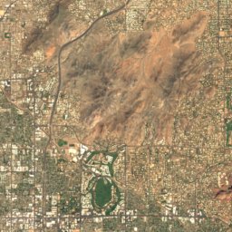
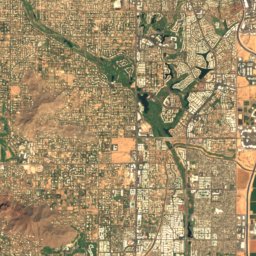
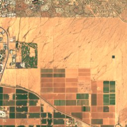
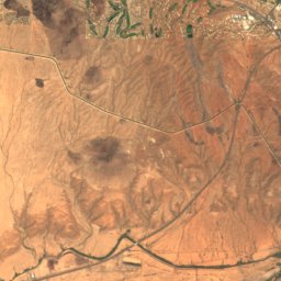
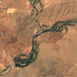
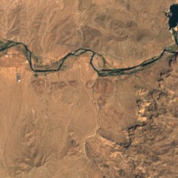
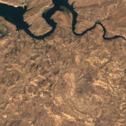
Satellite: Sentinel-2 cloudless 2016 by EOX IT Services GmbH · CC BY 4.0 · Contains modified Copernicus Sentinel data 2016

Photo: GreenGibbon · CC BY-SA 3.0 · Wikimedia Commons
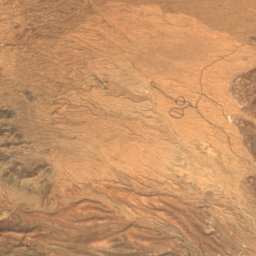
Thompson Peak (Arizona)Report this photo · linked, not stored
Thompson Peak (Arizona)Thompson Peak (Arizona)Report this photo · linked, not stored

Photo: Scuba909 · CC BY-SA 3.0 · Wikimedia Commons
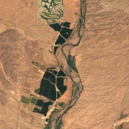
Black Mountain (Maricopa County, Arizona)Report this photo · linked, not stored
Black Mountain (Maricopa County, Arizona)Black Mountain (Maricopa County, Arizona)Report this photo · linked, not stored

Photo: Alexander Haynes · CC BY-SA 3.0 · Wikimedia Commons
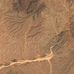
Pinnacle Peak (Arizona)Report this photo · linked, not stored
Pinnacle Peak (Arizona)Pinnacle Peak (Arizona)Report this photo · linked, not stored

Photo: Dru Bloomfield from Scottsdale, Arizona, USA · CC BY 2.0 · Wikimedia Commons
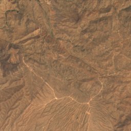
Camelback MountainReport this photo · linked, not stored
Camelback MountainCamelback MountainReport this photo · linked, not stored
McDowell Mountains · Arizona · United StatesSummit weather, forecast and climate
East End Peak
4,069 ft
Elevation4,069 ftabove sea level
Prominence1,280 ftindependent height
Isolation27 mito a higher summit
Summit, Jul97°average high
33.68° N, 111.80° WElevation 4,069 ftUTC−7 · Mountain Standard Time
From the valley to the top
- Summit4,069 ft
- Mid-mountain2,854 ft
- Valley · Taliesin West1,621 ft
Freezing level in October: above the summit
iThe mountain
East End Peak in brief
East End Peak rises to 4,069 ft in the McDowell Mountains, Arizona, United States. Its topographic prominence — the height it stands above the lowest contour enclosing a higher summit — is 1,280 ft.
At the summit, July is the mildest month with average highs of 97°, while nights rarely fall below freezing.
The nearest town in the atlas is Taliesin West, 5.6 mi to the SW at 1,621 ft.
Facts
- Elevation
- 4,069 ft
- Prominence
- 1,280 ft
- Range
- McDowell Mountains
- Region
- Arizona
- Country
- United States
- Coordinates
- 33.6797, -111.8006
- Nearest airport
- Phoenix Sky Harbor International Airport (PHX) · 21 mi
iiForecast
Weather at three heights
Temperatures are adjusted to each height; summits are usually colder and windier than the valley forecast suggests.
Loading the latest forecast…
Loading the latest forecast…
Loading the latest forecast…
iiiSummit climate
The top of East End Peak by month
Summit temperatures and precipitation
Climate normals for the summit area (~1 km grid), station-adjusted| Month | Jan | Feb | Mar | Apr | May | Jun | Jul | Aug | Sep | Oct | Nov | Dec |
|---|---|---|---|---|---|---|---|---|---|---|---|---|
| Average high | 61° | 63° | 69° | 76° | 84° | 94° | 97° | 96° | 91° | 80° | 69° | 60° |
| Average low | 37° | 39° | 42° | 47° | 55° | 65° | 71° | 70° | 65° | 54° | 44° | 37° |
| Precipitation | 1.7 in | 1.7 in | 1.7 in | 0.6 in | 0.2 in | 0.1 in | 1.3 in | 1.7 in | 1.1 in | 1.1 in | 1.1 in | 1.5 in |
| Cloud cover | 26% | 31% | 24% | 17% | 14% | 10% | 21% | 21% | 12% | 14% | 19% | 25% |
| Daylight | 10h 10 | 11h 00 | 11h 57 | 13h 01 | 13h 54 | 14h 23 | 14h 11 | 13h 25 | 12h 24 | 11h 22 | 10h 25 | 9h 56 |
| Month score | 78 | 84 | 88 | 96 | 82 | 60 | 49 | 46 | 60 | 85 | 93 | 77 |
Snow and freezing level
Average height of the 0 °C level from the summit normals (6.5 °C per km); snow months have a summit mean at or below +1 °C| Month | Jan | Feb | Mar | Apr | May | Jun | Jul | Aug | Sep | Oct | Nov | Dec |
|---|---|---|---|---|---|---|---|---|---|---|---|---|
| Freezing level | 8,858 ft | 9,350 ft | 10,663 ft | 12,303 ft | 14,600 ft | 17,388 ft | 18,537 ft | 18,373 ft | 16,896 ft | 13,944 ft | 10,991 ft | 8,694 ft |
| Summit | above 0 °C | above 0 °C | above 0 °C | above 0 °C | above 0 °C | above 0 °C | above 0 °C | above 0 °C | above 0 °C | above 0 °C | above 0 °C | above 0 °C |
ivTerrain
East End Peak in 3D
vNeighbours
Mountains of the United StatesPeaks nearby
| Mountain | Elevation | Prominence | Distance | July summit high |
|---|---|---|---|---|
| McDowell Peak | 4,036 ft | 1,004 ft | 1.7 mi SW | 98° |
| Thompson Peak (Arizona) | 3,984 ft | 762 ft | 2.5 mi S | 98° |
| Black Mountain (Maricopa County, Arizona) | 3,403 ft | 1,028 ft | 12 mi NW | 102° |
| Pinnacle Peak (Arizona) | 3,169 ft | 567 ft | 5.1 mi NW | 101° |
| Mount McDowell | 2,832 ft | – | 11 mi SE | 104° |
| Camelback Mountain | 2,706 ft | 1,334 ft | 15 mi SW | 103° |
viBase towns
Where to stay nearby
Satellite: Sentinel-2 cloudless 2016 by EOX IT Services GmbH · CC BY 4.0 · Contains modified Copernicus Sentinel data 2016
Fountain Hills
Arizona · 6.7 mi SE
87°Oct high
4wet days
67score


Around here
Taliesin West and around

Taliesin West
Arizona · United States
Jan · Mar · Novbest months
104°July high
1,621 ftaltitude
Nature


Photo: Hunter Trick (TrickHunter) · CC BY-SA 4.0 · Wikimedia CommonsReport this photo · linked, not stored
Chaparral Lake
Lake

Mountains
Satellite: Sentinel-2 cloudless 2016 by EOX IT Services GmbH · CC BY 4.0 · Contains modified Copernicus Sentinel data 2016
McDowell Peak
4,036 ft
Heritage

Satellite: Sentinel-2 cloudless 2016 by EOX IT Services GmbH · CC BY 4.0 · Contains modified Copernicus Sentinel data 2016
Taliesin West
National Historic Landmark · 1937

Photo: Tony the Marine (talk) · Public domain · Wikimedia CommonsReport this photo · linked, not stored
Edward L. Jones House
National Register of Historic Places listed place · 1932

Photo: Marine 69-71 at en.wikipedia · CC BY-SA 3.0 · Wikimedia CommonsReport this photo · linked, not stored
Squaw Peak Inn
National Register of Historic Places listed place · 1929
Museums

Photo: Tashaila Nichole Meyers & User:Argon233 · CC BY-SA 3.0 · Wikimedia CommonsReport this photo · linked, not stored
Musical Instrument Museum
Musical instrument museum · 2010

Photo: Dru Bloomfield from Scottsdale, Arizona, USA · CC BY 2.0 · Wikimedia CommonsReport this photo · linked, not stored
Scottsdale Museum of Contemporary Art
Art museum · 1999


