
Photo: Junkyardsparkle · CC0 · Wikimedia Commons
Silver Lake ReservoirReport this photo · linked, not stored
Silver Lake ReservoirReport this photo · linked, not stored

Photo: Accord14 · CC BY-SA 4.0 · Wikimedia Commons
Echo Park LakeReport this photo · linked, not stored
Echo Park LakeEcho Park LakeReport this photo · linked, not stored

Photo: Davide D'Amico from London, United Kingdom · CC BY-SA 2.0 · Wikimedia Commons
Hollywood ReservoirReport this photo · linked, not stored
Hollywood ReservoirHollywood ReservoirReport this photo · linked, not stored

Photo: Unknown authorUnknown author or not provided · Public domain · Wikimedia Commons
Verdugo WashReport this photo · linked, not stored
Verdugo WashVerdugo WashReport this photo · linked, not stored

Photo: DocFreeman24 · CC BY-SA 4.0 · Wikimedia Commons
Stone Canyon ReservoirReport this photo · linked, not stored
Stone Canyon ReservoirStone Canyon ReservoirReport this photo · linked, not stored
LakeGlendale, California
Silver Lake Reservoir
Lake466 ft elevationBest Apr–May · Nov
Elevation466 ftabove sea level
Area0.3 km²surface
Nearest townGlendale2.9 mi
34.10° N, 118.26° WElevation 466 ftUTC−7 · Pacific Daylight Time
When to goGlendale · weather score
Best timeApr–May · Nov
October: high / low81° / 57°
Lake
Silver Lake Reservoir in brief
Silver Lake Reservoir is a lake in Glendale, California, United States — water supply reservoir for the city of Los Angeles, CA, US.
It lies at 466 ft above sea level and covers about 0.3 km².
The nearest town in the atlas is Glendale, 2.9 mi to the N, where the weather is best in April, May and November.
Weather nearby now
Forecast for Glendale57°
Rain now
Today
22 Oct
62°
54°
0.7 in
Fri
23 Oct
67°
53°
0.2 in
Sat
24 Oct
74°
52°
Sun
25 Oct
73°
61°
Mon
26 Oct
77°
63°
Model run 00:00 UTCRefreshed several times a day
The lake's water
Surface, average depth and volume of the lake, and the length of its shore.Surface0.3 km²
Average depth18 ft
Volume2 million m³
Shoreline1.7 mi
Map
Silver Lake Reservoir from above
Nature nearbyAll of the United States


Photo: Davide D'Amico from London, United Kingdom · CC BY-SA 2.0 · Wikimedia CommonsReport this photo · linked, not stored

Photo: Unknown authorUnknown author or not provided · Public domain · Wikimedia CommonsReport this photo · linked, not stored


Summits nearbyMountains of the United States
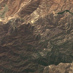
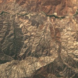
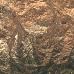
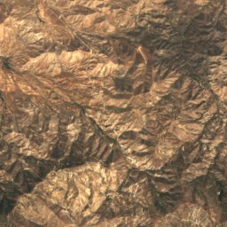
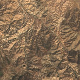
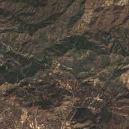
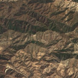
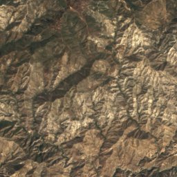
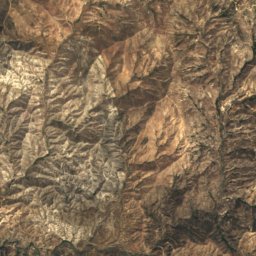
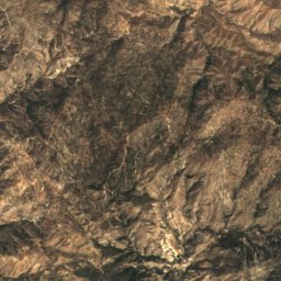
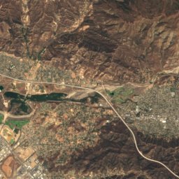
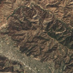
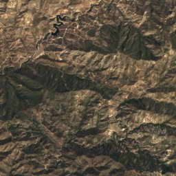
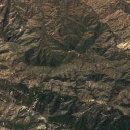
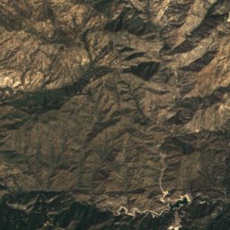
Satellite: Sentinel-2 cloudless 2016 by EOX IT Services GmbH · CC BY 4.0 · Contains modified Copernicus Sentinel data 2016
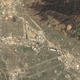
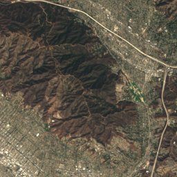
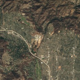
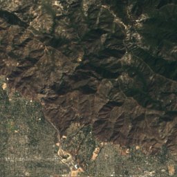
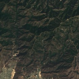
Satellite: Sentinel-2 cloudless 2016 by EOX IT Services GmbH · CC BY 4.0 · Contains modified Copernicus Sentinel data 2016
Satellite: Sentinel-2 cloudless 2016 by EOX IT Services GmbH · CC BY 4.0 · Contains modified Copernicus Sentinel data 2016

Photo: Doc Searls from Santa Barbara, USA · CC BY 2.0 · Wikimedia CommonsReport this photo · linked, not stored


Photo: The original uploader was Geographer at English Wikipedia. · CC BY 1.0 · Wikimedia CommonsReport this photo · linked, not stored
Stay nearby
Towns close by


Photo: Trougnouf (Benoit Brummer) · CC BY 4.0 · Wikimedia CommonsReport this photo · linked, not stored
Burbank
California · 6.1 mi NW
82°Oct high
2wet days
84score

Photo: The original uploader was Geographer at English Wikipedia. · CC BY 2.5 · Wikimedia CommonsReport this photo · linked, not stored
South Pasadena
California · 6.6 mi E
82°Oct high
2wet days
84score
Around here
Glendale and around
Nature
Photo: Davide D'Amico from London, United Kingdom · CC BY-SA 2.0 · Wikimedia CommonsReport this photo · linked, not stored
Hollywood Reservoir
Lake · 732 ft
Photo: Unknown authorUnknown author or not provided · Public domain · Wikimedia CommonsReport this photo · linked, not stored
Verdugo Wash
River
Mountains

Satellite: Sentinel-2 cloudless 2016 by EOX IT Services GmbH · CC BY 4.0 · Contains modified Copernicus Sentinel data 2016
Strawberry Peak
6,167 ft · San Gabriel Mountains
Satellite: Sentinel-2 cloudless 2016 by EOX IT Services GmbH · CC BY 4.0 · Contains modified Copernicus Sentinel data 2016
San Gabriel Peak
6,164 ft · San Gabriel Mountains
Heritage

Glendale Transportation Center
National Register of Historic Places listed place · 1923


Museums




Satellite: Sentinel-2 cloudless 2016 by EOX IT Services GmbH · CC BY 4.0 · Contains modified Copernicus Sentinel data 2016