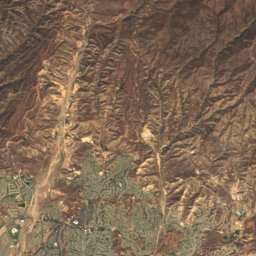
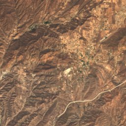
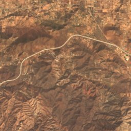
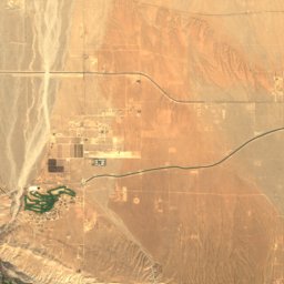
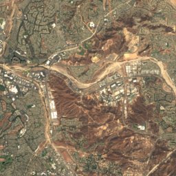
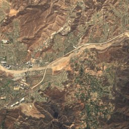
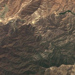
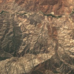
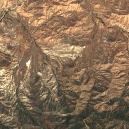
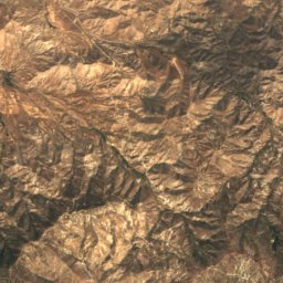
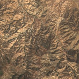
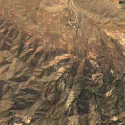
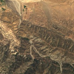
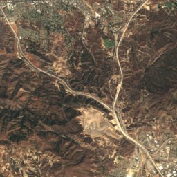
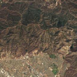
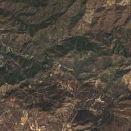
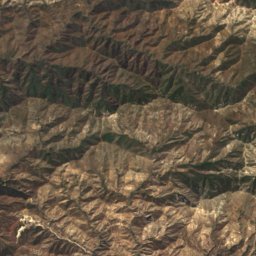
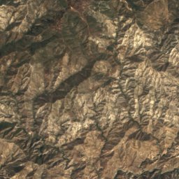
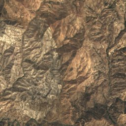
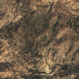
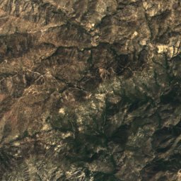
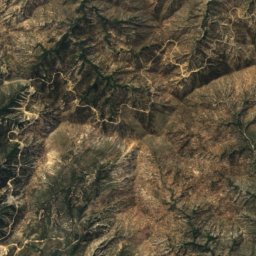
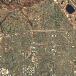
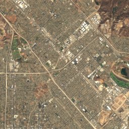
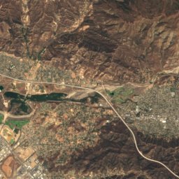
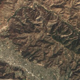
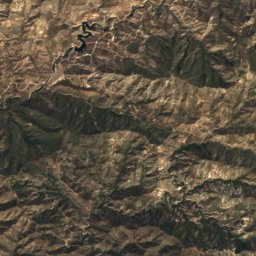
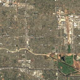
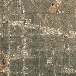
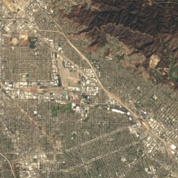
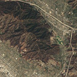
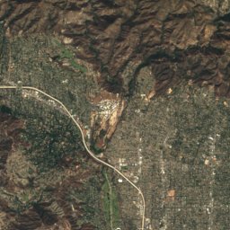
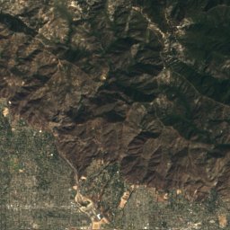
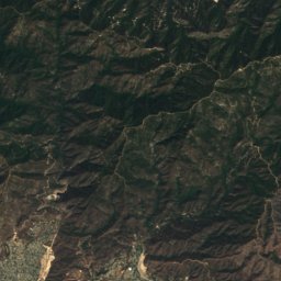
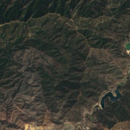
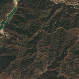
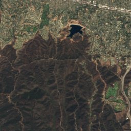
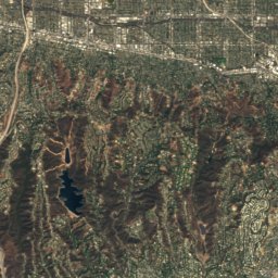
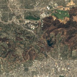
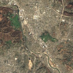
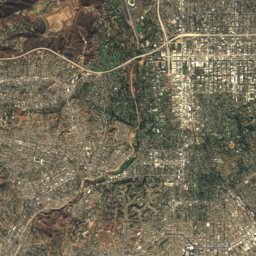
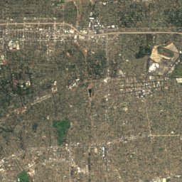
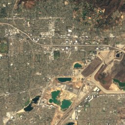
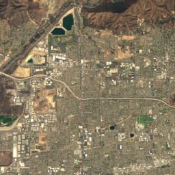
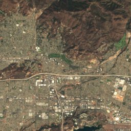
Satellite: Sentinel-2 cloudless 2016 by EOX IT Services GmbH · CC BY 4.0 · Contains modified Copernicus Sentinel data 2016

Photo: The Fun Chronicles · CC0 · Wikimedia Commons
Waterman MountainReport this photo · linked, not stored
Waterman MountainWaterman MountainReport this photo · linked, not stored

Photo: Doc Searls from Santa Barbara, USA · CC BY 2.0 · Wikimedia Commons
Mount LukensReport this photo · linked, not stored
Mount LukensMount LukensReport this photo · linked, not stored
 Cahuenga Peak

Photo: The original uploader was Geographer at English Wikipedia. · CC BY 1.0 · Wikimedia Commons
Mount Wilson (California)Report this photo · linked, not stored
Mount Wilson (California)Mount Wilson (California)Report this photo · linked, not stored
San Gabriel Mountains · California · United StatesSummit weather, forecast and climate
San Gabriel Peak
6,164 ft
Elevation6,164 ftabove sea level
Prominence1,561 ftindependent height
Isolation3.0 mito a higher summit
Summit, Jul84°average high
34.24° N, 118.10° WElevation 6,164 ftUTC−7 · Pacific Daylight Time
From the valley to the top
- Summit6,164 ft
- Mid-mountain3,773 ft
- Valley · Altadena1,358 ft
Freezing level in October: above the summit
iThe mountain
San Gabriel Peak in brief
San Gabriel Peak rises to 6,164 ft in the San Gabriel Mountains, California, United States. Its topographic prominence — the height it stands above the lowest contour enclosing a higher summit — is 1,561 ft.
At the summit, August is the mildest month with average highs of 85°, while nights rarely fall below freezing.
The nearest town in the atlas is Altadena, 4.2 mi to the SW at 1,358 ft.
Facts
- Elevation
- 6,164 ft
- Prominence
- 1,561 ft
- Range
- San Gabriel Mountains
- Region
- California
- Country
- United States
- Coordinates
- 34.2433, -118.0980
- Nearest airport
- Hollywood Burbank/Bob Hope Airport (BUR) · 15 mi
iiForecast
Weather at three heights
Temperatures are adjusted to each height; summits are usually colder and windier than the valley forecast suggests.
Loading the latest forecast…
Loading the latest forecast…
Loading the latest forecast…
iiiSummit climate
The top of San Gabriel Peak by month
Summit temperatures and precipitation
Climate normals for the summit area (~1 km grid), station-adjusted| Month | Jan | Feb | Mar | Apr | May | Jun | Jul | Aug | Sep | Oct | Nov | Dec |
|---|---|---|---|---|---|---|---|---|---|---|---|---|
| Average high | 55° | 54° | 58° | 62° | 69° | 78° | 84° | 85° | 80° | 71° | 62° | 54° |
| Average low | 37° | 35° | 38° | 40° | 47° | 56° | 63° | 63° | 57° | 50° | 42° | 36° |
| Precipitation | 4.8 in | 5.4 in | 3.6 in | 2.0 in | 0.6 in | 0.2 in | 0.1 in | 0.2 in | 0.4 in | 1.1 in | 2.4 in | 3.7 in |
| Cloud cover | 33% | 38% | 31% | 24% | 18% | 9% | 7% | 6% | 10% | 16% | 23% | 30% |
| Daylight | 10h 07 | 10h 58 | 11h 57 | 13h 02 | 13h 57 | 14h 26 | 14h 13 | 13h 27 | 12h 24 | 11h 21 | 10h 23 | 9h 53 |
| Month score | 39 | 33 | 57 | 80 | 96 | 96 | 83 | 81 | 90 | 92 | 76 | 43 |
Snow and freezing level
Average height of the 0 °C level from the summit normals (6.5 °C per km); snow months have a summit mean at or below +1 °C| Month | Jan | Feb | Mar | Apr | May | Jun | Jul | Aug | Sep | Oct | Nov | Dec |
|---|---|---|---|---|---|---|---|---|---|---|---|---|
| Freezing level | 10,007 ft | 9,678 ft | 10,663 ft | 11,647 ft | 13,451 ft | 16,076 ft | 17,881 ft | 17,881 ft | 16,404 ft | 14,108 ft | 11,647 ft | 9,843 ft |
| Summit | above 0 °C | above 0 °C | above 0 °C | above 0 °C | above 0 °C | above 0 °C | above 0 °C | above 0 °C | above 0 °C | above 0 °C | above 0 °C | above 0 °C |
ivTerrain
San Gabriel Peak in 3D
vNeighbours
Mountains of the United StatesPeaks nearby
| Mountain | Elevation | Prominence | Distance | July summit high |
|---|---|---|---|---|
| Waterman Mountain | 8,041 ft | 1,378 ft | 11 mi NE | 75° |
| Strawberry Peak | 6,167 ft | 1,444 ft | 3.1 mi NW | 85° |
| Vetter Mountain | 5,911 ft | 708 ft | 5.4 mi NE | 83° |
| Mount Lowe | 5,606 ft | – | 0.9 mi SW | 85° |
| Mount Lukens | 5,075 ft | 1,794 ft | 8.2 mi W | 87° |
| Cahuenga Peak | 1,821 ft | 1,030 ft | 15 mi SW | 87° |
| Mount Wilson (California) | 1,741 ft | – | 2.5 mi SE | 83° |
| Mount Lee | 1,708 ft | – | 15 mi SW | 87° |
viBase towns
Where to stay nearby


Photo: Doc Searls from Santa Barbara, USA · CC BY 2.0 · Wikimedia CommonsReport this photo · linked, not stored
La Cañada Flintridge
California · 6.0 mi SW
81°Oct high
2wet days
86score


Around here
Altadena and around
Nature

Photo: Unknown authorUnknown author or not provided · Public domain · Wikimedia CommonsReport this photo · linked, not stored
Verdugo Wash
River

Baldwin Lake (Los Angeles County, California)
Lake

Mountains

Photo: The original uploader was Jakerome at English Wikipedia./ Simonov · CC BY-SA 2.0 · Wikimedia CommonsReport this photo · linked, not stored
Mount Baden-Powell
9,407 ft · San Gabriel Mountains

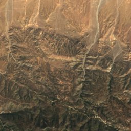
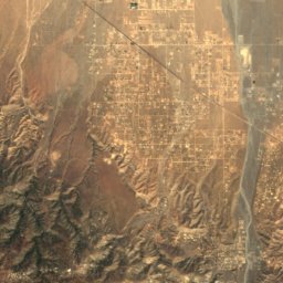
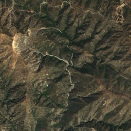
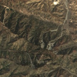
Satellite: Sentinel-2 cloudless 2016 by EOX IT Services GmbH · CC BY 4.0 · Contains modified Copernicus Sentinel data 2016
Mount Burnham
9,001 ft · San Gabriel Mountains
Heritage
Satellite: Sentinel-2 cloudless 2016 by EOX IT Services GmbH · CC BY 4.0 · Contains modified Copernicus Sentinel data 2016
Andrew McNally House
National Register of Historic Places listed place · 1888


Villa Carlotta, Altadena
National Register of Historic Places listed place
Museums

Photo: Tony Mariotti from Los Angeles, United States · CC BY 2.0 · Wikimedia CommonsReport this photo · linked, not stored
Norton Simon Museum
Art museum · 1942



Satellite: Sentinel-2 cloudless 2016 by EOX IT Services GmbH · CC BY 4.0 · Contains modified Copernicus Sentinel data 2016
The Huntington Library, Art Museum, and Botanical Gardens
Art museum · 1919