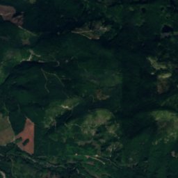
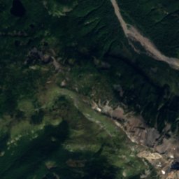
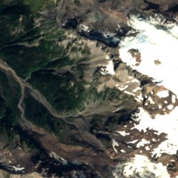
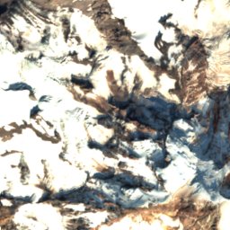
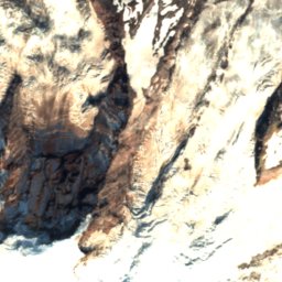
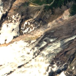
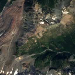
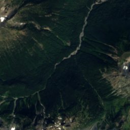
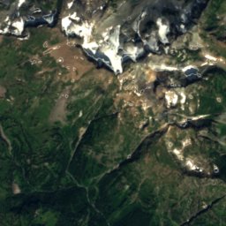
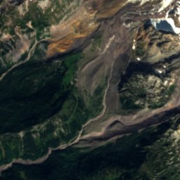
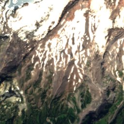
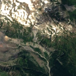
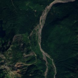
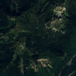
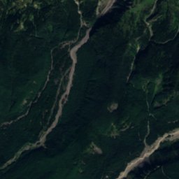
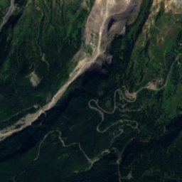
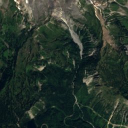
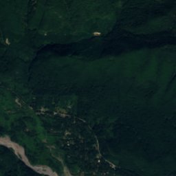
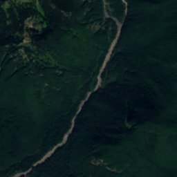
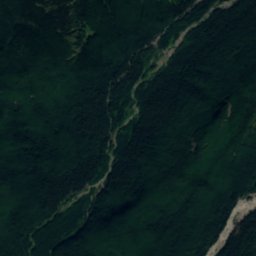
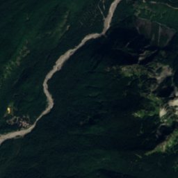
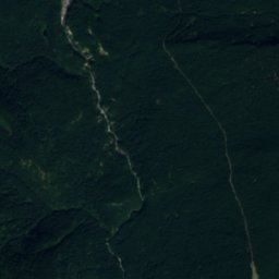
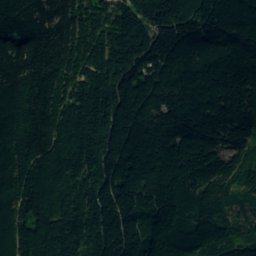
Satellite: Sentinel-2 cloudless 2016 by EOX IT Services GmbH · CC BY 4.0 · Contains modified Copernicus Sentinel data 2016

Photo: Mr.Z-man · CC BY-SA 3.0 · Wikimedia Commons
Narada FallsReport this photo · linked, not stored
Narada FallsNarada FallsReport this photo · linked, not stored

Photo: NPS Photo · Public domain · Wikimedia Commons
Myrtle FallsReport this photo · linked, not stored
Myrtle FallsMyrtle FallsReport this photo · linked, not stored

Photo: © Steven Pavlov / https://commons.wikimedia.org/wiki/User:Senapa · CC BY-SA 4.0 · Wikimedia Commons
Louise Lake, WashingtonReport this photo · linked, not stored
Louise Lake, WashingtonLouise Lake, WashingtonReport this photo · linked, not stored

Photo: Walter Siegmund (talk) · CC BY-SA 3.0 · Wikimedia Commons
Mount RainierReport this photo · linked, not stored
Mount RainierMount RainierReport this photo · linked, not stored
WaterfallParadise, Washington
Ruby Falls
WaterfallBest Jul–Sep
Elevation–above sea level
Height–of the falls
Nearest townParadise0.6 mi
46.78° N, 121.74° WUTC−7 · Pacific Daylight Time
When to goParadise · weather score
Best timeJul–Sep
October: high / low45° / 32°
Waterfall
Ruby Falls in brief
Ruby Falls is a waterfall in Paradise, Washington, United States.
The nearest town is Paradise, 0.6 mi to the N, where the weather is best in July, August and September.
Weather nearby now
Forecast for Paradise33°
Cloudy now
Today
26 Oct
34°
35°
0.1 in
Tue
27 Oct
33°
31°
0.4 in
Wed
28 Oct
29°
23°
1.0 in
Thu
29 Oct
30°
24°
0.3 in
Fri
30 Oct
29°
20°
0.0 in
Model run 12:00 UTCRefreshed several times a day
When to go
Climate of ParadiseThe best months around Ruby Falls
Month score in Paradise
Comfort, dry days and sunshine · out of 10010
Jan
13
Feb
12
Mar
14
Apr
15
May
30
Jun
80
Jul
84
Aug
55
Sep
16
Oct
10
Nov
10
Dec
Map
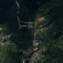
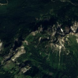
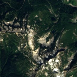
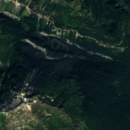
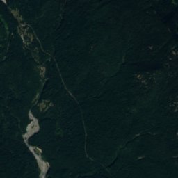
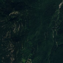
Ruby Falls from above
Nature nearbyAll of the United States
Satellite: Sentinel-2 cloudless 2016 by EOX IT Services GmbH · CC BY 4.0 · Contains modified Copernicus Sentinel data 2016

Satellite: Sentinel-2 cloudless 2016 by EOX IT Services GmbH · CC BY 4.0 · Contains modified Copernicus Sentinel data 2016
Satellite: Sentinel-2 cloudless 2016 by EOX IT Services GmbH · CC BY 4.0 · Contains modified Copernicus Sentinel data 2016


Photo: © Steven Pavlov / https://commons.wikimedia.org/wiki/User:Senapa · CC BY-SA 4.0 · Wikimedia CommonsReport this photo · linked, not stored
Summits nearbyMountains of the United States

Photo: Walter Siegmund (talk) · CC BY-SA 3.0 · Wikimedia CommonsReport this photo · linked, not stored


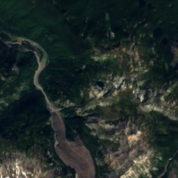
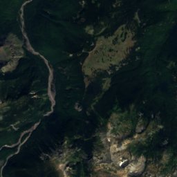
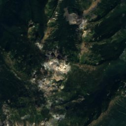
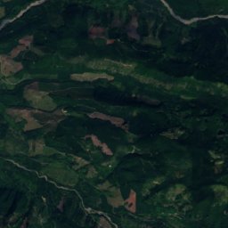
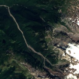
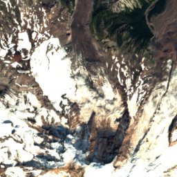
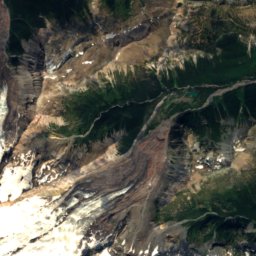
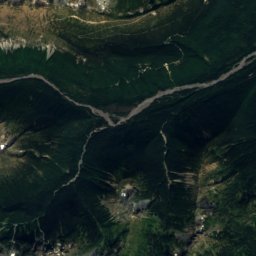
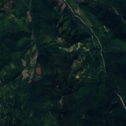
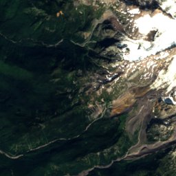
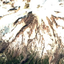
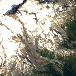
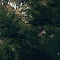
Satellite: Sentinel-2 cloudless 2016 by EOX IT Services GmbH · CC BY 4.0 · Contains modified Copernicus Sentinel data 2016

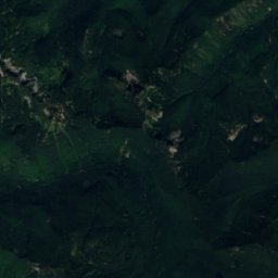
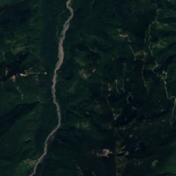
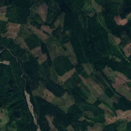
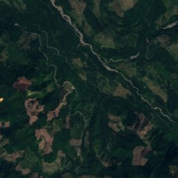
Satellite: Sentinel-2 cloudless 2016 by EOX IT Services GmbH · CC BY 4.0 · Contains modified Copernicus Sentinel data 2016
Stay nearby
Towns close by

Photo: Walter Siegmund (talk) · CC BY-SA 3.0 · Wikimedia CommonsReport this photo · linked, not stored
Paradise
Washington · 0.6 mi N
45°Oct high
15wet days
16score

Photo: Walter Siegmund (talk) · CC BY-SA 3.0 · Wikimedia CommonsReport this photo · linked, not stored
Packwood
Washington · 12 mi S
62°Oct high
15wet days
55score

Around here
Paradise and around
Photo: Walter Siegmund (talk) · CC BY-SA 3.0 · Wikimedia CommonsReport this photo · linked, not stored
Paradise
Washington · United States
Jul–Sepbest months
61°July high
5,427 ftaltitude
Nature

Photo: Ricardo Martins from Gent, Belgium · CC BY 2.0 · Wikimedia CommonsReport this photo · linked, not stored
Mount Rainier National Park
National park


Mountains
Photo: Walter Siegmund (talk) · CC BY-SA 3.0 · Wikimedia CommonsReport this photo · linked, not stored
Mount Rainier
14,400 ft · Cascade Range


Heritage


Edith Creek Chlorination House
National Register of Historic Places contributing property · 1930

Photo: © Steven Pavlov / http://commons.wikimedia.org/wiki/User:Senapa · CC BY-SA 4.0 · Wikimedia CommonsReport this photo · linked, not stored
Narada Falls Bridge
National Register of Historic Places contributing property · 1927
Museums

Henry M. Jackson Visitor Center
National Park Service visitor center


Photo: © Steven Pavlov / https://commons.wikimedia.org/wiki/User:Senapa · CC BY-SA 4.0 · Wikimedia CommonsReport this photo · linked, not stored

Longmire Administration Building
National Park Service visitor center · 1928