

Photo: Craigdietrich · CC BY-SA 3.0 · Wikimedia Commons
Compton CreekReport this photo · linked, not stored
Compton CreekCompton CreekReport this photo · linked, not stored

Photo: Downtowngal · CC BY-SA 3.0 · Wikimedia Commons
Coyote Creek (San Gabriel River tributary)Report this photo · linked, not stored
Coyote Creek (San Gabriel River tributary)Coyote Creek (San Gabriel River tributary)Report this photo · linked, not stored

Photo: Accord14 · CC BY-SA 4.0 · Wikimedia Commons
Echo Park LakeReport this photo · linked, not stored
Echo Park LakeEcho Park LakeReport this photo · linked, not stored

Photo: Tracie Hall · CC BY-SA 2.0 · Wikimedia Commons
Colorado LagoonReport this photo · linked, not stored
Colorado LagoonColorado LagoonReport this photo · linked, not stored
RiverCudahy, California
Rio Hondo
RiverBest Apr–Jun
Elevation–above sea level
Length19 misource to mouth
Nearest townCudahy2.1 mi
33.93° N, 118.17° WUTC−7 · Pacific Daylight Time
When to goCudahy · weather score
Best timeApr–Jun
October: high / low80° / 58°
River
Rio Hondo in brief
Rio Hondo is a river in Cudahy, California, United States.
The nearest town in the atlas is Cudahy, 2.1 mi to the N, where the weather is best in April, May and June.
Rio Hondo is 19 mi long.
Weather nearby now
Forecast for Cudahy59°
Rain now
Today
22 Oct
68°
59°
0.3 in
Fri
23 Oct
71°
56°
Sat
24 Oct
75°
54°
Sun
25 Oct
77°
58°
Mon
26 Oct
79°
58°
Model run 00:00 UTCRefreshed several times a day
When to go
Climate of CudahyThe best months around Rio Hondo
Month score in Cudahy
Comfort, dry days and sunshine · out of 10088
Jan
83
Feb
88
Mar
94
Apr
96
May
95
Jun
82
Jul
78
Aug
80
Sep
87
Oct
92
Nov
86
Dec
Map
Rio Hondo from above
Nature nearbyAll of the United States

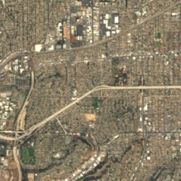
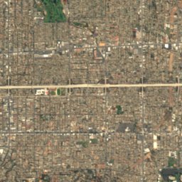
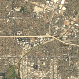
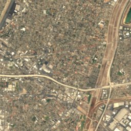
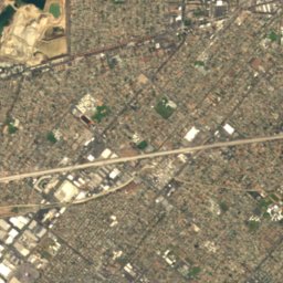
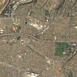
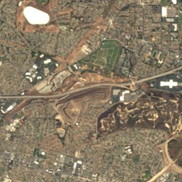
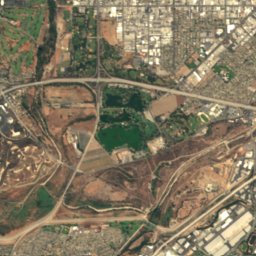
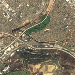
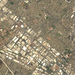
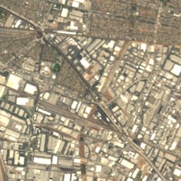
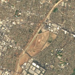
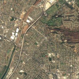
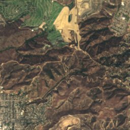
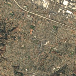
Satellite: Sentinel-2 cloudless 2016 by EOX IT Services GmbH · CC BY 4.0 · Contains modified Copernicus Sentinel data 2016
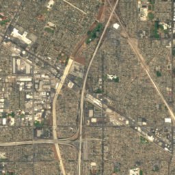
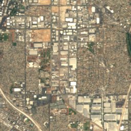
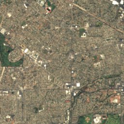
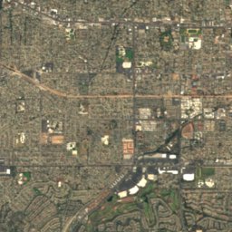
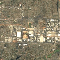
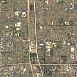
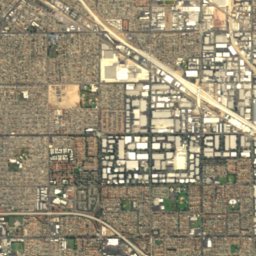
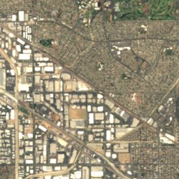
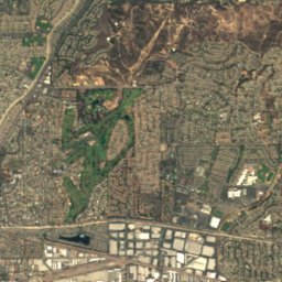
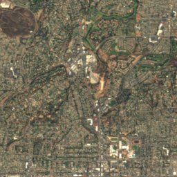
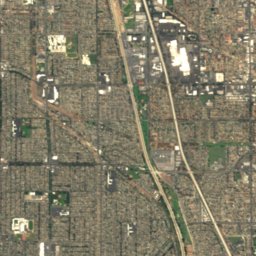
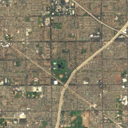
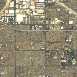
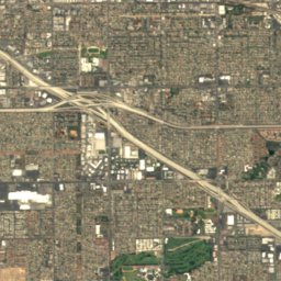
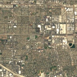
Satellite: Sentinel-2 cloudless 2016 by EOX IT Services GmbH · CC BY 4.0 · Contains modified Copernicus Sentinel data 2016


Summits nearbyMountains of the United States

Stay nearby
Towns close by
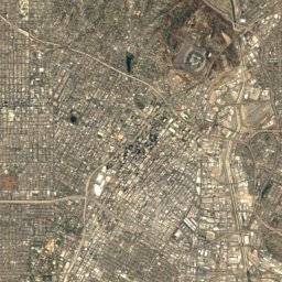
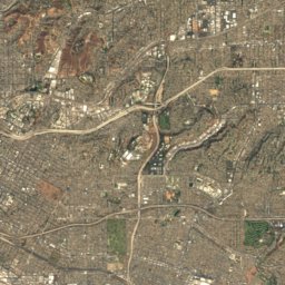
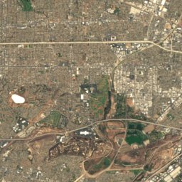
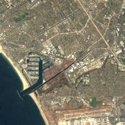
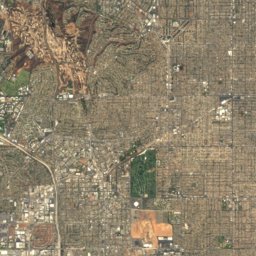
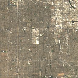
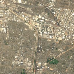
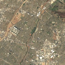
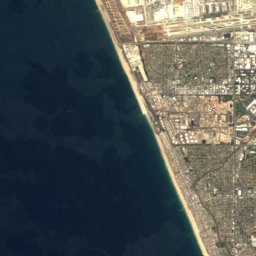
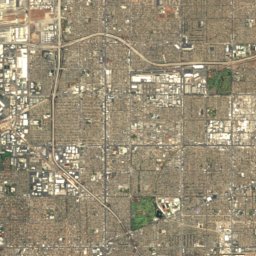
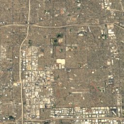
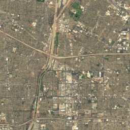
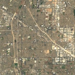
Satellite: Sentinel-2 cloudless 2016 by EOX IT Services GmbH · CC BY 4.0 · Contains modified Copernicus Sentinel data 2016
Cudahy
California · 2.1 mi N
80°Oct high
2wet days
87score


Around here
Cudahy and around
Nature

Photo: Davide D'Amico from London, United Kingdom · CC BY-SA 2.0 · Wikimedia CommonsReport this photo · linked, not stored
Hollywood Reservoir
Lake · 732 ft
Mountains
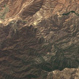
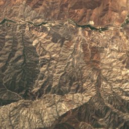
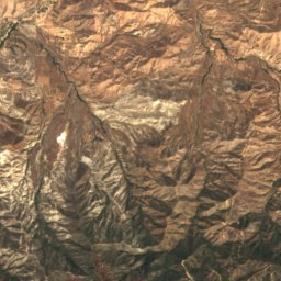
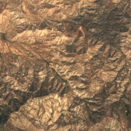
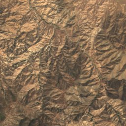
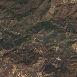
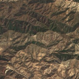
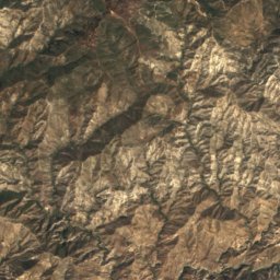
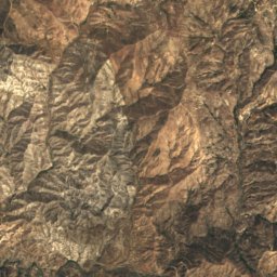
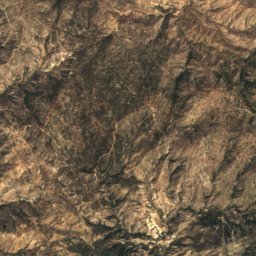
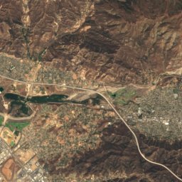
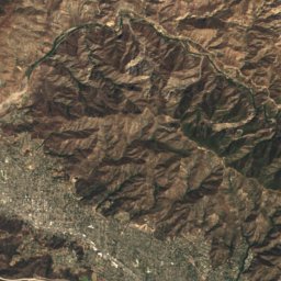
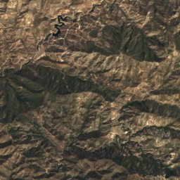
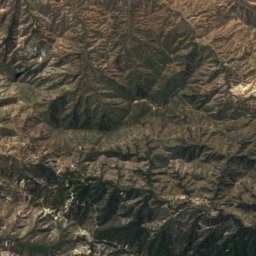
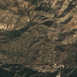
Satellite: Sentinel-2 cloudless 2016 by EOX IT Services GmbH · CC BY 4.0 · Contains modified Copernicus Sentinel data 2016
Strawberry Peak
6,167 ft · San Gabriel Mountains
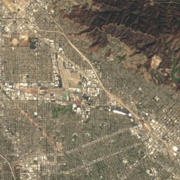
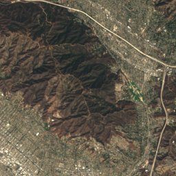
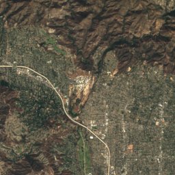
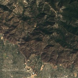
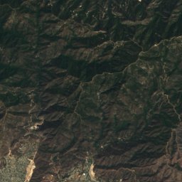
Satellite: Sentinel-2 cloudless 2016 by EOX IT Services GmbH · CC BY 4.0 · Contains modified Copernicus Sentinel data 2016
San Gabriel Peak
6,164 ft · San Gabriel Mountains
Satellite: Sentinel-2 cloudless 2016 by EOX IT Services GmbH · CC BY 4.0 · Contains modified Copernicus Sentinel data 2016
Mount Lowe
5,606 ft · San Gabriel Mountains
Heritage

Photo: Dreamyshade at the English-language Wikipedia · CC BY-SA 3.0 · Wikimedia CommonsReport this photo · linked, not stored
Shrine Auditorium and Expo Hall
National Register of Historic Places listed place · 1925


Eastern Columbia Building
Los Angeles Historic-Cultural Monument · 1930


