
Photo: Eric Tessmer from Honolulu Hawaii, USA · CC BY 2.0 · Wikimedia Commons
Oloʻupena FallsReport this photo · linked, not stored
Oloʻupena FallsReport this photo · linked, not stored

Photo: Eric Tessmer from Honolulu Hawaii, USA · CC BY 2.0 · Wikimedia Commons
Pu'uka'oku FallsReport this photo · linked, not stored
Pu'uka'oku FallsPu'uka'oku FallsReport this photo · linked, not stored

Photo: Travis.Thurston · CC BY-SA 3.0 · Wikimedia Commons
KamakouReport this photo · linked, not stored
KamakouKamakouReport this photo · linked, not stored

Photo: Forest & Kim Starr · CC BY 3.0 · Wikimedia Commons
East Molokai VolcanoReport this photo · linked, not stored
East Molokai VolcanoEast Molokai VolcanoReport this photo · linked, not stored
WaterfallKalawao, Hawaii
Oloʻupena Falls
WaterfallBest Jan · May–Jun
Elevation–above sea level
Height2,953 ftof the falls
Nearest townKalawao6.1 mi
21.16° N, 156.86° WUTC−10 · Hawaii-Aleutian Standard Time
When to goKalawao · weather score
Best timeJan · May–Jun
October: high / low84° / 72°
Waterfall
Oloʻupena Falls in brief
Oloʻupena Falls is a waterfall in Kalawao, Hawaii, United States.
It drops 2,953 ft.
The nearest town in the atlas is Kalawao, 6.1 mi to the W, where the weather is best in January, May and June.
Weather nearby now
Forecast for Kalawao80°
Clear now
Today
22 Oct
86°
74°
Fri
23 Oct
85°
74°
Sat
24 Oct
85°
73°
Sun
25 Oct
84°
71°
0.1 in
Mon
26 Oct
84°
73°
0.0 in
Model run 00:00 UTCRefreshed several times a day
When to go
Climate of KalawaoThe best months around Oloʻupena Falls
Month score in Kalawao
Comfort, dry days and sunshine · out of 10072
Jan
69
Feb
63
Mar
68
Apr
70
May
71
Jun
68
Jul
63
Aug
59
Sep
53
Oct
55
Nov
63
Dec
Map
Oloʻupena Falls from above
Nature nearbyAll of the United States

Photo: Eric Tessmer from Honolulu Hawaii, USA · CC BY 2.0 · Wikimedia CommonsReport this photo · linked, not stored
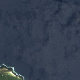
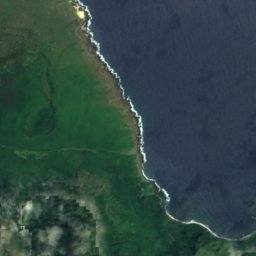
Satellite: Sentinel-2 cloudless 2016 by EOX IT Services GmbH · CC BY 4.0 · Contains modified Copernicus Sentinel data 2016
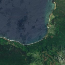
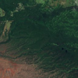
Satellite: Sentinel-2 cloudless 2016 by EOX IT Services GmbH · CC BY 4.0 · Contains modified Copernicus Sentinel data 2016
Satellite: Sentinel-2 cloudless 2016 by EOX IT Services GmbH · CC BY 4.0 · Contains modified Copernicus Sentinel data 2016
Satellite: Sentinel-2 cloudless 2016 by EOX IT Services GmbH · CC BY 4.0 · Contains modified Copernicus Sentinel data 2016
Satellite: Sentinel-2 cloudless 2016 by EOX IT Services GmbH · CC BY 4.0 · Contains modified Copernicus Sentinel data 2016
Summits nearbyMountains of the United States


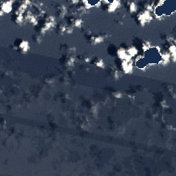
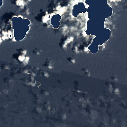
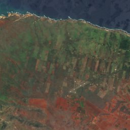
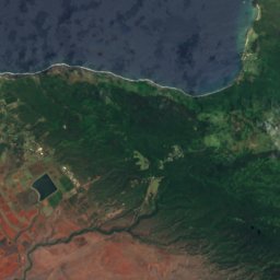
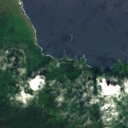
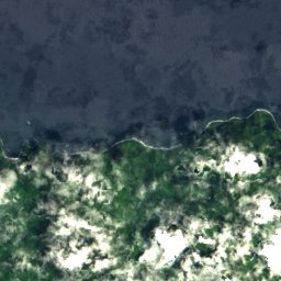
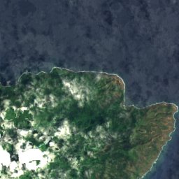
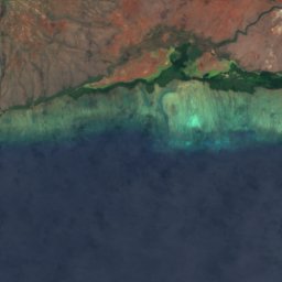
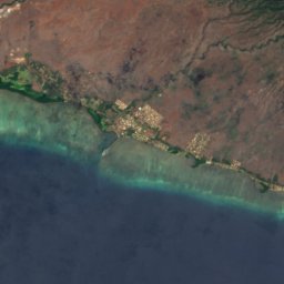
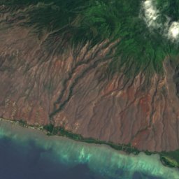
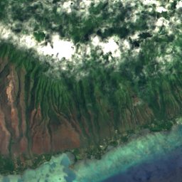
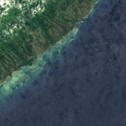
Satellite: Sentinel-2 cloudless 2016 by EOX IT Services GmbH · CC BY 4.0 · Contains modified Copernicus Sentinel data 2016

Stay nearby
Towns close by


Photo: The original uploader was Sanba38 at English Wikipedia. · CC BY-SA 2.5 · Wikimedia CommonsReport this photo · linked, not stored
Kalaupapa
Hawaii · 8.4 mi W
85°Oct high
13wet days
52score
Around here
Kalawao and around
Nature
Photo: Eric Tessmer from Honolulu Hawaii, USA · CC BY 2.0 · Wikimedia CommonsReport this photo · linked, not stored
Pu'uka'oku Falls
Waterfall


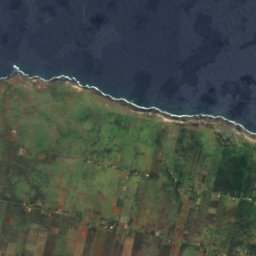
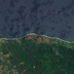
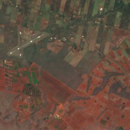
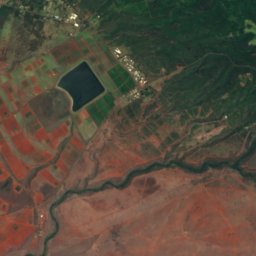
Satellite: Sentinel-2 cloudless 2016 by EOX IT Services GmbH · CC BY 4.0 · Contains modified Copernicus Sentinel data 2016
Meyer Lake, Hawaii
Lake

Mountains
Satellite: Sentinel-2 cloudless 2016 by EOX IT Services GmbH · CC BY 4.0 · Contains modified Copernicus Sentinel data 2016
Olokui
4,602 ft
Heritage

Photo: Lisa Sasser from Amherst, NH, USA · CC BY 2.0 · Wikimedia CommonsReport this photo · linked, not stored
Kalaupapa Leprosy Settlement and National Historical Park
National Register of Historic Places listed place · 1980












Satellite: Sentinel-2 cloudless 2016 by EOX IT Services GmbH · CC BY 4.0 · Contains modified Copernicus Sentinel data 2016
Moloka'i Light
National Register of Historic Places listed place · 1909