
Photo: Lisa Sasser from Amherst, NH, USA · CC BY 2.0 · Wikimedia Commons
Kalaupapa Leprosy Settlement and National Historical ParkReport this photo · linked, not stored
Kalaupapa Leprosy Settlement and National Historical ParkReport this photo · linked, not stored
National Historical ParkKalawao, Hawaii
Kalaupapa Leprosy Settlement and National Historical Park
National Register of Historic Places listed placeNational Historic LandmarkBuilt 1980
TypeNational Historical Park
Built1980
Best monthsJan · May–Junweather in Kalawao
21.18° N, 156.96° WUTC−10 · Hawaii-Aleutian Standard Time
Standing for46 years
built 1980today 2026
When to goKalawao · weather score
Best timeJan · May–Jun
October: high / low84° / 72°
iAbout
Kalaupapa Leprosy Settlement and National Historical Park in brief
Kalaupapa Leprosy Settlement and National Historical Park is a national historical park in Kalawao, Hawaii, United States.
It holds the designations National Register of Historic Places listed place and National Historic Landmark.
The national historical park dates from 1980.
For a visit, the weather in Kalawao is best in January, May and June; in October afternoons average 84°.
iiLocation
Where to find it
iiiWhen to visit
Climate guideWeather in Kalawao
Month score for sightseeing
Best Jan · May–Jun72
Jan
69
Feb
63
Mar
68
Apr
70
May
71
Jun
68
Jul
63
Aug
59
Sep
53
Oct
55
Nov
63
Dec
ivNearby
All monuments in the United StatesMore heritage close by









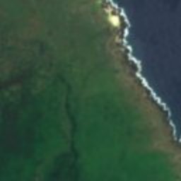
Satellite: Sentinel-2 cloudless 2016 by EOX IT Services GmbH · CC BY 4.0 · Contains modified Copernicus Sentinel data 2016
Moloka'i Light
2.5 mi N
National Register of Historic Places listed place
Around here
Kalawao and around

Nature

Photo: Eric Tessmer from Honolulu Hawaii, USA · CC BY 2.0 · Wikimedia CommonsReport this photo · linked, not stored
Oloʻupena Falls
Waterfall

Photo: Eric Tessmer from Honolulu Hawaii, USA · CC BY 2.0 · Wikimedia CommonsReport this photo · linked, not stored
Pu'uka'oku Falls
Waterfall


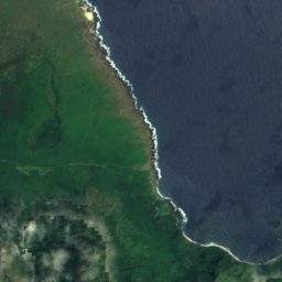
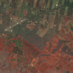
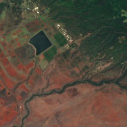
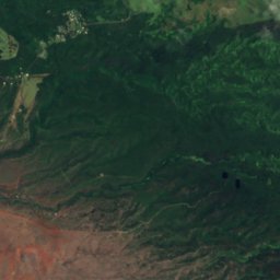
Satellite: Sentinel-2 cloudless 2016 by EOX IT Services GmbH · CC BY 4.0 · Contains modified Copernicus Sentinel data 2016
Meyer Lake, Hawaii
Lake
Mountains


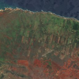
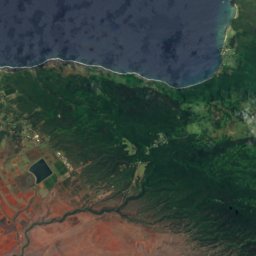
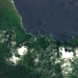
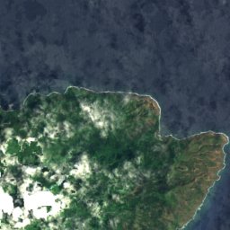
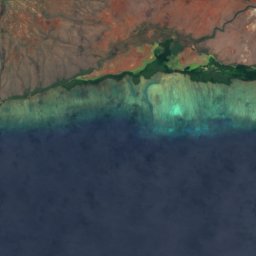
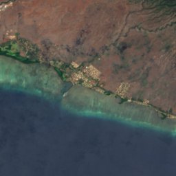
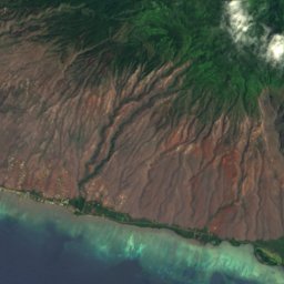
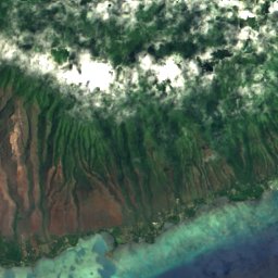
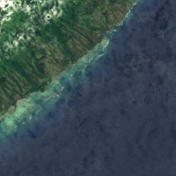
Satellite: Sentinel-2 cloudless 2016 by EOX IT Services GmbH · CC BY 4.0 · Contains modified Copernicus Sentinel data 2016
Olokui
4,602 ft

Heritage












Satellite: Sentinel-2 cloudless 2016 by EOX IT Services GmbH · CC BY 4.0 · Contains modified Copernicus Sentinel data 2016
Moloka'i Light
National Register of Historic Places listed place · 1909