
Photo: Sea Cow · CC BY-SA 4.0 · Wikimedia Commons
Goose Island (Chicago)Report this photo · linked, not stored
Goose Island (Chicago)Report this photo · linked, not stored

Photo: TonyTheTiger at English Wikipedia · CC BY-SA 3.0 · Wikimedia Commons
Oak Street BeachReport this photo · linked, not stored
Oak Street BeachOak Street BeachReport this photo · linked, not stored

Photo: Another Believer · CC BY-SA 4.0 · Wikimedia Commons
Ohio Street BeachReport this photo · linked, not stored
Ohio Street BeachOhio Street BeachReport this photo · linked, not stored

Photo: David Wilson from Oak Park, Illinois, USA · CC BY 2.0 · Wikimedia Commons
North Avenue BeachReport this photo · linked, not stored
North Avenue BeachNorth Avenue BeachReport this photo · linked, not stored
IslandChicago, Illinois
Goose Island (Chicago)
IslandBest May · Sep–Oct
Elevation–above sea level
Area0.6 km²surface
Nearest townChicago3.7 mi
41.90° N, 87.65° WUTC−5 · Central Daylight Time
When to goChicago · weather score
Best timeMay · Sep–Oct
October: high / low62° / 46°
Island
Goose Island (Chicago) in brief
Goose Island (Chicago) is an island in Chicago, Illinois, United States.
It covers about 0.6 km².
The nearest town in the atlas is Chicago, 3.7 mi to the S, where the weather is best in May, September and October.
Weather nearby now
Forecast for Chicago59°
Sunny now
Today
22 Oct
71°
46°
Fri
23 Oct
68°
47°
Sat
24 Oct
67°
48°
Sun
25 Oct
71°
50°
Mon
26 Oct
65°
49°
Model run 00:00 UTCRefreshed several times a day
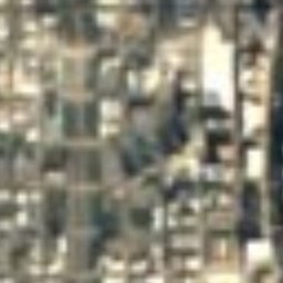
The island from above
0.6 km² · coastline as mapped in OpenStreetMapMap
Goose Island (Chicago) from above
Nature nearbyAll of the United States

Photo: TonyTheTiger at English Wikipedia · CC BY-SA 3.0 · Wikimedia CommonsReport this photo · linked, not stored


Photo: David Wilson from Oak Park, Illinois, USA · CC BY 2.0 · Wikimedia CommonsReport this photo · linked, not stored
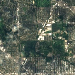
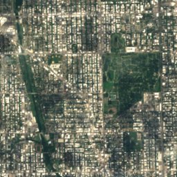
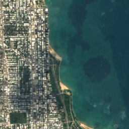

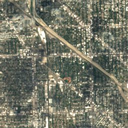
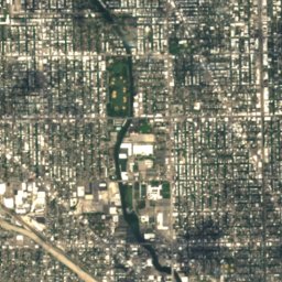
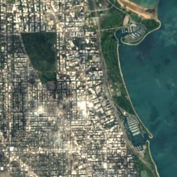

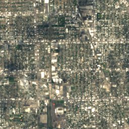
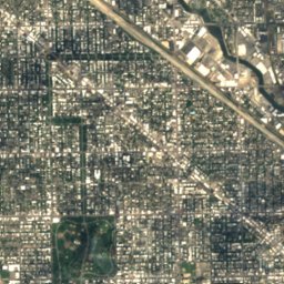
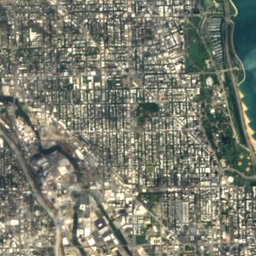

Satellite: Sentinel-2 cloudless 2016 by EOX IT Services GmbH · CC BY 4.0 · Contains modified Copernicus Sentinel data 2016
Satellite: Sentinel-2 cloudless 2016 by EOX IT Services GmbH · CC BY 4.0 · Contains modified Copernicus Sentinel data 2016
Satellite: Sentinel-2 cloudless 2016 by EOX IT Services GmbH · CC BY 4.0 · Contains modified Copernicus Sentinel data 2016
Stay nearby
Towns close by


Photo: Ken Lund from Reno, Nevada, USA · CC BY-SA 2.0 · Wikimedia CommonsReport this photo · linked, not stored
Lincolnwood
Illinois · 8.0 mi NW
62°Oct high
11wet days
66score
Around here
Chicago and around
Nature

Photo: JeffieAlex~commonswiki · Public domain · Wikimedia CommonsReport this photo · linked, not stored
Chicago River
River

Photo: David B. Gleason from Chicago, IL · CC BY-SA 2.0 · Wikimedia CommonsReport this photo · linked, not stored
Lake Calumet
Lake · 574 ft

Photo: Carol Arney, U.S. Army Corps of Engineers · Public domain · Wikimedia CommonsReport this photo · linked, not stored
Calumet River, Indiana
River · 574 ft
Heritage


Photo: TonyTheTiger at English Wikipedia · CC BY-SA 3.0 · Wikimedia CommonsReport this photo · linked, not stored
Ludington Building
National Register of Historic Places listed place · 1892
Museums




Satellite: Sentinel-2 cloudless 2016 by EOX IT Services GmbH · CC BY 4.0 · Contains modified Copernicus Sentinel data 2016
National Hellenic Museum
1983