
Photo: Carol Arney, U.S. Army Corps of Engineers · Public domain · Wikimedia Commons
Calumet River, IndianaReport this photo · linked, not stored
Calumet River, IndianaReport this photo · linked, not stored

Photo: Payton Chung from DCA, USA · CC BY 2.0 · Wikimedia Commons
Wolf Lake, IndianaReport this photo · linked, not stored
Wolf Lake, IndianaWolf Lake, IndianaReport this photo · linked, not stored
RiverWhiting, Indiana
Calumet River, Indiana
River574 ft elevationBest May–Jun · Sep
Elevation574 ftabove sea level
Length7.5 misource to mouth
Nearest townWhiting4.1 mi
41.73° N, 87.53° WElevation 574 ftUTC−5 · Central Daylight Time
When to goWhiting · weather score
Best timeMay–Jun · Sep
October: high / low62° / 47°
River
Calumet River, Indiana in brief
Calumet River, Indiana is a river in Whiting, Indiana, United States.
It lies at 574 ft above sea level.
The nearest town in the atlas is Whiting, 4.1 mi to the SE, where the weather is best in May, June and September.
Calumet River, Indiana is 7.5 mi long.
Weather nearby now
Forecast for Whiting58°
Sunny now
Today
22 Oct
66°
51°
Fri
23 Oct
66°
51°
Sat
24 Oct
67°
49°
Sun
25 Oct
69°
51°
Mon
26 Oct
62°
52°
Model run 00:00 UTCRefreshed several times a day
The course of the river
As mapped in OpenStreetMap, with the towns of the atlas along its banks.- 1Burnham584 ft
sourcemouth (or where the mapped line leaves the country)
When to go
Climate of WhitingThe best months around Calumet River, Indiana
Month score in Whiting
Comfort, dry days and sunshine · out of 10024
Jan
30
Feb
29
Mar
41
Apr
64
May
63
Jun
56
Jul
59
Aug
74
Sep
60
Oct
28
Nov
25
Dec
Map
Calumet River, Indiana from above
Nature nearbyAll of the United States
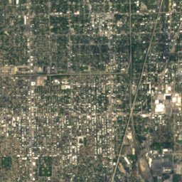
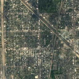
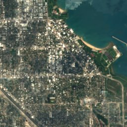
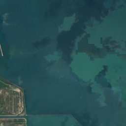

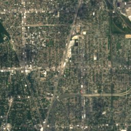
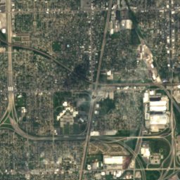
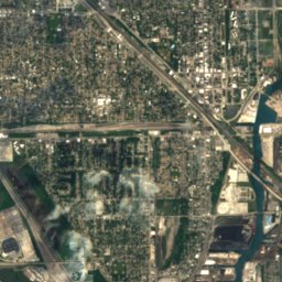
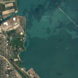
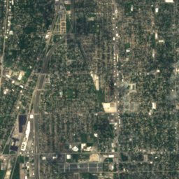
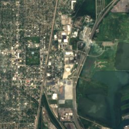
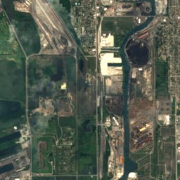
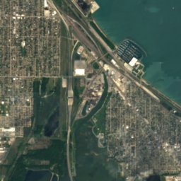
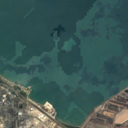
Satellite: Sentinel-2 cloudless 2016 by EOX IT Services GmbH · CC BY 4.0 · Contains modified Copernicus Sentinel data 2016
Satellite: Sentinel-2 cloudless 2016 by EOX IT Services GmbH · CC BY 4.0 · Contains modified Copernicus Sentinel data 2016
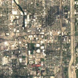
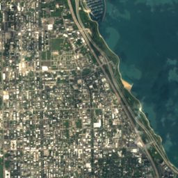
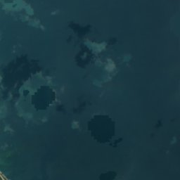


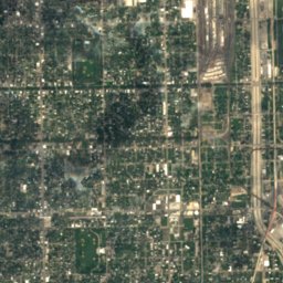
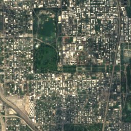
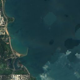
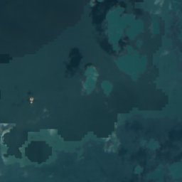

Satellite: Sentinel-2 cloudless 2016 by EOX IT Services GmbH · CC BY 4.0 · Contains modified Copernicus Sentinel data 2016
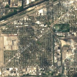
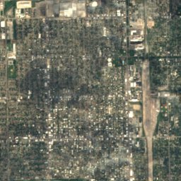
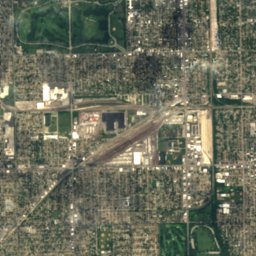
Satellite: Sentinel-2 cloudless 2016 by EOX IT Services GmbH · CC BY 4.0 · Contains modified Copernicus Sentinel data 2016
Satellite: Sentinel-2 cloudless 2016 by EOX IT Services GmbH · CC BY 4.0 · Contains modified Copernicus Sentinel data 2016

Photo: Payton Chung from DCA, USA · CC BY 2.0 · Wikimedia CommonsReport this photo · linked, not stored
Stay nearby
Towns close by

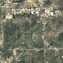
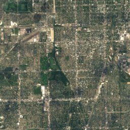
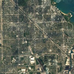
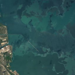

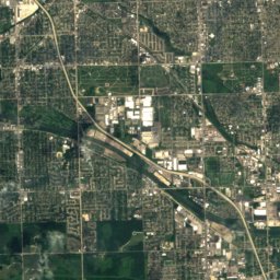
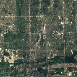
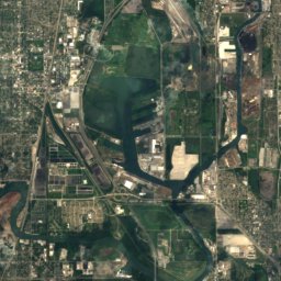
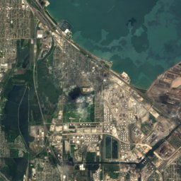
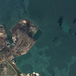
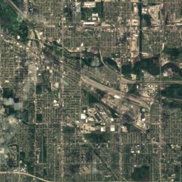
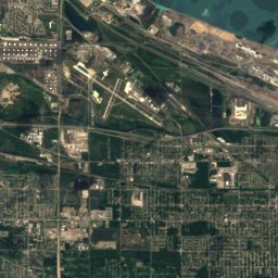
Satellite: Sentinel-2 cloudless 2016 by EOX IT Services GmbH · CC BY 4.0 · Contains modified Copernicus Sentinel data 2016
Burnham
Illinois · 6.6 mi S
62°Oct high
11wet days
66score

Photo: U.S. Army Corps of Engineers, Chicago District · Public domain · Wikimedia CommonsReport this photo · linked, not stored
East Chicago
Indiana · 7.5 mi SE
62°Oct high
12wet days
62score

Photo: Ken Lund from Reno, Nevada, USA · CC BY-SA 2.0 · Wikimedia CommonsReport this photo · linked, not stored
Dolton
Illinois · 7.6 mi SW
63°Oct high
11wet days
67score
Around here
Whiting and around
Nature

Photo: David B. Gleason from Chicago, IL · CC BY-SA 2.0 · Wikimedia CommonsReport this photo · linked, not stored
Lake Calumet
Lake · 574 ft
Photo: Payton Chung from DCA, USA · CC BY 2.0 · Wikimedia CommonsReport this photo · linked, not stored
Wolf Lake, Indiana
Lake · 568 ft

Heritage

Whiting Memorial Community House
National Register of Historic Places listed place

Satellite: Sentinel-2 cloudless 2016 by EOX IT Services GmbH · CC BY 4.0 · Contains modified Copernicus Sentinel data 2016
Henry and Caroline Schrage House
National Register of Historic Places listed place · 1897
Museums


Photo: zooey from Chicago, Illinois USA · CC BY 2.0 · Wikimedia CommonsReport this photo · linked, not stored
Kenneth C. Griffin Museum of Science and Industry
1933


