
Photo: OptimumPx · Public domain · Wikimedia Commons
Coney Island, New YorkReport this photo · linked, not stored
Coney Island, New YorkReport this photo · linked, not stored

Photo: Dan DeLuca · CC BY 2.0 · Wikimedia Commons
Hudson River, New YorkReport this photo · linked, not stored
Hudson River, New YorkHudson River, New YorkReport this photo · linked, not stored

Photo: Richard Arthur Norton (1958- ) at English Wikipedia · CC BY 2.5 · Wikimedia Commons
Swinburne IslandReport this photo · linked, not stored
Swinburne IslandSwinburne IslandReport this photo · linked, not stored

Photo: Tdorante10 · CC BY-SA 4.0 · Wikimedia Commons
White Island, New YorkReport this photo · linked, not stored
White Island, New YorkWhite Island, New YorkReport this photo · linked, not stored

Photo: Lithium6ion · Public domain · Wikimedia Commons
Navesink HighlandsReport this photo · linked, not stored
Navesink HighlandsNavesink HighlandsReport this photo · linked, not stored
BeachBrooklyn, New York
Coney Island, New York
BeachBest May · Sep–Oct
Elevation–above sea level
Sea, warmest74°FAugust
Nearest townBrooklyn5.5 mi
40.58° N, 73.98° WUTC−4 · Eastern Daylight Time
When to goBrooklyn · weather score
Best timeMay · Sep–Oct
October: high / low65° / 50°
Beach
Coney Island, New York in brief
Coney Island, New York is a beach in Brooklyn, New York, United States.
It covers about 1.8 km².
The nearest town in the atlas is Brooklyn, 5.5 mi to the N, where the weather is best in May, September and October.
The sea is warmest in August, at about 74°F.
Weather nearby now
Forecast for Brooklyn56°
Sunny now
Today
22 Oct
66°
46°
Fri
23 Oct
58°
43°
Sat
24 Oct
60°
39°
Sun
25 Oct
64°
40°
Mon
26 Oct
69°
44°
Model run 00:00 UTCRefreshed several times a day
Sea and air through the year
Sea surface temperature off the coast and the average daily high in Brooklyn, month by month.Jan43°40°
Feb40°42°
Mar41°49°
Apr46°61°
May55°71°
Jun65°80°
Jul72°85°
Aug74°83°
Sep71°77°
Oct63°65°
Nov55°55°
Dec48°45°
seaair, daily high
Map
Coney Island, New York from above
Nature nearbyAll of the United States
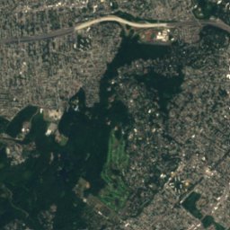
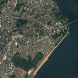
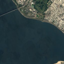
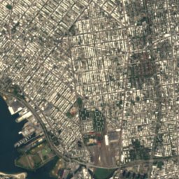
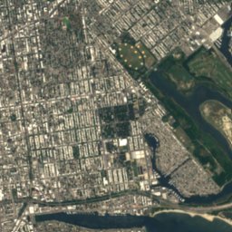
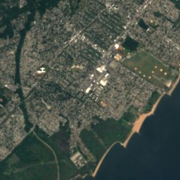
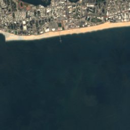
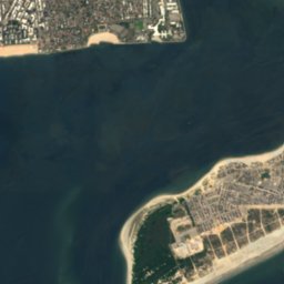
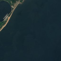




Satellite: Sentinel-2 cloudless 2016 by EOX IT Services GmbH · CC BY 4.0 · Contains modified Copernicus Sentinel data 2016
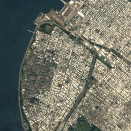
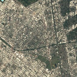
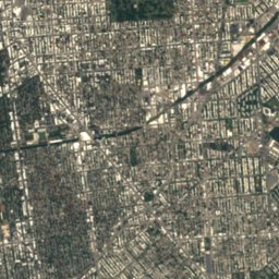
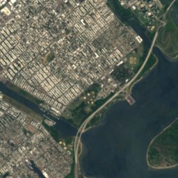
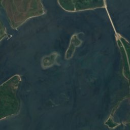

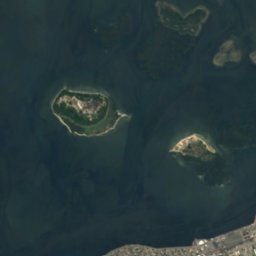
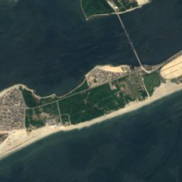
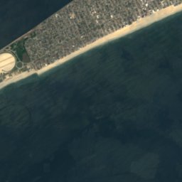
Satellite: Sentinel-2 cloudless 2016 by EOX IT Services GmbH · CC BY 4.0 · Contains modified Copernicus Sentinel data 2016

Satellite: Sentinel-2 cloudless 2016 by EOX IT Services GmbH · CC BY 4.0 · Contains modified Copernicus Sentinel data 2016

Photo: Richard Arthur Norton (1958- ) at English Wikipedia · CC BY 2.5 · Wikimedia CommonsReport this photo · linked, not stored

Summits nearbyMountains of the United States
Stay nearby
Towns close by

Photo: Newyork10r at English Wikipedia · Public domain · Wikimedia CommonsReport this photo · linked, not stored
Brooklyn
New York · 5.5 mi N
65°Oct high
10wet days
76score

Photo: Wikijazz at en.wikipedia · Public domain · Wikimedia CommonsReport this photo · linked, not stored
Fort Hancock
New Jersey · 7.7 mi S
65°Oct high
10wet days
77score

Photo: U.S. Navy photo by Mass Communication Specialist 3rd Class Jonathan Snyder · Public domain · Wikimedia CommonsReport this photo · linked, not stored
Staten Island
New York · 8.3 mi W
66°Oct high
10wet days
76score

Around here
Brooklyn and around
Photo: Newyork10r at English Wikipedia · Public domain · Wikimedia CommonsReport this photo · linked, not stored
Brooklyn
New York · United States
May · Sep–Octbest months
85°July high
49 ftaltitude
Nature

Photo: Archibald Robertson · Public domain · Wikimedia CommonsReport this photo · linked, not stored
Collect Pond
Lake · 79 ft

Mountains
Heritage


Flatbush Town Hall
National Register of Historic Places listed place · 1875

Ocean Parkway Jewish Center
National Register of Historic Places listed place · 1924


