
Photo: Lithium6ion · Public domain · Wikimedia Commons
Navesink HighlandsReport this photo · linked, not stored
Navesink HighlandsReport this photo · linked, not stored
New Jersey · United StatesSummit weather, forecast and climate
Navesink Highlands
391 ftSnow likely Jan
Elevation391 ftabove sea level
Prominence–independent height
Isolation36 mito a higher summit
Summit, Jul83°average high
40.40° N, 74.04° WElevation 391 ftUTC−4 · Eastern Daylight Time
From the valley to the top
- Summit391 ft
- Mid-mountain197 ft
- Valley0 ft
Freezing level in October: above the summit
iThe mountain
Navesink Highlands in brief
Navesink Highlands rises to 391 ft, New Jersey, United States.
At the summit, July is the mildest month with average highs of 83°, while nights fall below freezing in 3 months of the year.
The nearest town in the atlas is Atlantic Highlands, 0.6 mi to the N at 36 ft.
Facts
- Elevation
- 391 ft
- Region
- New Jersey
- Country
- United States
- Coordinates
- 40.3996, -74.0365
- Nearest airport
- Newark Liberty International Airport (EWR) · 21 mi
iiForecast
Weather at three heights
Temperatures are adjusted to each height; summits are usually colder and windier than the valley forecast suggests.
Loading the latest forecast…
Loading the latest forecast…
Loading the latest forecast…
iiiSummit climate
The top of Navesink Highlands by month
Summit temperatures and precipitation
Climate normals for the summit area (~1 km grid), station-adjusted| Month | Jan | Feb | Mar | Apr | May | Jun | Jul | Aug | Sep | Oct | Nov | Dec |
|---|---|---|---|---|---|---|---|---|---|---|---|---|
| Average high | 41° | 43° | 49° | 60° | 69° | 78° | 83° | 82° | 76° | 65° | 55° | 46° |
| Average low | 26° | 28° | 34° | 43° | 52° | 62° | 68° | 67° | 60° | 49° | 39° | 32° |
| Precipitation | 3.6 in | 3.0 in | 4.4 in | 4.3 in | 4.1 in | 4.1 in | 4.8 in | 4.4 in | 3.9 in | 4.1 in | 3.9 in | 4.1 in |
| Cloud cover | 40% | 40% | 40% | 39% | 38% | 35% | 31% | 31% | 33% | 32% | 37% | 40% |
| Daylight | 9h 36 | 10h 41 | 11h 54 | 13h 17 | 14h 25 | 15h 02 | 14h 47 | 13h 48 | 12h 29 | 11h 10 | 9h 57 | 9h 18 |
| Month score | 29 | 33 | 23 | 52 | 68 | 67 | 51 | 57 | 72 | 71 | 43 | 25 |
Snow and freezing level
Average height of the 0 °C level from the summit normals (6.5 °C per km); snow months have a summit mean at or below +1 °C| Month | Jan | Feb | Mar | Apr | May | Jun | Jul | Aug | Sep | Oct | Nov | Dec |
|---|---|---|---|---|---|---|---|---|---|---|---|---|
| Freezing level | 820 ft | 1,312 ft | 2,953 ft | 5,741 ft | 8,366 ft | 10,991 ft | 12,631 ft | 12,303 ft | 10,499 ft | 7,382 ft | 4,593 ft | 2,297 ft |
| Summit | ❄ snow | above 0 °C | above 0 °C | above 0 °C | above 0 °C | above 0 °C | above 0 °C | above 0 °C | above 0 °C | above 0 °C | above 0 °C | above 0 °C |
ivTerrain
Navesink Highlands in 3D
vNeighbours
Mountains of the United StatesPeaks nearby
| Mountain | Elevation | Prominence | Distance | July summit high |
|---|---|---|---|---|
| Hominy Hills | 307 ft | – | 9.6 mi SW | 85° |
viBase towns
Where to stay nearby

Photo: JERRYE & ROY KLOTZ M.D. · CC BY-SA 4.0 · Wikimedia CommonsReport this photo · linked, not stored
Atlantic Highlands
New Jersey · 0.6 mi N
65°Oct high
10wet days
77score

Photo: Mr. Matté (if there is an issue with this image, contact me using this image's C · CC BY 3.0 · Wikimedia CommonsReport this photo · linked, not stored
Stone Church
New Jersey · 0.9 mi E
66°Oct high
10wet days
77score

Photo: Mr. Matté (if there is an issue with this image, contact me using this image's C · CC BY 3.0 · Wikimedia CommonsReport this photo · linked, not stored
Chapel Hill
New Jersey · 1.8 mi W
65°Oct high
10wet days
77score

Photo: Mr. Matté (if there is an issue with this image, contact me using this image's C · CC BY 4.0 · Wikimedia CommonsReport this photo · linked, not stored
Oceanic
New Jersey · 2.0 mi SE
66°Oct high
10wet days
77score
Around here
Atlantic Highlands and around
Photo: JERRYE & ROY KLOTZ M.D. · CC BY-SA 4.0 · Wikimedia CommonsReport this photo · linked, not stored
Atlantic Highlands
New Jersey · United States
May · Sep–Octbest months
83°July high
36 ftaltitude
Nature

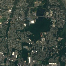
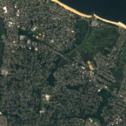
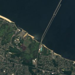
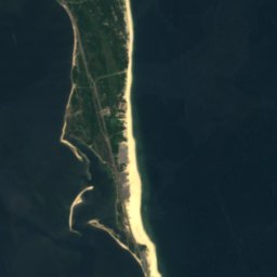
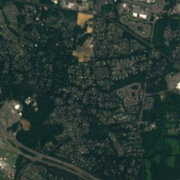
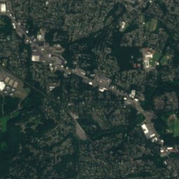
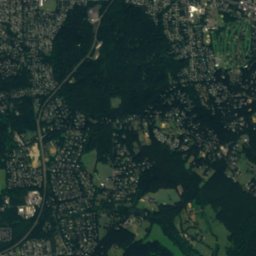
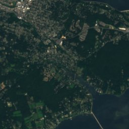
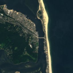
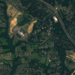
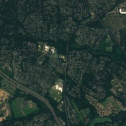
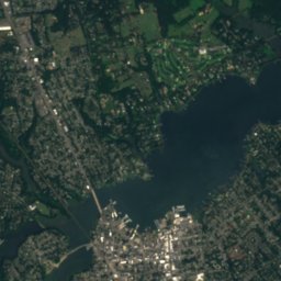
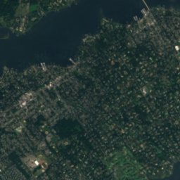
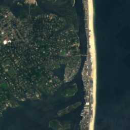
Satellite: Sentinel-2 cloudless 2016 by EOX IT Services GmbH · CC BY 4.0 · Contains modified Copernicus Sentinel data 2016
Navesink River
River
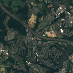
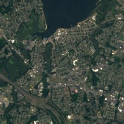
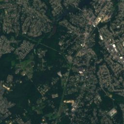
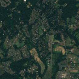
Satellite: Sentinel-2 cloudless 2016 by EOX IT Services GmbH · CC BY 4.0 · Contains modified Copernicus Sentinel data 2016
Mahoras Brook
River
Mountains
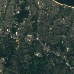
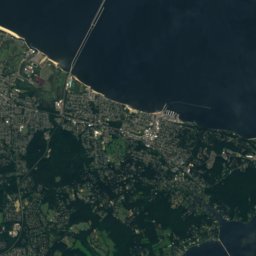
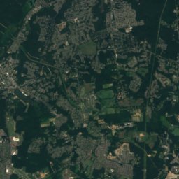
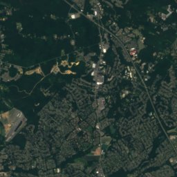
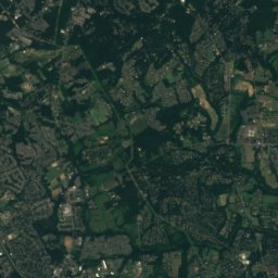
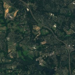
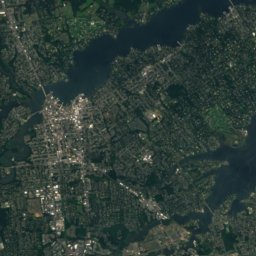
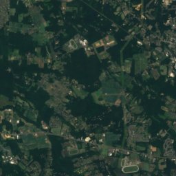
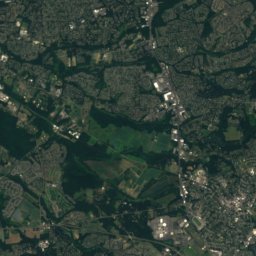
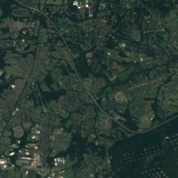
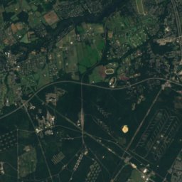
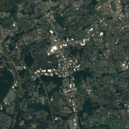
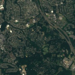
Satellite: Sentinel-2 cloudless 2016 by EOX IT Services GmbH · CC BY 4.0 · Contains modified Copernicus Sentinel data 2016
Hominy Hills
307 ft
Heritage

All Saint's Memorial Church
National Register of Historic Places listed place

Photo: JERRYE & ROY KLOTZ, M.D. · CC BY-SA 4.0 · Wikimedia CommonsReport this photo · linked, not stored
MacLeod-Rice House
National Register of Historic Places listed place · 1894

Dempsey Pump House
National Register of Historic Places listed place · 1926
Museums


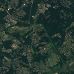
Bruce Springsteen Center for American Music
Music museum






Satellite: Sentinel-2 cloudless 2016 by EOX IT Services GmbH · CC BY 4.0 · Contains modified Copernicus Sentinel data 2016