Nature
Waters, ice and wild places of Syria
Lakes, waterfalls, glaciers, national parks and mountain huts, each with its location, its size and the weather of the towns around it.
Lakes9with a page
National parks1with a page
Islands2with a page
Caves3with a page

Photo: Contains modified Copernicus Sentinel data 2022 · Attribution · Wikimedia CommonsReport this photo · linked, not stored
Lakes
Lakes of Syria

Photo: Contains modified Copernicus Sentinel data 2022 · Attribution · Wikimedia CommonsReport this photo · linked, not stored
Sabkhat al-Jabbul
Dayr Hafir, Aleppo
100 km²

Photo: Earth Science and Remote Sensing Unit, Lyndon B. Johnson Space Center · Public domain · Wikimedia CommonsReport this photo · linked, not stored
Tishrin Reservoir
Jarabulus, Aleppo
157 km²
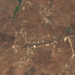
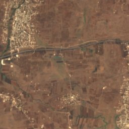
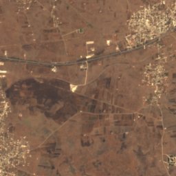
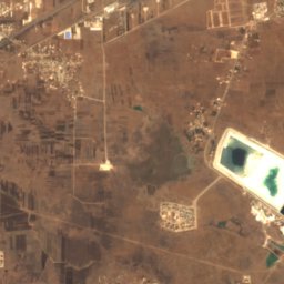
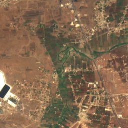
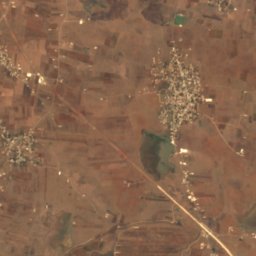
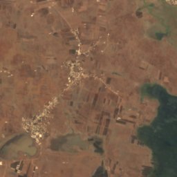
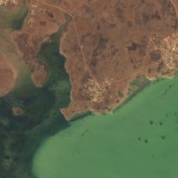
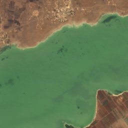
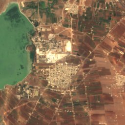
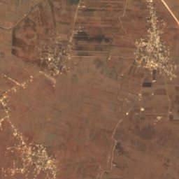
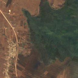
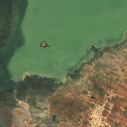
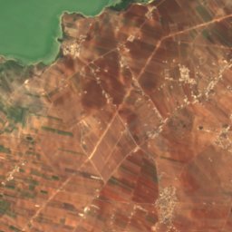
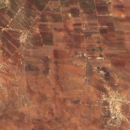
Satellite: Sentinel-2 cloudless 2016 by EOX IT Services GmbH · CC BY 4.0 · Contains modified Copernicus Sentinel data 2016
Lake Homs
Homs, Homs
28 km²
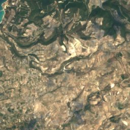
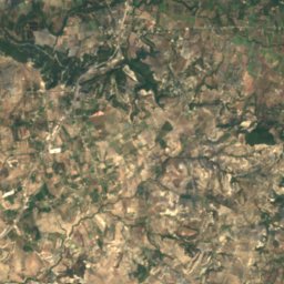
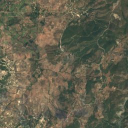
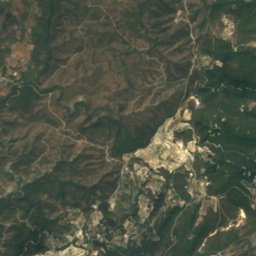
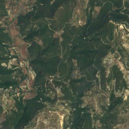
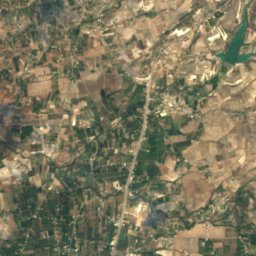
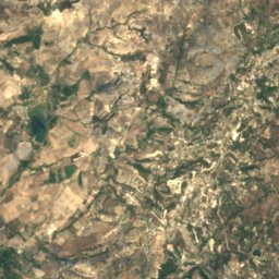
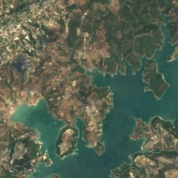
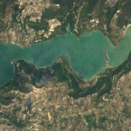
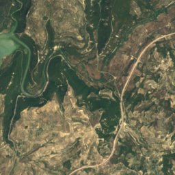
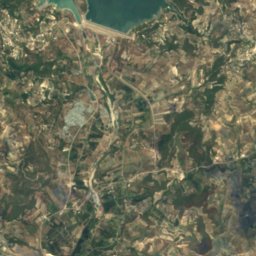
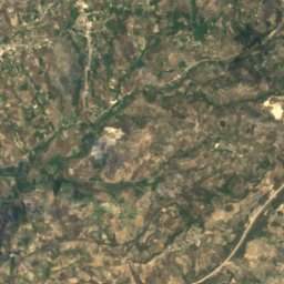
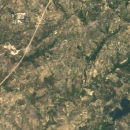
Satellite: Sentinel-2 cloudless 2016 by EOX IT Services GmbH · CC BY 4.0 · Contains modified Copernicus Sentinel data 2016
Buḩayrat Sittat ‘Ashar Tishrīn
Burj Islam, Latakia
7.1 km²
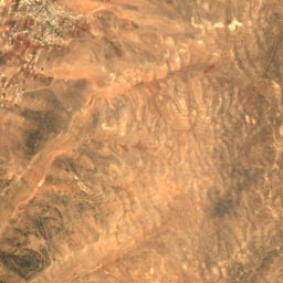
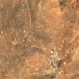
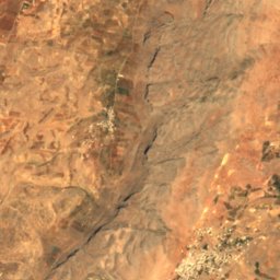
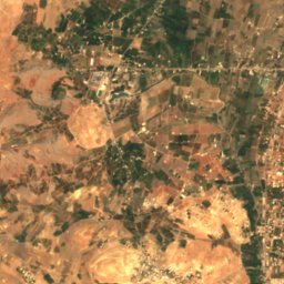
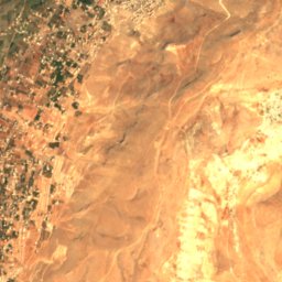
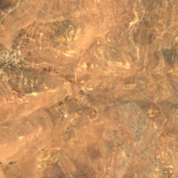
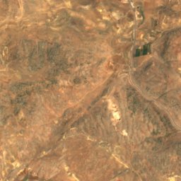
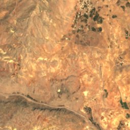
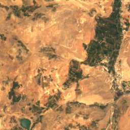
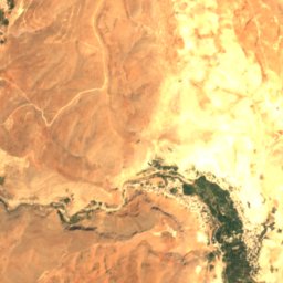
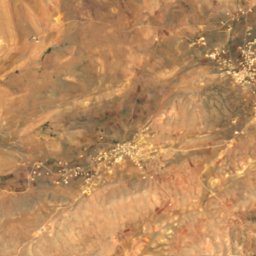
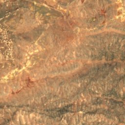
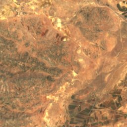
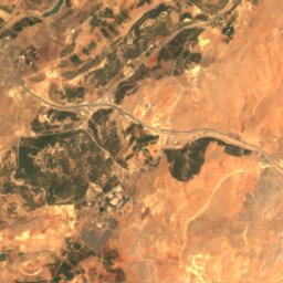
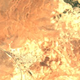
Satellite: Sentinel-2 cloudless 2016 by EOX IT Services GmbH · CC BY 4.0 · Contains modified Copernicus Sentinel data 2016
Zarzar Lake
Judaydat Yabus, Rif-dimashq
0.1 km²
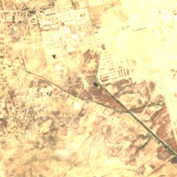
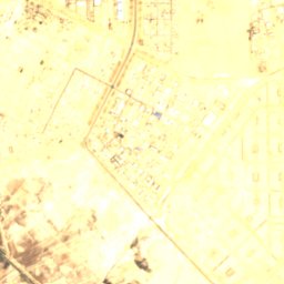
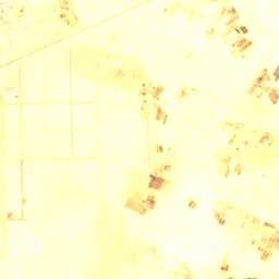
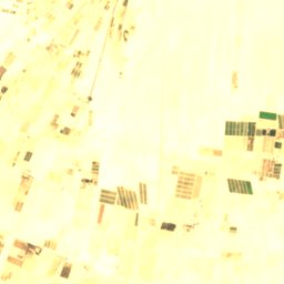
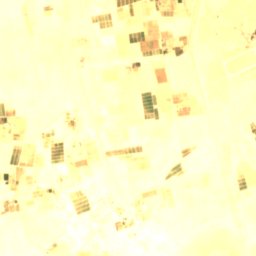
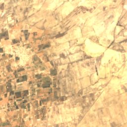
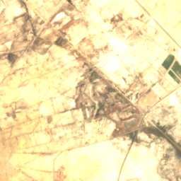
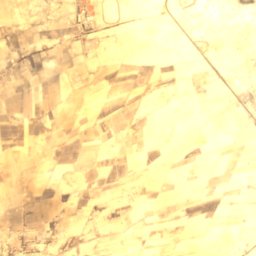
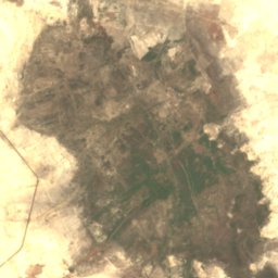
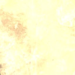

Satellite: Sentinel-2 cloudless 2016 by EOX IT Services GmbH · CC BY 4.0 · Contains modified Copernicus Sentinel data 2016
Otaybah Lake
Dayr al ‘Aşāfīr, Rif-dimashq
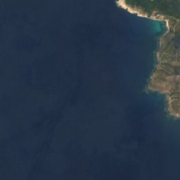
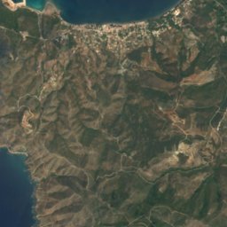
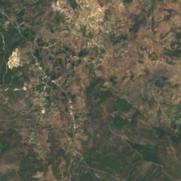
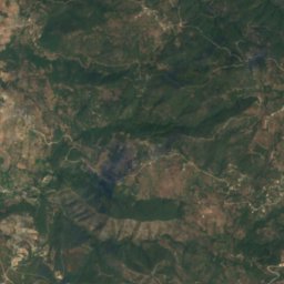
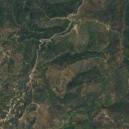

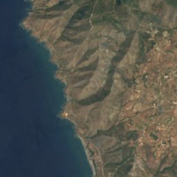
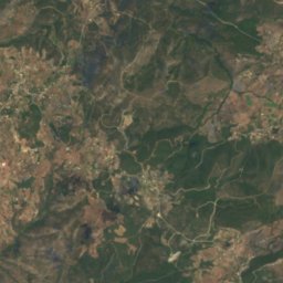
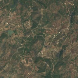
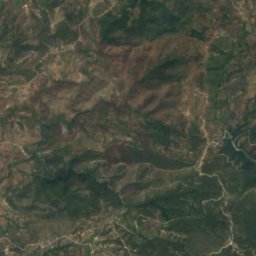

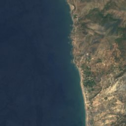
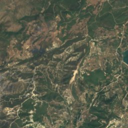
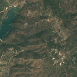
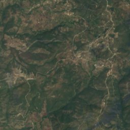
Satellite: Sentinel-2 cloudless 2016 by EOX IT Services GmbH · CC BY 4.0 · Contains modified Copernicus Sentinel data 2016
Baloran Lake
Burj Islam, Latakia
0.9 km²
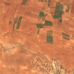
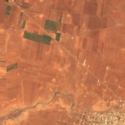
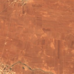
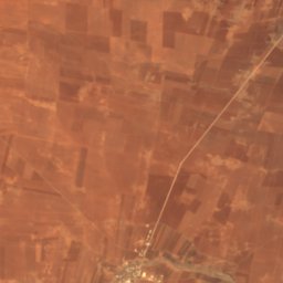
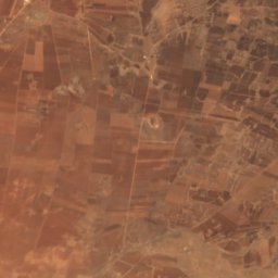
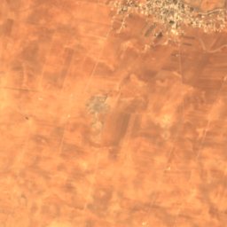
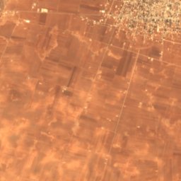
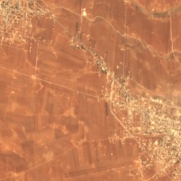
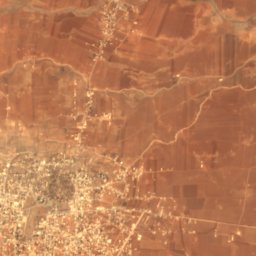
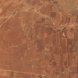
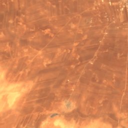
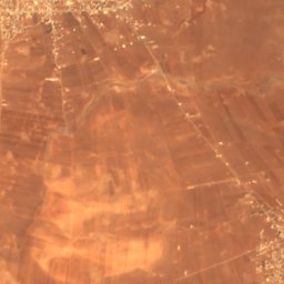
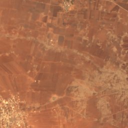
Satellite: Sentinel-2 cloudless 2016 by EOX IT Services GmbH · CC BY 4.0 · Contains modified Copernicus Sentinel data 2016
Birkat al-Ḥājj
Bosra, Daraa
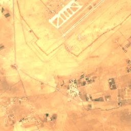
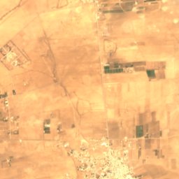
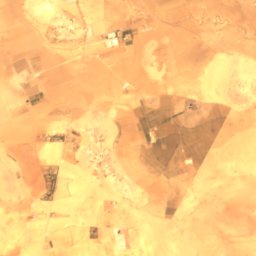
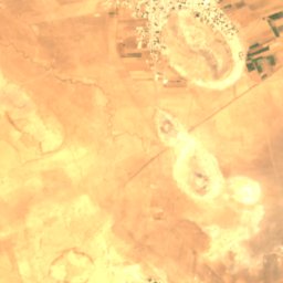
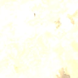
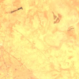
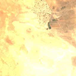
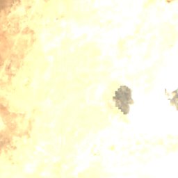
Satellite: Sentinel-2 cloudless 2016 by EOX IT Services GmbH · CC BY 4.0 · Contains modified Copernicus Sentinel data 2016
Hijaneh Lake
Dayr al ‘Aşāfīr, Rif-dimashq
National parks
National parks of Syria

Islands
Islands of Syria




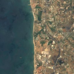
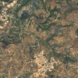



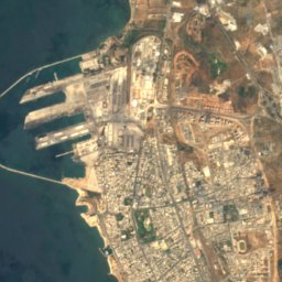
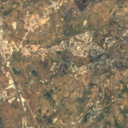


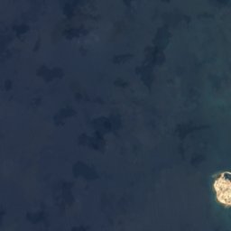
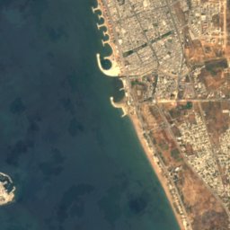
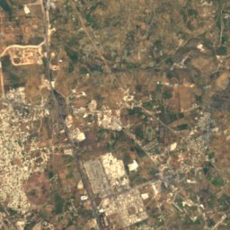
Satellite: Sentinel-2 cloudless 2016 by EOX IT Services GmbH · CC BY 4.0 · Contains modified Copernicus Sentinel data 2016
Banc Charner
Arwad, Tartus
Caves
Caves of Syria
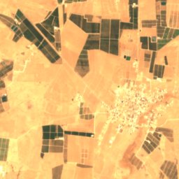
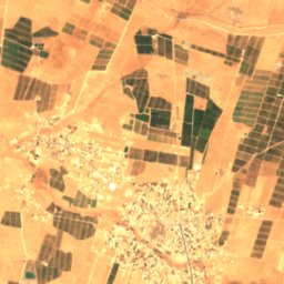
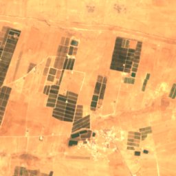
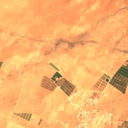
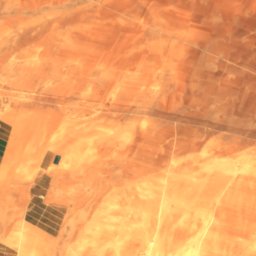
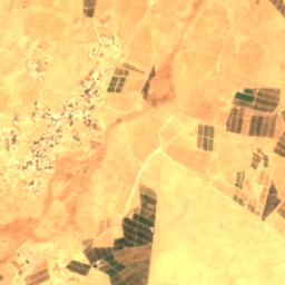
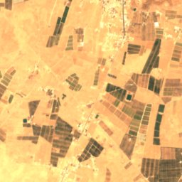
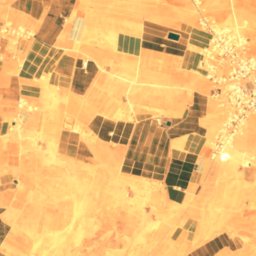
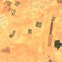
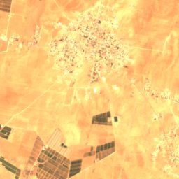
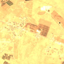
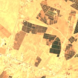
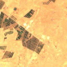
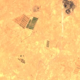
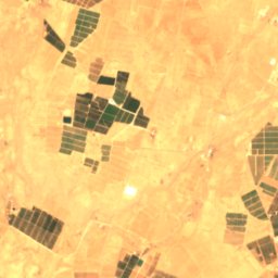
Satellite: Sentinel-2 cloudless 2016 by EOX IT Services GmbH · CC BY 4.0 · Contains modified Copernicus Sentinel data 2016
Al Haya Cave
Şamād, Daraa
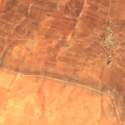
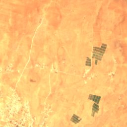
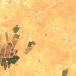
Satellite: Sentinel-2 cloudless 2016 by EOX IT Services GmbH · CC BY 4.0 · Contains modified Copernicus Sentinel data 2016
Azzam Cave
Şamād, Daraa
Satellite: Sentinel-2 cloudless 2016 by EOX IT Services GmbH · CC BY 4.0 · Contains modified Copernicus Sentinel data 2016
Dahdal Cave
Şamād, Daraa
Rivers
Rivers of Syria


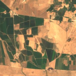
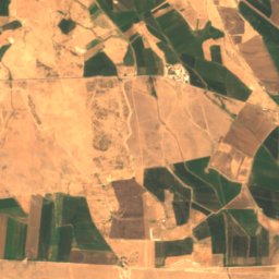
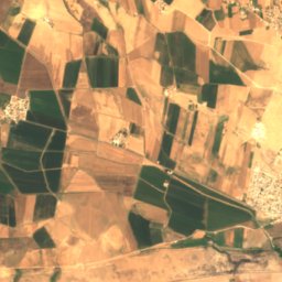
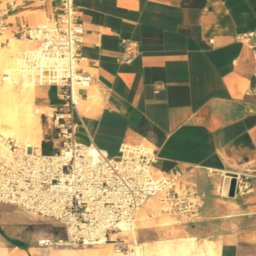
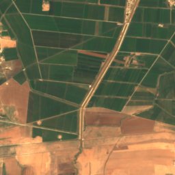
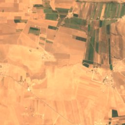
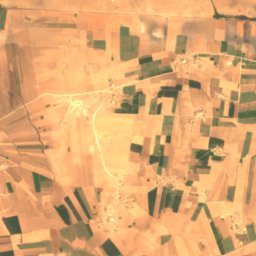
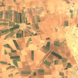
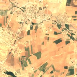
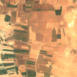
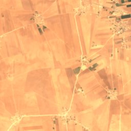
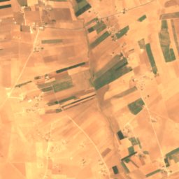
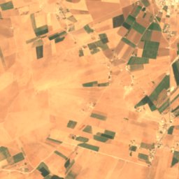
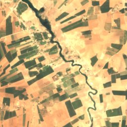
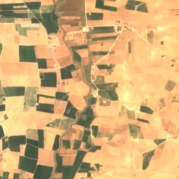
Satellite: Sentinel-2 cloudless 2016 by EOX IT Services GmbH · CC BY 4.0 · Contains modified Copernicus Sentinel data 2016
Balikh River
Tell Abyad, Raqqa
350 m
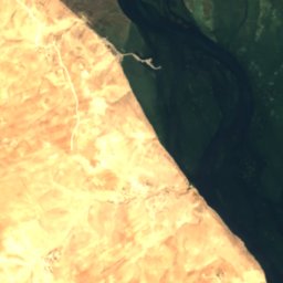
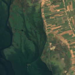
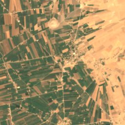
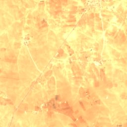
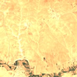
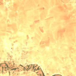
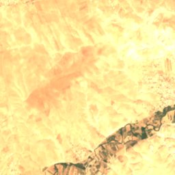
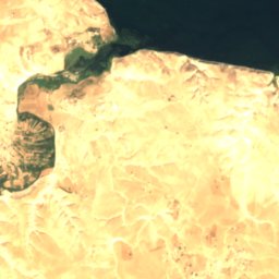
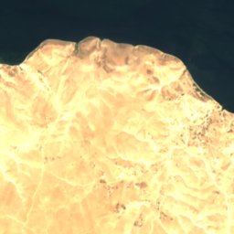
Satellite: Sentinel-2 cloudless 2016 by EOX IT Services GmbH · CC BY 4.0 · Contains modified Copernicus Sentinel data 2016
Sayur Brook
Jarabulus, Aleppo
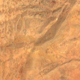
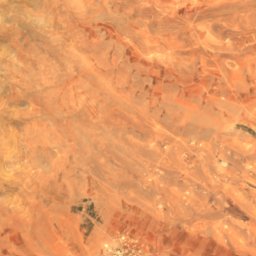
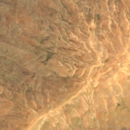
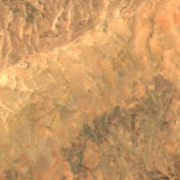
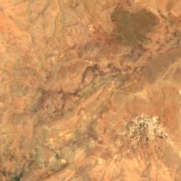
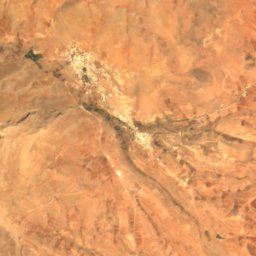
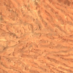
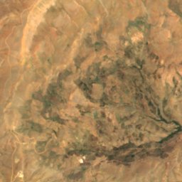
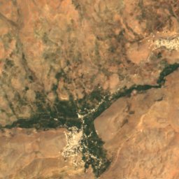
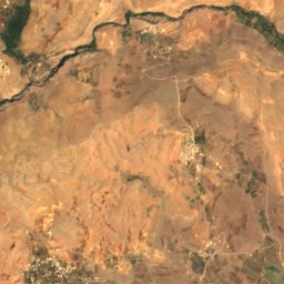
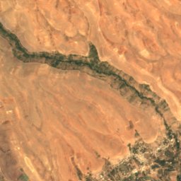
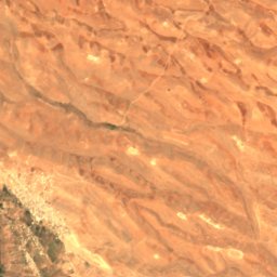
Satellite: Sentinel-2 cloudless 2016 by EOX IT Services GmbH · CC BY 4.0 · Contains modified Copernicus Sentinel data 2016
Pharpar
Qatana, Rif-dimashq
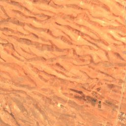
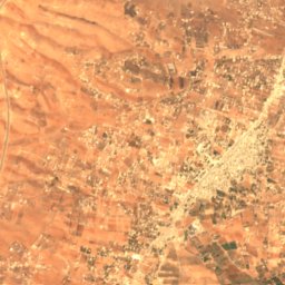
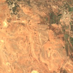
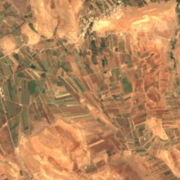
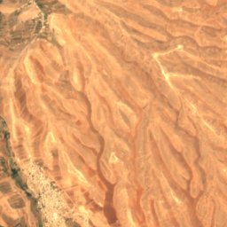
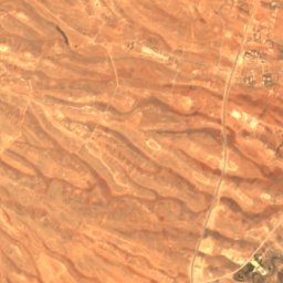
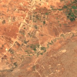
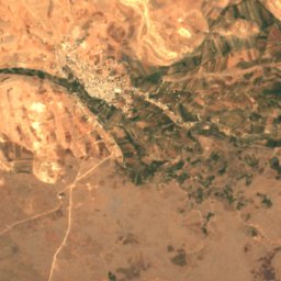
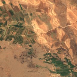
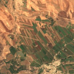
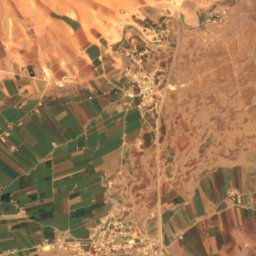
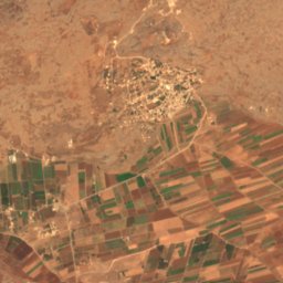
Satellite: Sentinel-2 cloudless 2016 by EOX IT Services GmbH · CC BY 4.0 · Contains modified Copernicus Sentinel data 2016
Awaj
Kanakir, Rif-dimashq
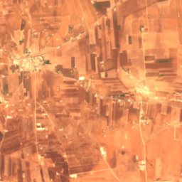
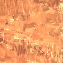
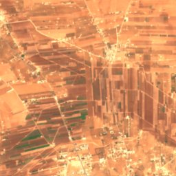
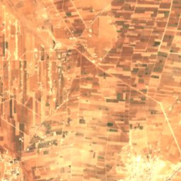
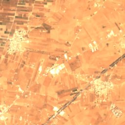
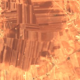
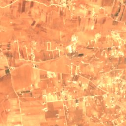
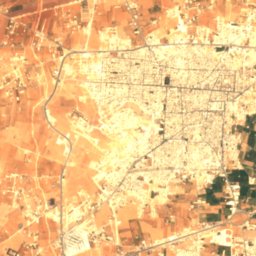
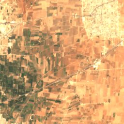
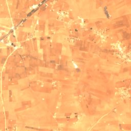
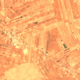
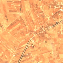
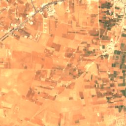
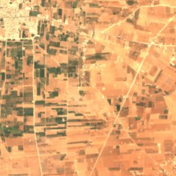
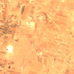


Satellite: Sentinel-2 cloudless 2016 by EOX IT Services GmbH · CC BY 4.0 · Contains modified Copernicus Sentinel data 2016
Dhahab River
al-Bab, Aleppo