ธรรมชาติ
แหล่งน้ำ ธารน้ำแข็ง และธรรมชาติอันกว้างใหญ่ของซีเรีย
ทะเลสาบ น้ำตก ธารน้ำแข็ง อุทยานแห่งชาติ และที่พักบนภูเขา แต่ละแห่งพร้อมที่ตั้ง ขนาด และสภาพอากาศโดยรอบ
ทะเลสาบ9แต่ละแห่งมีหน้าของตัวเอง
อุทยานแห่งชาติ1แต่ละแห่งมีหน้าของตัวเอง
เกาะ2แต่ละแห่งมีหน้าของตัวเอง
ถ้ำ3แต่ละแห่งมีหน้าของตัวเอง

ภาพ: Contains modified Copernicus Sentinel data 2022 · Attribution · Wikimedia Commonsแจ้งเกี่ยวกับภาพนี้ · ลิงก์ไปยังต้นทาง ไม่จัดเก็บ
ทะเลสาบ
ทะเลสาบในซีเรีย

ภาพ: Contains modified Copernicus Sentinel data 2022 · Attribution · Wikimedia Commonsแจ้งเกี่ยวกับภาพนี้ · ลิงก์ไปยังต้นทาง ไม่จัดเก็บ
Sabkhat al-Jabbul
Dayr Hafir, เขตผู้ว่าการอะเลปโป
100 km²

ภาพ: Earth Science and Remote Sensing Unit, Lyndon B. Johnson Space Center · Public domain · Wikimedia Commonsแจ้งเกี่ยวกับภาพนี้ · ลิงก์ไปยังต้นทาง ไม่จัดเก็บ
Tishrin Reservoir
Jarabulus, เขตผู้ว่าการอะเลปโป
157 km²
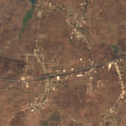
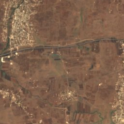
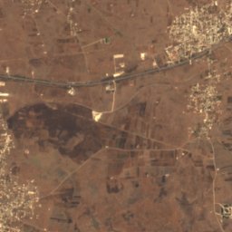
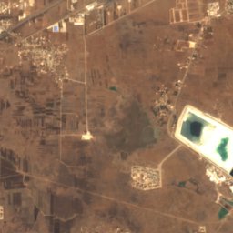
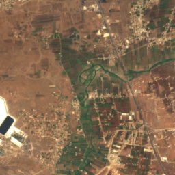
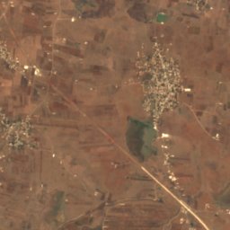
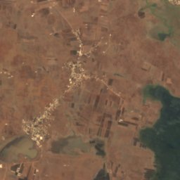
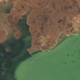
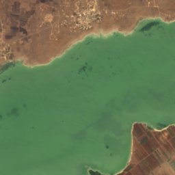
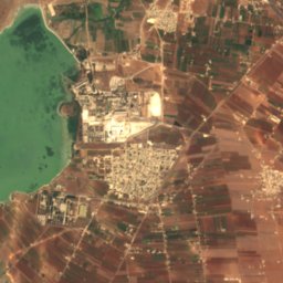
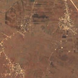
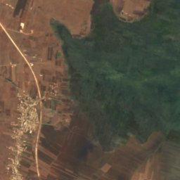
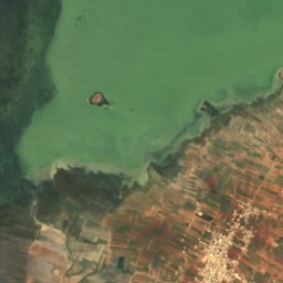
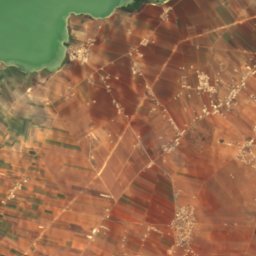
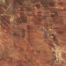
ดาวเทียม: Sentinel-2 cloudless 2016 โดย EOX IT Services GmbH · CC BY 4.0 · มีข้อมูล Copernicus Sentinel (2016) ที่ดัดแปลงแล้ว
Lake Homs
ฮอมส์, เขตผู้ว่าการฮอมส์
28 km²
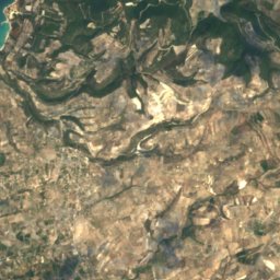
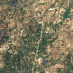
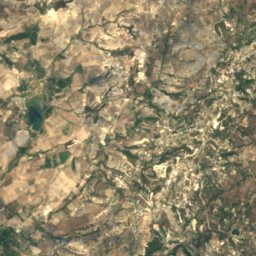
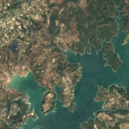
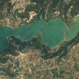
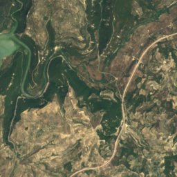
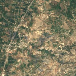
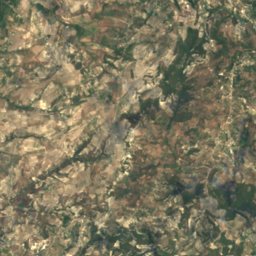
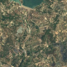
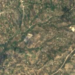
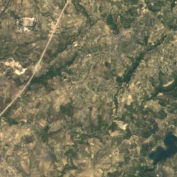
ดาวเทียม: Sentinel-2 cloudless 2016 โดย EOX IT Services GmbH · CC BY 4.0 · มีข้อมูล Copernicus Sentinel (2016) ที่ดัดแปลงแล้ว
Buḩayrat Sittat ‘Ashar Tishrīn
Burj Islam, เขตผู้ว่าการอัลลาษิกียะฮ์
7.1 km²
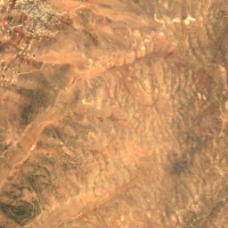
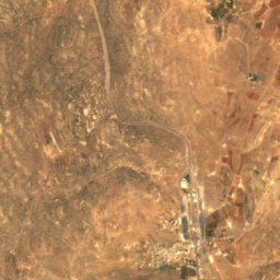
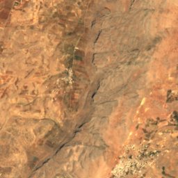
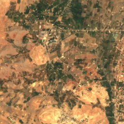
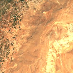
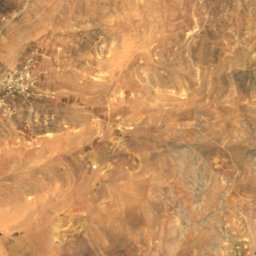
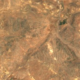
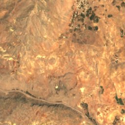
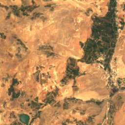
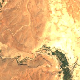
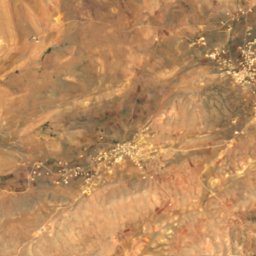
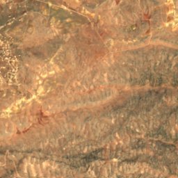
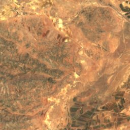
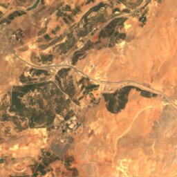
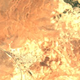
ดาวเทียม: Sentinel-2 cloudless 2016 โดย EOX IT Services GmbH · CC BY 4.0 · มีข้อมูล Copernicus Sentinel (2016) ที่ดัดแปลงแล้ว
Zarzar Lake
Judaydat Yabus, เขตผู้ว่าการรีฟดิมัชก์
0.1 km²
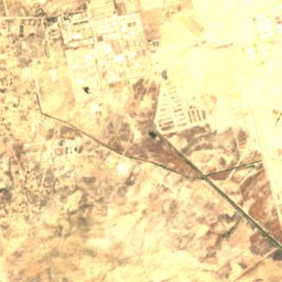
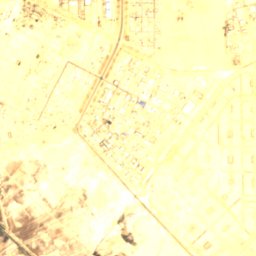
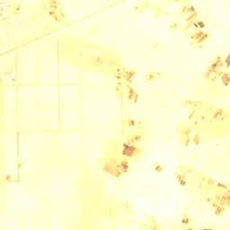
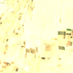
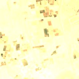
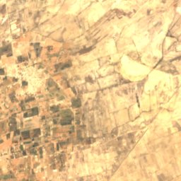
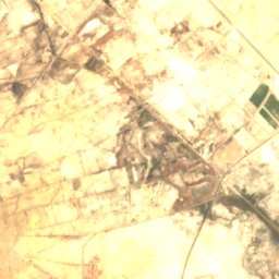
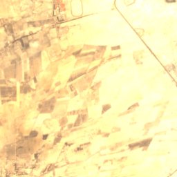
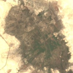
ดาวเทียม: Sentinel-2 cloudless 2016 โดย EOX IT Services GmbH · CC BY 4.0 · มีข้อมูล Copernicus Sentinel (2016) ที่ดัดแปลงแล้ว
Otaybah Lake
Dayr al ‘Aşāfīr, เขตผู้ว่าการรีฟดิมัชก์
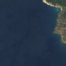
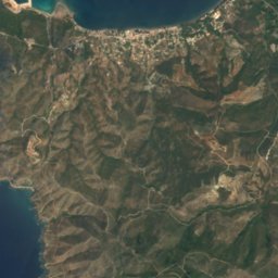
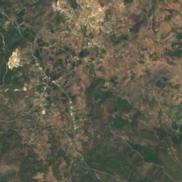
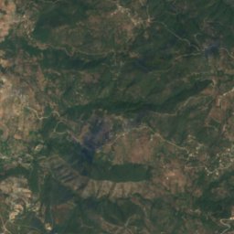
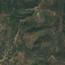

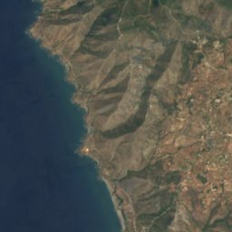
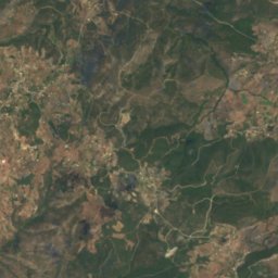
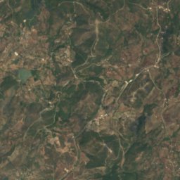
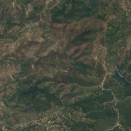

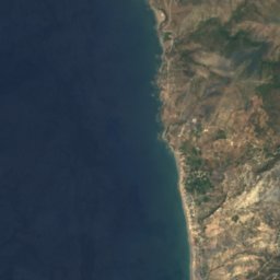
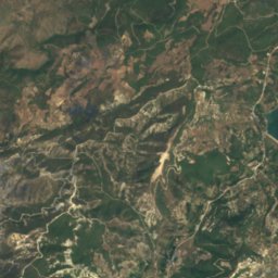
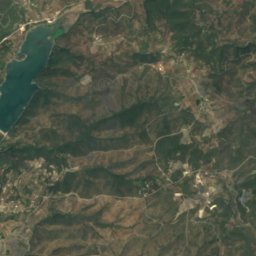
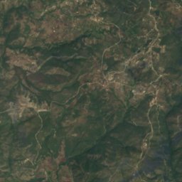
ดาวเทียม: Sentinel-2 cloudless 2016 โดย EOX IT Services GmbH · CC BY 4.0 · มีข้อมูล Copernicus Sentinel (2016) ที่ดัดแปลงแล้ว
Baloran Lake
Burj Islam, เขตผู้ว่าการอัลลาษิกียะฮ์
0.9 km²
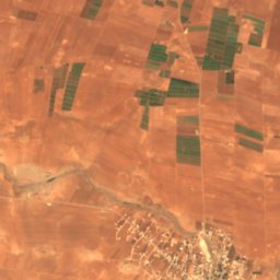
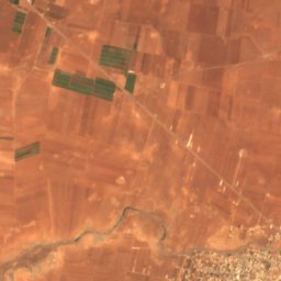
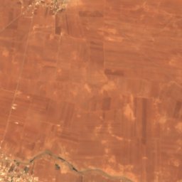
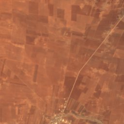
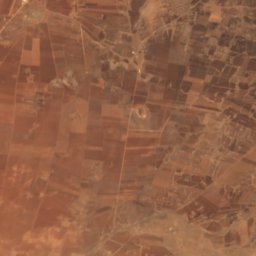
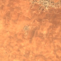
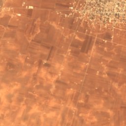
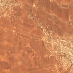
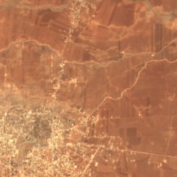
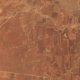
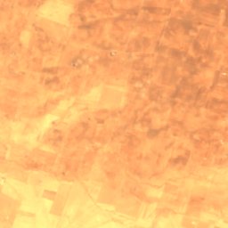
ดาวเทียม: Sentinel-2 cloudless 2016 โดย EOX IT Services GmbH · CC BY 4.0 · มีข้อมูล Copernicus Sentinel (2016) ที่ดัดแปลงแล้ว
Birkat al-Ḥājj
Bosra, เขตผู้ว่าการดัรอา
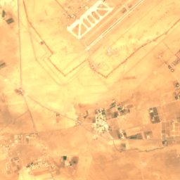
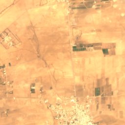
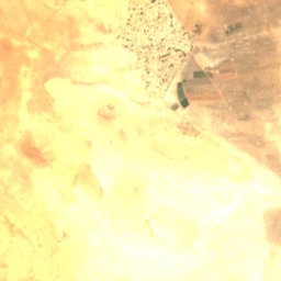
ดาวเทียม: Sentinel-2 cloudless 2016 โดย EOX IT Services GmbH · CC BY 4.0 · มีข้อมูล Copernicus Sentinel (2016) ที่ดัดแปลงแล้ว
Hijaneh Lake
Dayr al ‘Aşāfīr, เขตผู้ว่าการรีฟดิมัชก์
อุทยานแห่งชาติ
อุทยานแห่งชาติในซีเรีย

เกาะ
เกาะในซีเรีย




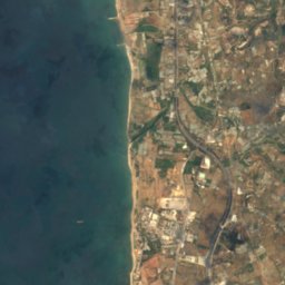
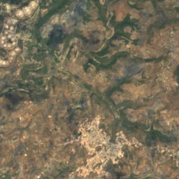


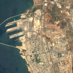
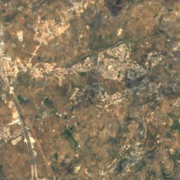

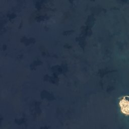
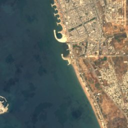
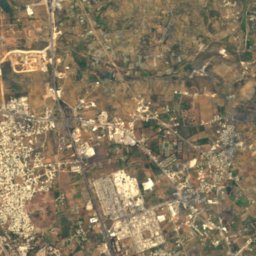
ดาวเทียม: Sentinel-2 cloudless 2016 โดย EOX IT Services GmbH · CC BY 4.0 · มีข้อมูล Copernicus Sentinel (2016) ที่ดัดแปลงแล้ว
Banc Charner
อัรวาด, เขตผู้ว่าการฏ็อรฏูส
ถ้ำ
ถ้ำในซีเรีย
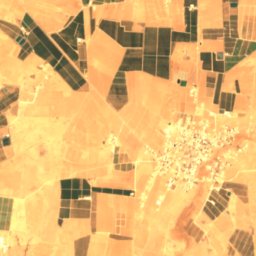
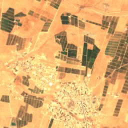
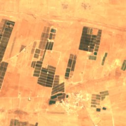
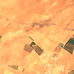
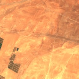
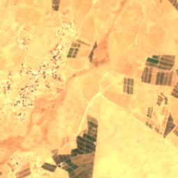
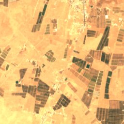
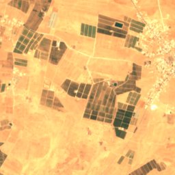
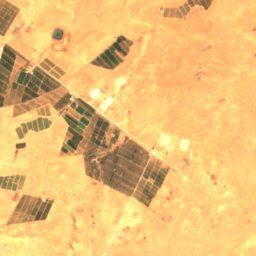
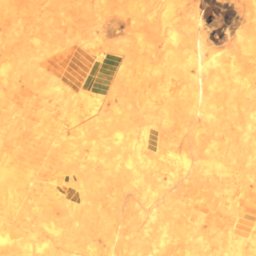
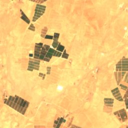
ดาวเทียม: Sentinel-2 cloudless 2016 โดย EOX IT Services GmbH · CC BY 4.0 · มีข้อมูล Copernicus Sentinel (2016) ที่ดัดแปลงแล้ว
Al Haya Cave
Şamād, เขตผู้ว่าการดัรอา
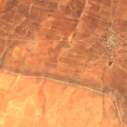
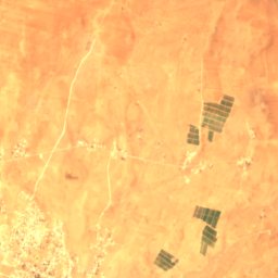
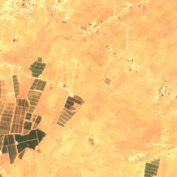
ดาวเทียม: Sentinel-2 cloudless 2016 โดย EOX IT Services GmbH · CC BY 4.0 · มีข้อมูล Copernicus Sentinel (2016) ที่ดัดแปลงแล้ว
Azzam Cave
Şamād, เขตผู้ว่าการดัรอา
ดาวเทียม: Sentinel-2 cloudless 2016 โดย EOX IT Services GmbH · CC BY 4.0 · มีข้อมูล Copernicus Sentinel (2016) ที่ดัดแปลงแล้ว
Dahdal Cave
Şamād, เขตผู้ว่าการดัรอา
แม่น้ำ
แม่น้ำในซีเรีย


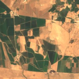
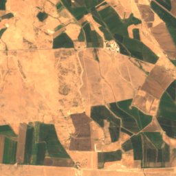
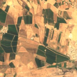
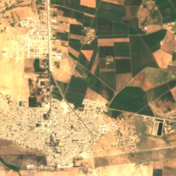
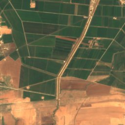
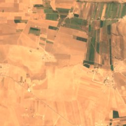
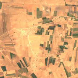
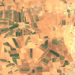
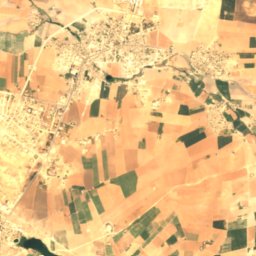
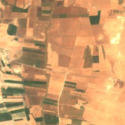
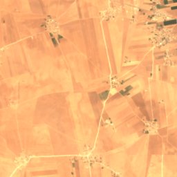
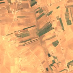
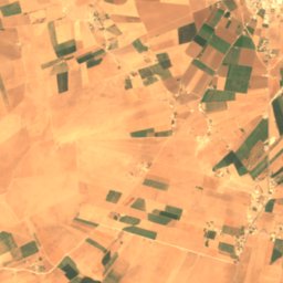
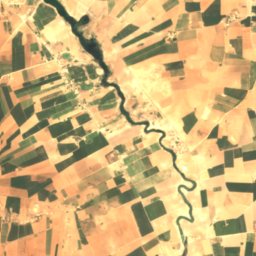
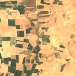
ดาวเทียม: Sentinel-2 cloudless 2016 โดย EOX IT Services GmbH · CC BY 4.0 · มีข้อมูล Copernicus Sentinel (2016) ที่ดัดแปลงแล้ว
Balikh River
Tell Abyad, เขตผู้ว่าการอัรร็อกเกาะฮ์
350 m
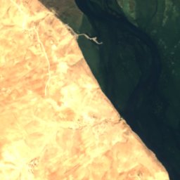
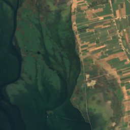
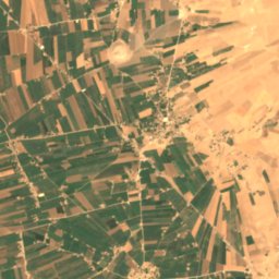
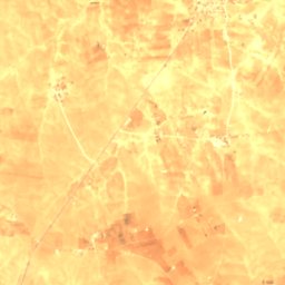
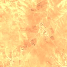
ดาวเทียม: Sentinel-2 cloudless 2016 โดย EOX IT Services GmbH · CC BY 4.0 · มีข้อมูล Copernicus Sentinel (2016) ที่ดัดแปลงแล้ว
Sayur Brook
Jarabulus, เขตผู้ว่าการอะเลปโป
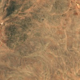
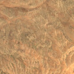
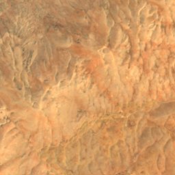
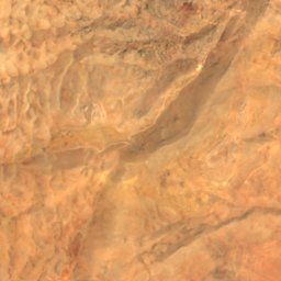
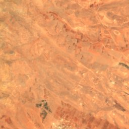
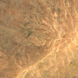
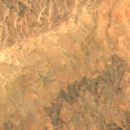
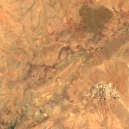
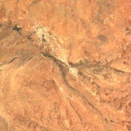
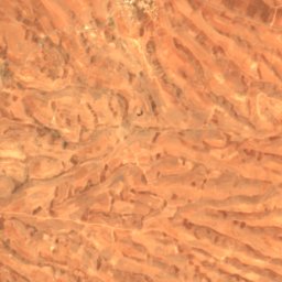
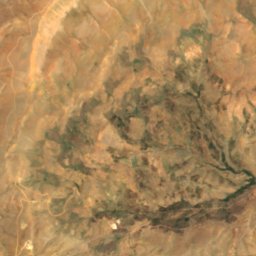
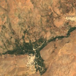
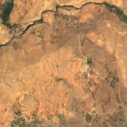
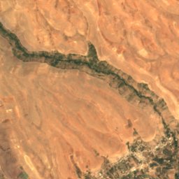
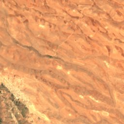
ดาวเทียม: Sentinel-2 cloudless 2016 โดย EOX IT Services GmbH · CC BY 4.0 · มีข้อมูล Copernicus Sentinel (2016) ที่ดัดแปลงแล้ว
Pharpar
Qatana, เขตผู้ว่าการรีฟดิมัชก์
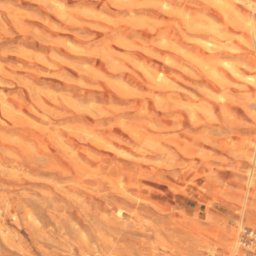
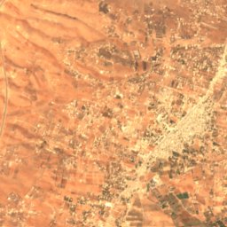
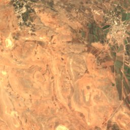
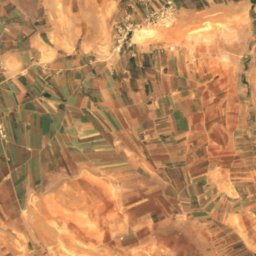
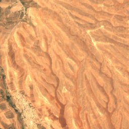
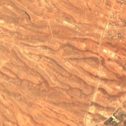
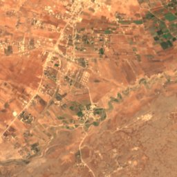
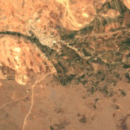
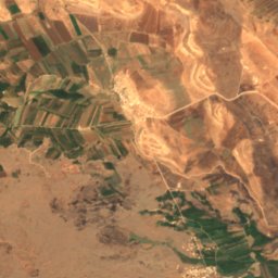
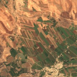
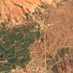
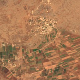
ดาวเทียม: Sentinel-2 cloudless 2016 โดย EOX IT Services GmbH · CC BY 4.0 · มีข้อมูล Copernicus Sentinel (2016) ที่ดัดแปลงแล้ว
Awaj
Kanakir, เขตผู้ว่าการรีฟดิมัชก์
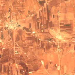
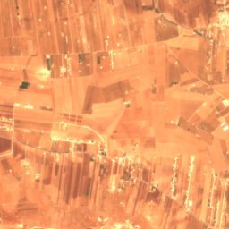
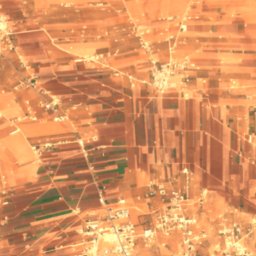
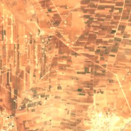
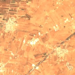
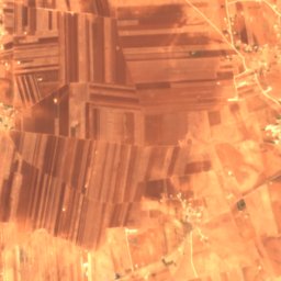
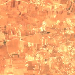
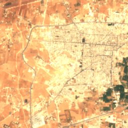
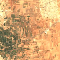
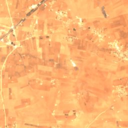
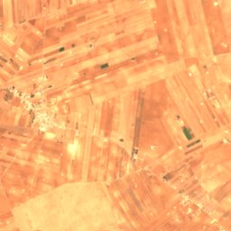
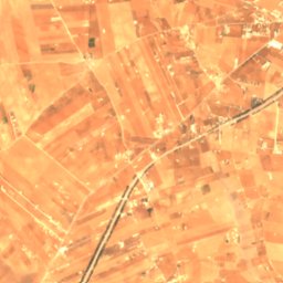
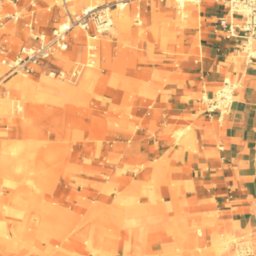
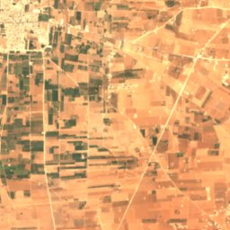
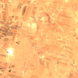


ดาวเทียม: Sentinel-2 cloudless 2016 โดย EOX IT Services GmbH · CC BY 4.0 · มีข้อมูล Copernicus Sentinel (2016) ที่ดัดแปลงแล้ว
Dhahab River
al-Bab, เขตผู้ว่าการอะเลปโป