















Skip to content
Destinations
Weather & climate
Nature
Outdoors
Culture
Events
Sky & live
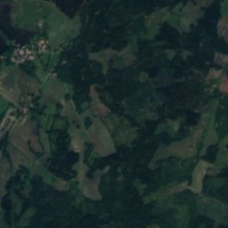
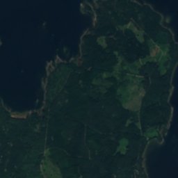
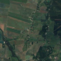
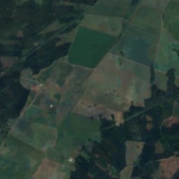
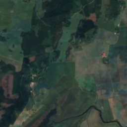
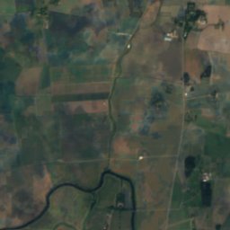
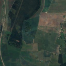
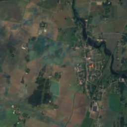
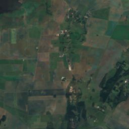
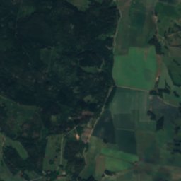
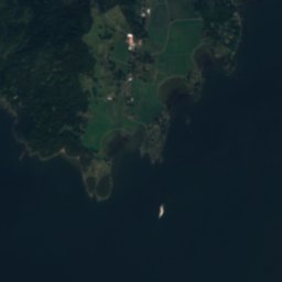
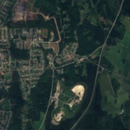
Satellite: Sentinel-2 cloudless 2016 by EOX IT Services GmbH · CC BY 4.0 · Contains modified Copernicus Sentinel data 2016
Tidan
Photo: Rost-Olle · CC BY-SA 3.0 · Wikimedia Commons
TidanReport this photo · linked, not stored
Tidan
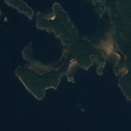
Torsö
Photo: ChrisPsi · CC BY-SA 3.0 · Wikimedia Commons
TorsöReport this photo · linked, not stored
Torsö
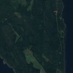
Brommö
Photo: ChrisPsi · CC BY-SA 3.0 · Wikimedia Commons
BrommöReport this photo · linked, not stored
Brommö
IslandMariestad, Västra Götaland

Dillö

Island49 m elevationBest Jun–Aug
Elevation49 mabove sea level
Area4.3 km²surface
Nearest townMariestad5.8 km
58.73° N, 13.73° EElevation 49 mUTC+2 · Central European Summer Time
When to goMariestad · weather score
JanFebMarAprMayJunJulAugSepOctNovDec21October
Best timeJun–Aug
October: high / low11° / 5°
Island

Dillö in brief

Dillö is an island in Mariestad, Västra Götaland, Sweden.

It lies at 49 m above sea level and covers about 4.3 km².

The nearest town in the atlas is Mariestad, 5.8 km to the SE, where the weather is best in June, July and August.

Mariestad: weather and travel guide

Weather nearby now

Forecast for Mariestad
10°
Rain now
Wind13 km/h
Humidity95%
Cloud cover100%
Today
22 Oct
12°
8°
9 mm
Fri
23 Oct
11°
5°
2 mm
Sat
24 Oct
12°
6°
1 mm
Sun
25 Oct
11°
6°
7 mm
Mon
26 Oct
12°
6°
2 mm

Model run 00:00 UTCRefreshed several times a day

The island from above

4.3 km² · coastline as mapped in OpenStreetMap
1 km
When to go

The best months around Dillö

Climate of Mariestad

Month score in Mariestad

Comfort, dry days and sunshine · out of 100
Map

Dillö from above

Nature nearbyAll of Sweden
Photo: Rost-Olle · CC BY-SA 3.0 · Wikimedia CommonsReport this photo · linked, not stored
TidanRiver5.8 kmSETidan
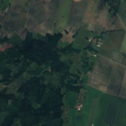
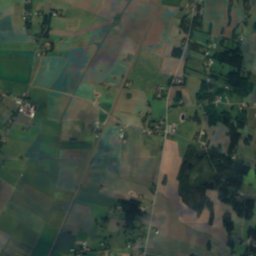
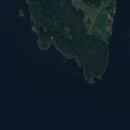
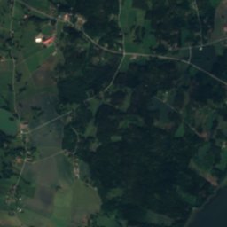
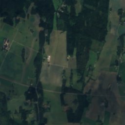
Satellite: Sentinel-2 cloudless 2016 by EOX IT Services GmbH · CC BY 4.0 · Contains modified Copernicus Sentinel data 2016
Lindön, Västra GötalandIsland8.9 kmWLindön, Västra Götaland
Photo: ChrisPsi · CC BY-SA 3.0 · Wikimedia CommonsReport this photo · linked, not stored
TorsöIsland9.3 kmNETorsö
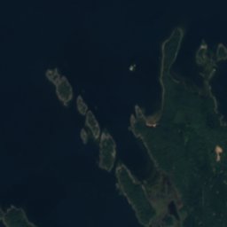
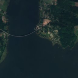
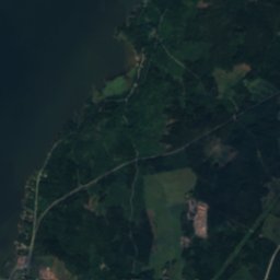
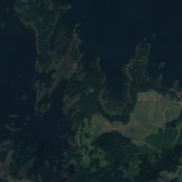
Satellite: Sentinel-2 cloudless 2016 by EOX IT Services GmbH · CC BY 4.0 · Contains modified Copernicus Sentinel data 2016

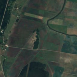
AsparenIsland10 kmSWAsparen
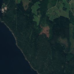
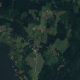
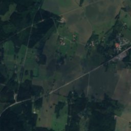
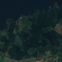
Satellite: Sentinel-2 cloudless 2016 by EOX IT Services GmbH · CC BY 4.0 · Contains modified Copernicus Sentinel data 2016
HovdenIsland11 kmNWHovden
Photo: ChrisPsi · CC BY-SA 3.0 · Wikimedia CommonsReport this photo · linked, not stored
BrommöIsland11 kmNBrommö
Stay nearby

Towns close by

Mariestad
Photo: B5254 · CC0 · Wikimedia CommonsReport this photo · linked, not stored

Mariestad

Västra Götaland · 5.8 km SE
11°Oct high
14wet days
21score
Mariestad
Lugnås
Photo: Leojth · CC BY-SA 3.0 · Wikimedia CommonsReport this photo · linked, not stored

Lugnås

Västra Götaland · 10 km S
11°Oct high
14wet days
21score
Lugnås
Ullervad
Photo: Riggwelter · CC BY-SA 3.0 · Wikimedia CommonsReport this photo · linked, not stored

Ullervad

Västra Götaland · 11 km SE
10°Oct high
14wet days
20score
Ullervad
Sjötorp
Photo: Iin208 · CC BY-SA 4.0 · Wikimedia CommonsReport this photo · linked, not stored

Sjötorp

Västra Götaland · 18 km NE
10°Oct high
14wet days
19score
Sjötorp
Around here

Mariestad and around

Mariestad
Photo: B5254 · CC0 · Wikimedia CommonsReport this photo · linked, not stored

Mariestad

Västra Götaland · Sweden
Jun–Augbest months
22°July high
56 maltitude
Mariestad

Nature

Tidan
Photo: Rost-Olle · CC BY-SA 3.0 · Wikimedia CommonsReport this photo · linked, not stored
0.2 km N

Tidan

River
Tidan
Ymsen
Photo: Aaker · Public domain · Wikimedia CommonsReport this photo · linked, not stored
9.5 km SE

Ymsen

Lake · 71 m
Ymsen
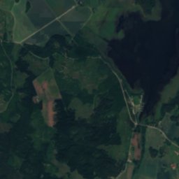
Satellite: Sentinel-2 cloudless 2016 by EOX IT Services GmbH · CC BY 4.0 · Contains modified Copernicus Sentinel data 2016
17 km S

Östen, Västra Götaland

Lake · 65 m
Östen, Västra Götaland

Heritage

Bertha Petterssons hus
Photo: Calle Eklund/V-wolf · CC BY-SA 3.0 · Wikimedia CommonsReport this photo · linked, not stored
0.1 km NW

Bertha Petterssons hus

individual listed building complex · 1829
Bertha Petterssons hus
Zachauska gården
Photo: Catasa · CC BY-SA 3.0 · Wikimedia CommonsReport this photo · linked, not stored
0.3 km SW

Zachauska gården

individual listed building complex · 1761
Zachauska gården
Marieholm
Photo: (WT-shared) Riggwelter at wts.wikivoyage · CC BY-SA 4.0 · Wikimedia CommonsReport this photo · linked, not stored
0.4 km SW

Marieholm

governmental listed building complex · 1733
Marieholm

Museums

Vadsbo museum
Photo: Jorgen.dernroth · CC BY-SA 3.0 · Wikimedia CommonsReport this photo · linked, not stored
0.4 km SW

Vadsbo museum

Vadsbo museum
Satellite: Sentinel-2 cloudless 2016 by EOX IT Services GmbH · CC BY 4.0 · Contains modified Copernicus Sentinel data 2016
11 km SW

Qvarnstensgruvan Minnesfjället i Lugnås

Qvarnstensgruvan Minnesfjället i Lugnås
Satellite: Sentinel-2 cloudless 2016 by EOX IT Services GmbH · CC BY 4.0 · Contains modified Copernicus Sentinel data 2016
14 km W

Årnäs museum

Årnäs museum