Skip to content
Destinations
Weather & climate
Nature
Outdoors
Culture
Events
Sky & live
Brommö
Photo: ChrisPsi · CC BY-SA 3.0 · Wikimedia Commons
BrommöReport this photo · linked, not stored
Torsö
Photo: ChrisPsi · CC BY-SA 3.0 · Wikimedia Commons
TorsöReport this photo · linked, not stored
Torsö
IslandMariestad, Västra Götaland

Brommö

IslandBest Jun–Aug
Elevation–above sea level
Area–surface
Nearest townMariestad16 km
58.83° N, 13.68° EUTC+2 · Central European Summer Time
When to goMariestad · weather score
JanFebMarAprMayJunJulAugSepOctNovDec21October
Best timeJun–Aug
October: high / low11° / 5°
Island

Brommö in brief

Brommö is an island in Mariestad, Västra Götaland, Sweden.

The nearest town in the atlas is Mariestad, 16 km to the SE, where the weather is best in June, July and August.

Mariestad: weather and travel guide

Weather nearby now

Forecast for Mariestad
10°
Rain now
Wind13 km/h
Humidity95%
Cloud cover100%
Today
22 Oct
12°
8°
9 mm
Fri
23 Oct
11°
5°
2 mm
Sat
24 Oct
12°
6°
1 mm
Sun
25 Oct
11°
6°
7 mm
Mon
26 Oct
12°
6°
2 mm

Model run 00:00 UTCRefreshed several times a day

When to go

The best months around Brommö

Climate of Mariestad

Month score in Mariestad

Comfort, dry days and sunshine · out of 100
Map

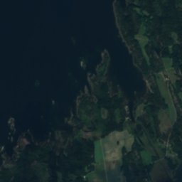
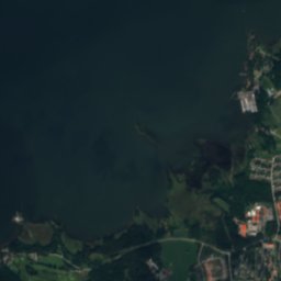
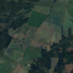
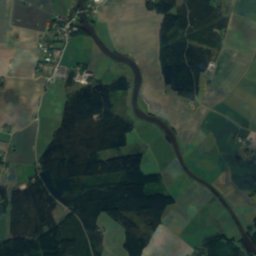
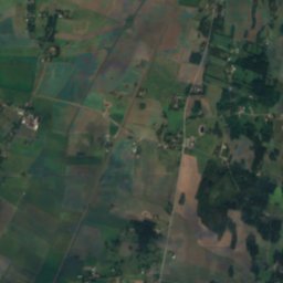
Brommö from above

Nature nearbyAll of Sweden
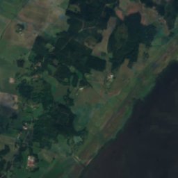
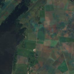
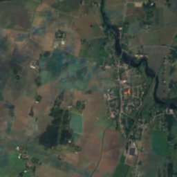
Satellite: Sentinel-2 cloudless 2016 by EOX IT Services GmbH · CC BY 4.0 · Contains modified Copernicus Sentinel data 2016
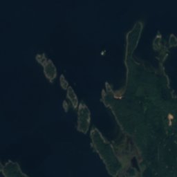
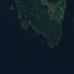
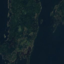
HovdenIsland3.3 kmSWHovden
Photo: ChrisPsi · CC BY-SA 3.0 · Wikimedia CommonsReport this photo · linked, not stored
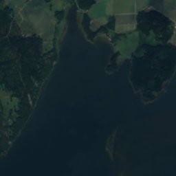
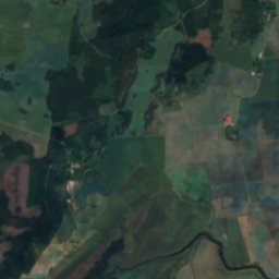
TorsöIsland8.8 kmETorsö
Satellite: Sentinel-2 cloudless 2016 by EOX IT Services GmbH · CC BY 4.0 · Contains modified Copernicus Sentinel data 2016

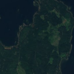
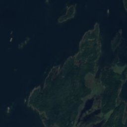
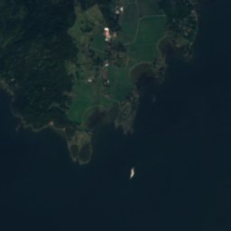
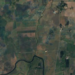
Österön, Västra GötalandIsland11 kmEÖsterön, Västra Götaland
Satellite: Sentinel-2 cloudless 2016 by EOX IT Services GmbH · CC BY 4.0 · Contains modified Copernicus Sentinel data 2016

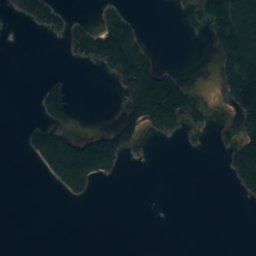
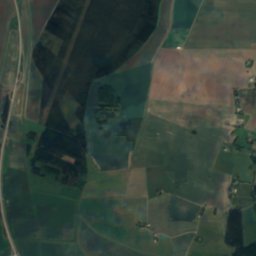
DillöIsland11 kmSDillö
Satellite: Sentinel-2 cloudless 2016 by EOX IT Services GmbH · CC BY 4.0 · Contains modified Copernicus Sentinel data 2016
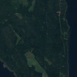
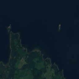
HemönIsland11 kmEHemön
Satellite: Sentinel-2 cloudless 2016 by EOX IT Services GmbH · CC BY 4.0 · Contains modified Copernicus Sentinel data 2016
Kalvö, Västra GötalandIsland12 kmEKalvö, Västra Götaland
Stay nearby

Towns close by

Mariestad
Photo: B5254 · CC0 · Wikimedia CommonsReport this photo · linked, not stored

Mariestad

Västra Götaland · 16 km SE
11°Oct high
14wet days
21score
Mariestad
Sjötorp
Photo: Iin208 · CC BY-SA 4.0 · Wikimedia CommonsReport this photo · linked, not stored

Sjötorp

Västra Götaland · 17 km E
10°Oct high
14wet days
19score
Sjötorp
Lugnås
Photo: Leojth · CC BY-SA 3.0 · Wikimedia CommonsReport this photo · linked, not stored

Lugnås

Västra Götaland · 21 km S
11°Oct high
14wet days
21score
Lugnås
Ullervad
Photo: Riggwelter · CC BY-SA 3.0 · Wikimedia CommonsReport this photo · linked, not stored

Ullervad

Västra Götaland · 21 km SE
10°Oct high
14wet days
20score
Ullervad
Around here

Mariestad and around

Mariestad
Photo: B5254 · CC0 · Wikimedia CommonsReport this photo · linked, not stored

Mariestad

Västra Götaland · Sweden
Jun–Augbest months
22°July high
56 maltitude
Mariestad

Nature

Tidan
Photo: Rost-Olle · CC BY-SA 3.0 · Wikimedia CommonsReport this photo · linked, not stored
0.2 km N

Tidan

River
Tidan
Ymsen
Photo: Aaker · Public domain · Wikimedia CommonsReport this photo · linked, not stored
9.5 km SE

Ymsen

Lake · 71 m
Ymsen
Satellite: Sentinel-2 cloudless 2016 by EOX IT Services GmbH · CC BY 4.0 · Contains modified Copernicus Sentinel data 2016

17 km S

Östen, Västra Götaland

Lake · 65 m
Östen, Västra Götaland

Heritage

Bertha Petterssons hus
Photo: Calle Eklund/V-wolf · CC BY-SA 3.0 · Wikimedia CommonsReport this photo · linked, not stored
0.1 km NW

Bertha Petterssons hus

individual listed building complex · 1829
Bertha Petterssons hus
Zachauska gården
Photo: Catasa · CC BY-SA 3.0 · Wikimedia CommonsReport this photo · linked, not stored
0.3 km SW

Zachauska gården

individual listed building complex · 1761
Zachauska gården
Marieholm
Photo: (WT-shared) Riggwelter at wts.wikivoyage · CC BY-SA 4.0 · Wikimedia CommonsReport this photo · linked, not stored
0.4 km SW

Marieholm

governmental listed building complex · 1733
Marieholm

Museums

Vadsbo museum
Photo: Jorgen.dernroth · CC BY-SA 3.0 · Wikimedia CommonsReport this photo · linked, not stored
0.4 km SW

Vadsbo museum

Vadsbo museum
Satellite: Sentinel-2 cloudless 2016 by EOX IT Services GmbH · CC BY 4.0 · Contains modified Copernicus Sentinel data 2016

11 km SW

Qvarnstensgruvan Minnesfjället i Lugnås

Qvarnstensgruvan Minnesfjället i Lugnås
Satellite: Sentinel-2 cloudless 2016 by EOX IT Services GmbH · CC BY 4.0 · Contains modified Copernicus Sentinel data 2016
14 km W

Årnäs museum

Årnäs museum