
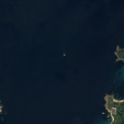
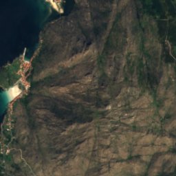
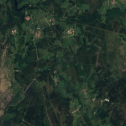
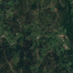
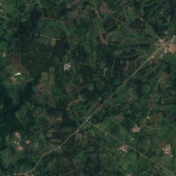

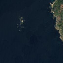
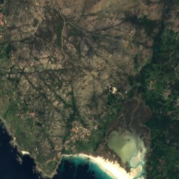
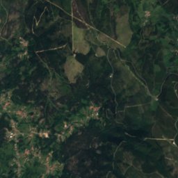
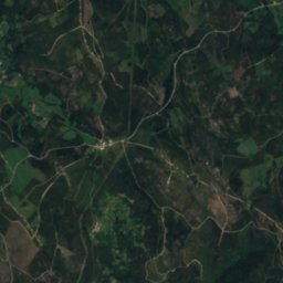
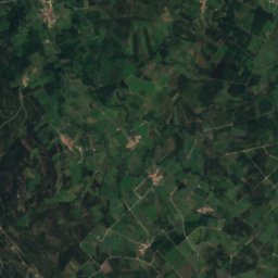

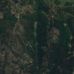
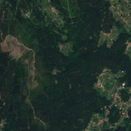
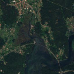
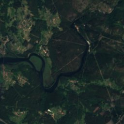

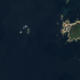
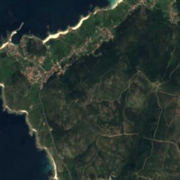
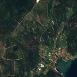
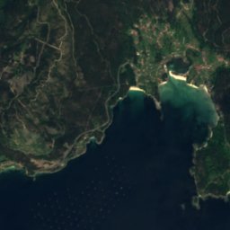
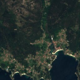
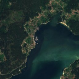
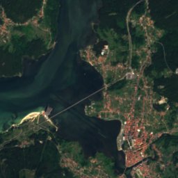
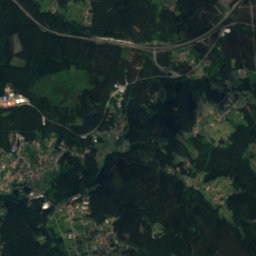


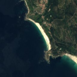
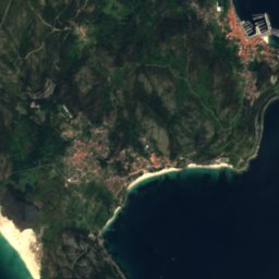
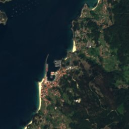


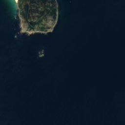

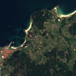
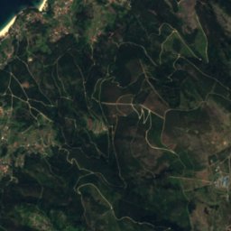
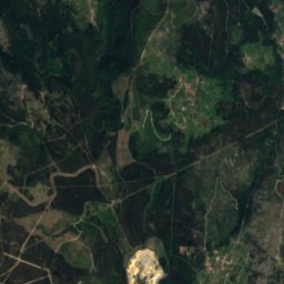
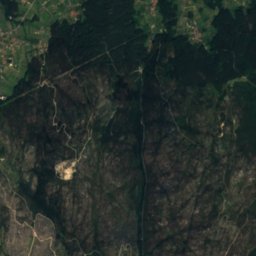
Satellite: Sentinel-2 cloudless 2016 by EOX IT Services GmbH · CC BY 4.0 · Contains modified Copernicus Sentinel data 2016
 Liñares

Photo: Vanbasten 23 · CC BY-SA 3.0 · Wikimedia Commons
BornalleReport this photo · linked, not stored
BornalleBornalleReport this photo · linked, not stored

Photo: Tanja Freibott · CC BY-SA 3.0 es · Wikimedia Commons
Mount PindoReport this photo · linked, not stored
Mount PindoMount PindoReport this photo · linked, not stored
BeachMuros, Galicia
Ventín
BeachBest Jul–Sep
Elevation–above sea level
Water qualityExcellentEU · 2025
Nearest townMuros3.8 km
42.80° N, 9.03° WUTC+1 · Central European Standard Time
When to goMuros · weather score
Best timeJul–Sep
October: high / low20° / 13°
Beach
Ventín in brief
Ventín is a beach in Muros, Galicia, Spain.
The nearest town is Muros, 3.8 km to the SW, where the weather is best in July, August and September.
Bathing water quality (EU, 2025): excellent.
The sea is warmest in August, at about 17°C.
Weather nearby now
Forecast for Muros17°
Cloudy now
Today
27 Oct
19°
13°
11 mm
Wed
28 Oct
20°
12°
Thu
29 Oct
20°
12°
Fri
30 Oct
22°
12°
Sat
31 Oct
21°
11°
Model run 00:00 UTCRefreshed several times a day
Sea and air through the year
Sea surface temperature off the coast and the average daily high in Muros, month by month.Jan14°13°
Feb13°14°
Mar13°16°
Apr14°18°
May15°20°
Jun16°22°
Jul17°24°
Aug17°24°
Sep17°23°
Oct16°20°
Nov15°16°
Dec14°14°
seaair, daily high
Map
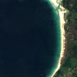
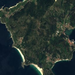
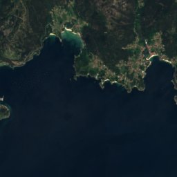
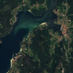
Ventín from above
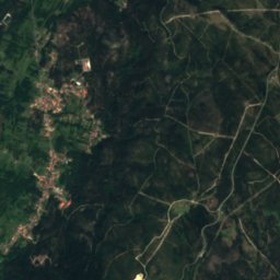
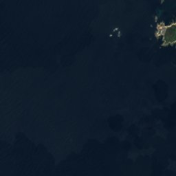
Nature nearbyAll of Spain


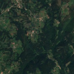
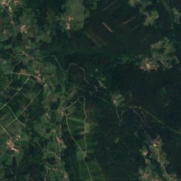
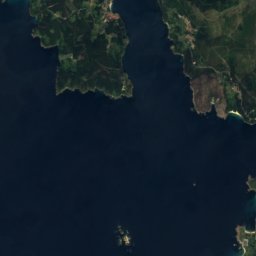
Satellite: Sentinel-2 cloudless 2016 by EOX IT Services GmbH · CC BY 4.0 · Contains modified Copernicus Sentinel data 2016
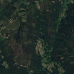
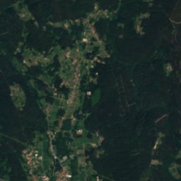
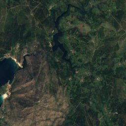
Satellite: Sentinel-2 cloudless 2016 by EOX IT Services GmbH · CC BY 4.0 · Contains modified Copernicus Sentinel data 2016
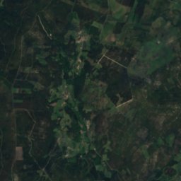
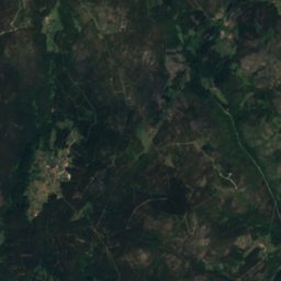
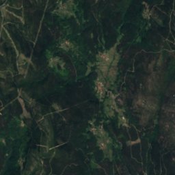
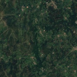
Satellite: Sentinel-2 cloudless 2016 by EOX IT Services GmbH · CC BY 4.0 · Contains modified Copernicus Sentinel data 2016
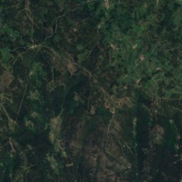
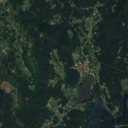
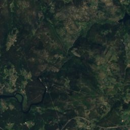
Summits nearbyMountains of Spain

Stay nearby
Towns close by

Photo: L. Miguel Bugallo Sánchez · CC BY-SA 4.0 · Wikimedia CommonsReport this photo · linked, not stored
Muros
Galicia · 3.8 km SW
20°Oct high
15wet days
63score

Photo: Adrián Estévez (Estevoaei) · CC BY-SA 4.0 · Wikimedia CommonsReport this photo · linked, not stored
Carnota
Galicia · 5.8 km NW
20°Oct high
15wet days
63score

Photo: Luis Miguel Bugallo Sánchez · CC BY-SA 3.0 · Wikimedia CommonsReport this photo · linked, not stored
Portosín
Galicia · 7.8 km SE
21°Oct high
15wet days
63score

Photo: Luis Miguel Bugallo Sánchez (http://commons.wikimedia.org/wiki/User:Lmbuga) · CC BY-SA 3.0 · Wikimedia CommonsReport this photo · linked, not stored
Porto do Son
Galicia · 8.4 km S
20°Oct high
15wet days
64score
Around here
Muros and around
Photo: L. Miguel Bugallo Sánchez · CC BY-SA 4.0 · Wikimedia CommonsReport this photo · linked, not stored
Muros
Galicia · Spain
Jul–Sepbest months
24°July high
14 maltitude
Nature


Photo: Ismael Alonso Tubío (gl:User:Ambiorix) · Public domain · Wikimedia CommonsReport this photo · linked, not stored
Te River
River
Mountains

Heritage

Photo: Luis Miguel Bugallo Sánchez (http://commons.wikimedia.org/wiki/User:Lmbuga) · CC BY-SA 3.0 · Wikimedia CommonsReport this photo · linked, not stored
Igrexa de San Martiño de Noia
bien de interés cultural · 1434

Photo: Luis Miguel Bugallo Sánchez (http://commons.wikimedia.org/wiki/User:Lmbuga) · CC BY-SA 3.0 · Wikimedia CommonsReport this photo · linked, not stored
Church of Santa María a Nova de Noia
bien de interés cultural · 1327


Museums

Photo: Luis Miguel Bugallo Sánchez (Lmbuga) · CC BY-SA 4.0 · Wikimedia CommonsReport this photo · linked, not stored

O Pozo do Cachón tide mill
Ethnographic museum