
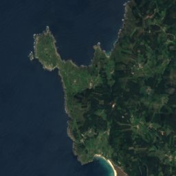
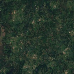
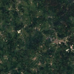
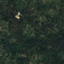
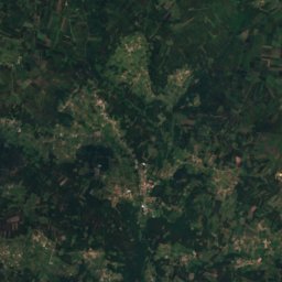

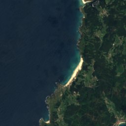
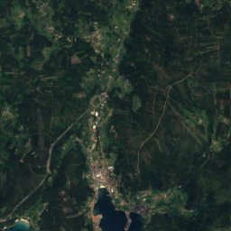
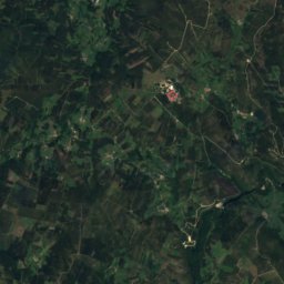
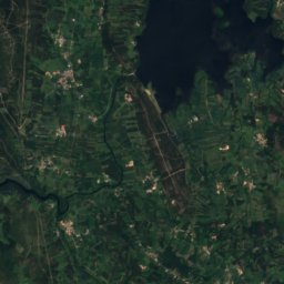
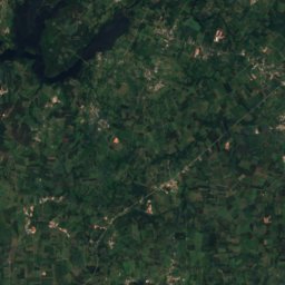
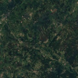
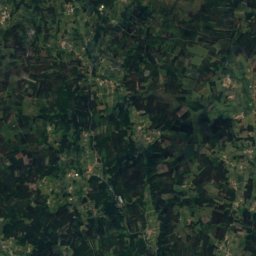
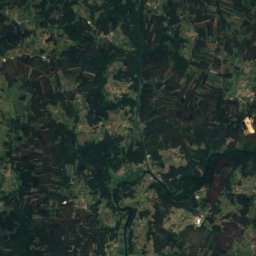

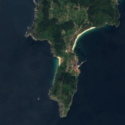
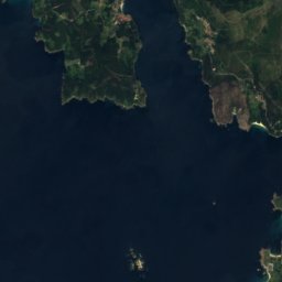
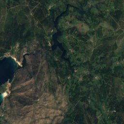
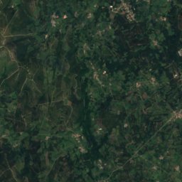
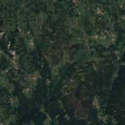
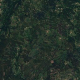
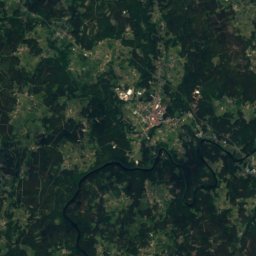
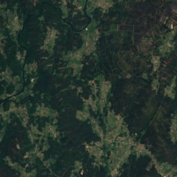


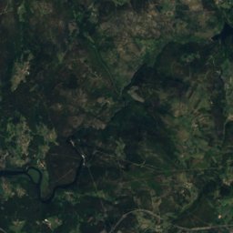
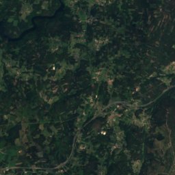
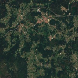


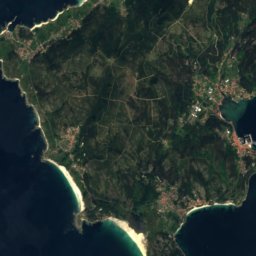
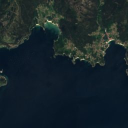
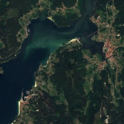
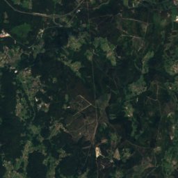
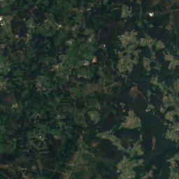
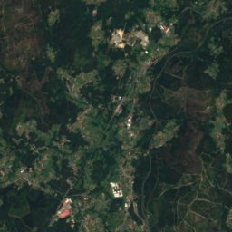



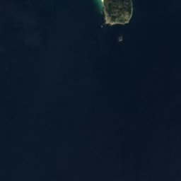
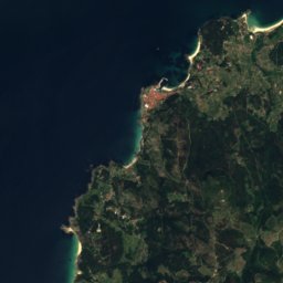
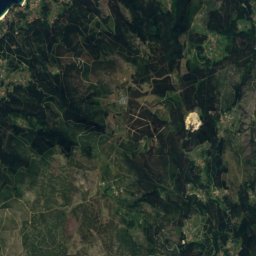

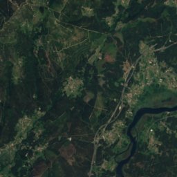
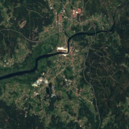
Satellite: Sentinel-2 cloudless 2016 by EOX IT Services GmbH · CC BY 4.0 · Contains modified Copernicus Sentinel data 2016

Photo: Tanja Freibott · CC BY-SA 3.0 es · Wikimedia Commons
Mount PindoReport this photo · linked, not stored
Mount PindoMount PindoReport this photo · linked, not stored
Galician Massif · Galicia · SpainSummit weather, forecast and climate
Tremuzo
531 m
Elevation531 mabove sea level
Prominence120 mindependent height
Isolation16 kmto a higher summit
Summit, Jul23°average high
42.83° N, 8.95° WElevation 531 mUTC+2 · Central European Summer Time
From the valley to the top
- Summit531 m
- Mid-mountain330 m
- Valley · Outes120 m
Freezing level in October: above the summit
iThe mountain
Tremuzo in brief
Tremuzo rises to 531 m in the Galician Massif, Galicia, Spain. Its topographic prominence — the height it stands above the lowest contour enclosing a higher summit — is 120 m.
At the summit, August is the mildest month with average highs of 23°, while nights rarely fall below freezing.
The nearest town in the atlas is Outes, 3.4 km to the NE at 120 m.
iiForecast
Weather at three heights
Temperatures are adjusted to each height; summits are usually colder and windier than the valley forecast suggests.
Loading the latest forecast…
Loading the latest forecast…
Loading the latest forecast…
iiiSummit climate
The top of Tremuzo by month
Summit temperatures and precipitation
Climate normals for the summit area (~1 km grid), station-adjusted| Month | Jan | Feb | Mar | Apr | May | Jun | Jul | Aug | Sep | Oct | Nov | Dec |
|---|---|---|---|---|---|---|---|---|---|---|---|---|
| Average high | 11° | 11° | 14° | 15° | 18° | 21° | 23° | 23° | 22° | 18° | 13° | 12° |
| Average low | 5° | 4° | 6° | 7° | 9° | 12° | 14° | 14° | 13° | 10° | 7° | 6° |
| Precipitation | 272 mm | 207 mm | 196 mm | 177 mm | 176 mm | 81 mm | 52 mm | 66 mm | 135 mm | 287 mm | 273 mm | 333 mm |
| Cloud cover | 48% | 44% | 43% | 42% | 40% | 32% | 27% | 27% | 32% | 44% | 48% | 49% |
| Daylight | 9h 22 | 10h 33 | 11h 53 | 13h 22 | 14h 38 | 15h 19 | 15h 02 | 13h 57 | 12h 32 | 11h 06 | 9h 46 | 9h 03 |
| Month score | 21 | 27 | 38 | 48 | 63 | 77 | 86 | 82 | 66 | 61 | 34 | 25 |
Snow and freezing level
Average height of the 0 °C level from the summit normals (6.5 °C per km); snow months have a summit mean at or below +1 °C| Month | Jan | Feb | Mar | Apr | May | Jun | Jul | Aug | Sep | Oct | Nov | Dec |
|---|---|---|---|---|---|---|---|---|---|---|---|---|
| Freezing level | 1,750 m | 1,750 m | 2,000 m | 2,250 m | 2,600 m | 3,000 m | 3,350 m | 3,350 m | 3,150 m | 2,700 m | 2,100 m | 1,850 m |
| Summit | above 0 °C | above 0 °C | above 0 °C | above 0 °C | above 0 °C | above 0 °C | above 0 °C | above 0 °C | above 0 °C | above 0 °C | above 0 °C | above 0 °C |
ivTerrain
Tremuzo in 3D
vNeighbours
Mountains of SpainPeaks nearby
| Mountain | Elevation | Prominence | Distance | July summit high |
|---|---|---|---|---|
| Mount Pindo | 627 m | – | 15 km NW | 21° |
viBase towns
Where to stay nearby

Photo: L. Miguel Bugallo Sánchez · CC BY-SA 4.0 · Wikimedia CommonsReport this photo · linked, not stored
Outes
Galicia · 3.4 km NE
20°Oct high
15wet days
62score

Photo: Luis Miguel Bugallo Sánchez (http://commons.wikimedia.org/wiki/User:Lmbuga) · CC BY-SA 3.0 · Wikimedia CommonsReport this photo · linked, not stored
Noia
Galicia · 7.1 km SE
21°Oct high
15wet days
63score

Photo: Luis Miguel Bugallo Sánchez · CC BY-SA 3.0 · Wikimedia CommonsReport this photo · linked, not stored
Portosín
Galicia · 7.7 km S
21°Oct high
15wet days
63score

Photo: L. Miguel Bugallo Sánchez · CC BY-SA 4.0 · Wikimedia CommonsReport this photo · linked, not stored
Muros
Galicia · 10 km SW
20°Oct high
15wet days
63score
Around here
Outes and around
Photo: L. Miguel Bugallo Sánchez · CC BY-SA 4.0 · Wikimedia CommonsReport this photo · linked, not stored
Outes
Galicia · Spain
Jul–Sepbest months
24°July high
120 maltitude
Nature


Mountains


Photo: Luis Miguel Bugallo Sánchez (http://commons.wikimedia.org/wiki/User:Lmbuga) · CC BY-SA 3.0 · Wikimedia CommonsReport this photo · linked, not stored

Pico Sacro
490 m · Galician Massif
Heritage

Photo: Luis Miguel Bugallo Sánchez (http://commons.wikimedia.org/wiki/User:Lmbuga) · CC BY-SA 3.0 · Wikimedia CommonsReport this photo · linked, not stored

Church of Santa María a Nova de Noia
bien de interés cultural · 1327

Photo: Luis Miguel Bugallo Sánchez (http://commons.wikimedia.org/wiki/User:Lmbuga) · CC BY-SA 3.0 · Wikimedia CommonsReport this photo · linked, not stored

Igrexa de San Martiño de Noia
bien de interés cultural · 1434

Photo: Luis Miguel Bugallo Sánchez (Lmbuga Commons)(Lmbuga Galipedia) · CC BY-SA 3.0 · Wikimedia CommonsReport this photo · linked, not stored

Monastery of San Xusto de Toxosoutos
bien de interés cultural
Museums

Photo: Luis Miguel Bugallo Sánchez (Lmbuga) · CC BY-SA 4.0 · Wikimedia CommonsReport this photo · linked, not stored

O Pozo do Cachón tide mill
Ethnographic museum