
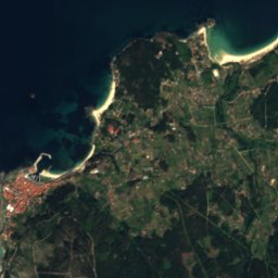




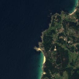
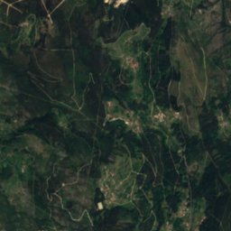



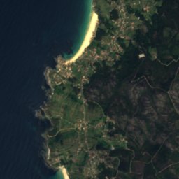
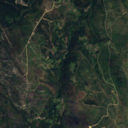
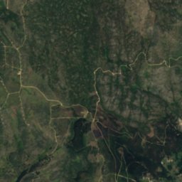
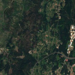


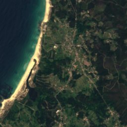
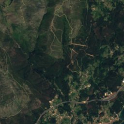
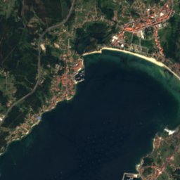



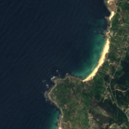
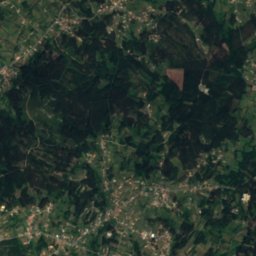
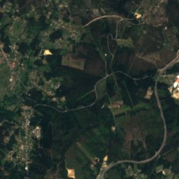
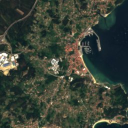
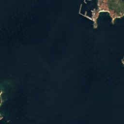


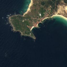
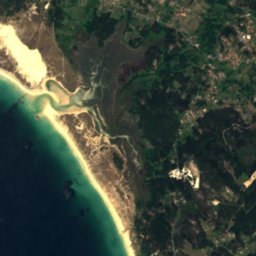
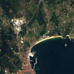
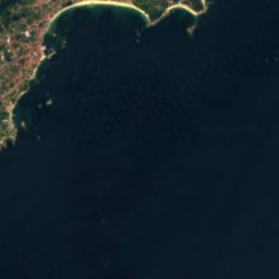
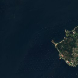
Satellite: Sentinel-2 cloudless 2016 by EOX IT Services GmbH · CC BY 4.0 · Contains modified Copernicus Sentinel data 2016

Photo: Arturo Nikolai · CC BY-SA 2.0 · Wikimedia Commons
Beach of EspiñeiridoReport this photo · linked, not stored
Beach of EspiñeiridoBeach of EspiñeiridoReport this photo · linked, not stored

Photo: Luis Miguel Bugallo Sánchez (Lmbuga) · CC BY-SA 3.0 · Wikimedia Commons
Rio SieiraReport this photo · linked, not stored
Rio SieiraRio SieiraReport this photo · linked, not stored

Photo: Triplecaña · CC BY-SA 4.0 · Wikimedia Commons
Monte SiradellaReport this photo · linked, not stored
Monte SiradellaMonte SiradellaReport this photo · linked, not stored
BeachCarreira, Galicia
Serans
BeachBest Jul–Sep
Elevation–above sea level
Sea, warmest17°CAugust
Nearest townCarreira8.8 km
42.62° N, 9.06° WUTC+1 · Central European Standard Time
When to goCarreira · weather score
Best timeJul–Sep
October: high / low20° / 13°
Beach
Serans in brief
Serans is a beach in Carreira, Galicia, Spain.
The nearest town is Carreira, 8.8 km to the SE, where the weather is best in July, August and September.
The sea is warmest in August, at about 17°C.
Weather nearby now
Forecast for Carreira17°
Cloudy now
Today
27 Oct
19°
14°
10 mm
Wed
28 Oct
18°
13°
Thu
29 Oct
18°
12°
Fri
30 Oct
21°
13°
Sat
31 Oct
19°
13°
Model run 00:00 UTCRefreshed several times a day
Sea and air through the year
Sea surface temperature off the coast and the average daily high in Carreira, month by month.Jan14°13°
Feb13°14°
Mar13°16°
Apr14°17°
May15°20°
Jun16°22°
Jul17°24°
Aug17°24°
Sep17°23°
Oct16°20°
Nov16°16°
Dec14°14°
seaair, daily high
When to go
Climate of CarreiraThe best months around Serans
Month score in Carreira
Comfort, dry days and sunshine · out of 10039
Jan
45
Feb
52
Mar
62
Apr
71
May
82
Jun
85
Jul
84
Aug
83
Sep
64
Oct
52
Nov
42
Dec
Map
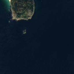
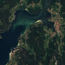
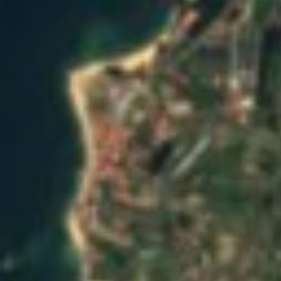
Serans from above
Nature nearbyAll of Spain
Satellite: Sentinel-2 cloudless 2016 by EOX IT Services GmbH · CC BY 4.0 · Contains modified Copernicus Sentinel data 2016
Satellite: Sentinel-2 cloudless 2016 by EOX IT Services GmbH · CC BY 4.0 · Contains modified Copernicus Sentinel data 2016
Satellite: Sentinel-2 cloudless 2016 by EOX IT Services GmbH · CC BY 4.0 · Contains modified Copernicus Sentinel data 2016
Satellite: Sentinel-2 cloudless 2016 by EOX IT Services GmbH · CC BY 4.0 · Contains modified Copernicus Sentinel data 2016


Photo: Luis Miguel Bugallo Sánchez (Lmbuga) · CC BY-SA 3.0 · Wikimedia CommonsReport this photo · linked, not stored
Summits nearbyMountains of Spain
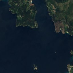
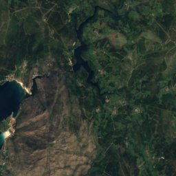
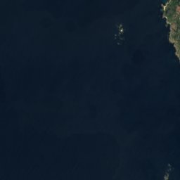
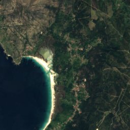
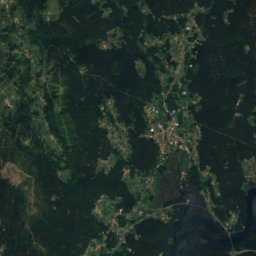
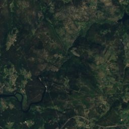
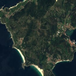
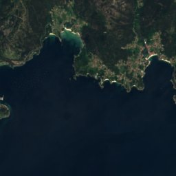
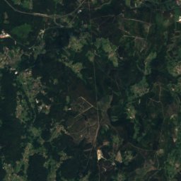
Satellite: Sentinel-2 cloudless 2016 by EOX IT Services GmbH · CC BY 4.0 · Contains modified Copernicus Sentinel data 2016

Stay nearby
Towns close by


Photo: Luis Miguel Bugallo Sánchez (Lmbuga Commons)(Lmbuga Galipedia) Publicada por/Pub · CC BY-SA 3.0 · Wikimedia CommonsReport this photo · linked, not stored
Ribeira
Galicia · 9.0 km SE
20°Oct high
15wet days
64score

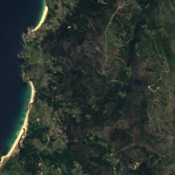
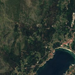
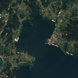

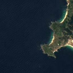
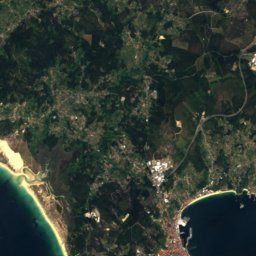
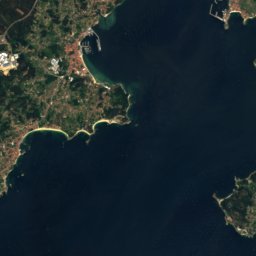
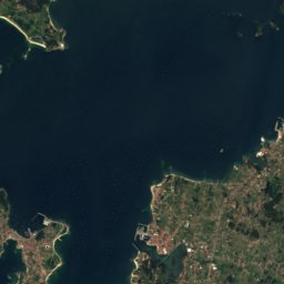

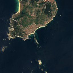
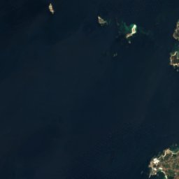
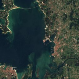
Satellite: Sentinel-2 cloudless 2016 by EOX IT Services GmbH · CC BY 4.0 · Contains modified Copernicus Sentinel data 2016
Palmeira
Galicia · 9.6 km SE
20°Oct high
15wet days
64score

Photo: Luis Miguel Bugallo Sánchez (Lmbuga Commons)(Lmbuga Galipedia) Publicada por/Pub · CC BY-SA 3.0 · Wikimedia CommonsReport this photo · linked, not stored
A Pobra do Caramiñal
Galicia · 9.9 km E
21°Oct high
15wet days
64score
Around here
Carreira and around
Nature


Atlantic Islands of Galicia National Park
National park
Mountains


Photo: Txo (discusión) Mi discusión en castellano 20:43, 22 August 2007 (UTC) · Public domain · Wikimedia CommonsReport this photo · linked, not stored
Monte Faro de Domaio
628 m

Heritage

Photo: Luis Miguel Bugallo Sánchez (Lmbuga Commons)(Lmbuga Galipedia) Publicada por/Pub · CC BY-SA 3.0 · Wikimedia CommonsReport this photo · linked, not stored
Dunas de Corrubedo and Lagoas de Carregal e Vixán Natural Park
Ramsar site · 1992


Museums
Satellite: Sentinel-2 cloudless 2016 by EOX IT Services GmbH · CC BY 4.0 · Contains modified Copernicus Sentinel data 2016
Colección Visitable Fundación Museo de Artes
Art museum
Satellite: Sentinel-2 cloudless 2016 by EOX IT Services GmbH · CC BY 4.0 · Contains modified Copernicus Sentinel data 2016
Casa Museo Valle-Inclán, A Pobra do Caramiñal
Historic house museum



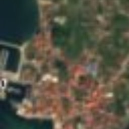



Satellite: Sentinel-2 cloudless 2016 by EOX IT Services GmbH · CC BY 4.0 · Contains modified Copernicus Sentinel data 2016
Casa Museo Valle-Inclán, Vilanova de Arousa
Historic house museum