
Photo: Luis Miguel Bugallo Sánchez (Lmbuga Commons)(Lmbuga Galipedia) · CC BY-SA 3.0 · Wikimedia Commons
Sar RiverReport this photo · linked, not stored
Sar RiverReport this photo · linked, not stored

Photo: Little Social Projects · CC BY-SA 4.0 · Wikimedia Commons
Seira BeachReport this photo · linked, not stored
Seira BeachSeira BeachReport this photo · linked, not stored
 Río del Con

Photo: Pavlemadrid commons · CC BY-SA 3.0 · Wikimedia Commons
Monte XiabreReport this photo · linked, not stored
Monte XiabreMonte XiabreReport this photo · linked, not stored

Photo: Luis Miguel Bugallo Sánchez (http://commons.wikimedia.org/wiki/User:Lmbuga) · CC BY-SA 3.0 · Wikimedia Commons
Pico SacroReport this photo · linked, not stored
Pico SacroPico SacroReport this photo · linked, not stored
RiverDodro, Galicia
Sar River
RiverBest Jun–Jul · Sep
Elevation–above sea level
Area–surface
Nearest townDodro1.4 km
42.72° N, 8.67° WUTC+2 · Central European Summer Time
When to goDodro · weather score
Best timeJun–Jul · Sep
October: high / low21° / 12°
River
Sar River in brief
Sar River is a river in Dodro, Galicia, Spain.
The nearest town in the atlas is Dodro, 1.4 km to the W, where the weather is best in June, July and September.
Weather nearby now
Forecast for Dodro15°
Rain now
Today
22 Oct
17°
9°
14 mm
Fri
23 Oct
19°
9°
1 mm
Sat
24 Oct
19°
6°
Sun
25 Oct
18°
13°
4 mm
Mon
26 Oct
21°
12°
Model run 00:00 UTCRefreshed several times a day
The course of the river
As mapped in OpenStreetMap, with the towns of the atlas along its banks.- 1Brión112 m
- 2Padrón13 m
- 3Puentecesures31 m
- 4Dodro17 m
sourcemouth (or where the mapped line leaves the country)
When to go
Climate of DodroThe best months around Sar River
Month score in Dodro
Comfort, dry days and sunshine · out of 10037
Jan
47
Feb
58
Mar
64
Apr
69
May
82
Jun
80
Jul
78
Aug
82
Sep
62
Oct
51
Nov
40
Dec
Map
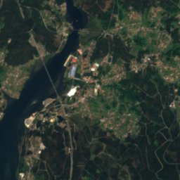
Sar River from above
Nature nearbyAll of Spain
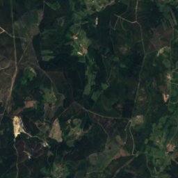
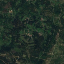
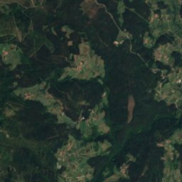
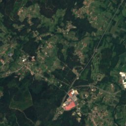
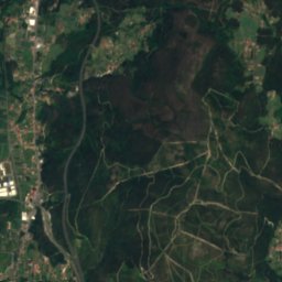
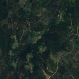
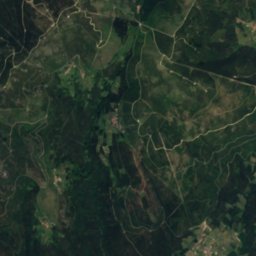
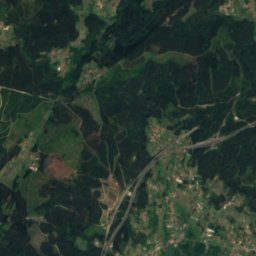
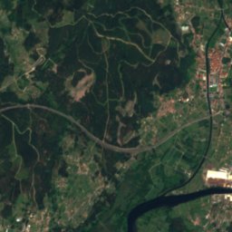
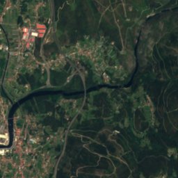
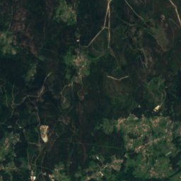
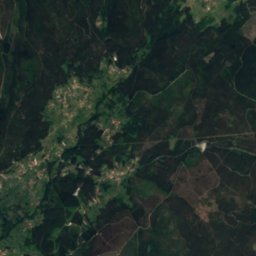
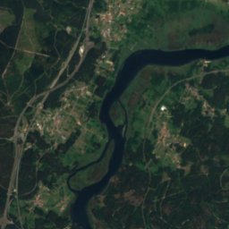
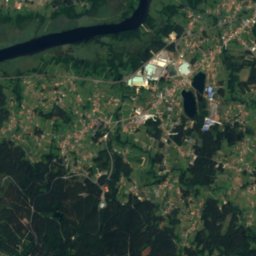
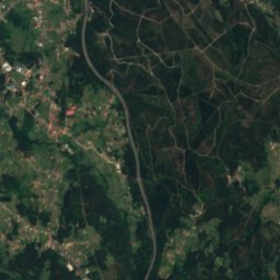
Satellite: Sentinel-2 cloudless 2016 by EOX IT Services GmbH · CC BY 4.0 · Contains modified Copernicus Sentinel data 2016

Photo: Little Social Projects · CC BY-SA 4.0 · Wikimedia CommonsReport this photo · linked, not stored
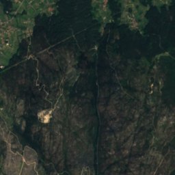
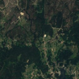
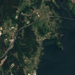
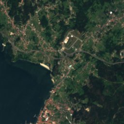
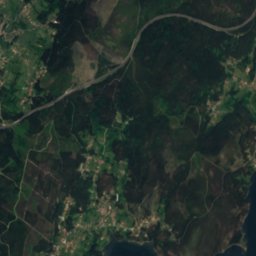
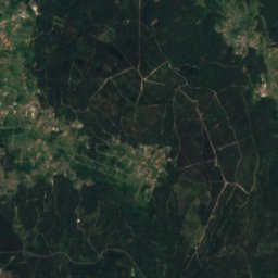
Satellite: Sentinel-2 cloudless 2016 by EOX IT Services GmbH · CC BY 4.0 · Contains modified Copernicus Sentinel data 2016
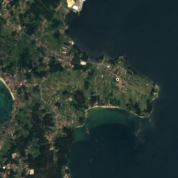
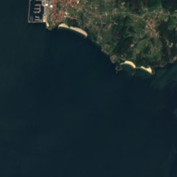
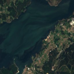
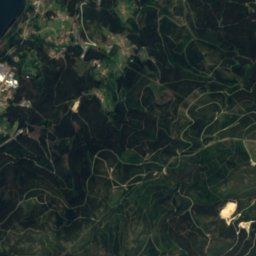
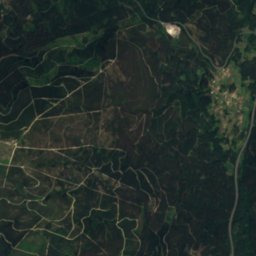
Satellite: Sentinel-2 cloudless 2016 by EOX IT Services GmbH · CC BY 4.0 · Contains modified Copernicus Sentinel data 2016
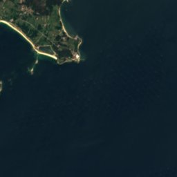
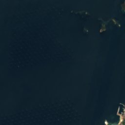
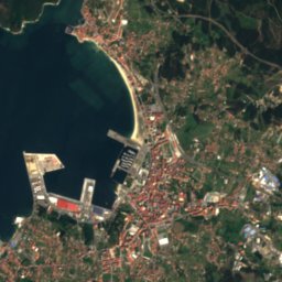
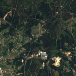
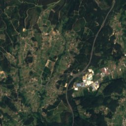
Satellite: Sentinel-2 cloudless 2016 by EOX IT Services GmbH · CC BY 4.0 · Contains modified Copernicus Sentinel data 2016

Summits nearbyMountains of Spain


Photo: Luis Miguel Bugallo Sánchez (http://commons.wikimedia.org/wiki/User:Lmbuga) · CC BY-SA 3.0 · Wikimedia CommonsReport this photo · linked, not stored

Photo: Luis Miguel Bugallo Sánchez (Lmbuga) · CC BY-SA 3.0 · Wikimedia CommonsReport this photo · linked, not stored

Stay nearby
Towns close by


Photo: Luis Miguel Bugallo Sánchez [http://commons.wikimedia.org/wiki/User:Lmbuga http: · CC BY-SA 3.0 · Wikimedia CommonsReport this photo · linked, not stored
Puentecesures
Galicia · 1.7 km E
21°Oct high
14wet days
62score

Photo: RiseRover (talk) (Uploads) · Public domain · Wikimedia CommonsReport this photo · linked, not stored
Padrón
Galicia · 2.2 km N
21°Oct high
14wet days
62score

Photo: http://gl.wikipedia.org/w/index.php?title=User:Lameiro · Public domain · Wikimedia CommonsReport this photo · linked, not stored
Valga
Galicia · 3.5 km SE
21°Oct high
14wet days
62score
Around here
Dodro and around
Nature

Photo: Ismael Alonso Tubío (gl:User:Ambiorix) · Public domain · Wikimedia CommonsReport this photo · linked, not stored
Te River
River

Photo: Iago Casabiell González · CC BY-SA 4.0 · Wikimedia CommonsReport this photo · linked, not stored
Barcala River
River · 350 m
Mountains
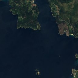
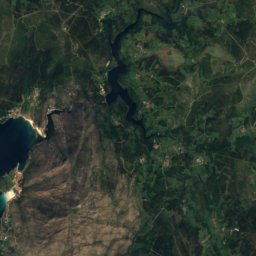
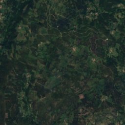
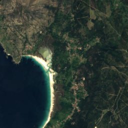
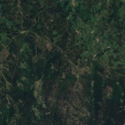
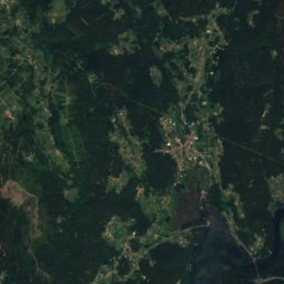
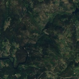
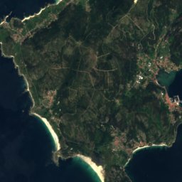
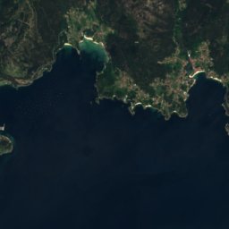
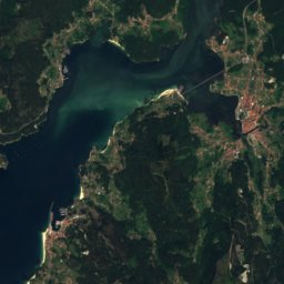
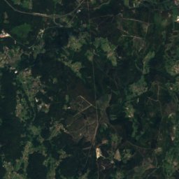
Satellite: Sentinel-2 cloudless 2016 by EOX IT Services GmbH · CC BY 4.0 · Contains modified Copernicus Sentinel data 2016
Tremuzo
531 m · Galician Massif
Photo: Luis Miguel Bugallo Sánchez (http://commons.wikimedia.org/wiki/User:Lmbuga) · CC BY-SA 3.0 · Wikimedia CommonsReport this photo · linked, not stored
Pico Sacro
490 m · Galician Massif
Heritage
Satellite: Sentinel-2 cloudless 2016 by EOX IT Services GmbH · CC BY 4.0 · Contains modified Copernicus Sentinel data 2016
Lestrobe Towers
bien de interés cultural

Photo: Jose Antonio Gil Martínez. FREECAT from Vigo · CC BY 2.0 · Wikimedia CommonsReport this photo · linked, not stored
Torres de Oeste
bien de interés cultural

Photo: Luis Miguel Bugallo Sánchez (Lmbuga Commons)(Lmbuga Galipedia) · CC BY-SA 3.0 · Wikimedia CommonsReport this photo · linked, not stored
Monastery of San Xusto de Toxosoutos
bien de interés cultural
Museums


Casa Museo da Fundación Camilo José Cela
Historic house museum


Satellite: Sentinel-2 cloudless 2016 by EOX IT Services GmbH · CC BY 4.0 · Contains modified Copernicus Sentinel data 2016
Museo da Historia de Valga
History museum