
 Noceda

Photo: Gabriel Fdez. · CC BY 2.0 · Wikimedia Commons
Bárcena ReservoirReport this photo · linked, not stored
Bárcena ReservoirBárcena ReservoirReport this photo · linked, not stored

Photo: Meroveo · CC BY-SA 3.0 · Wikimedia Commons
Villameca ReservoirReport this photo · linked, not stored
Villameca ReservoirVillameca ReservoirReport this photo · linked, not stored

Photo: Tanja Freibott · CC BY-SA 4.0 · Wikimedia Commons
Pico CatouteReport this photo · linked, not stored
Pico CatoutePico CatouteReport this photo · linked, not stored
RiverTorre del Bierzo, Castille and León
Boeza
RiverBest Jun–Jul · Sep
Elevation–above sea level
Length62 kmsource to mouth
Nearest townTorre del Bierzo2.3 km
42.62° N, 6.34° WUTC+2 · Central European Summer Time
When to goTorre del Bierzo · weather score
Best timeJun–Jul · Sep
October: high / low19° / 7°
River
Boeza in brief
Boeza is a river in Torre del Bierzo, Castille and León, Spain.
The nearest town in the atlas is Torre del Bierzo, 2.3 km to the SW, where the weather is best in June, July and September.
Boeza is 62 km long.
Weather nearby now
Forecast for Torre del Bierzo15°
Cloudy now
Today
22 Oct
17°
3°
Fri
23 Oct
15°
6°
1 mm
Sat
24 Oct
19°
3°
Sun
25 Oct
19°
7°
Mon
26 Oct
22°
7°
Model run 00:00 UTCRefreshed several times a day
The course of the river
As mapped in OpenStreetMap, with the towns of the atlas along its banks.- 1Igüeña913 m
- 2Folgoso de la Ribera776 m
- 3Torre del Bierzo700 m
- 4Castropodame746 m
- 5Santo Tomás de las Ollas602 m
- 6Ponferrada519 m
sourcemouth (or where the mapped line leaves the country)
When to go
Climate of Torre del BierzoThe best months around Boeza
Month score in Torre del Bierzo
Comfort, dry days and sunshine · out of 10018
Jan
28
Feb
44
Mar
58
Apr
70
May
77
Jun
71
Jul
68
Aug
81
Sep
65
Oct
30
Nov
18
Dec
Map
Boeza from above
Nature nearbyAll of Spain


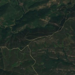
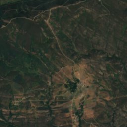
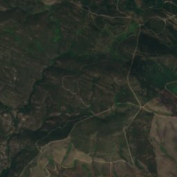
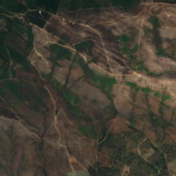
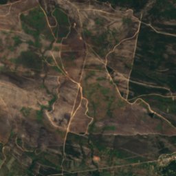
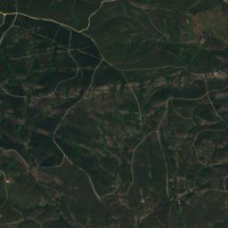
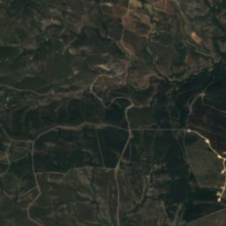
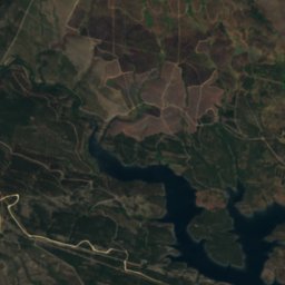
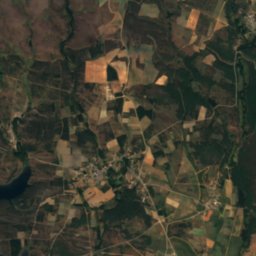
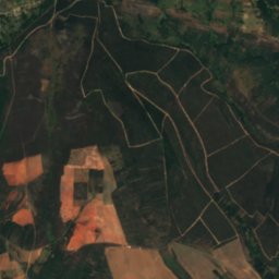
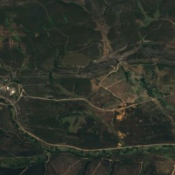
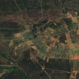
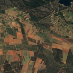
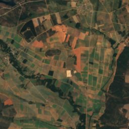
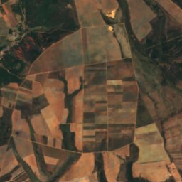
Satellite: Sentinel-2 cloudless 2016 by EOX IT Services GmbH · CC BY 4.0 · Contains modified Copernicus Sentinel data 2016
Summits nearbyMountains of Spain

Stay nearby
Towns close by


Around here
Torre del Bierzo and around

Torre del Bierzo
Castille and León · Spain
Jun–Jul · Sepbest months
29°July high
700 maltitude
Nature

Mountains


Photo: Pablo Pereira González · CC BY-SA 4.0 · Wikimedia CommonsReport this photo · linked, not stored
Tambarón
2,102 m · Sierra de Gistredo
Heritage

Monastery of San Miguel de las Dueñas
bien de interés cultural
Satellite: Sentinel-2 cloudless 2016 by EOX IT Services GmbH · CC BY 4.0 · Contains modified Copernicus Sentinel data 2016
Monasterio de San Juan de Montealegre
Red List of Endangered Heritage item
Museums

Satellite: Sentinel-2 cloudless 2016 by EOX IT Services GmbH · CC BY 4.0 · Contains modified Copernicus Sentinel data 2016
Museum "Alto Bierzo"




Satellite: Sentinel-2 cloudless 2016 by EOX IT Services GmbH · CC BY 4.0 · Contains modified Copernicus Sentinel data 2016
Brañuelas Railway Museum
Railway museum · 2017