
Photo: Pablo Pereira González · CC BY-SA 4.0 · Wikimedia Commons
TambarónReport this photo · linked, not stored
TambarónReport this photo · linked, not stored

Photo: Tanja Freibott · CC BY-SA 4.0 · Wikimedia Commons
Pico CatouteReport this photo · linked, not stored
Pico CatoutePico CatouteReport this photo · linked, not stored
Sierra de Gistredo · Castille and León · SpainSummit weather, forecast and climate
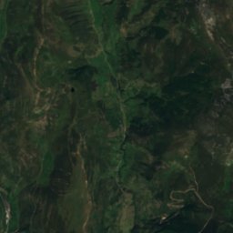
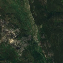
Tambarón
2,102 mSnow likely Jan–Mar · Dec
Elevation2,102 mabove sea level
Prominence–independent height
Isolation5.7 kmto a higher summit
Summit, Jul18°average high
42.84° N, 6.27° WElevation 2,102 mUTC+2 · Central European Summer Time
From the valley to the top
- Summit2,102 m
- Mid-mountain1,680 m
- Valley · Murias de Paredes1,256 m
Freezing level in October: above the summit
iThe mountain
Tambarón in brief
Tambarón rises to 2,102 m in the Sierra de Gistredo, Castille and León, Spain.
At the summit, July is the mildest month with average highs of 18°, while nights fall below freezing in 6 months of the year.
The nearest town in the atlas is Murias de Paredes, 6.9 km to the E at 1,256 m.
Facts
- Elevation
- 2,102 m · 6,896 ft
- Range
- Sierra de Gistredo
- Region
- Castille and León
- Country
- Spain
- Coordinates
- 42.8383, -6.2742
- Nearest airport
- León Airport (LEN) · 58 km
iiForecast
Weather at three heights
Temperatures are adjusted to each height; summits are usually colder and windier than the valley forecast suggests.
Loading the latest forecast…
Loading the latest forecast…
Loading the latest forecast…
iiiSummit climate
The top of Tambarón by month
Summit temperatures and precipitation
Climate normals for the summit area (~1 km grid), station-adjusted| Month | Jan | Feb | Mar | Apr | May | Jun | Jul | Aug | Sep | Oct | Nov | Dec |
|---|---|---|---|---|---|---|---|---|---|---|---|---|
| Average high | 1° | 2° | 5° | 6° | 10° | 15° | 18° | 18° | 15° | 10° | 4° | 2° |
| Average low | -5° | -5° | -3° | -2° | 1° | 5° | 7° | 7° | 5° | 2° | -2° | -4° |
| Precipitation | 161 mm | 136 mm | 125 mm | 126 mm | 121 mm | 70 mm | 46 mm | 45 mm | 93 mm | 174 mm | 185 mm | 231 mm |
| Cloud cover | 58% | 52% | 49% | 51% | 46% | 34% | 24% | 25% | 35% | 50% | 58% | 60% |
| Daylight | 9h 22 | 10h 33 | 11h 53 | 13h 22 | 14h 38 | 15h 19 | 15h 02 | 13h 57 | 12h 32 | 11h 06 | 9h 46 | 9h 03 |
| Month score | 13 | 16 | 17 | 16 | 18 | 63 | 87 | 85 | 54 | 17 | 13 | 13 |
Snow and freezing level
Average height of the 0 °C level from the summit normals (6.5 °C per km); snow months have a summit mean at or below +1 °C| Month | Jan | Feb | Mar | Apr | May | Jun | Jul | Aug | Sep | Oct | Nov | Dec |
|---|---|---|---|---|---|---|---|---|---|---|---|---|
| Freezing level | 1,850 m | 1,950 m | 2,250 m | 2,450 m | 2,950 m | 3,600 m | 4,000 m | 4,000 m | 3,650 m | 3,000 m | 2,250 m | 2,000 m |
| Summit | ❄ snow | ❄ snow | ❄ snow | above 0 °C | above 0 °C | above 0 °C | above 0 °C | above 0 °C | above 0 °C | above 0 °C | above 0 °C | ❄ snow |
ivTerrain
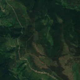
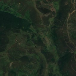
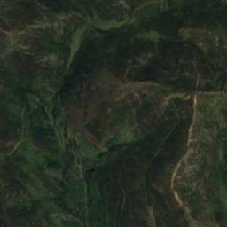
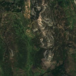
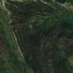
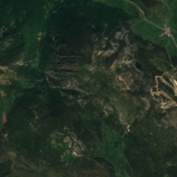
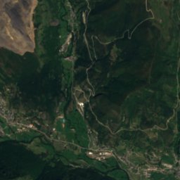
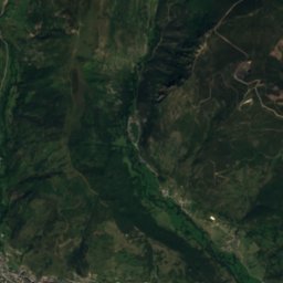
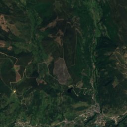
Tambarón in 3D
vNeighbours
Mountains of SpainPeaks nearby
| Mountain | Elevation | Prominence | Distance | July summit high |
|---|---|---|---|---|
| Pico Catoute | 2,112 m | – | 5.7 km SW | 18° |
viBase towns
Where to stay nearby

Photo: José Luis Álvarez Menéndez · CC BY-SA 4.0 · Wikimedia CommonsReport this photo · linked, not stored
Villablino
Castille and León · 12 km N
18°Oct high
13wet days
64score


Around here
Murias de Paredes and around

Murias de Paredes
Castille and León · Spain
Jul–Sepbest months
24°July high
1,256 maltitude
Nature




Mountains
Heritage


Colinas del Campo de Martín Moro Toledano
bien de interés cultural