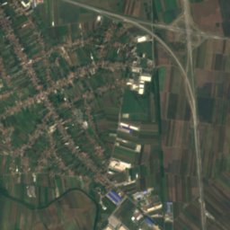
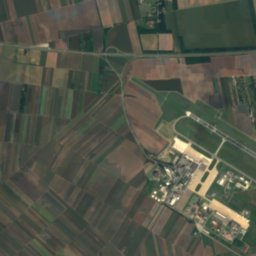
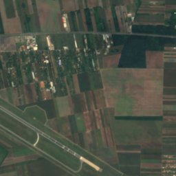
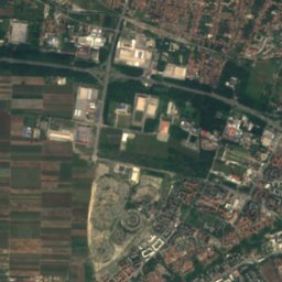
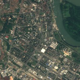
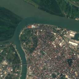
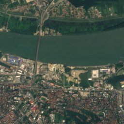
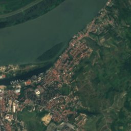
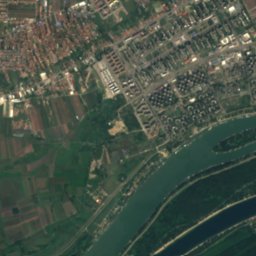
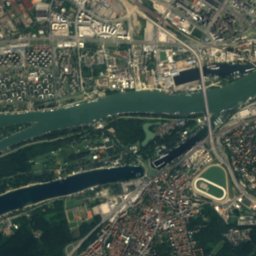
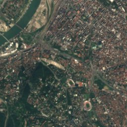
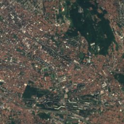
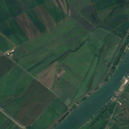
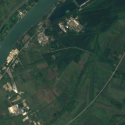
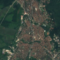
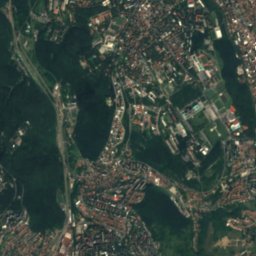
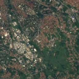
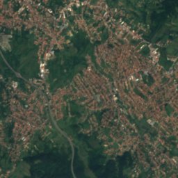
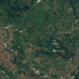
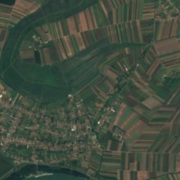
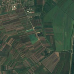
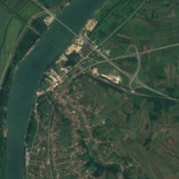
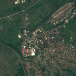
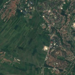
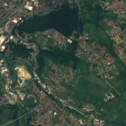
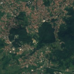
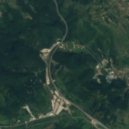
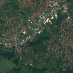
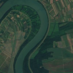
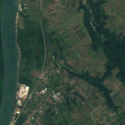
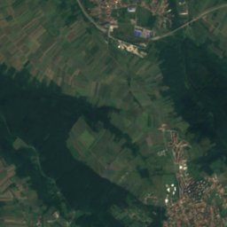
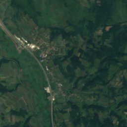
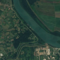
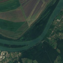
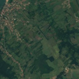
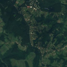
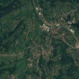
Satellite: Sentinel-2 cloudless 2016 by EOX IT Services GmbH · CC BY 4.0 · Contains modified Copernicus Sentinel data 2016

Photo: Nikola Smolenski · CC BY-SA 3.0 rs · Wikimedia Commons
TopčiderkaReport this photo · linked, not stored
TopčiderkaTopčiderkaReport this photo · linked, not stored

Photo: Goran Anđelić · CC BY-SA 4.0 · Wikimedia Commons
Ada MeđicaReport this photo · linked, not stored
Ada MeđicaAda MeđicaReport this photo · linked, not stored

Photo: Nikola Smolenski · CC BY-SA 3.0 rs · Wikimedia Commons
Mokroluški potokReport this photo · linked, not stored
Mokroluški potokMokroluški potokReport this photo · linked, not stored

Photo: Erwan Martin · CC BY 2.0 · Wikimedia Commons
Malo Ratno OstrvoReport this photo · linked, not stored
Malo Ratno OstrvoMalo Ratno OstrvoReport this photo · linked, not stored
RiverRakovica, Central Serbia
Rakovički potok
RiverBest Apr · Sep–Oct
Elevation–above sea level
Length85 kmsource to mouth
Nearest townRakovica0.7 km
44.74° N, 20.43° EUTC+2 · Central European Summer Time
When to goRakovica · weather score
Best timeApr · Sep–Oct
October: high / low19° / 9°
River
Rakovički potok in brief
Rakovički potok is a river in Rakovica, Central Serbia, Serbia.
The nearest town in the atlas is Rakovica, 0.7 km to the NE, where the weather is best in April, September and October.
Rakovički potok is 85 km long.
Weather nearby now
Forecast for Rakovica17°
Cloudy now
Today
22 Oct
18°
12°
6 mm
Fri
23 Oct
17°
9°
1 mm
Sat
24 Oct
21°
9°
Sun
25 Oct
15°
9°
Mon
26 Oct
16°
9°
Model run 00:00 UTCRefreshed several times a day
Map
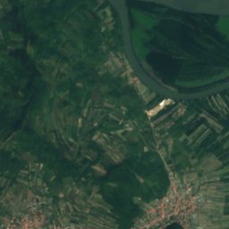
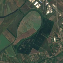
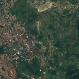
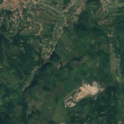
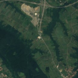
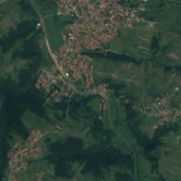
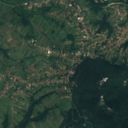
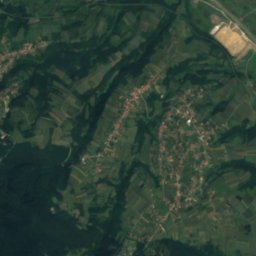
Rakovički potok from above
Nature nearbyAll of Serbia


Satellite: Sentinel-2 cloudless 2016 by EOX IT Services GmbH · CC BY 4.0 · Contains modified Copernicus Sentinel data 2016

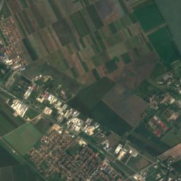
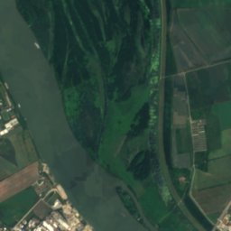
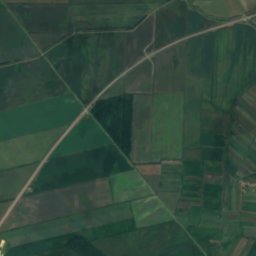
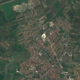
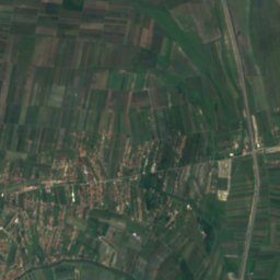
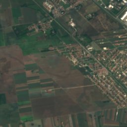
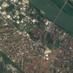
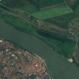
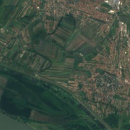
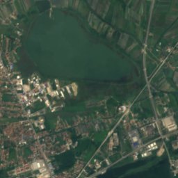
Satellite: Sentinel-2 cloudless 2016 by EOX IT Services GmbH · CC BY 4.0 · Contains modified Copernicus Sentinel data 2016
Summits nearbyMountains of Serbia

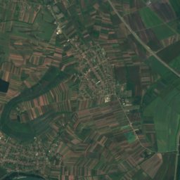
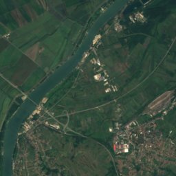
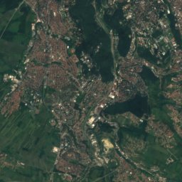
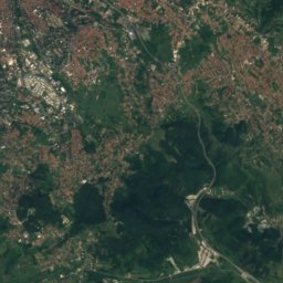
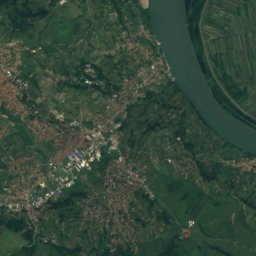
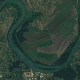
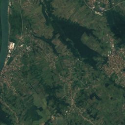
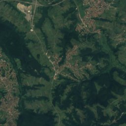
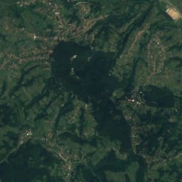
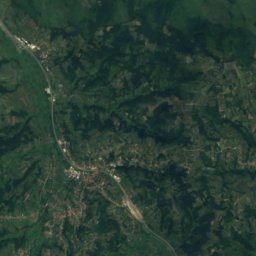
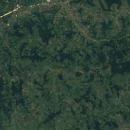
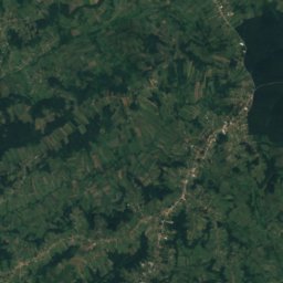
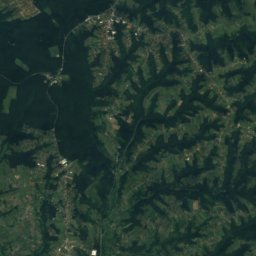
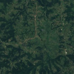
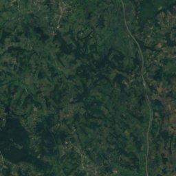
Satellite: Sentinel-2 cloudless 2016 by EOX IT Services GmbH · CC BY 4.0 · Contains modified Copernicus Sentinel data 2016
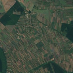
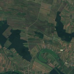
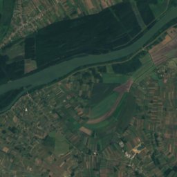
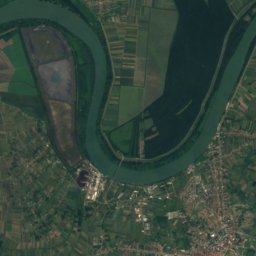
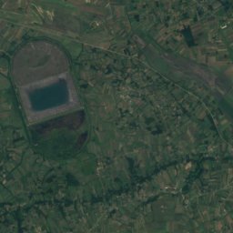
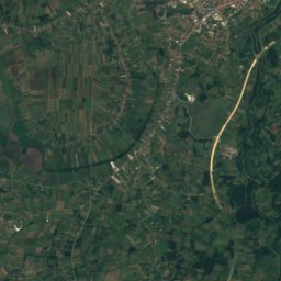
Satellite: Sentinel-2 cloudless 2016 by EOX IT Services GmbH · CC BY 4.0 · Contains modified Copernicus Sentinel data 2016
Stay nearby
Towns close by

Photo: Wikipedia user Sone2sone · CC BY-SA 3.0 · Wikimedia CommonsReport this photo · linked, not stored
Rakovica
Central Serbia · 0.7 km NE
19°Oct high
8wet days
79score


Photo: The original uploader was Stankov12 at Bulgarian Wikipedia. · CC BY 2.5 · Wikimedia CommonsReport this photo · linked, not stored
Železnik
Central Serbia · 5.0 km W
19°Oct high
8wet days
79score

Photo: Gmihail at Serbian Wikipedia · CC BY-SA 3.0 rs · Wikimedia CommonsReport this photo · linked, not stored
Čukarica
Central Serbia · 5.1 km N
19°Oct high
8wet days
79score
Around here
Rakovica and around
Photo: Wikipedia user Sone2sone · CC BY-SA 3.0 · Wikimedia CommonsReport this photo · linked, not stored
Rakovica
Central Serbia · Serbia
Apr · Sep–Octbest months
29°July high
98 maltitude
Nature
Satellite: Sentinel-2 cloudless 2016 by EOX IT Services GmbH · CC BY 4.0 · Contains modified Copernicus Sentinel data 2016
Rakina bara
Lake
Mountains
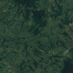
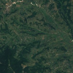
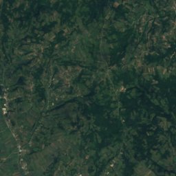
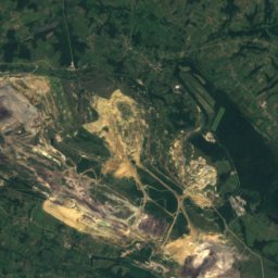
Satellite: Sentinel-2 cloudless 2016 by EOX IT Services GmbH · CC BY 4.0 · Contains modified Copernicus Sentinel data 2016
Kosmaj
628 m

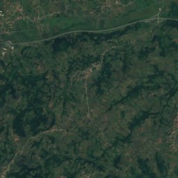
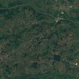
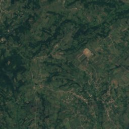
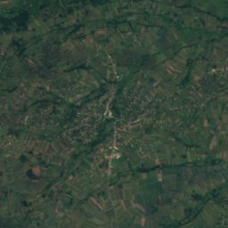
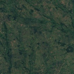
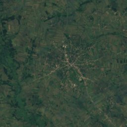
Satellite: Sentinel-2 cloudless 2016 by EOX IT Services GmbH · CC BY 4.0 · Contains modified Copernicus Sentinel data 2016
Žuto Brdo, Selo Mladenovac
320 m
Heritage


Photo: Nimrod88 at English Wikipedia · CC BY-SA 3.0 · Wikimedia CommonsReport this photo · linked, not stored
Cerak Vinogradi
Spatial Cultural-Historical Unit


