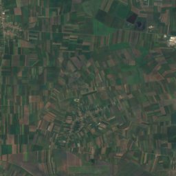
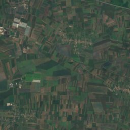
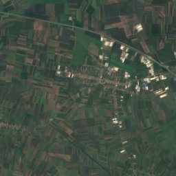
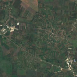
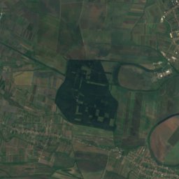
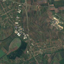
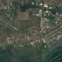
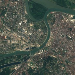
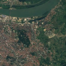
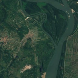
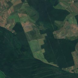
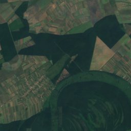
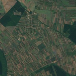
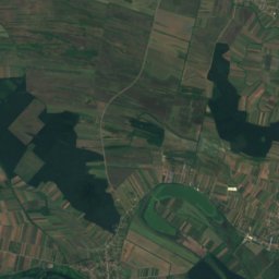
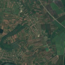
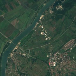
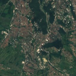
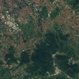
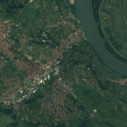
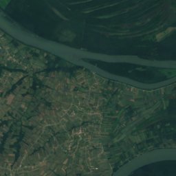
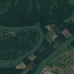
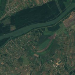
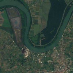
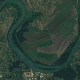
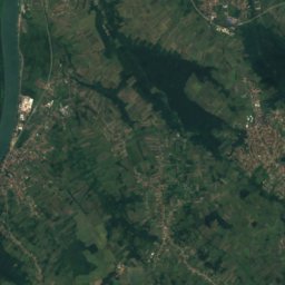
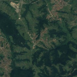
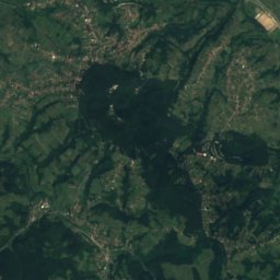
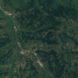
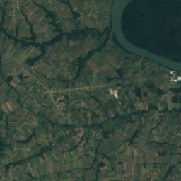
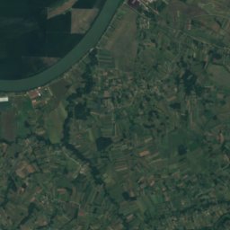
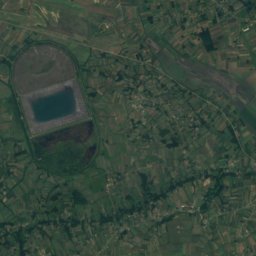
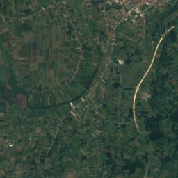
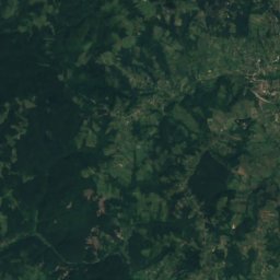
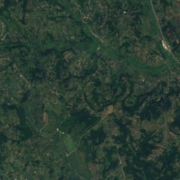
Satellite: Sentinel-2 cloudless 2016 by EOX IT Services GmbH · CC BY 4.0 · Contains modified Copernicus Sentinel data 2016
 Avala
Central Serbia · SerbiaSummit weather, forecast and climate
Umnjanski Vis
122 m
Elevation122 mabove sea level
Prominence–independent height
Isolation13 kmto a higher summit
Summit, Jul29°average high
44.66° N, 20.34° EElevation 122 mUTC+2 · Central European Summer Time
From the valley to the top
- Summit122 m
- Mid-mountain60 m
- Valley0 m
Freezing level in October: above the summit
iThe mountain
Umnjanski Vis in brief
Umnjanski Vis rises to 122 m, Central Serbia, Serbia.
At the summit, August is the mildest month with average highs of 29°, while nights fall below freezing in 1 months of the year.
The nearest town in the atlas is Velika Moštanica, 1.6 km to the NE at 200 m.
Facts
- Elevation
- 122 m · 400 ft
- Region
- Central Serbia
- Country
- Serbia
- Coordinates
- 44.6572, 20.3364
- Nearest airport
- Belgrade Nikola Tesla Airport (BEG) · 18 km
iiForecast
Weather at three heights
Temperatures are adjusted to each height; summits are usually colder and windier than the valley forecast suggests.
Loading the latest forecast…
Loading the latest forecast…
Loading the latest forecast…
iiiSummit climate
The top of Umnjanski Vis by month
Summit temperatures and precipitation
Climate normals for the summit area (~1 km grid), station-adjusted| Month | Jan | Feb | Mar | Apr | May | Jun | Jul | Aug | Sep | Oct | Nov | Dec |
|---|---|---|---|---|---|---|---|---|---|---|---|---|
| Average high | 5° | 8° | 13° | 19° | 23° | 27° | 29° | 29° | 24° | 19° | 12° | 6° |
| Average low | -1° | 0° | 4° | 8° | 13° | 16° | 18° | 18° | 13° | 9° | 5° | 0° |
| Precipitation | 48 mm | 40 mm | 55 mm | 57 mm | 60 mm | 99 mm | 65 mm | 64 mm | 62 mm | 54 mm | 59 mm | 58 mm |
| Cloud cover | 50% | 45% | 42% | 39% | 34% | 29% | 21% | 20% | 29% | 34% | 44% | 50% |
| Daylight | 9h 11 | 10h 27 | 11h 52 | 13h 27 | 14h 48 | 15h 33 | 15h 15 | 14h 05 | 12h 34 | 11h 02 | 9h 37 | 8h 50 |
| Month score | 36 | 41 | 54 | 81 | 82 | 66 | 65 | 64 | 83 | 83 | 47 | 34 |
Snow and freezing level
Average height of the 0 °C level from the summit normals (6.5 °C per km); snow months have a summit mean at or below +1 °C| Month | Jan | Feb | Mar | Apr | May | Jun | Jul | Aug | Sep | Oct | Nov | Dec |
|---|---|---|---|---|---|---|---|---|---|---|---|---|
| Freezing level | 450 m | 750 m | 1,400 m | 2,150 m | 2,900 m | 3,400 m | 3,700 m | 3,750 m | 3,000 m | 2,250 m | 1,400 m | 600 m |
| Summit | above 0 °C | above 0 °C | above 0 °C | above 0 °C | above 0 °C | above 0 °C | above 0 °C | above 0 °C | above 0 °C | above 0 °C | above 0 °C | above 0 °C |
ivTerrain
Umnjanski Vis in 3D
vNeighbours
Mountains of SerbiaPeaks nearby
| Mountain | Elevation | Prominence | Distance | July summit high |
|---|---|---|---|---|
| Avala | 511 m | – | 15 km E | 27° |
| Mali Vis | 274 m | – | 13 km E | 29° |
| Žuto Brdo, Stojnik | 206 m | – | 25 km SE | 28° |
viBase towns
Where to stay nearby

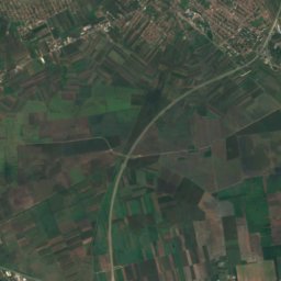
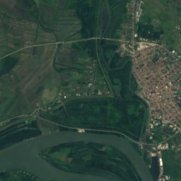
Satellite: Sentinel-2 cloudless 2016 by EOX IT Services GmbH · CC BY 4.0 · Contains modified Copernicus Sentinel data 2016
Mala Moštanica
Central Serbia · 3.2 km SW
19°Oct high
8wet days
79score

Around here
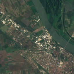
Velika Moštanica and around

Velika Moštanica
Central Serbia · Serbia
Apr · Sep–Octbest months
29°July high
200 maltitude
Nature
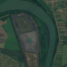
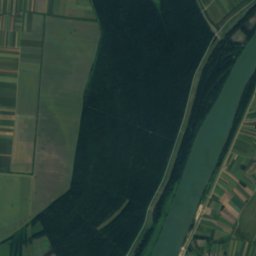
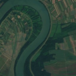
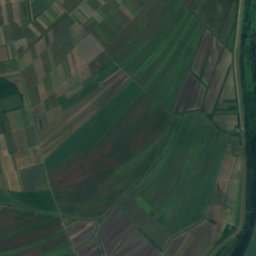
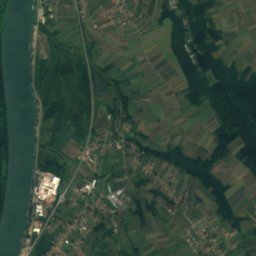
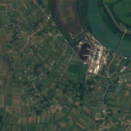
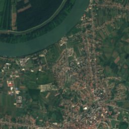
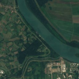
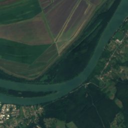
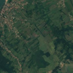
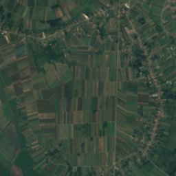
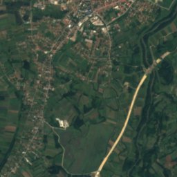
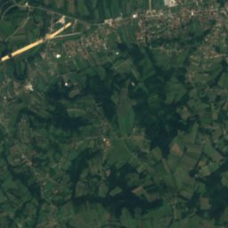
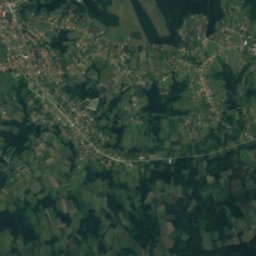
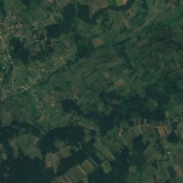
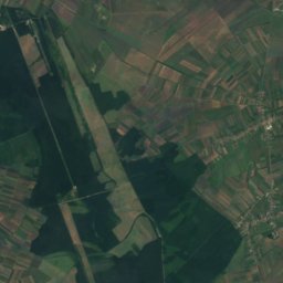
Satellite: Sentinel-2 cloudless 2016 by EOX IT Services GmbH · CC BY 4.0 · Contains modified Copernicus Sentinel data 2016
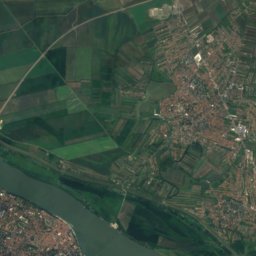
Kolubara
River
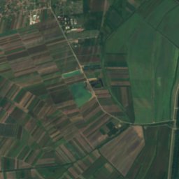
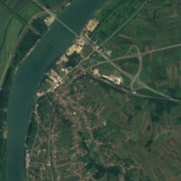
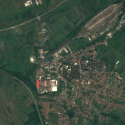
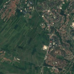
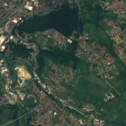
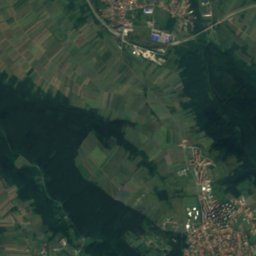
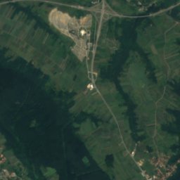
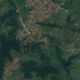
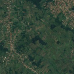
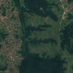
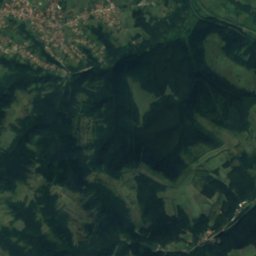
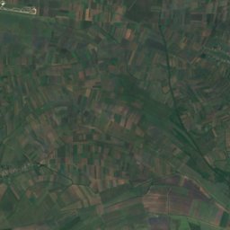
Satellite: Sentinel-2 cloudless 2016 by EOX IT Services GmbH · CC BY 4.0 · Contains modified Copernicus Sentinel data 2016
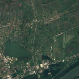
Rakina bara
Lake
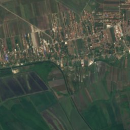
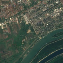
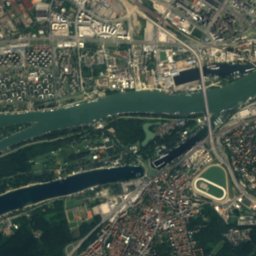
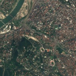
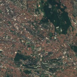
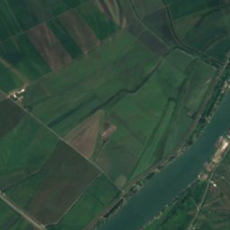
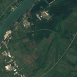
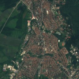
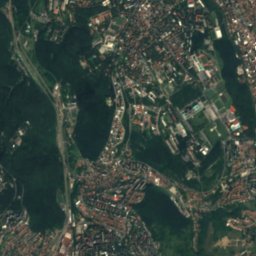
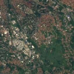
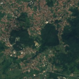
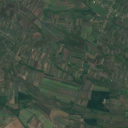
Satellite: Sentinel-2 cloudless 2016 by EOX IT Services GmbH · CC BY 4.0 · Contains modified Copernicus Sentinel data 2016
Rakovički potok
River
Mountains
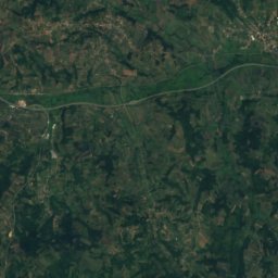
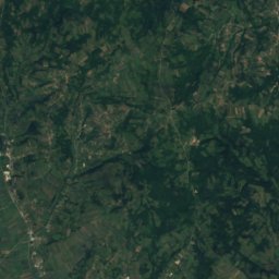
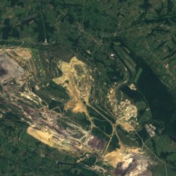
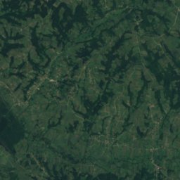
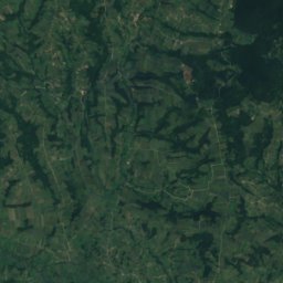
Satellite: Sentinel-2 cloudless 2016 by EOX IT Services GmbH · CC BY 4.0 · Contains modified Copernicus Sentinel data 2016
Kosmaj
628 m
Satellite: Sentinel-2 cloudless 2016 by EOX IT Services GmbH · CC BY 4.0 · Contains modified Copernicus Sentinel data 2016
Žuto Brdo, Selo Mladenovac
320 m
Heritage

Crkva Rođenja presvete Bogorodice, Velika Moštanica
Monument of Culture

Monument to the Unknown Hero
Immovable Cultural Heritage of Exceptional Importance · 1938

Church of the Holy Apostles Peter and Paul, Savski Venac
Immovable Cultural Heritage of Exceptional Importance · 1834
Museums

Memorial Museum of the Parish House in Vranić
1995


