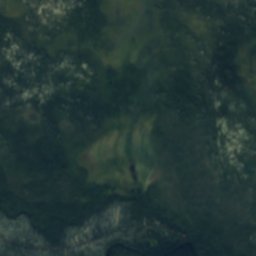
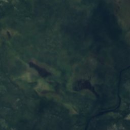
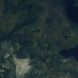
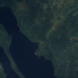
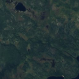
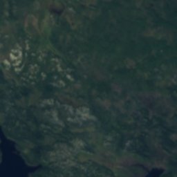
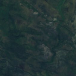
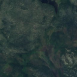
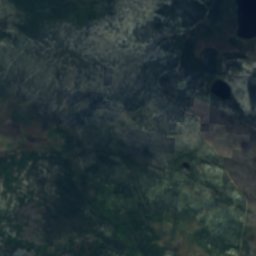
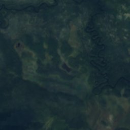
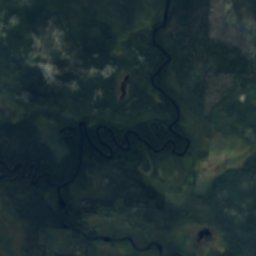
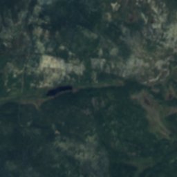
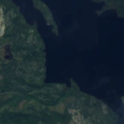
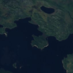
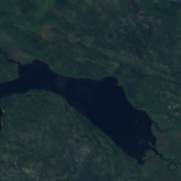
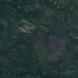
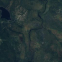
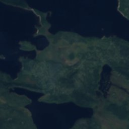
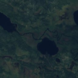
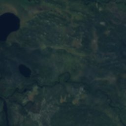
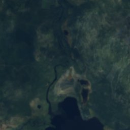
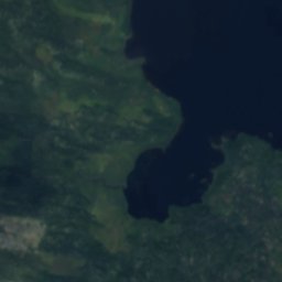
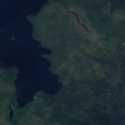
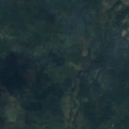
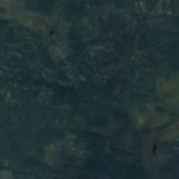
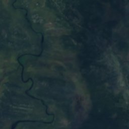
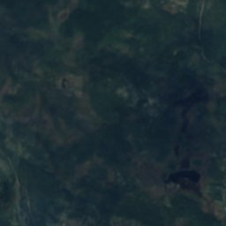
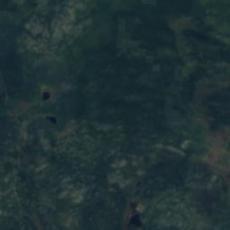
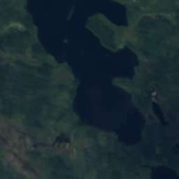
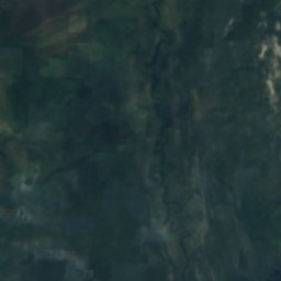
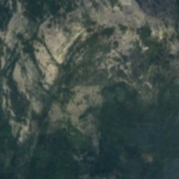
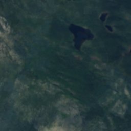
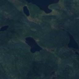
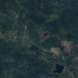
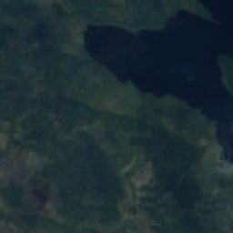
Satellite: Sentinel-2 cloudless 2016 by EOX IT Services GmbH · CC BY 4.0 · Contains modified Copernicus Sentinel data 2016

Photo: The-city-not-present (Andrey Putilov) · CC BY-SA 4.0 · Wikimedia Commons
Girvas, MurmanskReport this photo · linked, not stored
Girvas, MurmanskGirvas, MurmanskReport this photo · linked, not stored
RiverKovdor, Murmansk
Node
RiverBest Jun–Aug
Elevation–above sea level
Length21 kmsource to mouth
Nearest townKovdor23 km
67.76° N, 30.33° EUTC+3 · Moscow Standard Time
When to goKovdor · weather score
Best timeJun–Aug
October: high / low2° / -2°
River
Node in brief
Node is a river in Kovdor, Murmansk, Russia.
The nearest town is Kovdor, 23 km to the S, where the weather is best in June, July and August.
Node is 21 km long.
Weather nearby now
Forecast for Kovdor3°
Cloudy now
Today
25 Oct
5°
2°
Mon
26 Oct
7°
3°
2 mm
Tue
27 Oct
7°
5°
3 mm
Wed
28 Oct
9°
5°
3 mm
Thu
29 Oct
8°
5°
1 mm
Model run 12:00 UTCRefreshed several times a day
Map
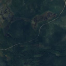
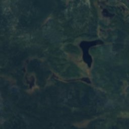
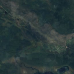
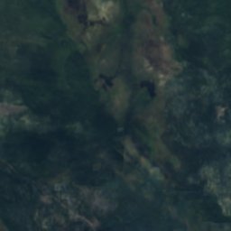
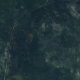
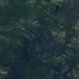
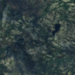
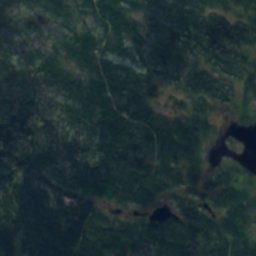
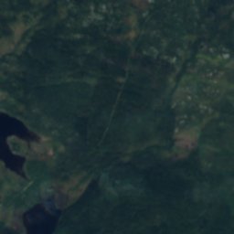
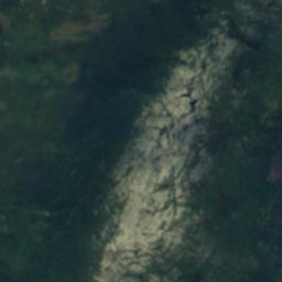
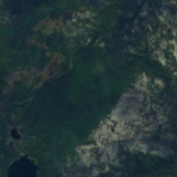
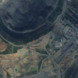
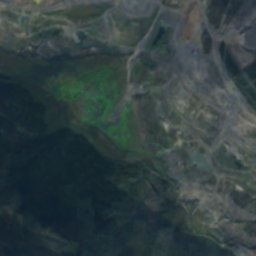
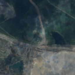
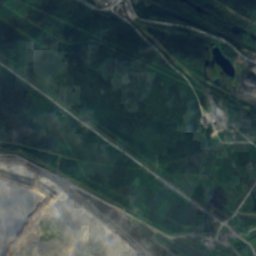
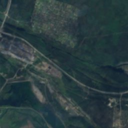
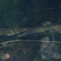
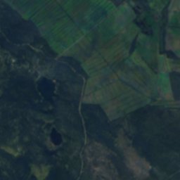
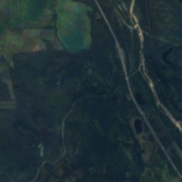
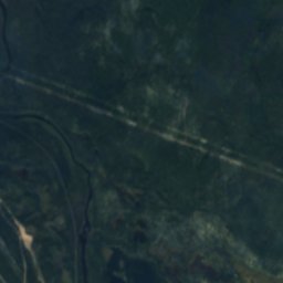
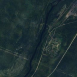
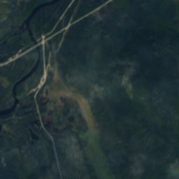
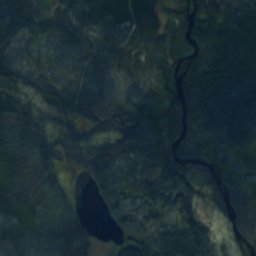
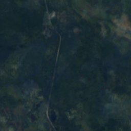
Node from above
Nature nearbyAll of Russia

Photo: The-city-not-present (Andrey Putilov) · CC BY-SA 4.0 · Wikimedia CommonsReport this photo · linked, not stored
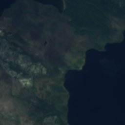
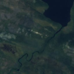
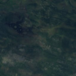
Satellite: Sentinel-2 cloudless 2016 by EOX IT Services GmbH · CC BY 4.0 · Contains modified Copernicus Sentinel data 2016
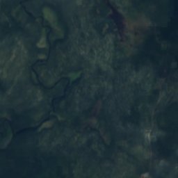
Satellite: Sentinel-2 cloudless 2016 by EOX IT Services GmbH · CC BY 4.0 · Contains modified Copernicus Sentinel data 2016
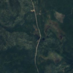
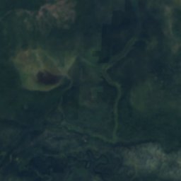
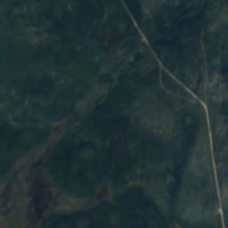
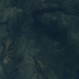
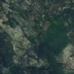
Satellite: Sentinel-2 cloudless 2016 by EOX IT Services GmbH · CC BY 4.0 · Contains modified Copernicus Sentinel data 2016
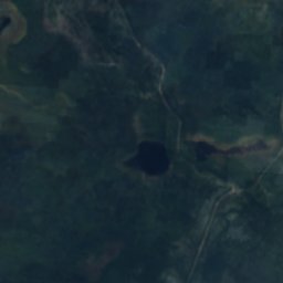
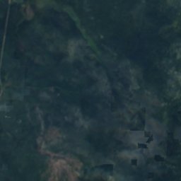
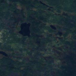
Satellite: Sentinel-2 cloudless 2016 by EOX IT Services GmbH · CC BY 4.0 · Contains modified Copernicus Sentinel data 2016
Around here
Kovdor and around

Nature

Museums


Satellite: Sentinel-2 cloudless 2016 by EOX IT Services GmbH · CC BY 4.0 · Contains modified Copernicus Sentinel data 2016
Kovdor district local history museum
1988