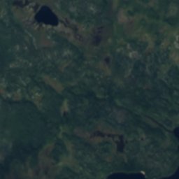
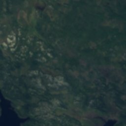
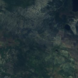
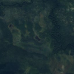
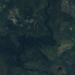
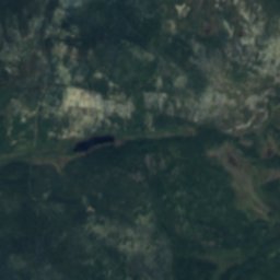
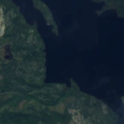
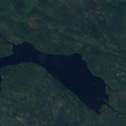
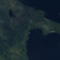
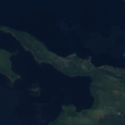
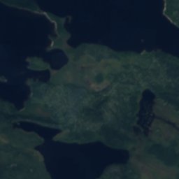
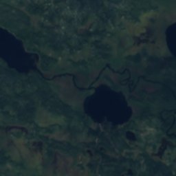
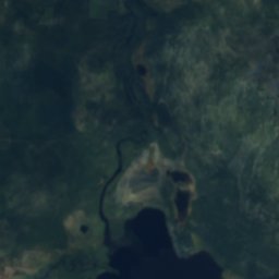
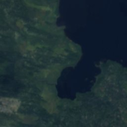
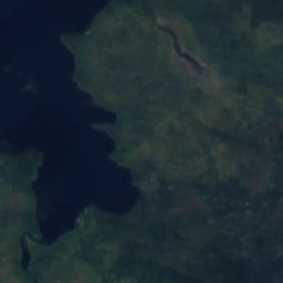
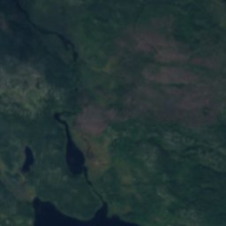
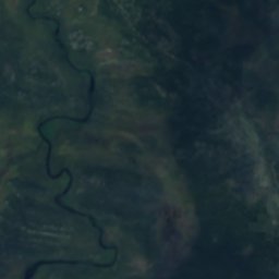
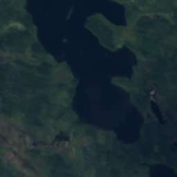
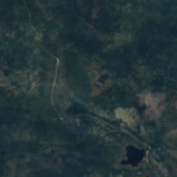
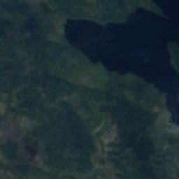
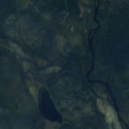
衛星: Sentinel-2 cloudless 2016(EOX IT Services GmbH) · CC BY 4.0 · 改変したCopernicus Sentinelデータ(2016年)を含みます

写真: The-city-not-present (Andrey Putilov) · CC BY-SA 4.0 · Wikimedia Commons
Girvas, Murmanskこの写真を報告 · リンクのみ、保存なし
Girvas, MurmanskGirvas, Murmanskこの写真を報告 · リンクのみ、保存なし
川Kovdor, ムルマンスク州
Node
川ベスト 6月–8月
標高–海抜
長さ21 km源流から河口まで
最寄りの地点Kovdor23 km
北緯67.76°、東経30.33°UTC+3 · モスクワ標準時
旅行時期Kovdor · 天気スコア
ベストシーズン6月–8月
10月:最高 / 最低2° / -2°
川
Node 概要
Nodeはロシア(ムルマンスク州)にある川です。
最も近い地点は、南に23 km離れたKovdorです。そこで天気が最も快適なのは6月、7月、8月です。
Nodeの長さは21 kmです。
周辺の現在の天気
Kovdorの天気予報4°
現在の天気:曇り
今日
10月25日
5°
2°
月
10月26日
7°
3°
2 mm
火
10月27日
7°
5°
3 mm
水
10月28日
9°
5°
3 mm
木
10月29日
8°
5°
1 mm
モデル計算時刻 12:00 UTC1 日に数回更新
地図
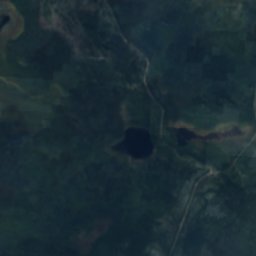
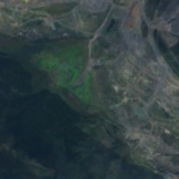
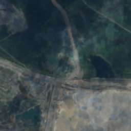
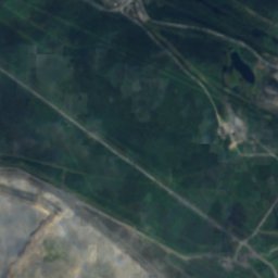
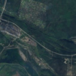
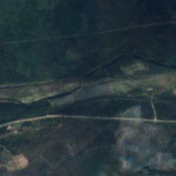
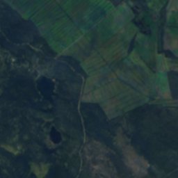
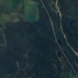
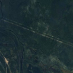
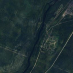
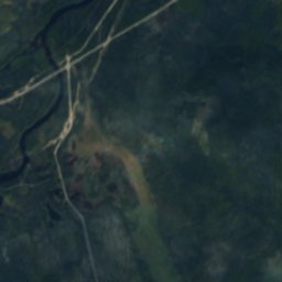
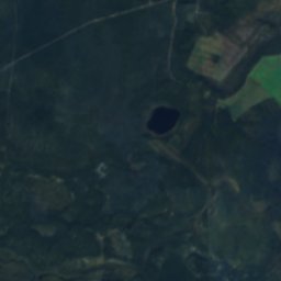
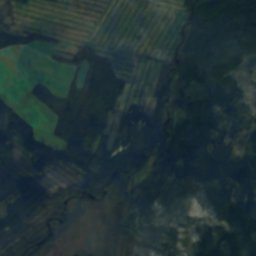
Node 上空から
周辺の自然全国

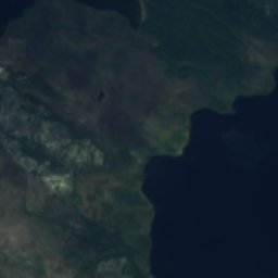
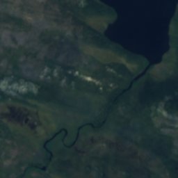
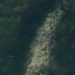
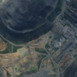
衛星: Sentinel-2 cloudless 2016(EOX IT Services GmbH) · CC BY 4.0 · 改変したCopernicus Sentinelデータ(2016年)を含みます
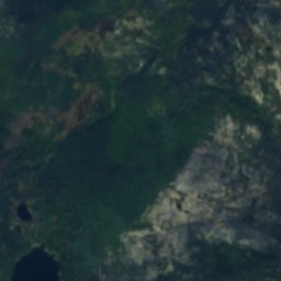
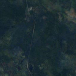
衛星: Sentinel-2 cloudless 2016(EOX IT Services GmbH) · CC BY 4.0 · 改変したCopernicus Sentinelデータ(2016年)を含みます
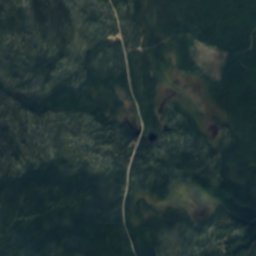
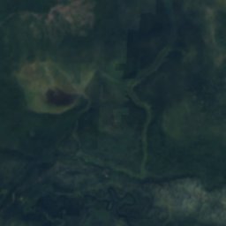
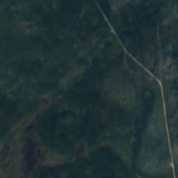
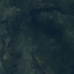
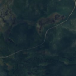
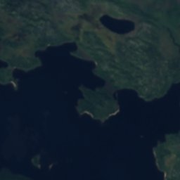
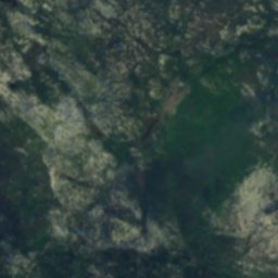
衛星: Sentinel-2 cloudless 2016(EOX IT Services GmbH) · CC BY 4.0 · 改変したCopernicus Sentinelデータ(2016年)を含みます
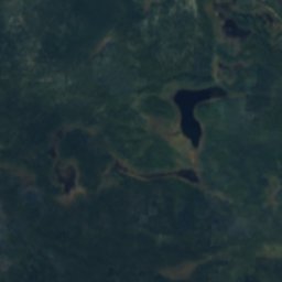
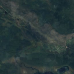
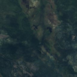
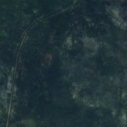
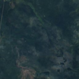
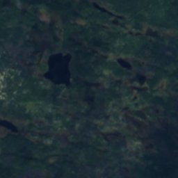
衛星: Sentinel-2 cloudless 2016(EOX IT Services GmbH) · CC BY 4.0 · 改変したCopernicus Sentinelデータ(2016年)を含みます
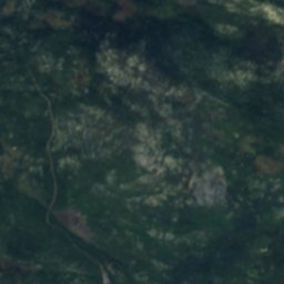
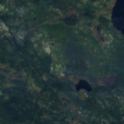
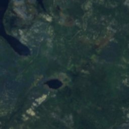
周辺
Kovdorとその周辺

自然

博物館・美術館


衛星: Sentinel-2 cloudless 2016(EOX IT Services GmbH) · CC BY 4.0 · 改変したCopernicus Sentinelデータ(2016年)を含みます
Kovdor district local history museum
1988