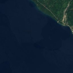
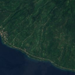
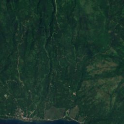
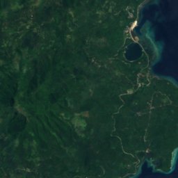
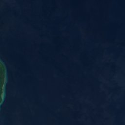






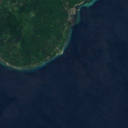
















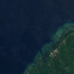
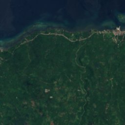
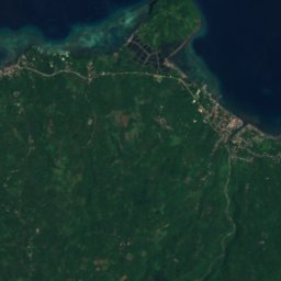
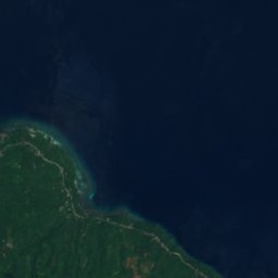





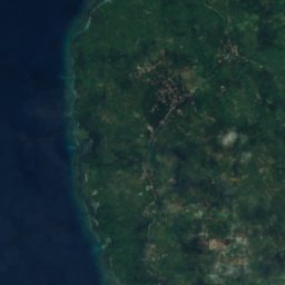
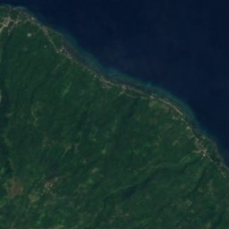



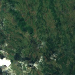
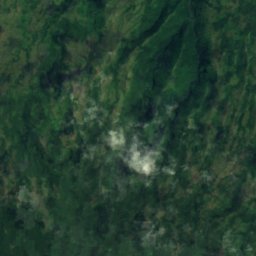
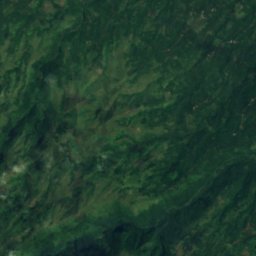
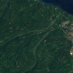
Satellite: Sentinel-2 cloudless 2016 by EOX IT Services GmbH · CC BY 4.0 · Contains modified Copernicus Sentinel data 2016

Photo: Allan Jay Quesada · CC BY-SA 4.0 · Wikimedia Commons
CamiguinReport this photo · linked, not stored
CamiguinCamiguinReport this photo · linked, not stored
IslandBalingoan, Northern Mindanao
Pulo
Island1 m elevationBest Jan–Mar
Elevation1 mabove sea level
Area–surface
Nearest townBalingoan0.8 km
9.01° N, 124.85° EElevation 1 mUTC+8 · Philippine Standard Time
When to goBalingoan · weather score
Best timeJan–Mar
October: high / low28° / 26°
Island
Pulo in brief
Pulo is an island in Balingoan, Northern Mindanao, Philippines.
It lies at 1 m above sea level.
The nearest town is Balingoan, 0.8 km to the SE, where the weather is best in January, February and March.
Weather nearby now
Forecast for Balingoan27°
Partly cloudy now
Today
25 Oct
30°
27°
10 mm
Mon
26 Oct
30°
27°
1 mm
Tue
27 Oct
30°
27°
2 mm
Wed
28 Oct
30°
27°
Thu
29 Oct
30°
27°
1 mm
Model run 12:00 UTCRefreshed several times a day
When to go
Climate of BalingoanThe best months around Pulo
Month score in Balingoan
Comfort, dry days and sunshine · out of 10053
Jan
55
Feb
56
Mar
53
Apr
43
May
38
Jun
38
Jul
37
Aug
39
Sep
41
Oct
46
Nov
50
Dec
Map
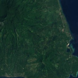
Pulo from above
Nature nearbyAll of the Philippines
Satellite: Sentinel-2 cloudless 2016 by EOX IT Services GmbH · CC BY 4.0 · Contains modified Copernicus Sentinel data 2016
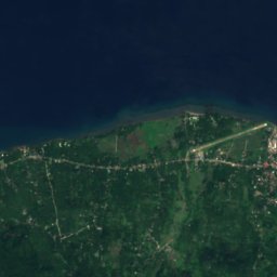
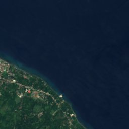



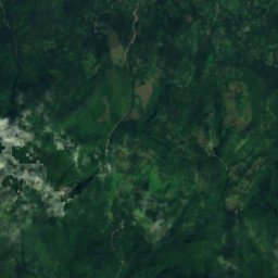
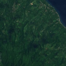
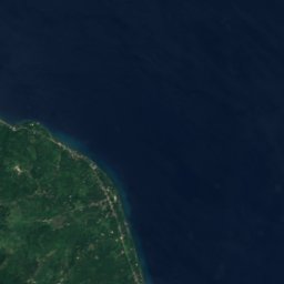


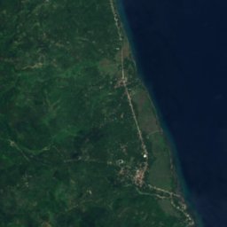
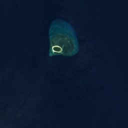

Satellite: Sentinel-2 cloudless 2016 by EOX IT Services GmbH · CC BY 4.0 · Contains modified Copernicus Sentinel data 2016



Satellite: Sentinel-2 cloudless 2016 by EOX IT Services GmbH · CC BY 4.0 · Contains modified Copernicus Sentinel data 2016

Summits nearbyMountains of the Philippines

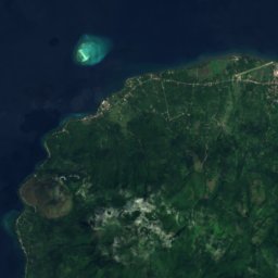
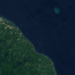



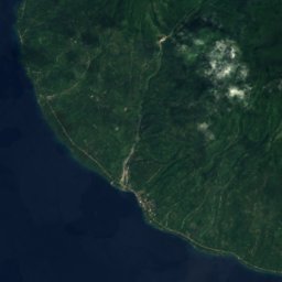





Satellite: Sentinel-2 cloudless 2016 by EOX IT Services GmbH · CC BY 4.0 · Contains modified Copernicus Sentinel data 2016
Satellite: Sentinel-2 cloudless 2016 by EOX IT Services GmbH · CC BY 4.0 · Contains modified Copernicus Sentinel data 2016
Stay nearby
Towns close by



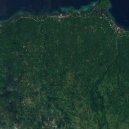
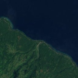
Satellite: Sentinel-2 cloudless 2016 by EOX IT Services GmbH · CC BY 4.0 · Contains modified Copernicus Sentinel data 2016
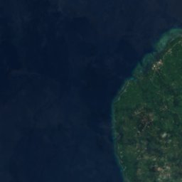
Balingoan
Northern Mindanao · 0.8 km SE
28°Oct high
29wet days
41score




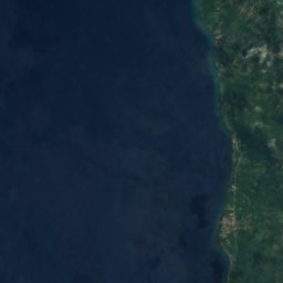
Satellite: Sentinel-2 cloudless 2016 by EOX IT Services GmbH · CC BY 4.0 · Contains modified Copernicus Sentinel data 2016
Sugbongcogon
Northern Mindanao · 8.5 km SW
28°Oct high
29wet days
44score

Photo: Lucky Ambago Purok Otso · CC BY-SA 4.0 · Wikimedia CommonsReport this photo · linked, not stored
Guinsiliban
Northern Mindanao · 12 km NW
28°Oct high
29wet days
44score
Around here
Balingoan and around
Nature

Satellite: Sentinel-2 cloudless 2016 by EOX IT Services GmbH · CC BY 4.0 · Contains modified Copernicus Sentinel data 2016
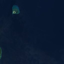
Canauayor Islet
Island
Mountains












Satellite: Sentinel-2 cloudless 2016 by EOX IT Services GmbH · CC BY 4.0 · Contains modified Copernicus Sentinel data 2016
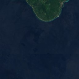
Mount Hibok-Hibok
1,332 m
Satellite: Sentinel-2 cloudless 2016 by EOX IT Services GmbH · CC BY 4.0 · Contains modified Copernicus Sentinel data 2016
Mount Carling
785 m