
Photo: © Vyacheslav Argenberg · CC BY 4.0 · Wikimedia Commons
PalawanReport this photo · linked, not stored
PalawanReport this photo · linked, not stored
IslandAborlan, Mimaropa
Palawan
Island2,085 m elevationBest Jan–Mar
Elevation2,085 mabove sea level
Area12,189 km²surface
Nearest townAborlan9.1 km
9.50° N, 118.50° EElevation 2,085 mUTC+8 · Philippine Standard Time
When to goAborlan · weather score
Best timeJan–Mar
October: high / low29° / 25°
Island
Palawan in brief
Palawan is an island in Aborlan, Mimaropa, Philippines.
It lies at 2,085 m above sea level and covers about 12,189 km².
The nearest town in the atlas is Aborlan, 9.1 km to the SE, where the weather is best in January, February and March.
Weather nearby now
Forecast for Aborlan24°
Showers now
Today
22 Oct
29°
24°
5 mm
Fri
23 Oct
30°
24°
3 mm
Sat
24 Oct
28°
23°
22 mm
Sun
25 Oct
29°
23°
19 mm
Mon
26 Oct
29°
22°
7 mm
Model run 00:00 UTCRefreshed several times a day
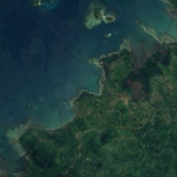
The island from above
12,189 km² · coastline as mapped in OpenStreetMapMap
Palawan from above
Nature nearbyAll of the Philippines
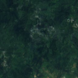
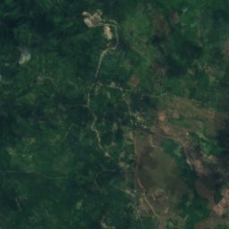
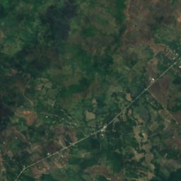
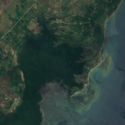

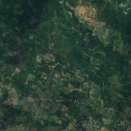
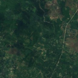
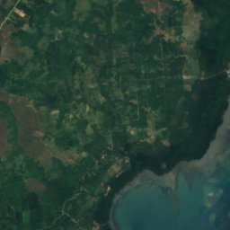
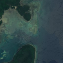

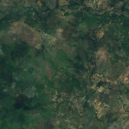
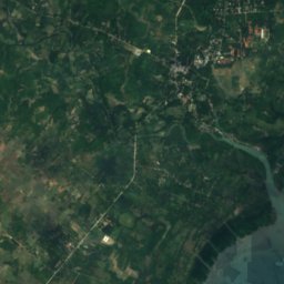
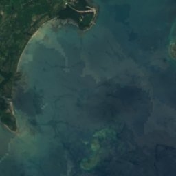
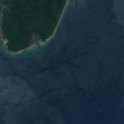

Satellite: Sentinel-2 cloudless 2016 by EOX IT Services GmbH · CC BY 4.0 · Contains modified Copernicus Sentinel data 2016
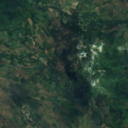
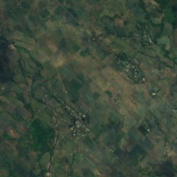
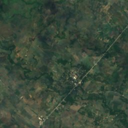
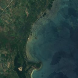
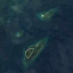

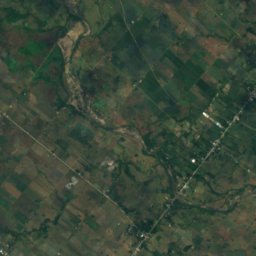
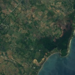
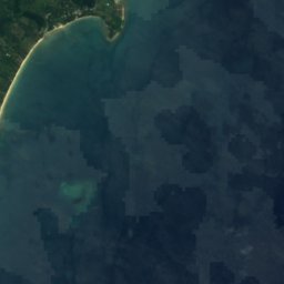


Satellite: Sentinel-2 cloudless 2016 by EOX IT Services GmbH · CC BY 4.0 · Contains modified Copernicus Sentinel data 2016
Summits nearbyMountains of the Philippines

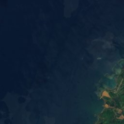
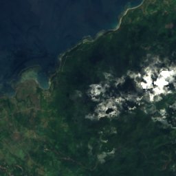
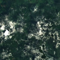
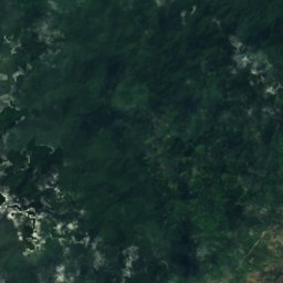

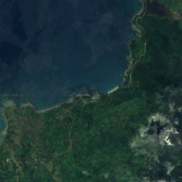
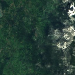
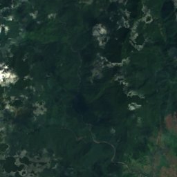
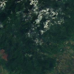
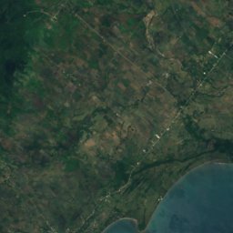
Satellite: Sentinel-2 cloudless 2016 by EOX IT Services GmbH · CC BY 4.0 · Contains modified Copernicus Sentinel data 2016


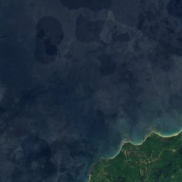
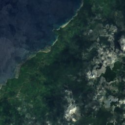
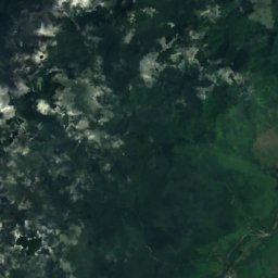

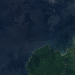
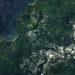
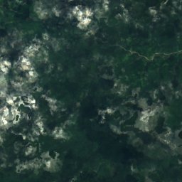
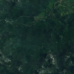
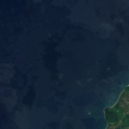
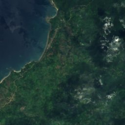
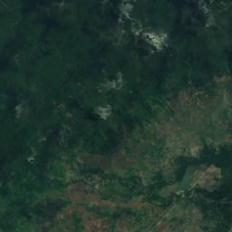
Satellite: Sentinel-2 cloudless 2016 by EOX IT Services GmbH · CC BY 4.0 · Contains modified Copernicus Sentinel data 2016
Stay nearby
Towns close by

Photo: USAID Biodiversity & Forestry · Public domain · Wikimedia CommonsReport this photo · linked, not stored
Aborlan
Mimaropa · 9.1 km SE
29°Oct high
30wet days
39score
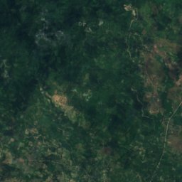
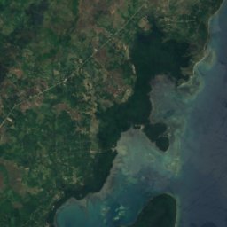
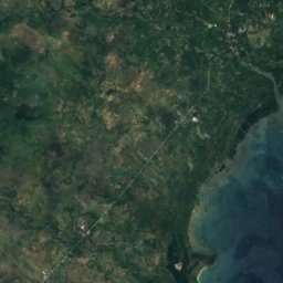
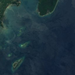
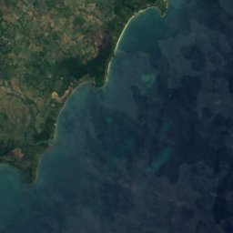

Satellite: Sentinel-2 cloudless 2016 by EOX IT Services GmbH · CC BY 4.0 · Contains modified Copernicus Sentinel data 2016
Magsaysay
Mimaropa · 13 km S
29°Oct high
30wet days
39score



Around here
Aborlan and around
Photo: USAID Biodiversity & Forestry · Public domain · Wikimedia CommonsReport this photo · linked, not stored
Aborlan
Mimaropa · Philippines
Jan–Marbest months
29°July high
11 maltitude
Nature
Satellite: Sentinel-2 cloudless 2016 by EOX IT Services GmbH · CC BY 4.0 · Contains modified Copernicus Sentinel data 2016
Malanao Island
Island · 8 m
Satellite: Sentinel-2 cloudless 2016 by EOX IT Services GmbH · CC BY 4.0 · Contains modified Copernicus Sentinel data 2016
Sombrero Island, Mimaropa
Island · 9 m
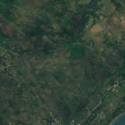
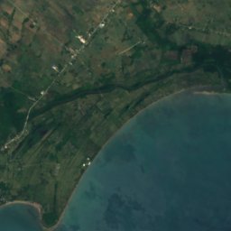
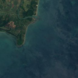

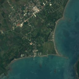

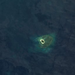


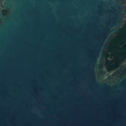
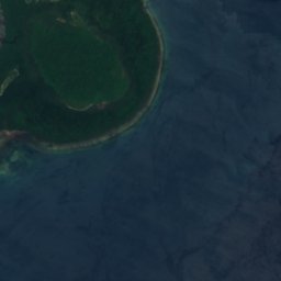



Satellite: Sentinel-2 cloudless 2016 by EOX IT Services GmbH · CC BY 4.0 · Contains modified Copernicus Sentinel data 2016
Arena Island, Mimaropa
Island · 6 m
Mountains
Satellite: Sentinel-2 cloudless 2016 by EOX IT Services GmbH · CC BY 4.0 · Contains modified Copernicus Sentinel data 2016
Mount Victoria, Palawan
1,726 m



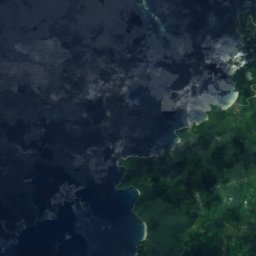
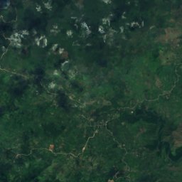


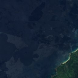
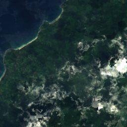
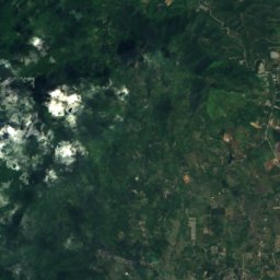
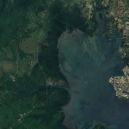


Satellite: Sentinel-2 cloudless 2016 by EOX IT Services GmbH · CC BY 4.0 · Contains modified Copernicus Sentinel data 2016
Thumb Peak (Palawan)
1,296 m
Satellite: Sentinel-2 cloudless 2016 by EOX IT Services GmbH · CC BY 4.0 · Contains modified Copernicus Sentinel data 2016
Anepahan Peaks
1,080 m