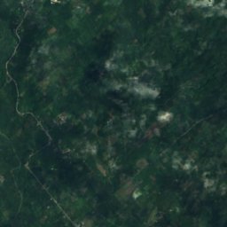
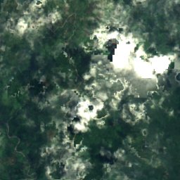
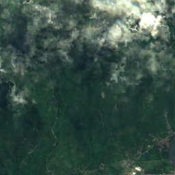
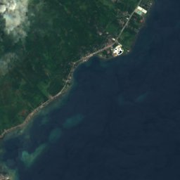


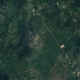
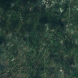
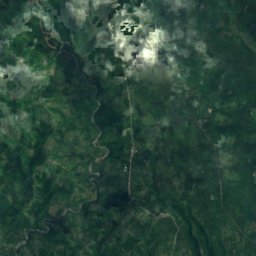








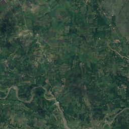
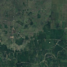
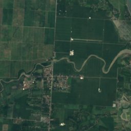



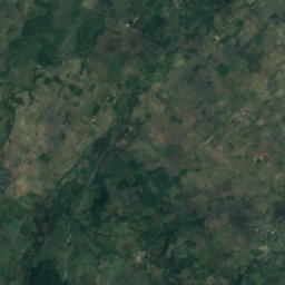
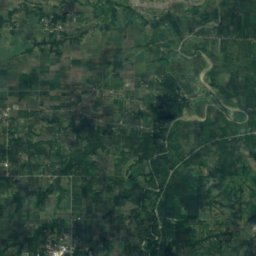


Satellite: Sentinel-2 cloudless 2016 by EOX IT Services GmbH · CC BY 4.0 · Contains modified Copernicus Sentinel data 2016
RiverDigos, Davao Region
Digos River
River10 m elevationBest Jan–Mar
Elevation10 mabove sea level
Area–surface
Nearest townDigos2.9 km
6.74° N, 125.38° EElevation 10 mUTC+8 · Philippine Standard Time
When to goDigos · weather score
Best timeJan–Mar
October: high / low31° / 24°
River
Digos River in brief
Digos River is a river in Digos, Davao Region, Philippines.
It lies at 10 m above sea level.
The nearest town in the atlas is Digos, 2.9 km to the W, where the weather is best in January, February and March.
Weather nearby now
Forecast for Digos28°
Cloudy now
Today
22 Oct
37°
28°
1 mm
Fri
23 Oct
36°
26°
2 mm
Sat
24 Oct
35°
27°
Sun
25 Oct
36°
26°
2 mm
Mon
26 Oct
33°
26°
4 mm
Model run 00:00 UTCRefreshed several times a day
Map
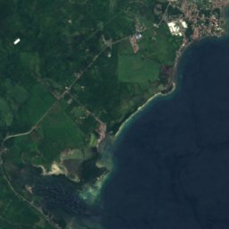
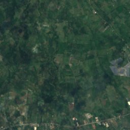
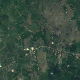
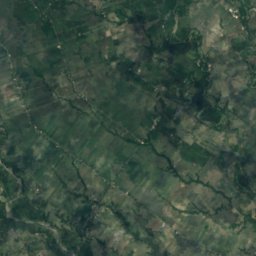
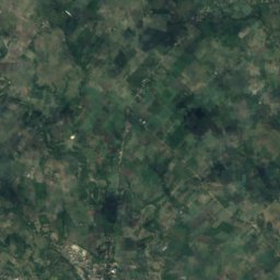
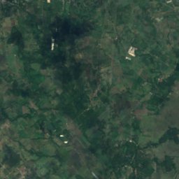
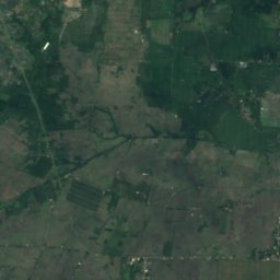
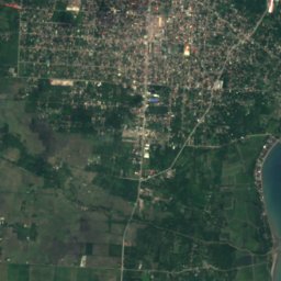
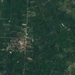
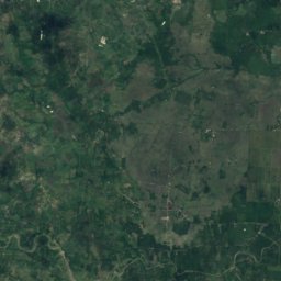
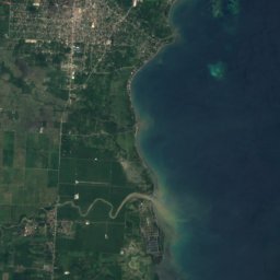
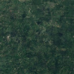
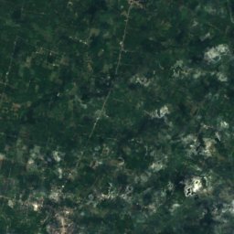
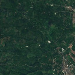
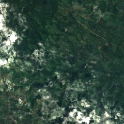
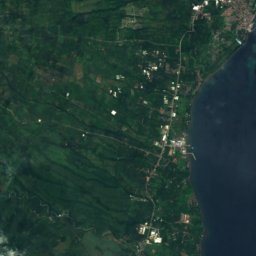
Digos River from above
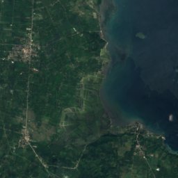
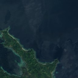
Nature nearbyAll of the Philippines
Satellite: Sentinel-2 cloudless 2016 by EOX IT Services GmbH · CC BY 4.0 · Contains modified Copernicus Sentinel data 2016
Satellite: Sentinel-2 cloudless 2016 by EOX IT Services GmbH · CC BY 4.0 · Contains modified Copernicus Sentinel data 2016
Satellite: Sentinel-2 cloudless 2016 by EOX IT Services GmbH · CC BY 4.0 · Contains modified Copernicus Sentinel data 2016
Satellite: Sentinel-2 cloudless 2016 by EOX IT Services GmbH · CC BY 4.0 · Contains modified Copernicus Sentinel data 2016
Satellite: Sentinel-2 cloudless 2016 by EOX IT Services GmbH · CC BY 4.0 · Contains modified Copernicus Sentinel data 2016
Satellite: Sentinel-2 cloudless 2016 by EOX IT Services GmbH · CC BY 4.0 · Contains modified Copernicus Sentinel data 2016
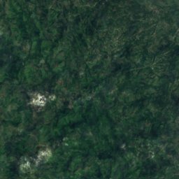
Summits nearbyMountains of the Philippines


Stay nearby
Towns close by

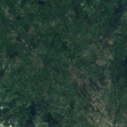
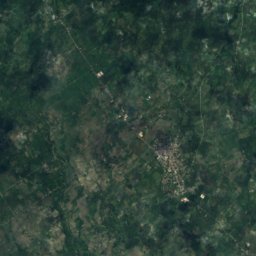
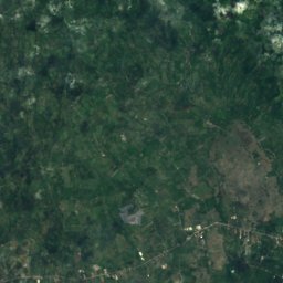
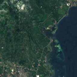
Satellite: Sentinel-2 cloudless 2016 by EOX IT Services GmbH · CC BY 4.0 · Contains modified Copernicus Sentinel data 2016
Guihing Proper
Davao Region · 7.1 km SW
31°Oct high
27wet days
30score
Satellite: Sentinel-2 cloudless 2016 by EOX IT Services GmbH · CC BY 4.0 · Contains modified Copernicus Sentinel data 2016
Hagonoy
Davao Region · 8.9 km SW
31°Oct high
27wet days
30score

Around here
Digos and around
Nature
Satellite: Sentinel-2 cloudless 2016 by EOX IT Services GmbH · CC BY 4.0 · Contains modified Copernicus Sentinel data 2016
Digos Islet
Island
Satellite: Sentinel-2 cloudless 2016 by EOX IT Services GmbH · CC BY 4.0 · Contains modified Copernicus Sentinel data 2016
Digos Reefs
Island
Satellite: Sentinel-2 cloudless 2016 by EOX IT Services GmbH · CC BY 4.0 · Contains modified Copernicus Sentinel data 2016
Digos Outer Reef
Island
Mountains

Photo: Bro. Jeffrey Pioquinto, SJ · CC BY 2.0 · Wikimedia CommonsReport this photo · linked, not stored
Mount Apo
2,954 m · Apo–Talomo Range
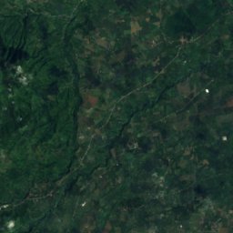
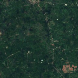


Satellite: Sentinel-2 cloudless 2016 by EOX IT Services GmbH · CC BY 4.0 · Contains modified Copernicus Sentinel data 2016
Mount Talomo
2,674 m