
Photo: Aldous Mariano Cariño · CC BY-SA 4.0 · Wikimedia Commons
BasilanReport this photo · linked, not stored
BasilanReport this photo · linked, not stored
IslandLamitan City, Autonomous Region in Muslim Mindanao
Basilan
Island377 m elevationBest Feb–Apr
Elevation377 mabove sea level
Area1,282 km²surface
Nearest townLamitan City13 km
6.57° N, 122.05° EElevation 377 mUTC+8 · Philippine Standard Time
When to goLamitan City · weather score
Best timeFeb–Apr
October: high / low28° / 26°
Island
Basilan in brief
Basilan is an island in Lamitan City, Autonomous Region in Muslim Mindanao, Philippines.
It lies at 377 m above sea level and covers about 1,282 km².
The nearest town in the atlas is Lamitan City, 13 km to the NE, where the weather is best in February, March and April.
Weather nearby now
Forecast for Lamitan City27°
Cloudy now
Today
23 Oct
29°
27°
2 mm
Sat
24 Oct
29°
26°
4 mm
Sun
25 Oct
29°
27°
1 mm
Mon
26 Oct
29°
26°
3 mm
Tue
27 Oct
29°
27°
7 mm
Model run 00:00 UTCRefreshed several times a day
The island from above
1,282 km² · coastline as mapped in OpenStreetMapMap
Basilan from above
Nature nearbyAll of the Philippines
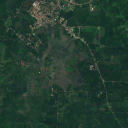


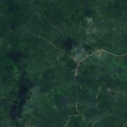
Satellite: Sentinel-2 cloudless 2016 by EOX IT Services GmbH · CC BY 4.0 · Contains modified Copernicus Sentinel data 2016
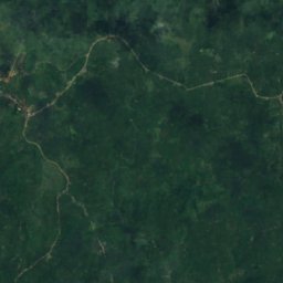
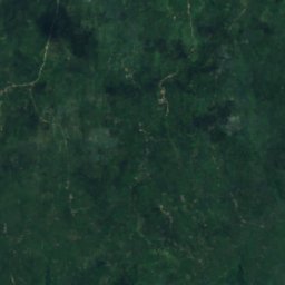
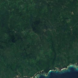
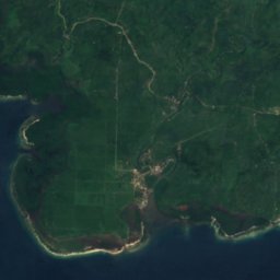
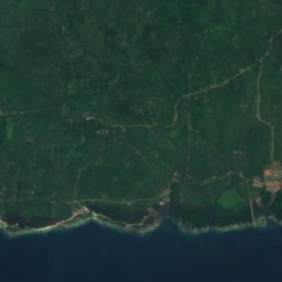
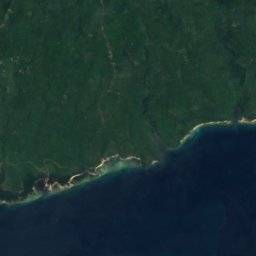
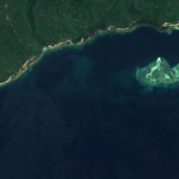
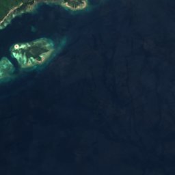

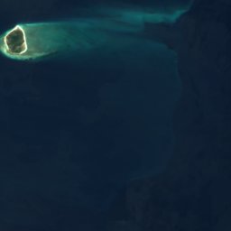


Satellite: Sentinel-2 cloudless 2016 by EOX IT Services GmbH · CC BY 4.0 · Contains modified Copernicus Sentinel data 2016
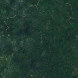
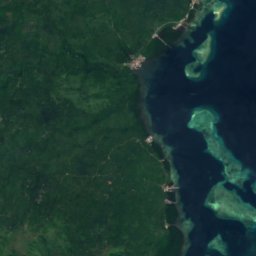
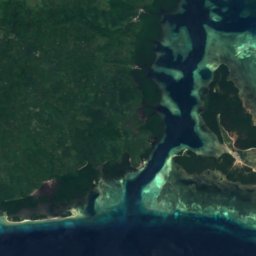

Satellite: Sentinel-2 cloudless 2016 by EOX IT Services GmbH · CC BY 4.0 · Contains modified Copernicus Sentinel data 2016
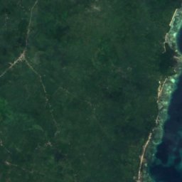



Satellite: Sentinel-2 cloudless 2016 by EOX IT Services GmbH · CC BY 4.0 · Contains modified Copernicus Sentinel data 2016
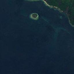

Satellite: Sentinel-2 cloudless 2016 by EOX IT Services GmbH · CC BY 4.0 · Contains modified Copernicus Sentinel data 2016






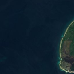
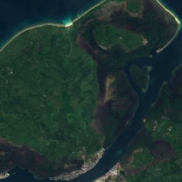
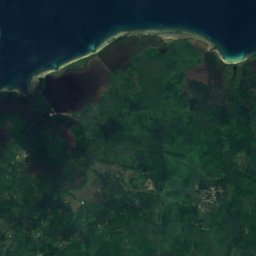
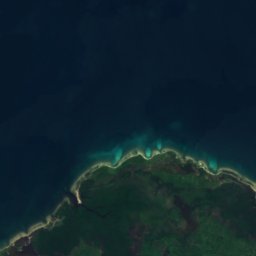
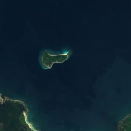
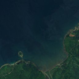
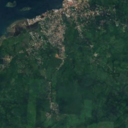
Satellite: Sentinel-2 cloudless 2016 by EOX IT Services GmbH · CC BY 4.0 · Contains modified Copernicus Sentinel data 2016
Summits nearbyMountains of the Philippines
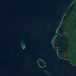
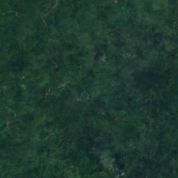
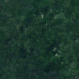
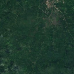
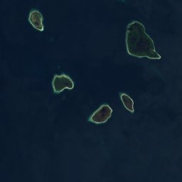
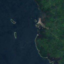

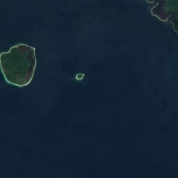
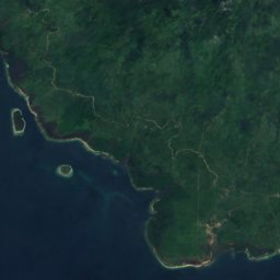
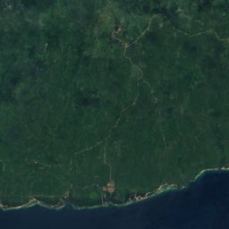
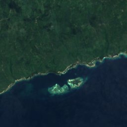
Satellite: Sentinel-2 cloudless 2016 by EOX IT Services GmbH · CC BY 4.0 · Contains modified Copernicus Sentinel data 2016
Stay nearby
Towns close by
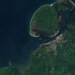
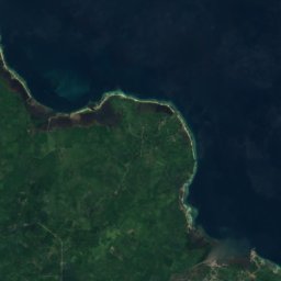
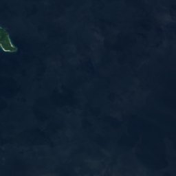
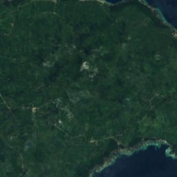
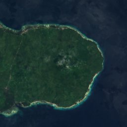
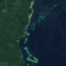

Satellite: Sentinel-2 cloudless 2016 by EOX IT Services GmbH · CC BY 4.0 · Contains modified Copernicus Sentinel data 2016
Tipo-Tipo
Autonomous Region in Muslim Mindanao · 14 km E
27°Oct high
27wet days
45score









Around here
Lamitan City and around

Lamitan City
Autonomous Region in Muslim Mindanao · Philippines
Feb–Aprbest months
28°July high
42 maltitude
Nature
Satellite: Sentinel-2 cloudless 2016 by EOX IT Services GmbH · CC BY 4.0 · Contains modified Copernicus Sentinel data 2016
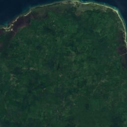
Basilan National Park
National park · 820 m









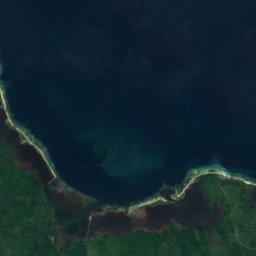

Satellite: Sentinel-2 cloudless 2016 by EOX IT Services GmbH · CC BY 4.0 · Contains modified Copernicus Sentinel data 2016
Luzon Reef, Lamitan City
Island

Mountains
Satellite: Sentinel-2 cloudless 2016 by EOX IT Services GmbH · CC BY 4.0 · Contains modified Copernicus Sentinel data 2016
Abongabong Peak
533 m
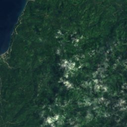
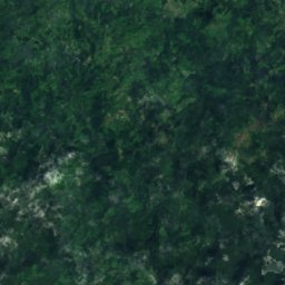
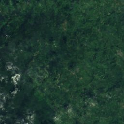
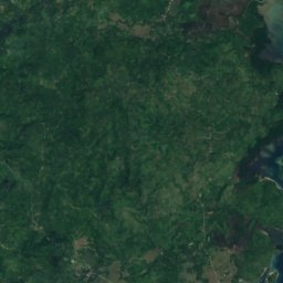
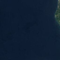
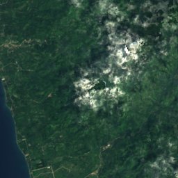
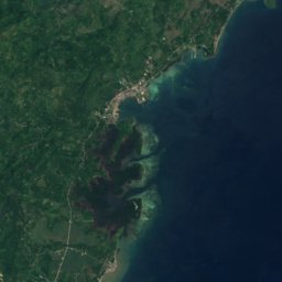

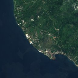
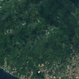
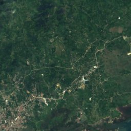
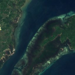


Satellite: Sentinel-2 cloudless 2016 by EOX IT Services GmbH · CC BY 4.0 · Contains modified Copernicus Sentinel data 2016
Mount Pulong Bato
360 m