Nature
Waters, ice and wild places of Panama
Lakes, waterfalls, glaciers, national parks and mountain huts, each with its location, its size and the weather of the towns around it.
Lakes5with a page
Waterfalls6with a page
National parks10with a page
Beaches7with a page

Lakes
Lakes of Panama


Photo: Jesse Allen and Robert Simmon · Public domain · Wikimedia CommonsReport this photo · linked, not stored
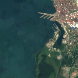
Lake Alajuela
Nuevo Vigía, Colón









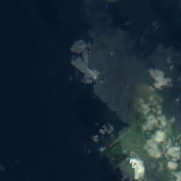
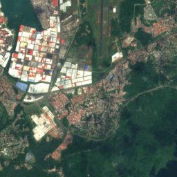
Satellite: Sentinel-2 cloudless 2016 by EOX IT Services GmbH · CC BY 4.0 · Contains modified Copernicus Sentinel data 2016
Chiriquí Lagoon
Chiriquí Grande, Bocas del Toro Province

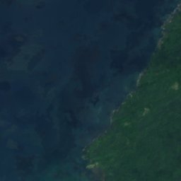
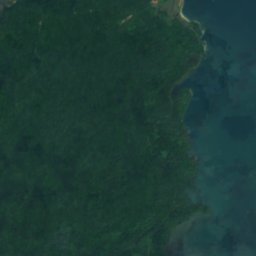
Waterfalls
Waterfalls of Panama


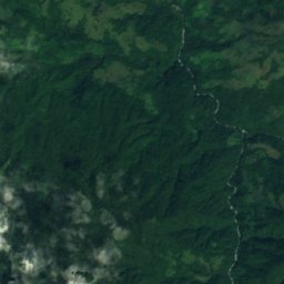
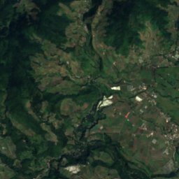
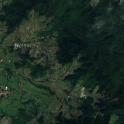
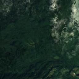
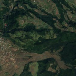
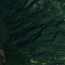
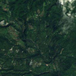
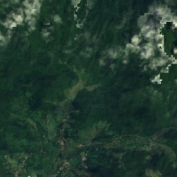
Satellite: Sentinel-2 cloudless 2016 by EOX IT Services GmbH · CC BY 4.0 · Contains modified Copernicus Sentinel data 2016
Cascada Alejandro
Los Naranjos, Chiriquí Province
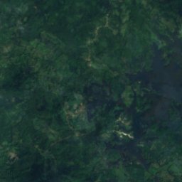
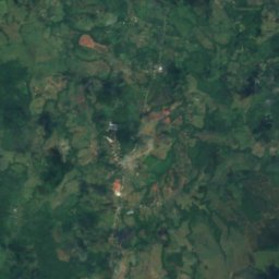
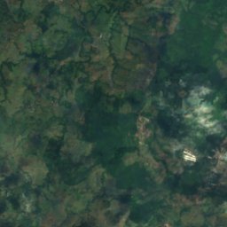
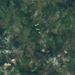
Satellite: Sentinel-2 cloudless 2016 by EOX IT Services GmbH · CC BY 4.0 · Contains modified Copernicus Sentinel data 2016
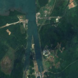
Los Chorros de Trinidad
Cerro Cama, Panamá Oeste Province
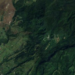
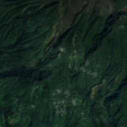
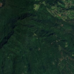
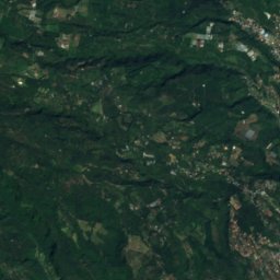
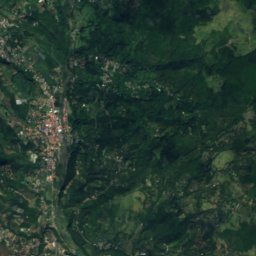
Satellite: Sentinel-2 cloudless 2016 by EOX IT Services GmbH · CC BY 4.0 · Contains modified Copernicus Sentinel data 2016
San Ramón Waterfall
Los Naranjos, Chiriquí Province
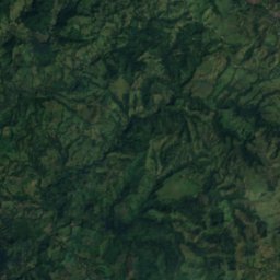
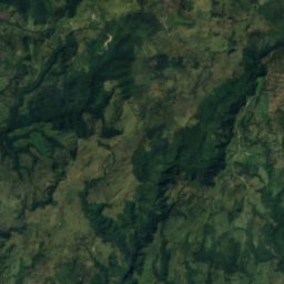
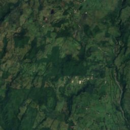
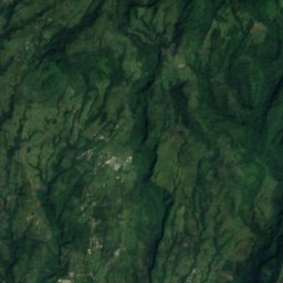
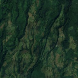
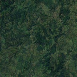
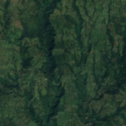
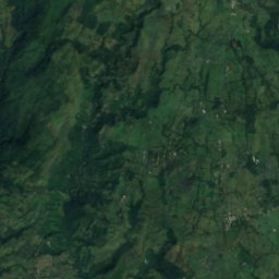
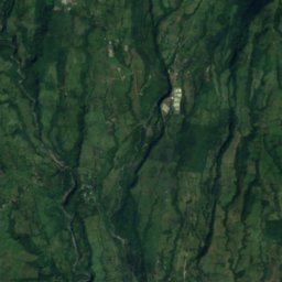
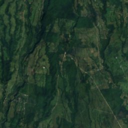
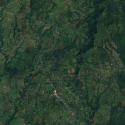
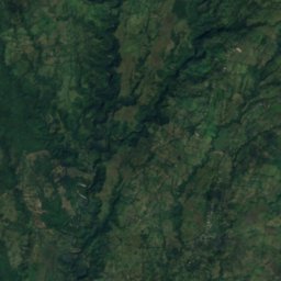
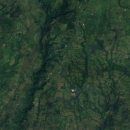
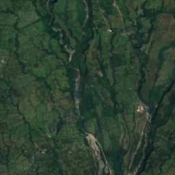
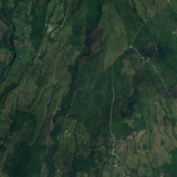
Satellite: Sentinel-2 cloudless 2016 by EOX IT Services GmbH · CC BY 4.0 · Contains modified Copernicus Sentinel data 2016
Macho de Monte Cascadas
Cordillera, Chiriquí Province
National parks
National parks of Panama


Photo: Katja Schulz from Washington, D. C., USA · CC BY 2.0 · Wikimedia CommonsReport this photo · linked, not stored
Soberanía National Park
Chilibre, Panamá
221 km²

Gulf of Chiriquí National Marine Park
Boca Chica, Chiriquí Province

Photo: Ariel Rodriguez-Vargas · CC BY-SA 3.0 · Wikimedia CommonsReport this photo · linked, not stored
Volcán Barú National Park
Cerro Punta, Chiriquí Province
143 km²

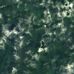
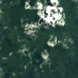
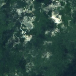
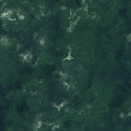
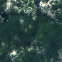
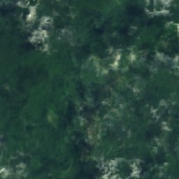
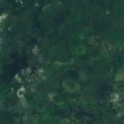
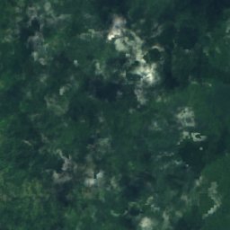
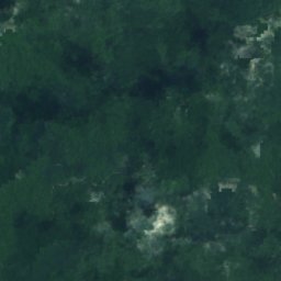
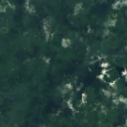
Satellite: Sentinel-2 cloudless 2016 by EOX IT Services GmbH · CC BY 4.0 · Contains modified Copernicus Sentinel data 2016
Chagres National Park
Salamanca, Colón
1,290 km²
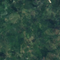
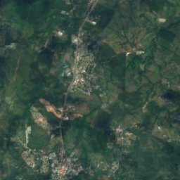
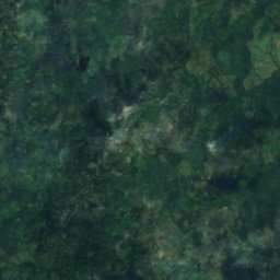
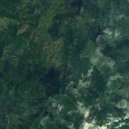
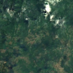
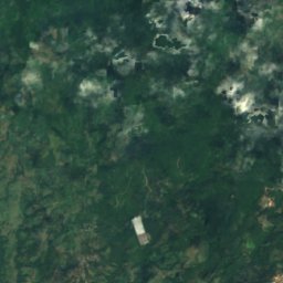
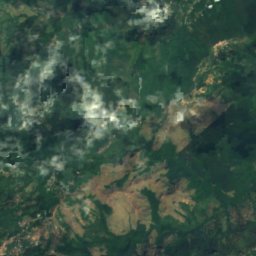
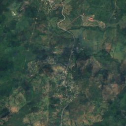
Satellite: Sentinel-2 cloudless 2016 by EOX IT Services GmbH · CC BY 4.0 · Contains modified Copernicus Sentinel data 2016
Altos de Campana National Park
Chicá, Panamá
48 km²
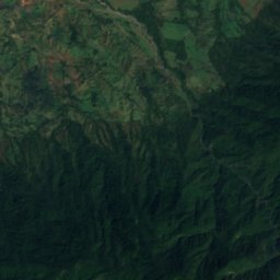
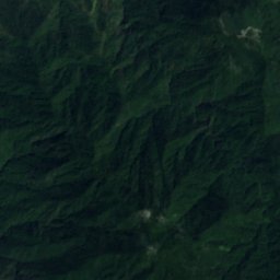
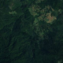
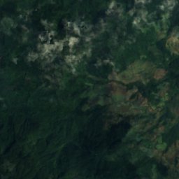
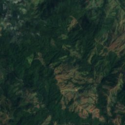
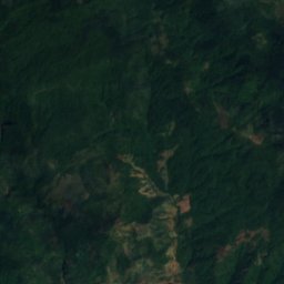
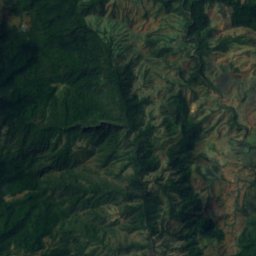
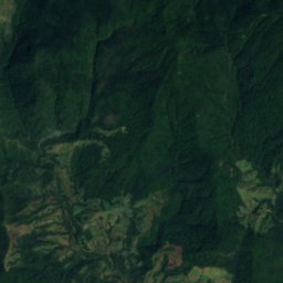
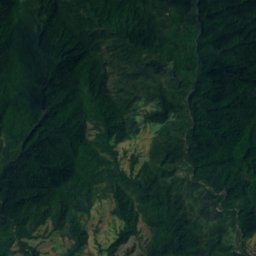
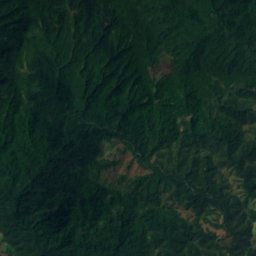
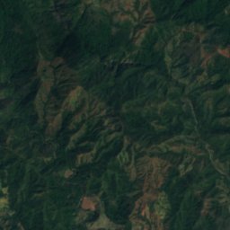
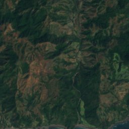
Satellite: Sentinel-2 cloudless 2016 by EOX IT Services GmbH · CC BY 4.0 · Contains modified Copernicus Sentinel data 2016
Cerro Hoya National Park
Cambutal, Los Santos Province
0 km²
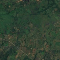
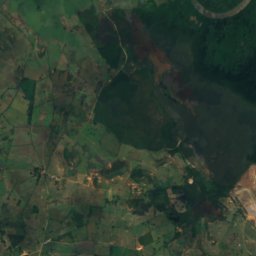
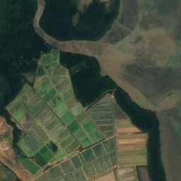
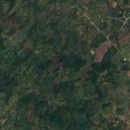
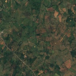
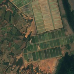
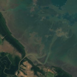
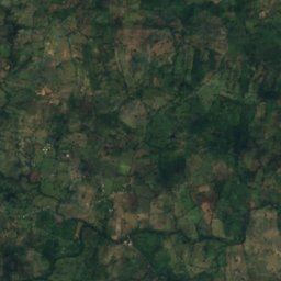
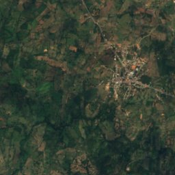
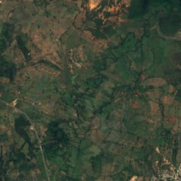
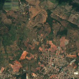
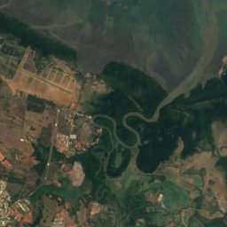
Satellite: Sentinel-2 cloudless 2016 by EOX IT Services GmbH · CC BY 4.0 · Contains modified Copernicus Sentinel data 2016
Sarigua National Park
Boca de Parita, Herrera Province
All 10 national parks
Beaches
Beaches of Panama


Photo: Marissa Strniste from Upala, Costa Rica · CC BY 2.0 · Wikimedia CommonsReport this photo · linked, not stored
Starfish Beach
Bocas del Toro, Bocas del Toro Province
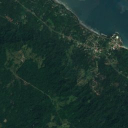
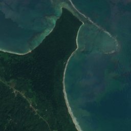

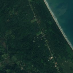
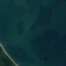


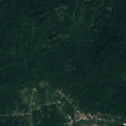
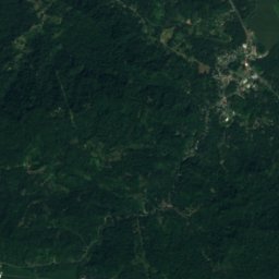
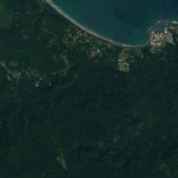
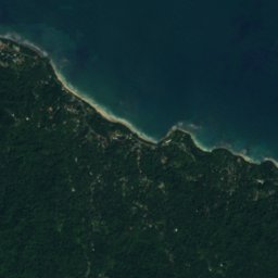
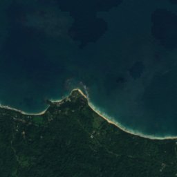
Satellite: Sentinel-2 cloudless 2016 by EOX IT Services GmbH · CC BY 4.0 · Contains modified Copernicus Sentinel data 2016
Playa Cocles
Guabito, Bocas del Toro Province
2 m
Islands
Islands of Panama


Photo: Kenvanportbc at English Wikipedia · Public domain · Wikimedia CommonsReport this photo · linked, not stored
Isla del Rey
San Miguel, Panamá


All 78 islands
- Arrecife Pulpería
- Bajo Alden
- Bajo de Cangrejón
- Bajo de Cartagena
- Bajo de Mogo Mogo
- Bajo Elefante
- Bajo Grande
- Bajo Reverso de Chitre
- Bajo Selfridge
- Bajo Tridente
- Bajos Escribanos
- Barro Colorado Island
- Bastimentos Island
- Boca Brava
- Boca Chica Island
- Bocas del Toro Archipelago
- Burica Island
- Carenero Island
- Cayo Agua Island
- Cayo Roldán
- Cayos Zapatilla
- Cébaco
- Colón Island
- Contadora Island
- Cristóbal Island
- Five Fathom Bank
- Flamenco Island
- Galeta Island
- Isla Bayoneta
- Isla Boquita
- Isla Changamé
- Isla Covovi
- Isla de Cañas
- Isla de la Viuda
- Isla del Rey
- Isla Droque
- Isla Falta Calzado
- Isla Gatun, Panama
- Isla Gibraleón
- Isla Grande
- Isla Guarapo
- Isla Iguana
- Isla Largo Remo
- Isla Media Palma
- Isla Mina
- Isla Naranjo Abajo
- Isla Naranjo Arriba
- Isla Palenque
- Isla Parida
- Isla Peina Guapa
- Isla Sabaneta
- Isla Sabino
- Isla Samba Bonita
- Isla San Telmo
- Isla Tres Perros
- Island Gómez
- Island Linarte
- Island Mona
- Island Saíno
- Island Venado
- La Bamba
- Las Areas Island
- Nalunega
- Otoque Island
- Piedra Salmedina
- Pondsock Reef
- Popa Island
- San Blas Islands
- San José Island
- Solarte Island
- Soledad Miria
- Spokeshave Reef
- Taboga Island
- Taborcillo
- Ukupseni
- Yampi Island
- Yantupu
- Zapadilla Cay
Caves
Caves of Panama
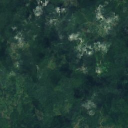
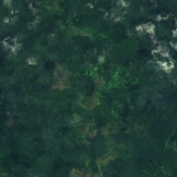
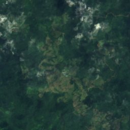
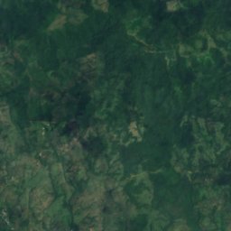
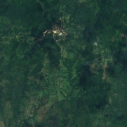
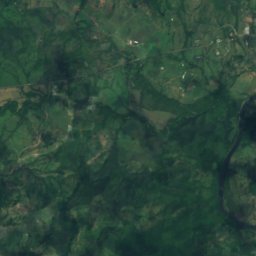
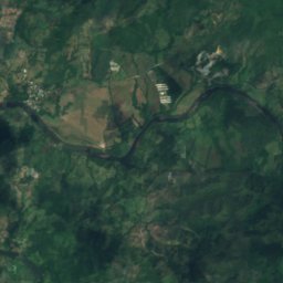
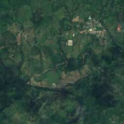
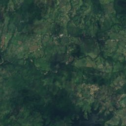
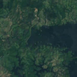
Satellite: Sentinel-2 cloudless 2016 by EOX IT Services GmbH · CC BY 4.0 · Contains modified Copernicus Sentinel data 2016
Bayano Caves
Cañita, Panamá
Rivers
Rivers of Panama


Photo: Earth Science and Remote Sensing Unit, Lyndon B. Johnson Space Center · Public domain · Wikimedia CommonsReport this photo · linked, not stored
Changuinola River
Changuinola, Bocas del Toro Province


Photo: EinfachFrankfurt1955 · CC BY-SA 4.0 · Wikimedia CommonsReport this photo · linked, not stored
Chiriquí River
Chiriquí, Chiriquí Province


All 35 rivers
- Balsas River
- Bayano River
- Caldera River
- Cascajal River
- Chagres River
- Changuinola River
- Chepo River
- Chiriquí River
- Chiriquí Viejo River
- Chucunaque River
- Coto Brus River
- Cricamola River
- David River
- Folks River
- Guariviara River
- La Villa River
- Majagua River
- Mamoni River
- Pacora River
- Río Abajo
- Río Aguacate
- Río Caimito
- Rio Grande
- Río Grande
- Río Matasnillo
- Sabanas River
- Sambú River
- San Felix River
- San Pablo River
- San San River
- Santa Maria River
- Sixaola River
- Tabasara River
- Teribe River
- Tuira River