自然
パナマの水辺、氷河、原野
湖、滝、氷河、国立公園、山小屋。それぞれの場所、規模、周辺の天気を掲載。
湖5か所(個別ページあり)
滝6か所(個別ページあり)
国立公園10か所(個別ページあり)
ビーチ7か所(個別ページあり)

湖
パナマの湖












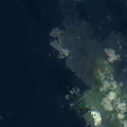
衛星: Sentinel-2 cloudless 2016(EOX IT Services GmbH) · CC BY 4.0 · 改変したCopernicus Sentinelデータ(2016年)を含みます
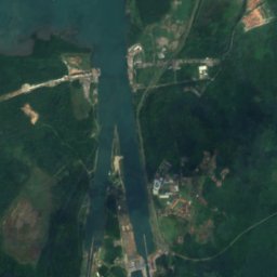
Chiriquí Lagoon
Chiriquí Grande, Bocas del Toro Province

滝
パナマの滝


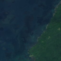
衛星: Sentinel-2 cloudless 2016(EOX IT Services GmbH) · CC BY 4.0 · 改変したCopernicus Sentinelデータ(2016年)を含みます
Cascada Alejandro
Los Naranjos, Chiriquí Province
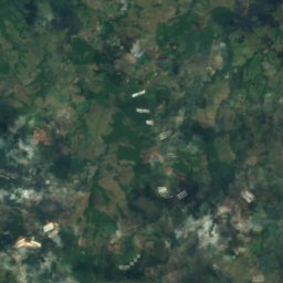
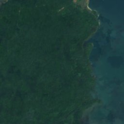
衛星: Sentinel-2 cloudless 2016(EOX IT Services GmbH) · CC BY 4.0 · 改変したCopernicus Sentinelデータ(2016年)を含みます
Los Chorros de Trinidad
Cerro Cama, Panamá Oeste Province
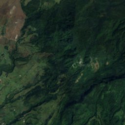
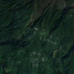
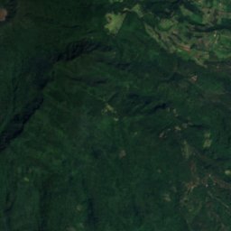
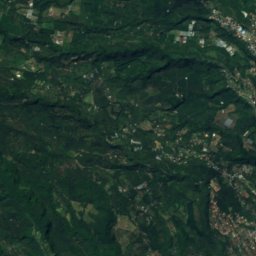
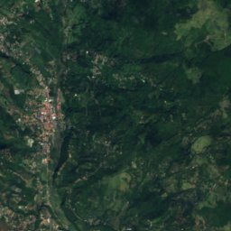
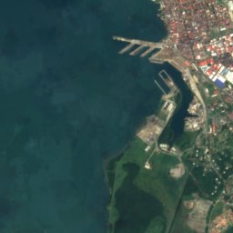
衛星: Sentinel-2 cloudless 2016(EOX IT Services GmbH) · CC BY 4.0 · 改変したCopernicus Sentinelデータ(2016年)を含みます
San Ramón Waterfall
Los Naranjos, Chiriquí Province
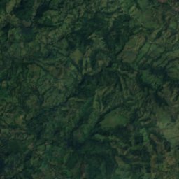
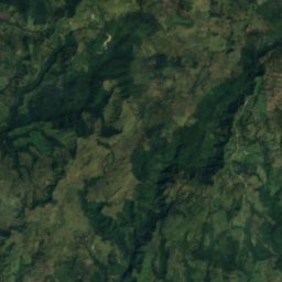
衛星: Sentinel-2 cloudless 2016(EOX IT Services GmbH) · CC BY 4.0 · 改変したCopernicus Sentinelデータ(2016年)を含みます
Macho de Monte Cascadas
Cordillera, Chiriquí Province
国立公園
パナマの国立公園


Gulf of Chiriquí National Marine Park
Boca Chica, Chiriquí Province


衛星: Sentinel-2 cloudless 2016(EOX IT Services GmbH) · CC BY 4.0 · 改変したCopernicus Sentinelデータ(2016年)を含みます
チャグレス国立公園
Salamanca, Colón
1,290 km²
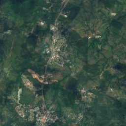
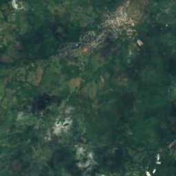
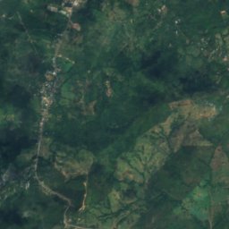
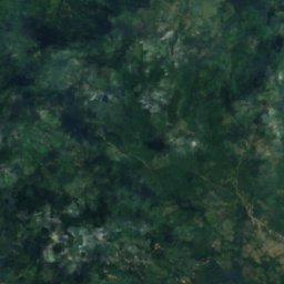
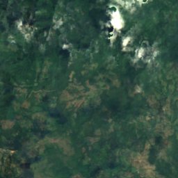
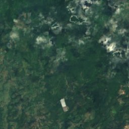
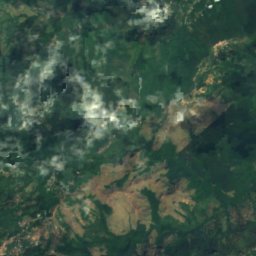
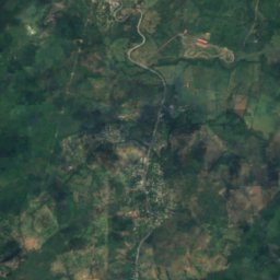
衛星: Sentinel-2 cloudless 2016(EOX IT Services GmbH) · CC BY 4.0 · 改変したCopernicus Sentinelデータ(2016年)を含みます
Altos de Campana National Park
Chicá, Panamá
48 km²
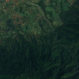
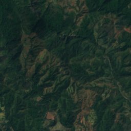
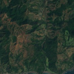
衛星: Sentinel-2 cloudless 2016(EOX IT Services GmbH) · CC BY 4.0 · 改変したCopernicus Sentinelデータ(2016年)を含みます
Cerro Hoya National Park
Cambutal, Los Santos Province
0 km²
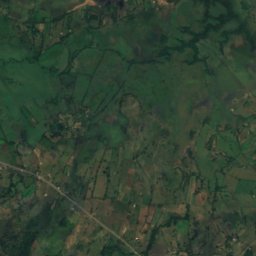
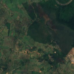
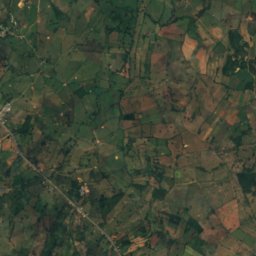
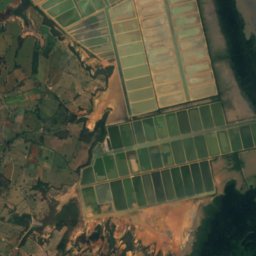
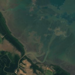
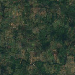
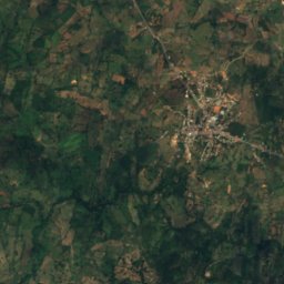
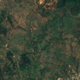
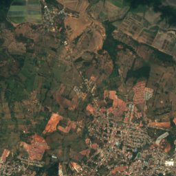
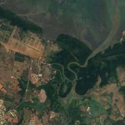
衛星: Sentinel-2 cloudless 2016(EOX IT Services GmbH) · CC BY 4.0 · 改変したCopernicus Sentinelデータ(2016年)を含みます
Sarigua National Park
Boca de Parita, Herrera Province
ビーチ
パナマのビーチ


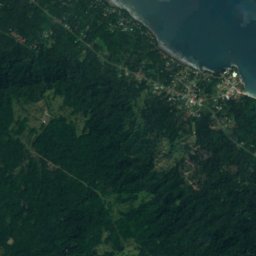
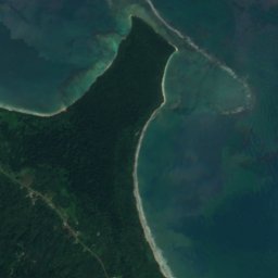




衛星: Sentinel-2 cloudless 2016(EOX IT Services GmbH) · CC BY 4.0 · 改変したCopernicus Sentinelデータ(2016年)を含みます
Playa Cocles
Guabito, Bocas del Toro Province
2 m
島
パナマの島


全リスト:島78か所
- Arrecife Pulpería
- Bajo Alden
- Bajo de Cangrejón
- Bajo de Cartagena
- Bajo de Mogo Mogo
- Bajo Elefante
- Bajo Reverso de Chitre
- Bajo Selfridge
- Bajo Tridente
- Bajos Escribanos
- Boca Brava
- Boca Chica Island
- Burica Island
- Carenero Island
- Cayo Agua Island
- Cayo Roldán
- Cayos Zapatilla
- Cébaco
- Cristóbal Island
- Five Fathom Bank
- Flamenco Island
- Galeta Island
- Isla Bayoneta
- Isla Boquita
- Isla Changamé
- Isla Covovi
- Isla de Cañas
- Isla de la Viuda
- Isla del Rey
- Isla Droque
- Isla Falta Calzado
- Isla Gatun, Panama
- Isla Gibraleón
- Isla Grande
- Isla Guarapo
- Isla Iguana
- Isla Largo Remo
- Isla Media Palma
- Isla Mina
- Isla Naranjo Abajo
- Isla Naranjo Arriba
- Isla Palenque
- Isla Parida
- Isla Peina Guapa
- Isla Sabaneta
- Isla Sabino
- Isla Samba Bonita
- Isla San Telmo
- Isla Tres Perros
- Island Gómez
- Island Linarte
- Island Mona
- Island Saíno
- Island Venado
- La Bamba
- Las Areas Island
- Nalunega
- Otoque Island
- Piedra Salmedina
- Pondsock Reef
- Popa Island
- Solarte Island
- Soledad Miria
- Spokeshave Reef
- Taboga Island
- Taborcillo
- Yampi Island
- Yantupu
- Zapadilla Cay
- コロン島
- コンタドラ島
- サン・ホセ島
- サンブラス諸島
- バジョ・グランデ
- バスティメントス島
- バロ・コロラド島
- プラヨン・チコ
- ボカス・デル・トーロ列島
洞窟
パナマの洞窟
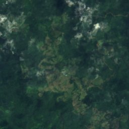
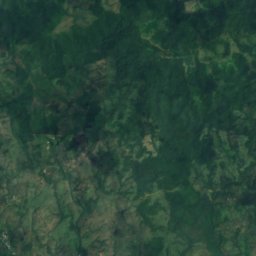
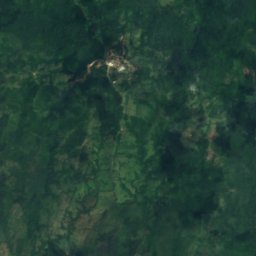
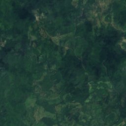
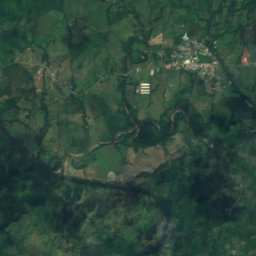
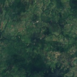
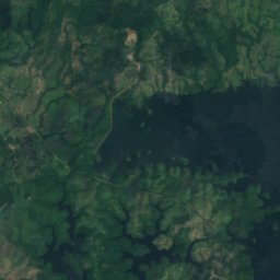
衛星: Sentinel-2 cloudless 2016(EOX IT Services GmbH) · CC BY 4.0 · 改変したCopernicus Sentinelデータ(2016年)を含みます
Bayano Caves
Cañita, Panamá
川
パナマの川


写真: Earth Science and Remote Sensing Unit, Lyndon B. Johnson Space Center · Public domain · Wikimedia Commonsこの写真を報告 · リンクのみ、保存なし
チャンギノーラ川
Changuinola, Bocas del Toro Province


全リスト:川35か所
- Balsas River
- Bayano River
- Cascajal River
- Chepo River
- Chiriquí Viejo River
- Coto Brus River
- Cricamola River
- David River
- Folks River
- Guariviara River
- La Villa River
- Majagua River
- Mamoni River
- Pacora River
- Río Abajo
- Río Aguacate
- Río Caimito
- Rio Grande
- Río Grande
- Río Matasnillo
- Sabanas River
- Sambú River
- San Felix River
- San Pablo River
- Santa Maria River
- Tabasara River
- カルデーラ川
- サンサン川
- シクサオラ川
- チャグレス川
- チャンギノーラ川
- チュクナケ川
- チリキー川
- テリベ川
- トゥイラ川