Nature
Waters, ice and wild places of Oman
Lakes, waterfalls, glaciers, national parks and mountain huts, each with its location, its size and the weather of the towns around it.
Lakes1with a page
Waterfalls2with a page
Islands8with a page
Caves1with a page

Photo: Omanihunter at Arabic Wikipedia · Public domain · Wikimedia CommonsReport this photo · linked, not stored
Lakes
Lakes of Oman

Photo: Omanihunter at Arabic Wikipedia · Public domain · Wikimedia CommonsReport this photo · linked, not stored
Wadi Dayqah Dam
Qurayyat, Muscat
Waterfalls
Waterfalls of Oman
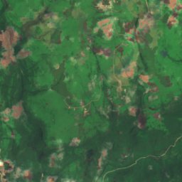
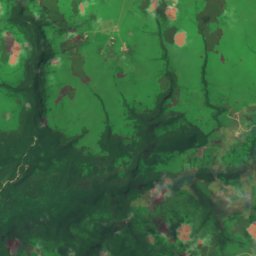
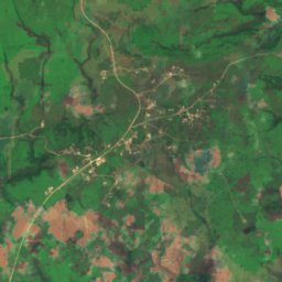
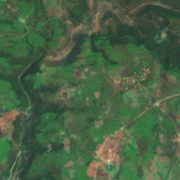
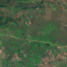
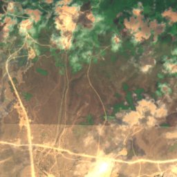
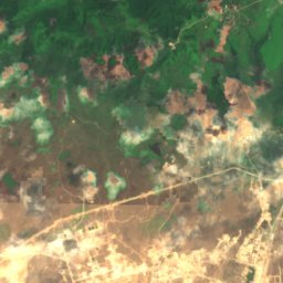
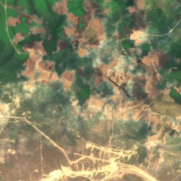
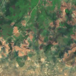
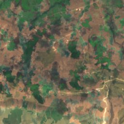
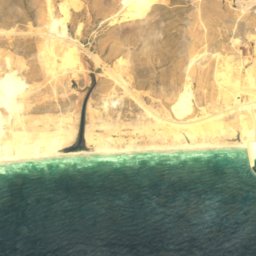
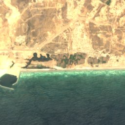
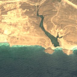
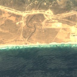
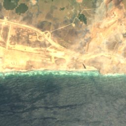
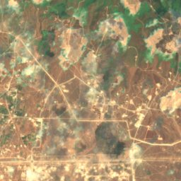
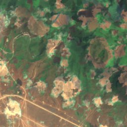
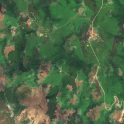
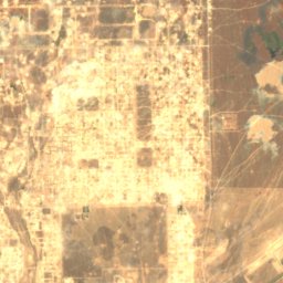
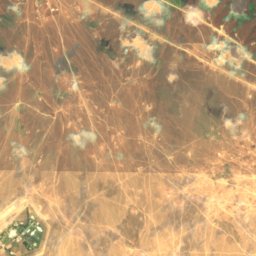
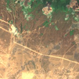
Satellite: Sentinel-2 cloudless 2016 by EOX IT Services GmbH · CC BY 4.0 · Contains modified Copernicus Sentinel data 2016
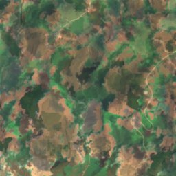
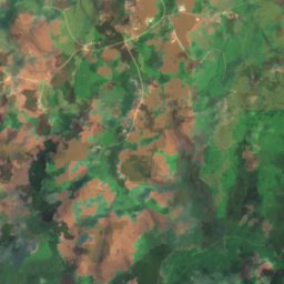
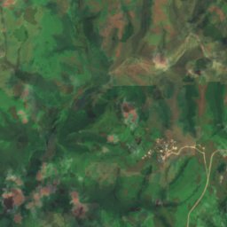
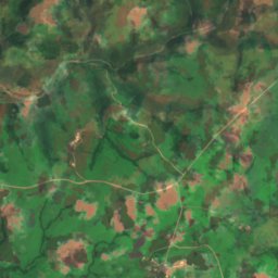
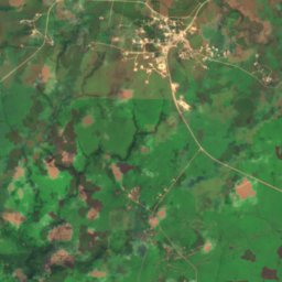
Dahaq Thū‘ārī
Taqah, Dhofar
39 m
Islands
Islands of Oman

Photo: https://www.flickr.com/photos/mccaffrey_uk/ · CC BY-SA 2.0 · Wikimedia CommonsReport this photo · linked, not stored
Telegraph Island
Dib Dibba, Musandam Governorate


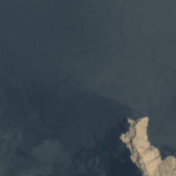
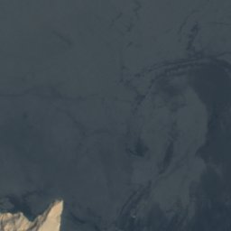



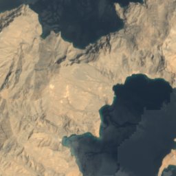
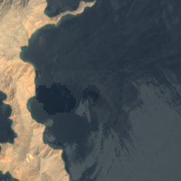



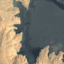
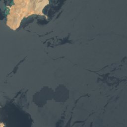
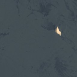


Satellite: Sentinel-2 cloudless 2016 by EOX IT Services GmbH · CC BY 4.0 · Contains modified Copernicus Sentinel data 2016
Umm al-Fayyarin
Kumzar, Musandam Governorate








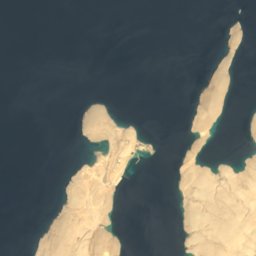
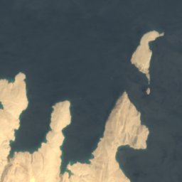



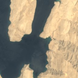
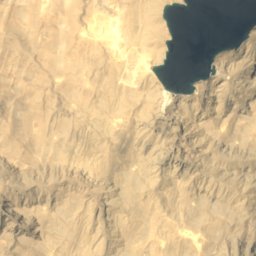
Satellite: Sentinel-2 cloudless 2016 by EOX IT Services GmbH · CC BY 4.0 · Contains modified Copernicus Sentinel data 2016
Jazirat Umm Al-Ghanam
Kumzar, Musandam Governorate





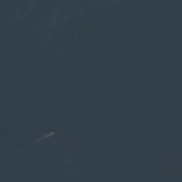






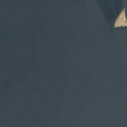
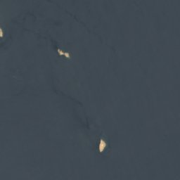

Satellite: Sentinel-2 cloudless 2016 by EOX IT Services GmbH · CC BY 4.0 · Contains modified Copernicus Sentinel data 2016
Quoin Island
Kumzar, Musandam Governorate

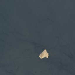

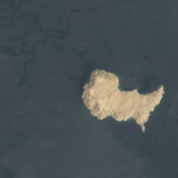
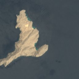

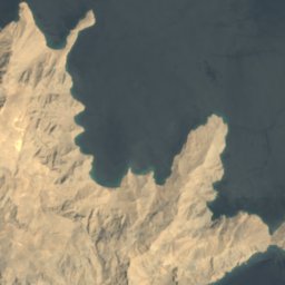
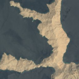

Satellite: Sentinel-2 cloudless 2016 by EOX IT Services GmbH · CC BY 4.0 · Contains modified Copernicus Sentinel data 2016
Musandam Island
Kumzar, Musandam Governorate




Satellite: Sentinel-2 cloudless 2016 by EOX IT Services GmbH · CC BY 4.0 · Contains modified Copernicus Sentinel data 2016
Ennerdale Rock
Kumzar, Musandam Governorate
Caves
Caves of Oman

Rivers
Rivers of Oman


Photo: Prasanth P Narayanan · CC BY-SA 4.0 · Wikimedia CommonsReport this photo · linked, not stored
Wadi Hatta
Shinas, Al Batinah North

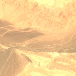
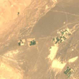
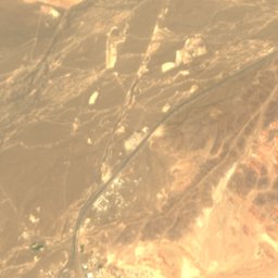
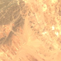
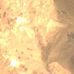
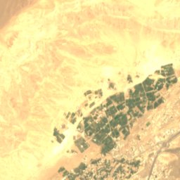
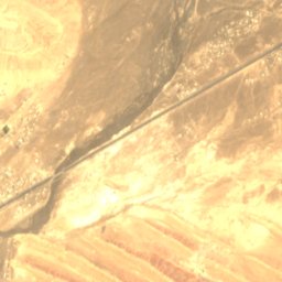
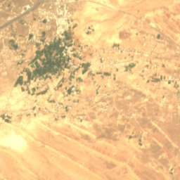
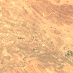
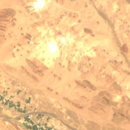
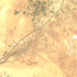
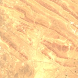
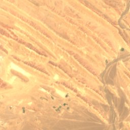
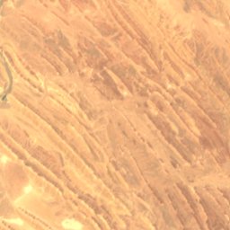
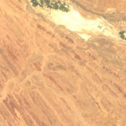
Satellite: Sentinel-2 cloudless 2016 by EOX IT Services GmbH · CC BY 4.0 · Contains modified Copernicus Sentinel data 2016
Wadi Al Hijar
Ibri, Ad Dhahirah
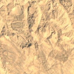
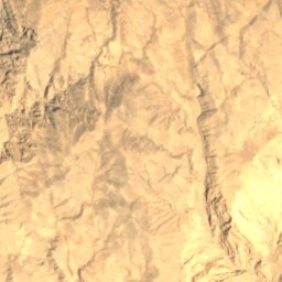
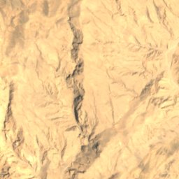
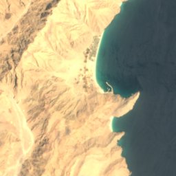

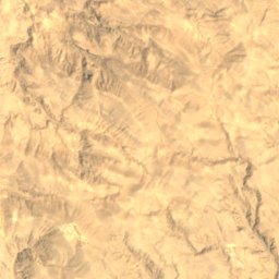
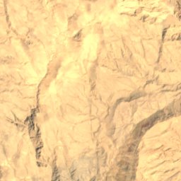
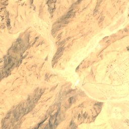
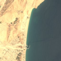

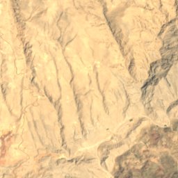
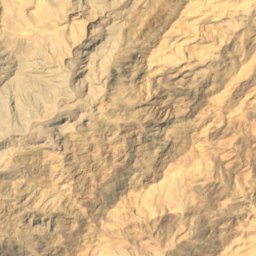
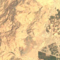
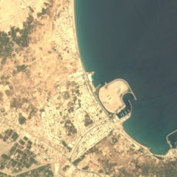
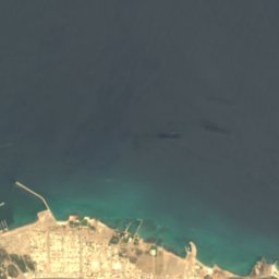
Satellite: Sentinel-2 cloudless 2016 by EOX IT Services GmbH · CC BY 4.0 · Contains modified Copernicus Sentinel data 2016
Wādī Khabb Shamsī
Mīnā’ Dabā, Musandam Governorate
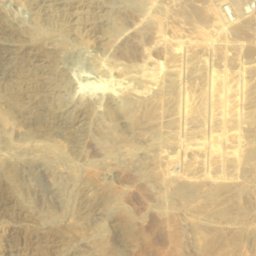
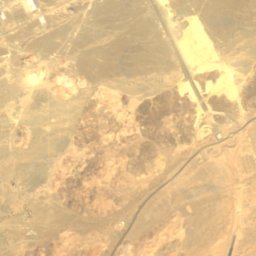
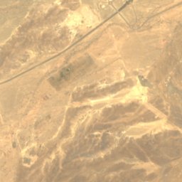
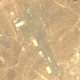
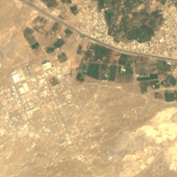
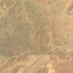
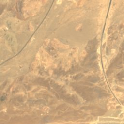
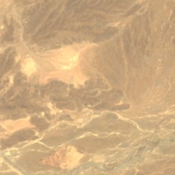
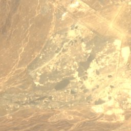
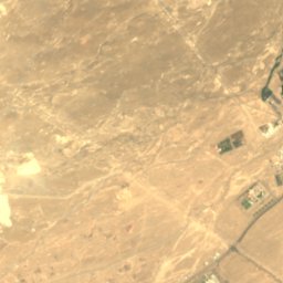
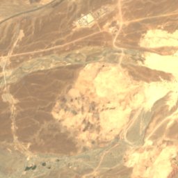
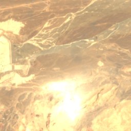
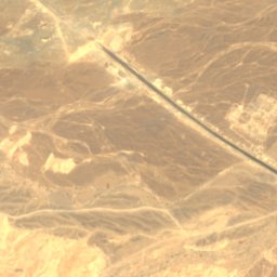
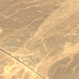
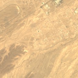


Satellite: Sentinel-2 cloudless 2016 by EOX IT Services GmbH · CC BY 4.0 · Contains modified Copernicus Sentinel data 2016
Jizzi Valley
Sohar, Al Batinah North