自然
オマーンの水辺、氷河、原野
湖、滝、氷河、国立公園、山小屋。それぞれの場所、規模、周辺の天気を掲載。
湖1か所(個別ページあり)
滝2か所(個別ページあり)
島8か所(個別ページあり)
洞窟1か所(個別ページあり)

湖
オマーンの湖

滝
オマーンの滝
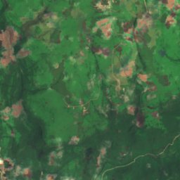
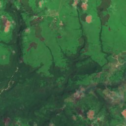
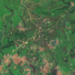
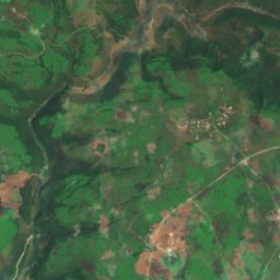
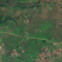
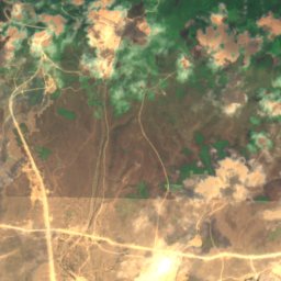
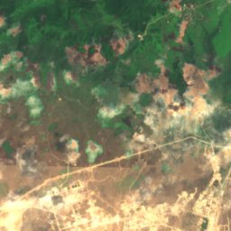
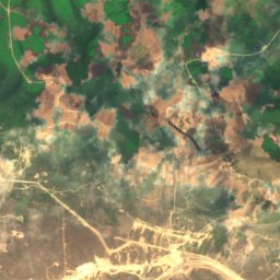
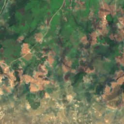
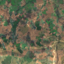
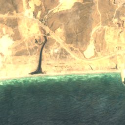
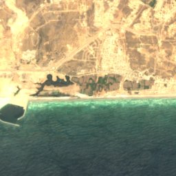
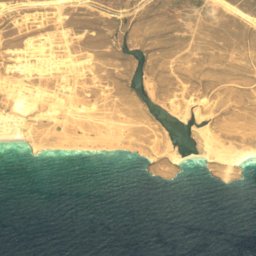
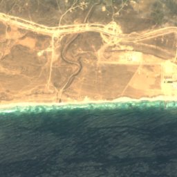
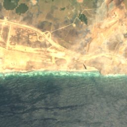
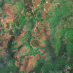
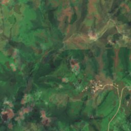
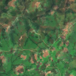
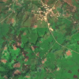
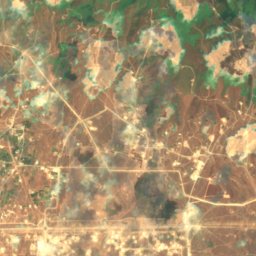
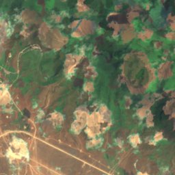
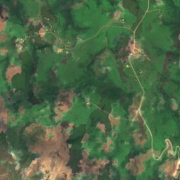
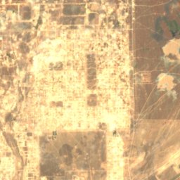
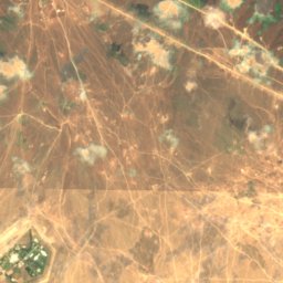
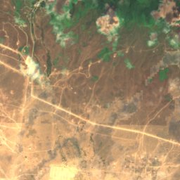
衛星: Sentinel-2 cloudless 2016(EOX IT Services GmbH) · CC BY 4.0 · 改変したCopernicus Sentinelデータ(2016年)を含みます
Dahaq Thū‘ārī
Taqah, ドファール特別行政区
39 m
島
オマーンの島

写真: https://www.flickr.com/photos/mccaffrey_uk/ · CC BY-SA 2.0 · Wikimedia Commonsこの写真を報告 · リンクのみ、保存なし
Telegraph Island
Dib Dibba, ムサンダム特別行政区


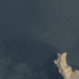
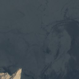



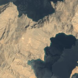
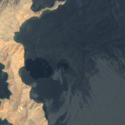



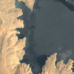
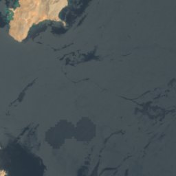
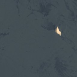


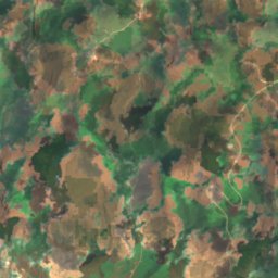
衛星: Sentinel-2 cloudless 2016(EOX IT Services GmbH) · CC BY 4.0 · 改変したCopernicus Sentinelデータ(2016年)を含みます
Umm al-Fayyarin
Kumzar, ムサンダム特別行政区








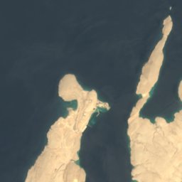
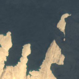



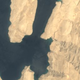
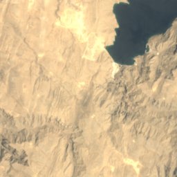
衛星: Sentinel-2 cloudless 2016(EOX IT Services GmbH) · CC BY 4.0 · 改変したCopernicus Sentinelデータ(2016年)を含みます
Jazirat Umm Al-Ghanam
Kumzar, ムサンダム特別行政区











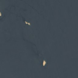

衛星: Sentinel-2 cloudless 2016(EOX IT Services GmbH) · CC BY 4.0 · 改変したCopernicus Sentinelデータ(2016年)を含みます
Quoin Island
Kumzar, ムサンダム特別行政区

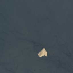

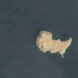
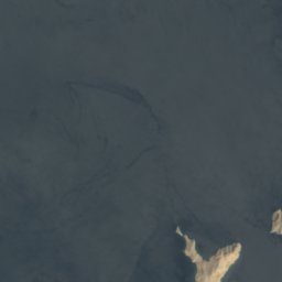
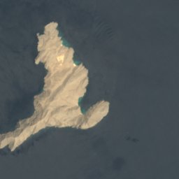

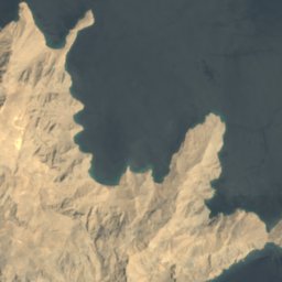
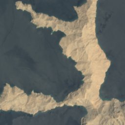

衛星: Sentinel-2 cloudless 2016(EOX IT Services GmbH) · CC BY 4.0 · 改変したCopernicus Sentinelデータ(2016年)を含みます
Musandam Island
Kumzar, ムサンダム特別行政区




衛星: Sentinel-2 cloudless 2016(EOX IT Services GmbH) · CC BY 4.0 · 改変したCopernicus Sentinelデータ(2016年)を含みます
Ennerdale Rock
Kumzar, ムサンダム特別行政区
洞窟
オマーンの洞窟

川
オマーンの川


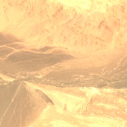
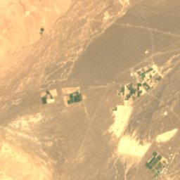
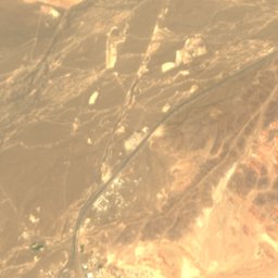
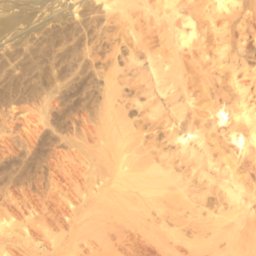
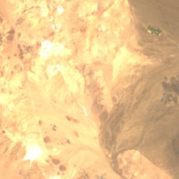
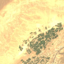
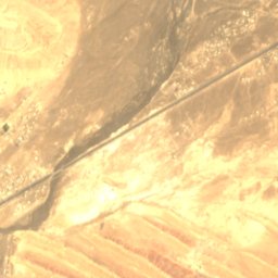
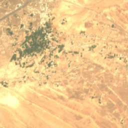
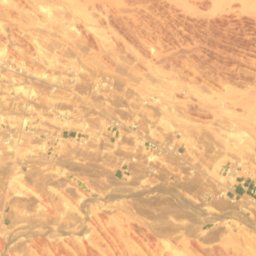
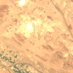
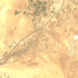
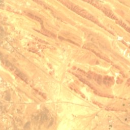
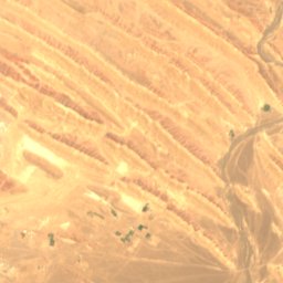
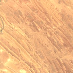
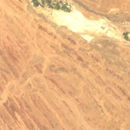
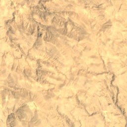
衛星: Sentinel-2 cloudless 2016(EOX IT Services GmbH) · CC BY 4.0 · 改変したCopernicus Sentinelデータ(2016年)を含みます
Wadi Al Hijar
イブリー, ザーヒラ行政区
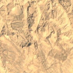
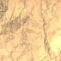
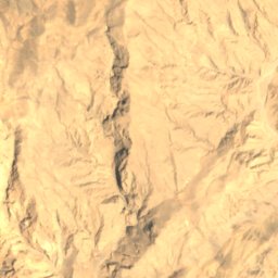
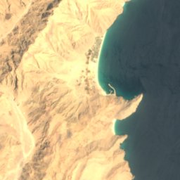

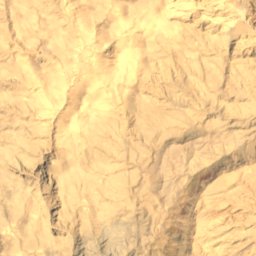
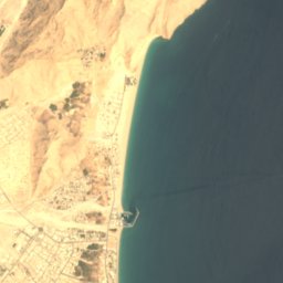

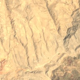
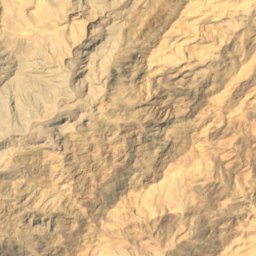
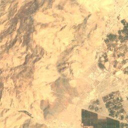
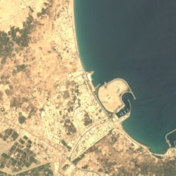
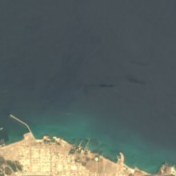
衛星: Sentinel-2 cloudless 2016(EOX IT Services GmbH) · CC BY 4.0 · 改変したCopernicus Sentinelデータ(2016年)を含みます
Wādī Khabb Shamsī
Mīnā’ Dabā, ムサンダム特別行政区
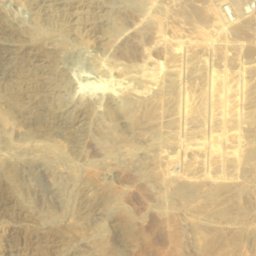
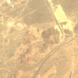
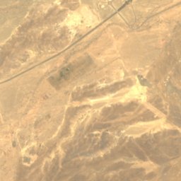
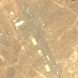
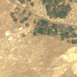
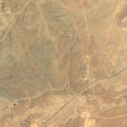
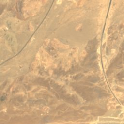
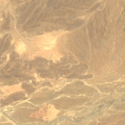
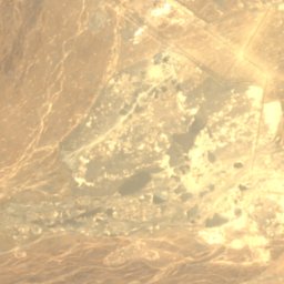
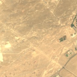
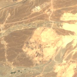
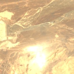
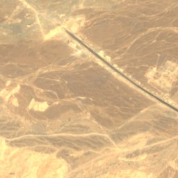
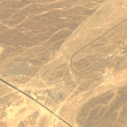
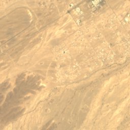


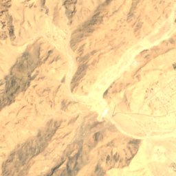
衛星: Sentinel-2 cloudless 2016(EOX IT Services GmbH) · CC BY 4.0 · 改変したCopernicus Sentinelデータ(2016年)を含みます
Jizzi Valley
ソハール, 北バーティナ行政区