Nature
Waters, ice and wild places of North Korea
Lakes, waterfalls, glaciers, national parks and mountain huts, each with its location, its size and the weather of the towns around it.
Lakes41with a page
Waterfalls3with a page
Beaches1with a page
Islands28with a page

Photo: Mark Fahey from Sydney, Australia · CC BY 2.0 · Wikimedia CommonsReport this photo · linked, not stored
Lakes
Lakes of North Korea

Photo: Mark Fahey from Sydney, Australia · CC BY 2.0 · Wikimedia CommonsReport this photo · linked, not stored
Samjiyŏn
Samjiyŏn-ŭp, Yanggang-do
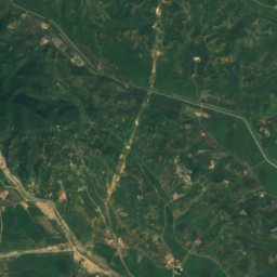
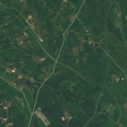
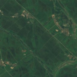
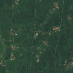
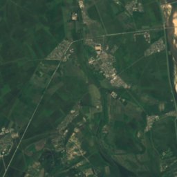
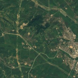
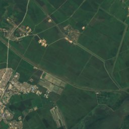
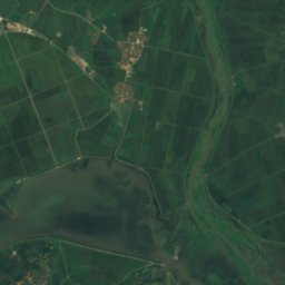
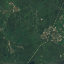
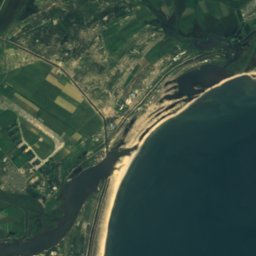
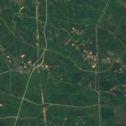
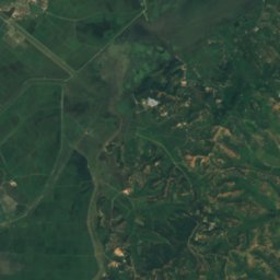
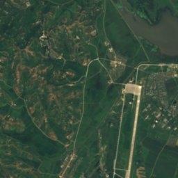
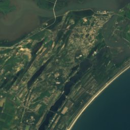
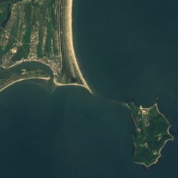
Satellite: Sentinel-2 cloudless 2016 by EOX IT Services GmbH · CC BY 4.0 · Contains modified Copernicus Sentinel data 2016
Lake Kwangpo
Hamhung, South Hamgyong
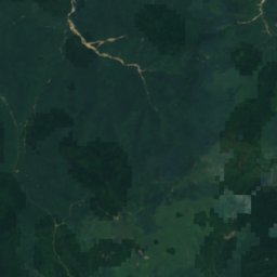
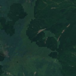
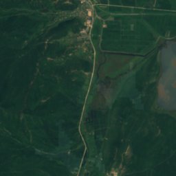
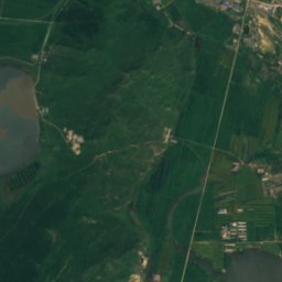
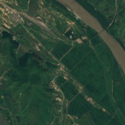
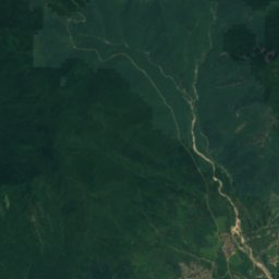
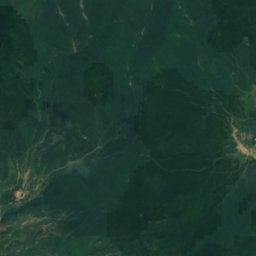
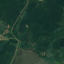
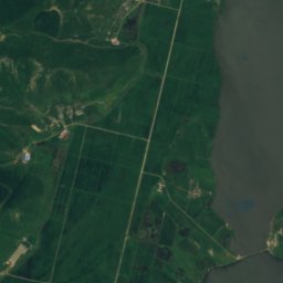
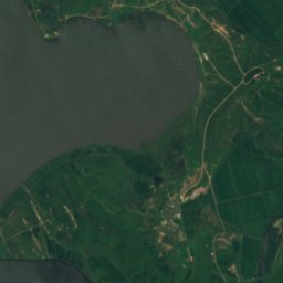
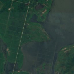
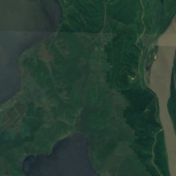
Satellite: Sentinel-2 cloudless 2016 by EOX IT Services GmbH · CC BY 4.0 · Contains modified Copernicus Sentinel data 2016
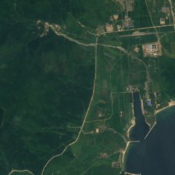
Lake Manpo and Lake Bonpo Important Bird Area
Unggi, Rason















Satellite: Sentinel-2 cloudless 2016 by EOX IT Services GmbH · CC BY 4.0 · Contains modified Copernicus Sentinel data 2016
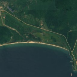
Lake Tungjong and Lake Chonapo Important Bird Area
Wonsan, Kangwŏn-do
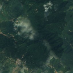
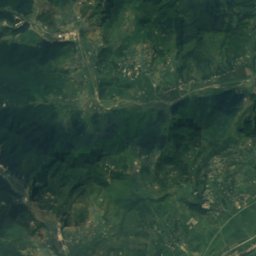
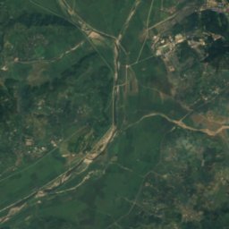
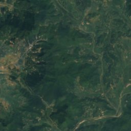
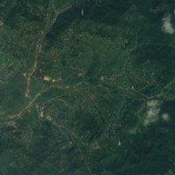
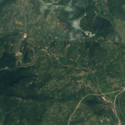
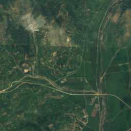
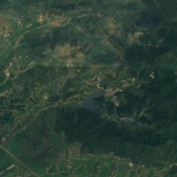
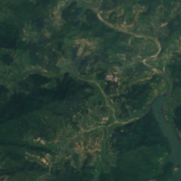
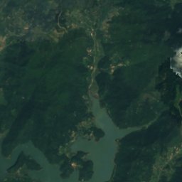
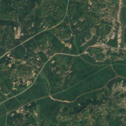
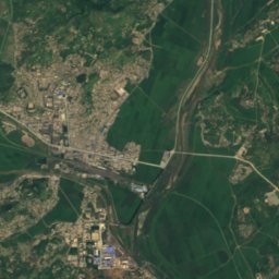
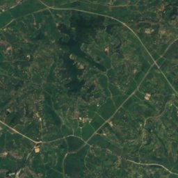
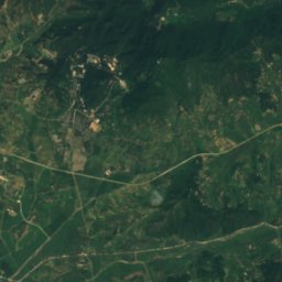
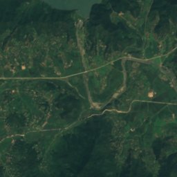
Satellite: Sentinel-2 cloudless 2016 by EOX IT Services GmbH · CC BY 4.0 · Contains modified Copernicus Sentinel data 2016
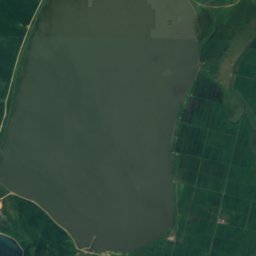
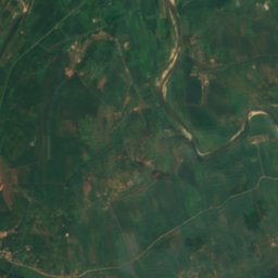
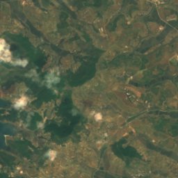
Anhŭng-jŏsuji
Panghyon-dong, P'yŏngan-bukto
62 m
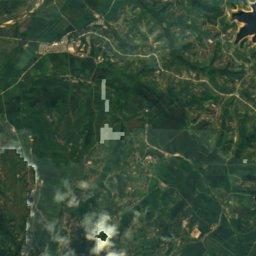
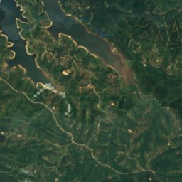
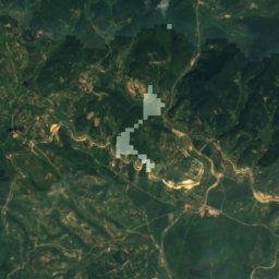
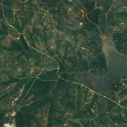
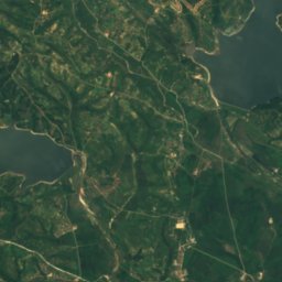
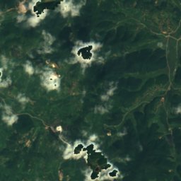
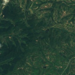
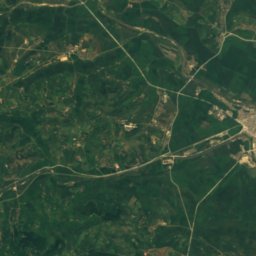
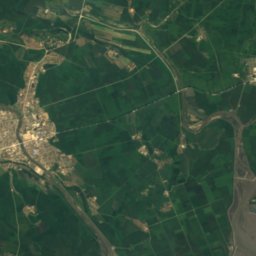
Satellite: Sentinel-2 cloudless 2016 by EOX IT Services GmbH · CC BY 4.0 · Contains modified Copernicus Sentinel data 2016
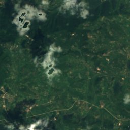
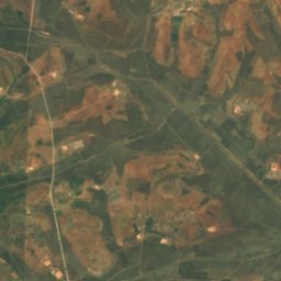
Ch'wiya-jŏsuji
Haeju, South Hwanghae
26 m
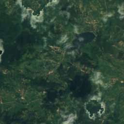
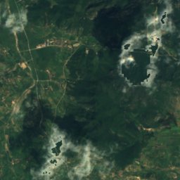
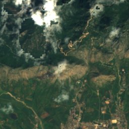
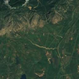
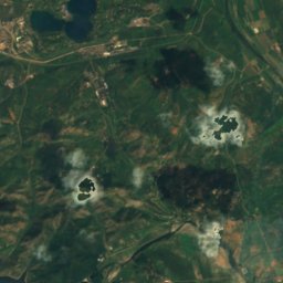
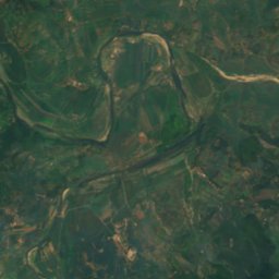
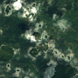
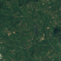
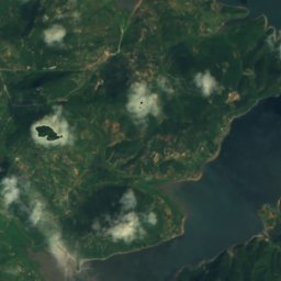
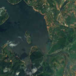
Satellite: Sentinel-2 cloudless 2016 by EOX IT Services GmbH · CC BY 4.0 · Contains modified Copernicus Sentinel data 2016
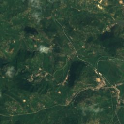
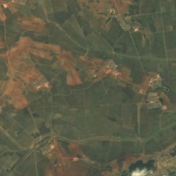
Changsu-ho
Haeju, South Hwanghae
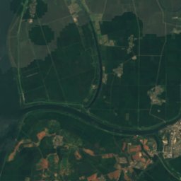
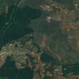
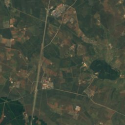
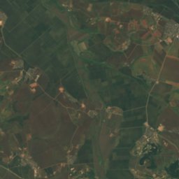
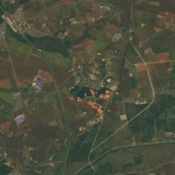
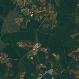
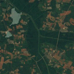
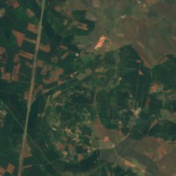
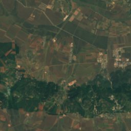
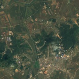
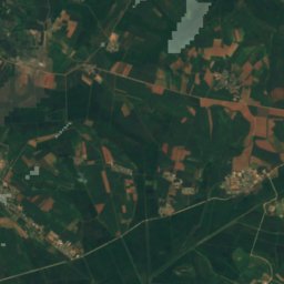
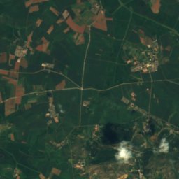
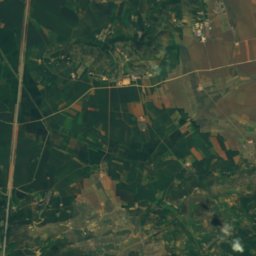
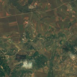
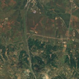
Satellite: Sentinel-2 cloudless 2016 by EOX IT Services GmbH · CC BY 4.0 · Contains modified Copernicus Sentinel data 2016
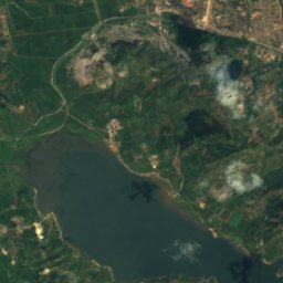
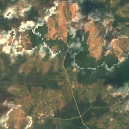
Chin'gwang-jŏsuji
Chunghwa, Pyongyang
18 m
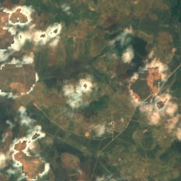
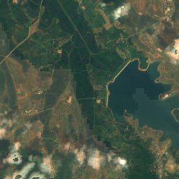
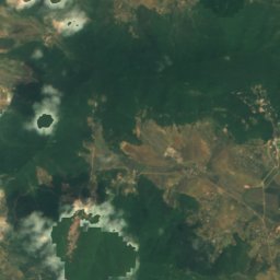
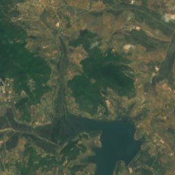
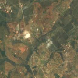
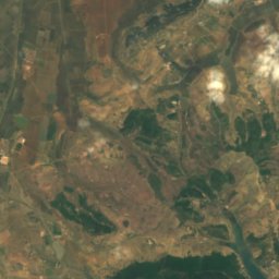
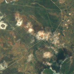
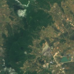
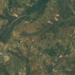
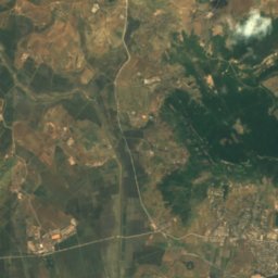
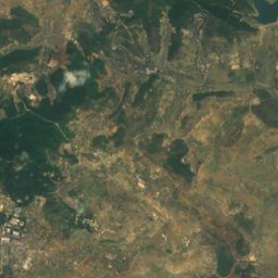
Satellite: Sentinel-2 cloudless 2016 by EOX IT Services GmbH · CC BY 4.0 · Contains modified Copernicus Sentinel data 2016
Haksong-jŏsuji
Ryonggang-ŭp, Nampo
27 m
All 41 lakes
- Anhŭng-jŏsuji
- Ch'wiya-jŏsuji
- Changsu-ho
- Chin'gwang-jŏsuji
- Haksong-jŏsuji
- Ido-jŏsuji
- Imwŏn-jŏsuji
- Kangnyŏng-chŏsuji
- Kuam-ho
- Kŭmgang-jŏsuji
- Kusŏng-jŏsuji
- Kwangmyŏng-jŏsuji
- Kyŏllyong-jŏsuji
- Lake Kwangpo
- Lake Manpo and Lake Bonpo Important Bird Area
- lake Michon
- Lake Tungjong and Lake Chonapo Important Bird Area
- Mansu-jŏsuji
- Myŏngsu-jŏsuji
- Ŏbusan-jŏsuji
- Ongnyŏn-ji
- Ŏryong-jŏsuji
- P'allyŏng-jŏsuji
- Pongdŏk-chŏsuji
- Puch'ŏn-jŏsuji
- Samjiyŏn
- Sin'gwang-jŏsuji
- Sŏktam-jŏsuji
- Sŏnam-jŏsuji
- T'aech'ŏn-jŏsuji
- Taesŏng-jŏsuji
- Tarŭn-jŏsuji
- Tŏksang-jŏsuji
- Tongam-jŏsuji
- Unbong-jŏsuji
- Unjŏn-jŏsuji
- Ŭnp'a-ho
- Wŏlch'on-jŏsuji
- Yeŭi-jŏsuji
- Yongho-jŏsuji
- Yŏnp'ung-ho
Waterfalls
Waterfalls of North Korea


Photo: Mark Scott Johnson from Sydney, Australia · CC BY 2.0 · Wikimedia CommonsReport this photo · linked, not stored
Rimyongsu Waterfall
Samjiyŏn-ŭp, Yanggang-do
15 m drop

Photo: John Pavelka from Austin, TX, USA · CC BY 2.0 · Wikimedia CommonsReport this photo · linked, not stored
Pakyon Falls
Kaesong, Kaesong
Beaches
Beaches of North Korea

Photo: Uri Tours (uritours.com) · CC BY-SA 2.0 · Wikimedia CommonsReport this photo · linked, not stored
Songdowŏn
Wonsan, Kangwŏn-do
Islands
Islands of North Korea


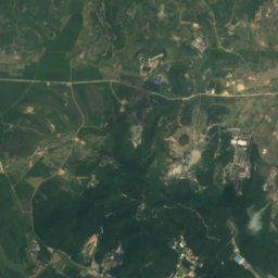
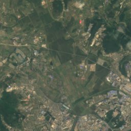
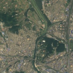
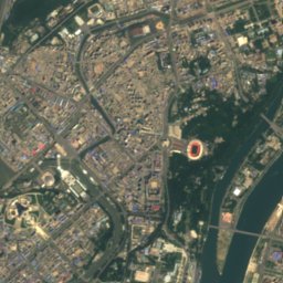
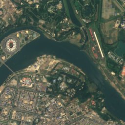
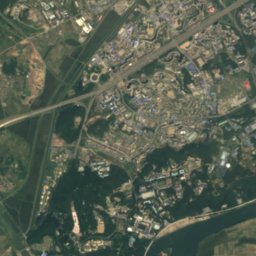
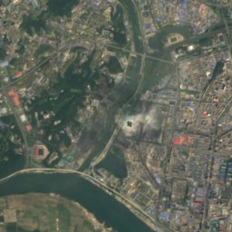
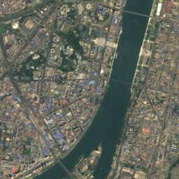
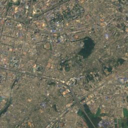
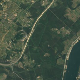
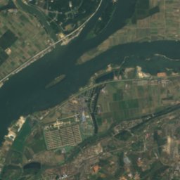
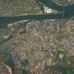
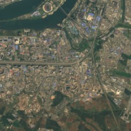
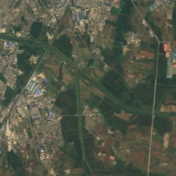
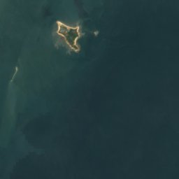
Satellite: Sentinel-2 cloudless 2016 by EOX IT Services GmbH · CC BY 4.0 · Contains modified Copernicus Sentinel data 2016
Ssuk Islet
Twimoraet’ŏ, Pyongyang















Satellite: Sentinel-2 cloudless 2016 by EOX IT Services GmbH · CC BY 4.0 · Contains modified Copernicus Sentinel data 2016
Ryŏdo
Wonsan, Kangwŏn-do
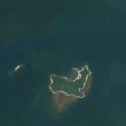


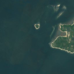
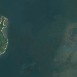




Satellite: Sentinel-2 cloudless 2016 by EOX IT Services GmbH · CC BY 4.0 · Contains modified Copernicus Sentinel data 2016
Taesuap Island
Haeju, South Hwanghae


Caves
Caves of North Korea

Photo: David Stanley from Nanaimo, Canada · CC BY 2.0 · Wikimedia CommonsReport this photo · linked, not stored
Songam Cavern
Sinanju, South Pyongan
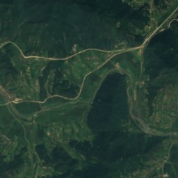
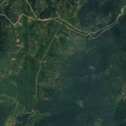
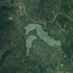
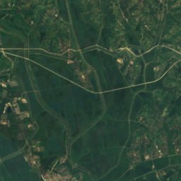
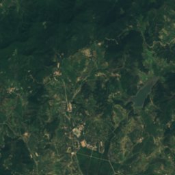
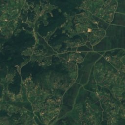
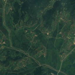
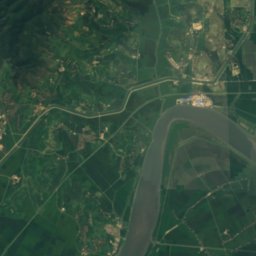
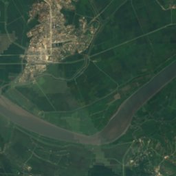
Satellite: Sentinel-2 cloudless 2016 by EOX IT Services GmbH · CC BY 4.0 · Contains modified Copernicus Sentinel data 2016
Ryongmun Cave
Sinanju, South Pyongan
Rivers
Rivers of North Korea


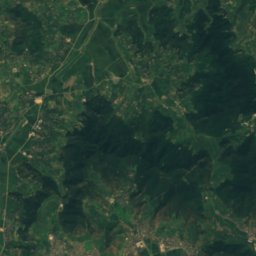
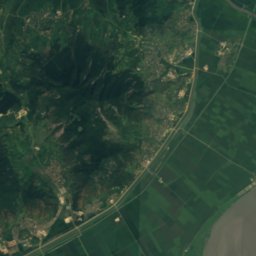
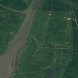
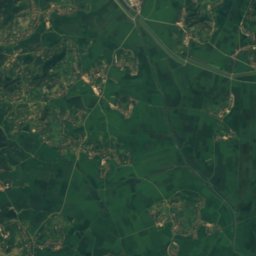
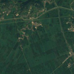
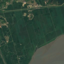
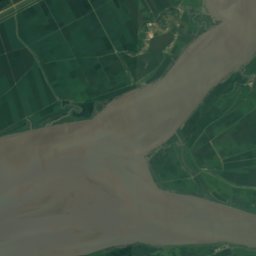
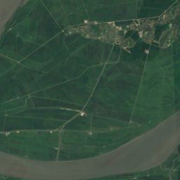
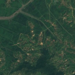
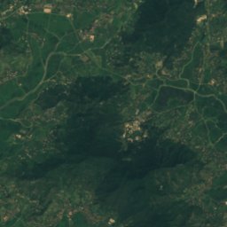
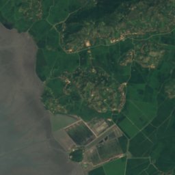
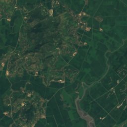
Satellite: Sentinel-2 cloudless 2016 by EOX IT Services GmbH · CC BY 4.0 · Contains modified Copernicus Sentinel data 2016
Ch'ongch'on River
Sinanju, South Pyongan
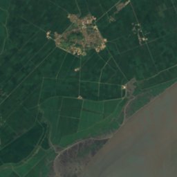
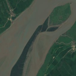
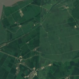
Satellite: Sentinel-2 cloudless 2016 by EOX IT Services GmbH · CC BY 4.0 · Contains modified Copernicus Sentinel data 2016
Taeryong River
Sinanju, South Pyongan
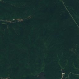
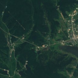
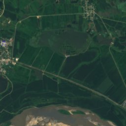
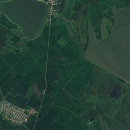
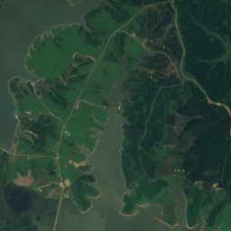
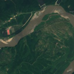
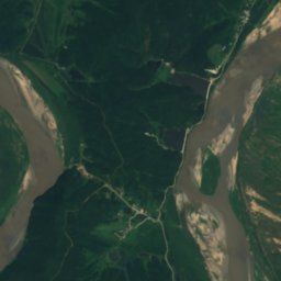
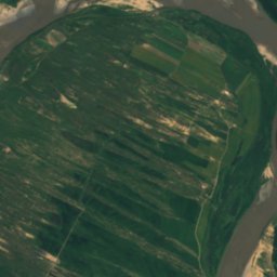
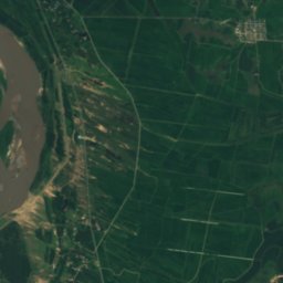
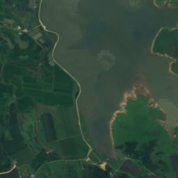
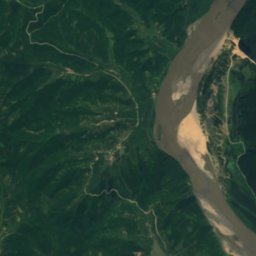
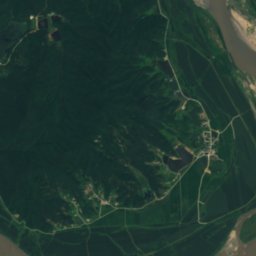
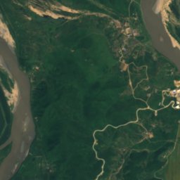
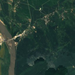
Satellite: Sentinel-2 cloudless 2016 by EOX IT Services GmbH · CC BY 4.0 · Contains modified Copernicus Sentinel data 2016
Wujiazi Chuan
Aoji-ri, North Hamgyong
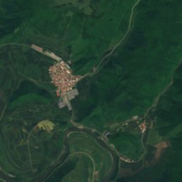
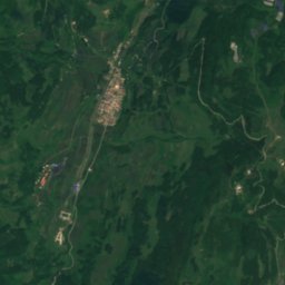
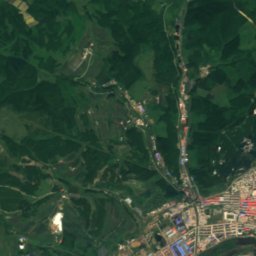
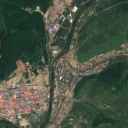
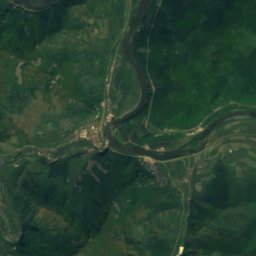
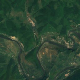
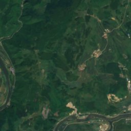
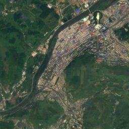
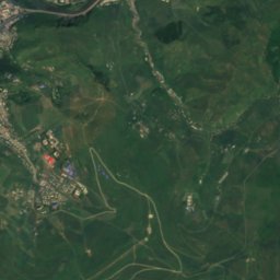
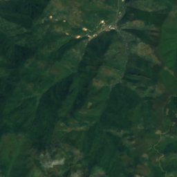
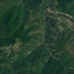
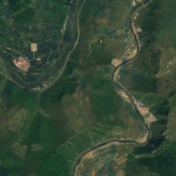
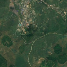
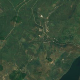


Satellite: Sentinel-2 cloudless 2016 by EOX IT Services GmbH · CC BY 4.0 · Contains modified Copernicus Sentinel data 2016
Hochon River
Hyesan, Yanggang-do