자연
북한의 물가, 빙하, 야생
호수, 폭포, 빙하, 국립공원, 산장. 각각의 위치, 규모, 주변 날씨를 소개합니다.
호수41곳(개별 페이지 있음)
폭포3곳(개별 페이지 있음)
해변1곳(개별 페이지 있음)
섬28곳(개별 페이지 있음)

호수
북한의 호수

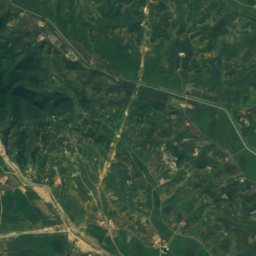
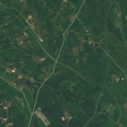
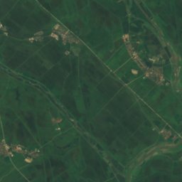
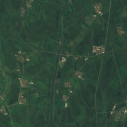
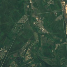
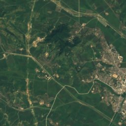
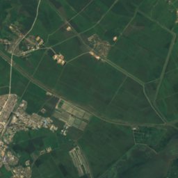
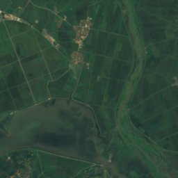
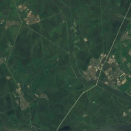
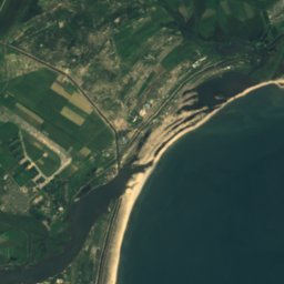
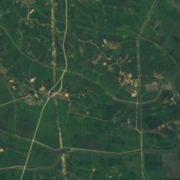
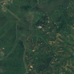
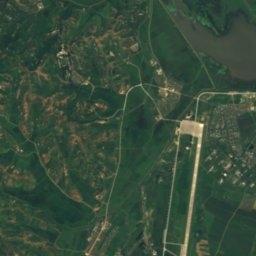
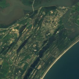
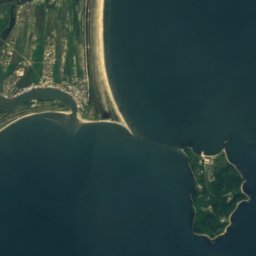
위성: Sentinel-2 cloudless 2016(EOX IT Services GmbH) · CC BY 4.0 · 수정된 Copernicus Sentinel 데이터(2016) 포함
Lake Kwangpo
Hamhung, South Hamgyong
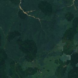
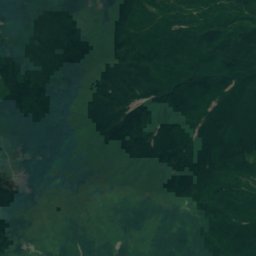
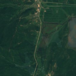
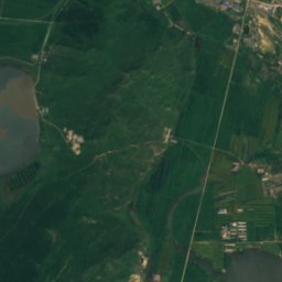
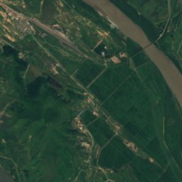
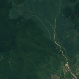
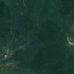
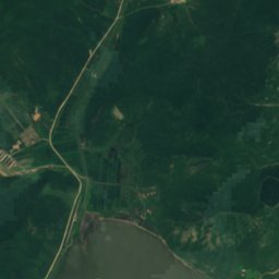
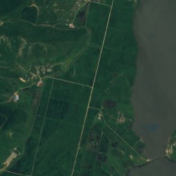
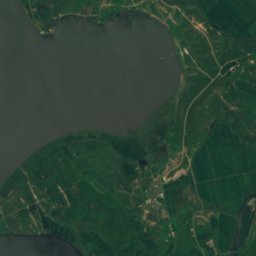
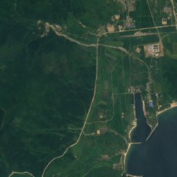
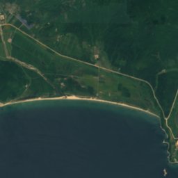
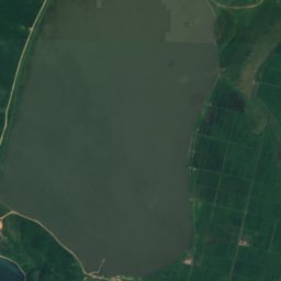
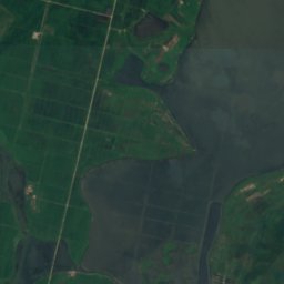
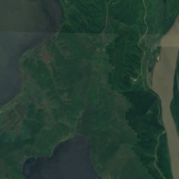
위성: Sentinel-2 cloudless 2016(EOX IT Services GmbH) · CC BY 4.0 · 수정된 Copernicus Sentinel 데이터(2016) 포함
Lake Manpo and Lake Bonpo Important Bird Area
Unggi, Rason















위성: Sentinel-2 cloudless 2016(EOX IT Services GmbH) · CC BY 4.0 · 수정된 Copernicus Sentinel 데이터(2016) 포함
Lake Tungjong and Lake Chonapo Important Bird Area
Wonsan, Kangwŏn-do
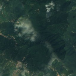
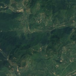
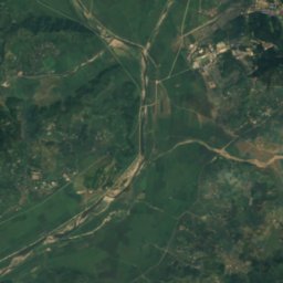
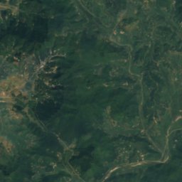
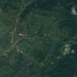
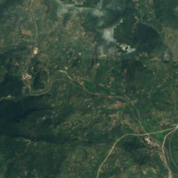
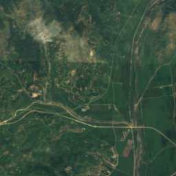
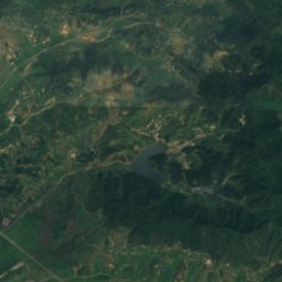
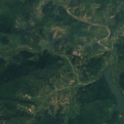
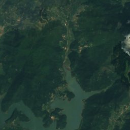
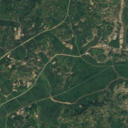
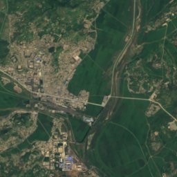
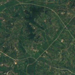
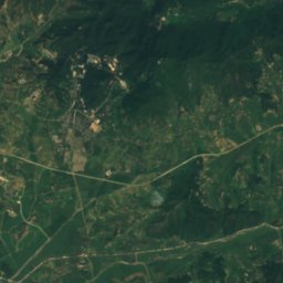
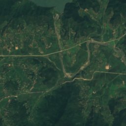
위성: Sentinel-2 cloudless 2016(EOX IT Services GmbH) · CC BY 4.0 · 수정된 Copernicus Sentinel 데이터(2016) 포함
안흥저수지
Panghyon-dong, P'yŏngan-bukto
62 m
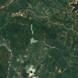
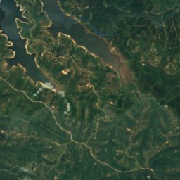
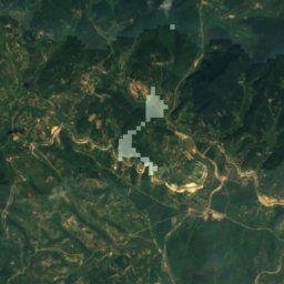
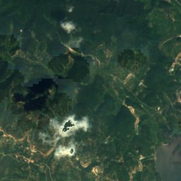
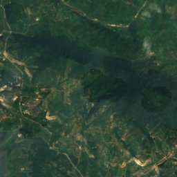
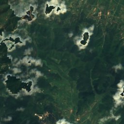
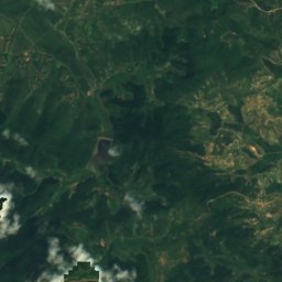
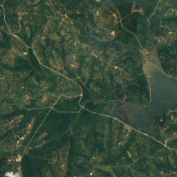
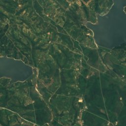
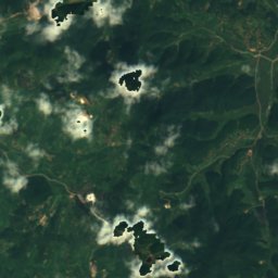
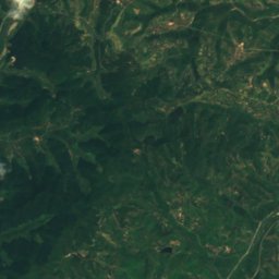
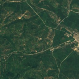
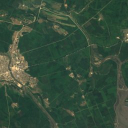
위성: Sentinel-2 cloudless 2016(EOX IT Services GmbH) · CC BY 4.0 · 수정된 Copernicus Sentinel 데이터(2016) 포함
취야저수지
Haeju, South Hwanghae
26 m
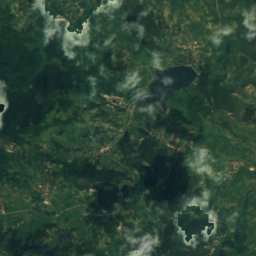
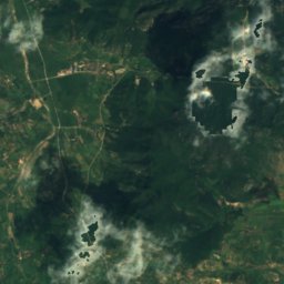
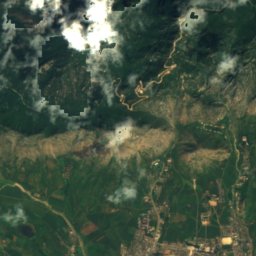
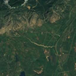
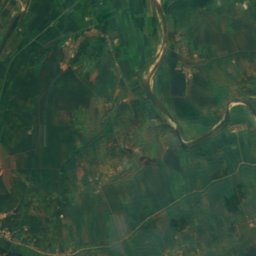
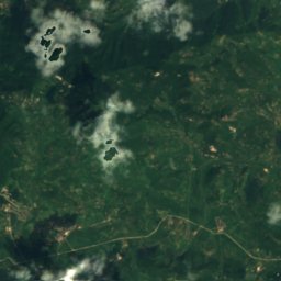
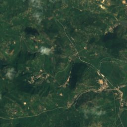
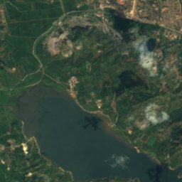
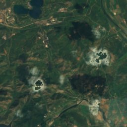
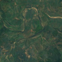
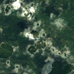
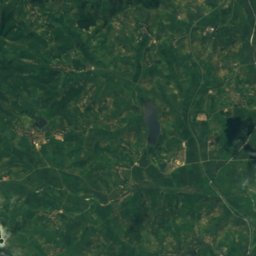
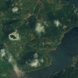
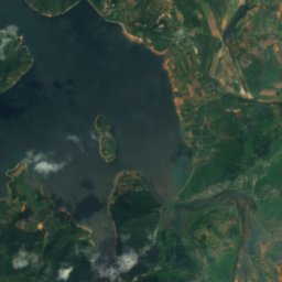
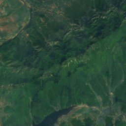
위성: Sentinel-2 cloudless 2016(EOX IT Services GmbH) · CC BY 4.0 · 수정된 Copernicus Sentinel 데이터(2016) 포함
장수호
Haeju, South Hwanghae
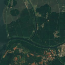
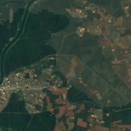
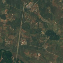
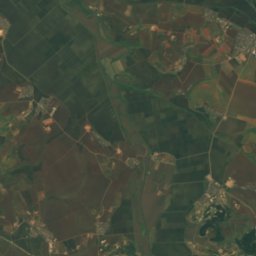
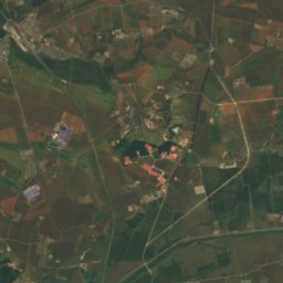
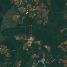
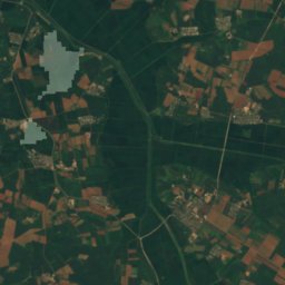
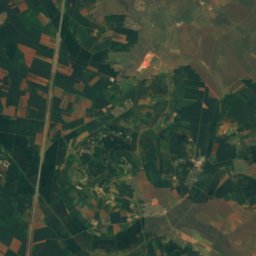
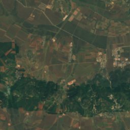
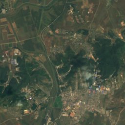
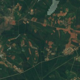
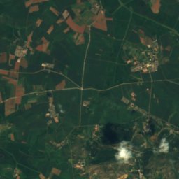
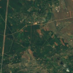
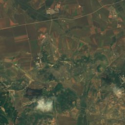
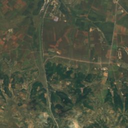
위성: Sentinel-2 cloudless 2016(EOX IT Services GmbH) · CC BY 4.0 · 수정된 Copernicus Sentinel 데이터(2016) 포함
진광저수지
Chunghwa, Pyongyang
18 m
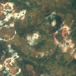
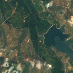
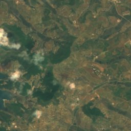
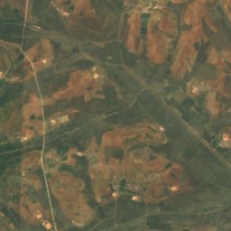
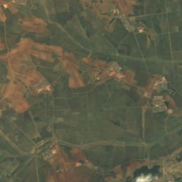
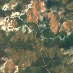
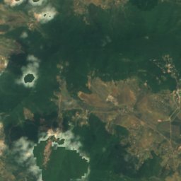
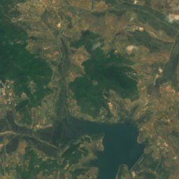
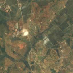
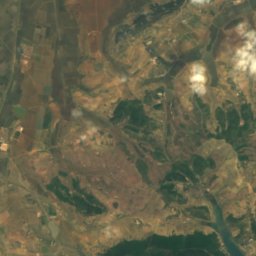
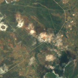
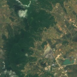
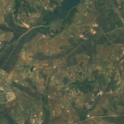
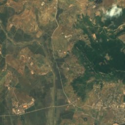
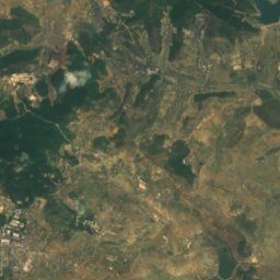
위성: Sentinel-2 cloudless 2016(EOX IT Services GmbH) · CC BY 4.0 · 수정된 Copernicus Sentinel 데이터(2016) 포함
Haksong-jŏsuji
Ryonggang-ŭp, Nampo
27 m
전체 목록: 호수 41곳
- 광명저수지
- 구암호
- 금강저수지
- 대성저수지
- 례의저수지
- 만수저수지
- 명수저수지
- 봉덕저수지
- 부천저수지
- 삼지연
- 석담저수지
- 선암저수지
- 신광저수지
- 안흥저수지
- 연풍호
- 운전저수지
- 월촌저수지
- 은봉저수지
- 은파호
- 이도저수지
- 임원저수지
- 장수호
- 진광저수지
- 취야저수지
- Haksong-jŏsuji
- Kangnyŏng-chŏsuji
- Kusŏng-jŏsuji
- Kyŏllyong-jŏsuji
- Lake Kwangpo
- Lake Manpo and Lake Bonpo Important Bird Area
- lake Michon
- Lake Tungjong and Lake Chonapo Important Bird Area
- Ŏbusan-jŏsuji
- Ongnyŏn-ji
- Ŏryong-jŏsuji
- P'allyŏng-jŏsuji
- T'aech'ŏn-jŏsuji
- Tarŭn-jŏsuji
- Tŏksang-jŏsuji
- Tongam-jŏsuji
- Yongho-jŏsuji
폭포
북한의 폭포


해변
북한의 해변

섬
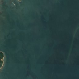
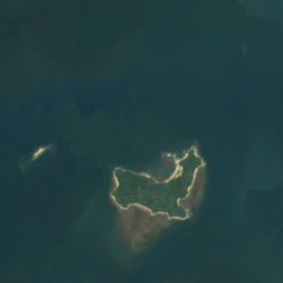
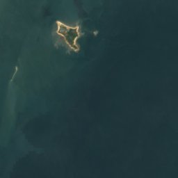
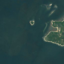
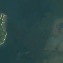
북한의 섬


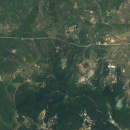
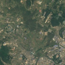
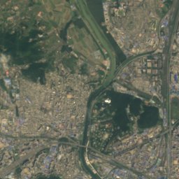
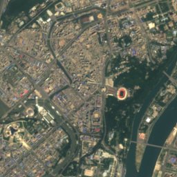
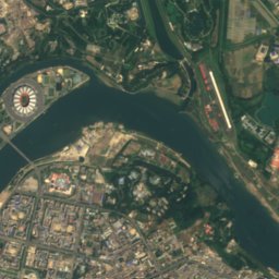
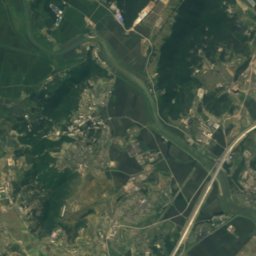
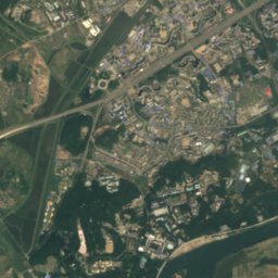
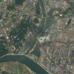
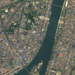
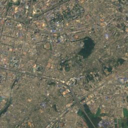
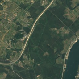
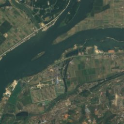
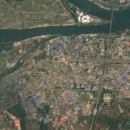
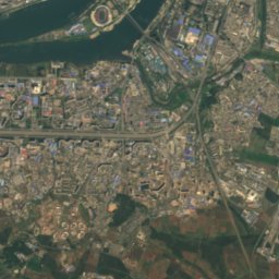
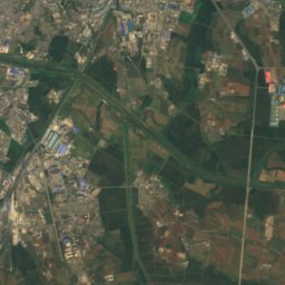
위성: Sentinel-2 cloudless 2016(EOX IT Services GmbH) · CC BY 4.0 · 수정된 Copernicus Sentinel 데이터(2016) 포함
쑥섬
Twimoraet’ŏ, Pyongyang















위성: Sentinel-2 cloudless 2016(EOX IT Services GmbH) · CC BY 4.0 · 수정된 Copernicus Sentinel 데이터(2016) 포함
려도
Wonsan, Kangwŏn-do











동굴
북한의 동굴

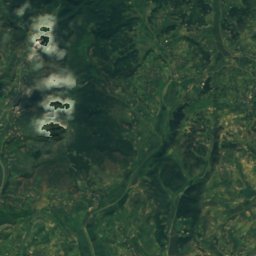
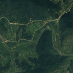
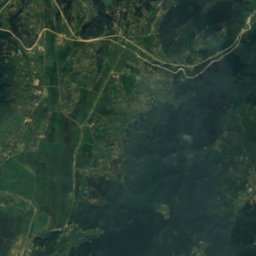
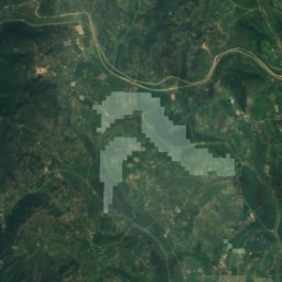
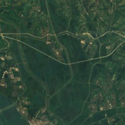
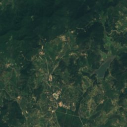
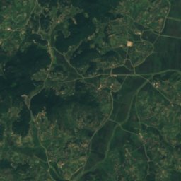
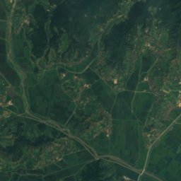
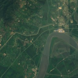
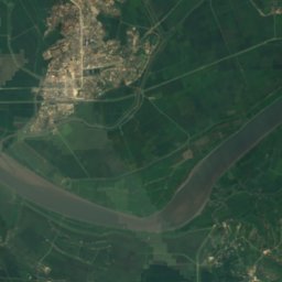
위성: Sentinel-2 cloudless 2016(EOX IT Services GmbH) · CC BY 4.0 · 수정된 Copernicus Sentinel 데이터(2016) 포함
Ryongmun Cave
Sinanju, South Pyongan
강
북한의 강


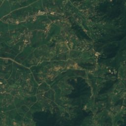
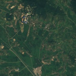
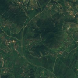
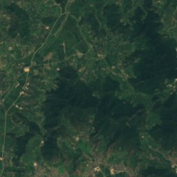
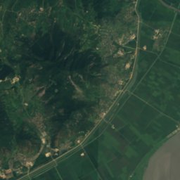
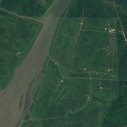
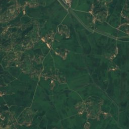
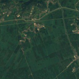
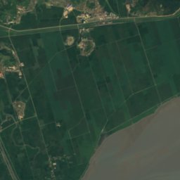
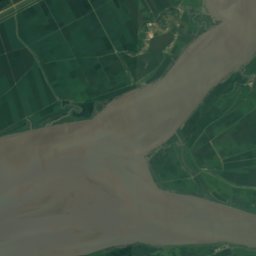
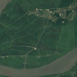
위성: Sentinel-2 cloudless 2016(EOX IT Services GmbH) · CC BY 4.0 · 수정된 Copernicus Sentinel 데이터(2016) 포함
청천강
Sinanju, South Pyongan
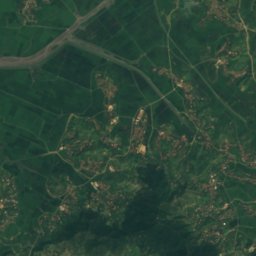
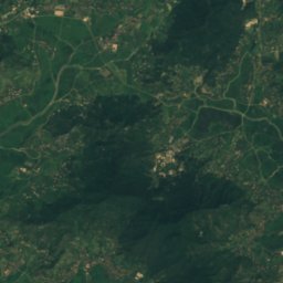
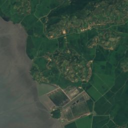
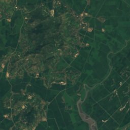
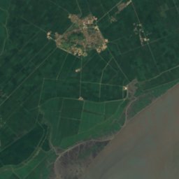
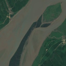
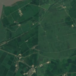
위성: Sentinel-2 cloudless 2016(EOX IT Services GmbH) · CC BY 4.0 · 수정된 Copernicus Sentinel 데이터(2016) 포함
대령강
Sinanju, South Pyongan
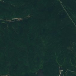
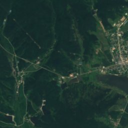
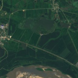
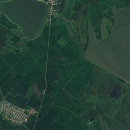
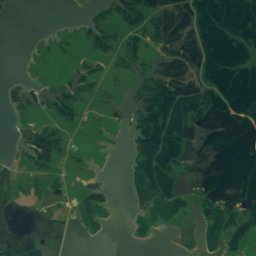
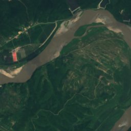
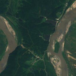
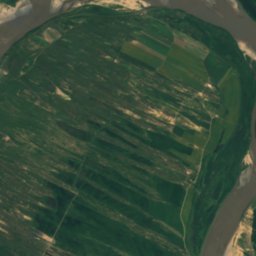
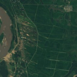
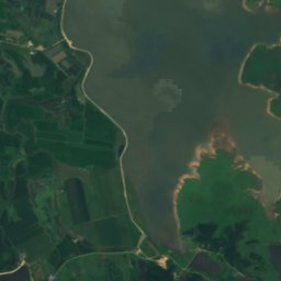
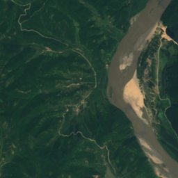
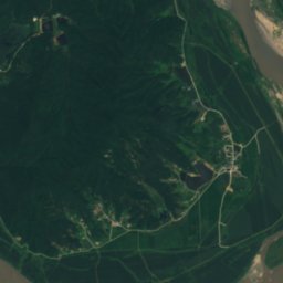
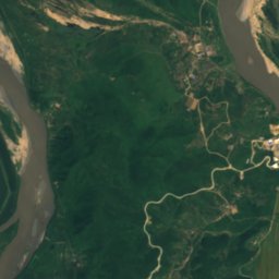
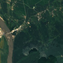
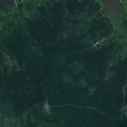
위성: Sentinel-2 cloudless 2016(EOX IT Services GmbH) · CC BY 4.0 · 수정된 Copernicus Sentinel 데이터(2016) 포함
촨허
Aoji-ri, North Hamgyong
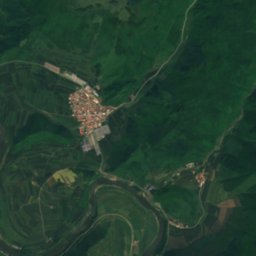
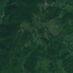
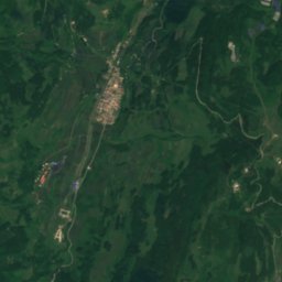
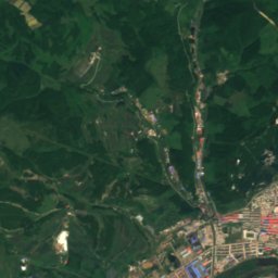
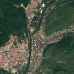
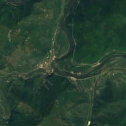
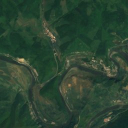
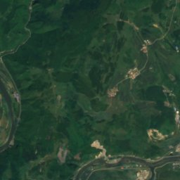
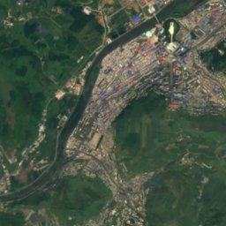
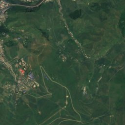
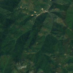
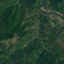
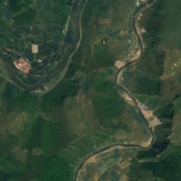
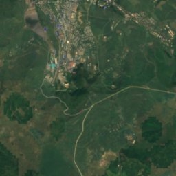
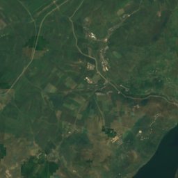


위성: Sentinel-2 cloudless 2016(EOX IT Services GmbH) · CC BY 4.0 · 수정된 Copernicus Sentinel 데이터(2016) 포함
Hochon River
Hyesan, Yanggang-do