Skip to content
Destinations
Weather & climate
Nature
Outdoors
Culture
Events
Sky & live
Warenar
Photo: Gouwenaar · CC0 · Wikimedia Commons
WarenarReport this photo · linked, not stored
De Drost
Photo: Gouwenaar · CC0 · Wikimedia Commons
De DrostReport this photo · linked, not stored
De Drost
Hooft
Photo: Apdency · CC0 · Wikimedia Commons
HooftReport this photo · linked, not stored
Hooft
Vecht
Photo: F.Lang · CC BY-SA 3.0 · Wikimedia Commons
VechtReport this photo · linked, not stored
Vecht
Pampus
Photo: Rijksdienst voor het Cultureel Erfgoed · CC BY-SA 4.0 · Wikimedia Commons
PampusReport this photo · linked, not stored
Pampus
IslandMuiden, North Holland

Warenar

IslandBest May–Jun · Sep
Elevation–above sea level
Area0.0 km²surface
Nearest townMuiden2.5 km
52.35° N, 5.09° EUTC+2 · Central European Summer Time
When to goMuiden · weather score
JanFebMarAprMayJunJulAugSepOctNovDec44October
Best timeMay–Jun · Sep
October: high / low15° / 7°
Island

Warenar in brief

Warenar is an island in Muiden, North Holland, Netherlands.

It covers about 0.0 km².

The nearest town in the atlas is Muiden, 2.5 km to the SW, where the weather is best in May, June and September.

Muiden: weather and travel guide

Weather nearby now

Forecast for Muiden
12°
Partly cloudy now
Wind17 km/h
Humidity82%
Cloud cover20%
Today
22 Oct
13°
6°
8 mm
Fri
23 Oct
15°
7°
20 mm
Sat
24 Oct
13°
8°
19 mm
Sun
25 Oct
14°
8°
17 mm
Mon
26 Oct
13°
9°
3 mm

Model run 00:00 UTCRefreshed several times a day

When to go

The best months around Warenar

Climate of Muiden

Month score in Muiden

Comfort, dry days and sunshine · out of 100
16
Jan
21
Feb
27
Mar
57
Apr
66
May
67
Jun
65
Jul
65
Aug
66
Sep
44
Oct
17
Nov
15
Dec
Map

Warenar from above

Photo: Gouwenaar · CC0 · Wikimedia CommonsReport this photo · linked, not stored
De DrostIsland0.7 kmWDe Drost
Photo: Apdency · CC0 · Wikimedia CommonsReport this photo · linked, not stored
HooftIsland0.9 kmEHooft
Photo: F.Lang · CC BY-SA 3.0 · Wikimedia CommonsReport this photo · linked, not stored
VechtRiver2.0 kmSWVecht
Photo: Rijksdienst voor het Cultureel Erfgoed · CC BY-SA 4.0 · Wikimedia CommonsReport this photo · linked, not stored
PampusIsland2.5 kmNWPampus
Photo: Localguidecontributions · CC BY-SA 4.0 · Wikimedia CommonsReport this photo · linked, not stored
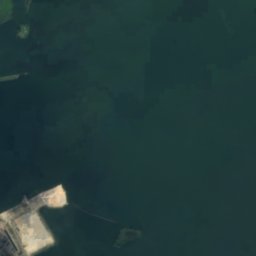
IJmeerLake3.3 kmNWIJmeer
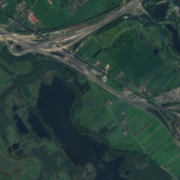
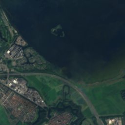
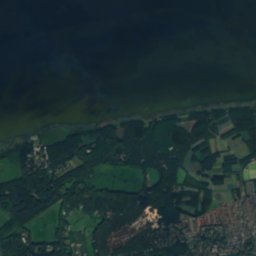
Satellite: Sentinel-2 cloudless 2016 by EOX IT Services GmbH · CC BY 4.0 · Contains modified Copernicus Sentinel data 2016
AlmeerderstrandBeach3.5 kmSEAlmeerderstrand
Photo: Romaine · CC0 · Wikimedia CommonsReport this photo · linked, not stored
Trapjesberg11 km SE23 mJuly 23°Trapjesberg
Stay nearby

Towns close by

Muiden
Photo: Jan Arkesteijn · Public domain · Wikimedia CommonsReport this photo · linked, not stored

Muiden

North Holland · 2.5 km SW
15°Oct high
14wet days
44score
Muiden
Muiderberg
Photo: Arch · Public domain · Wikimedia CommonsReport this photo · linked, not stored

Muiderberg

North Holland · 3.0 km SE
15°Oct high
14wet days
44score
Muiderberg
Almere Duin
Photo: Eva-Maria Kintzel · CC BY 3.0 · Wikimedia CommonsReport this photo · linked, not stored

Almere Duin

Flevoland · 3.3 km E
15°Oct high
14wet days
44score
Almere Duin
Weesp
Photo: Jan Arkesteijn · Public domain · Wikimedia CommonsReport this photo · linked, not stored

Weesp

North Holland · 5.7 km SW
15°Oct high
14wet days
44score
Weesp
Around here

Muiden and around

Muiden
Photo: Jan Arkesteijn · Public domain · Wikimedia CommonsReport this photo · linked, not stored

Muiden

North Holland · Netherlands
May–Jun · Sepbest months
23°July high
3 maltitude
Muiden

Nature

Gooimeer
Photo: GerardM · CC BY-SA 3.0 · Wikimedia CommonsReport this photo · linked, not stored
9.4 km E

Gooimeer

Lake · -4 m
Gooimeer
Vecht
Photo: F.Lang · CC BY-SA 3.0 · Wikimedia CommonsReport this photo · linked, not stored
0.8 km N

Vecht

River
Vecht
IJmeer
Photo: Localguidecontributions · CC BY-SA 4.0 · Wikimedia CommonsReport this photo · linked, not stored
3.8 km N

IJmeer

Lake · -4 m
IJmeer

Mountains

Trapjesberg
Photo: Romaine · CC0 · Wikimedia CommonsReport this photo · linked, not stored
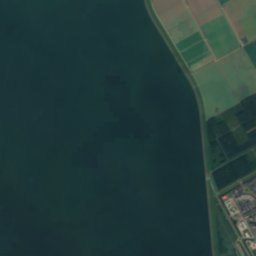
11 km SE

Trapjesberg

23 m
Trapjesberg

Heritage

Muiderslot
Photo: Agnes Monkelbaan · CC BY-SA 4.0 · Wikimedia CommonsReport this photo · linked, not stored
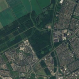
0.5 km N

Muiderslot

Rijksmonument · 1280
Muiderslot
Maria Sterre der Zee
Photo: Tulp8 · CC BY-SA 4.0 · Wikimedia CommonsReport this photo · linked, not stored
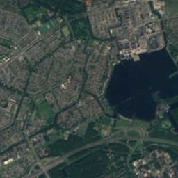
3.0 km E

Maria Sterre der Zee

municipal monument in the Netherlands · 1954
Maria Sterre der Zee
Sint-Laurentiuskerk, Weesp
Photo: Michiel1972 · CC BY-SA 3.0 · Wikimedia CommonsReport this photo · linked, not stored
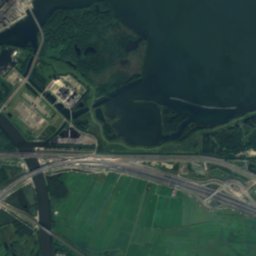
3.0 km SW

Sint-Laurentiuskerk, Weesp

municipal monument in the Netherlands · 1876
Sint-Laurentiuskerk, Weesp

Museums

Weesper Automaten Kabinet
Photo: User:Ymnes · CC0 · Wikimedia CommonsReport this photo · linked, not stored
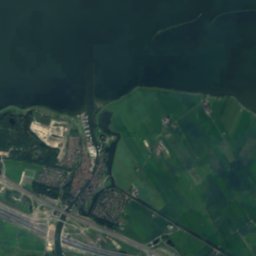
3.1 km SW

Weesper Automaten Kabinet

Weesper Automaten Kabinet
Museum Weesp
Photo: Rijksdienst voor het Cultureel Erfgoed · CC BY-SA 4.0 · Wikimedia CommonsReport this photo · linked, not stored
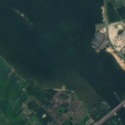
3.2 km SW

Museum Weesp

1974
Museum Weesp
Satellite: Sentinel-2 cloudless 2016 by EOX IT Services GmbH · CC BY 4.0 · Contains modified Copernicus Sentinel data 2016
0.5 km N

Rijksmuseum Muiderslot

1878
Rijksmuseum Muiderslot