Mountains
Mountains of the Netherlands
55 summits ranked by height, each with its own summit climate and a forecast at three heights.
Highest870 mMount Scenery
Summits55with a page
Ranges2named ranges
Above 3,000 m0on this page

| # | Mountain | Range | Region | Elevation | Prominence | Summit high, July | Summit low, January |
|---|---|---|---|---|---|---|---|
| 1 | Mount Scenery | – | – | 870 m | 870 m | 25° | 21° |
| 2 | The Quill | Sint Eustatius | – | 601 m | 601 m | 26° | 22° |
| 3 | Pirate Cliff | – | – | 558 m | – | 26° | 23° |
| 4 | Boven | – | – | 296 m | 230 m | 28° | 24° |
| 5 | Brandaris | Bonaire | – | 241 m | 241 m | 27° | 25° |
| 6 | Old Booby Hill | – | – | 138 m | – | 28° | 24° |
| 7 | Cauberg | – | Limburg | 137 m | – | 24° | 1° |
| 8 | Wanico | – | – | 132 m | – | 27° | 25° |
| 9 | Signaal Imbosch | – | Gelderland | 110 m | – | 23° | 0° |
| 10 | Torenberg | – | Gelderland | 107 m | – | 23° | 0° |
| 11 | Ceru Dos Pos | – | – | 107 m | – | 27° | 25° |
| 12 | Posbank | – | Gelderland | 90 m | – | 23° | 0° |
| 13 | Macutucao | – | – | 84 m | – | 27° | 25° |
| 14 | Seru Grita Kabai | – | – | 82 m | – | 27° | 25° |
| 15 | Paasberg | – | Overijssel | 80 m | – | 24° | 0° |
| 16 | Braamberg | – | Overijssel | 76 m | – | 23° | 0° |
| 17 | Duivelsberg | – | Gelderland | 76 m | – | 24° | 1° |
| 18 | Game Bow | – | – | 73 m | – | 28° | 24° |
| 19 | Bergje | – | – | 73 m | – | 28° | 24° |
| 20 | Holterberg | – | Overijssel | 60 m | – | 23° | 0° |
| 21 | Moreke | – | – | 58 m | – | 27° | 25° |
| 22 | Catrijper Nok | – | North Holland | 55 m | – | 21° | 2° |
| 23 | Lochemse Berg | – | Gelderland | 49 m | – | 24° | 0° |
| 24 | Kale Berg | – | Gelderland | 47 m | – | 24° | 0° |
| 25 | Seru Kima | – | – | 44 m | – | 27° | 25° |
| 26 | Hobao | – | – | 43 m | – | 27° | 25° |
| 27 | Ceru Mangel | – | – | 43 m | – | 27° | 25° |
| 28 | Ceru Camina | – | – | 43 m | – | 27° | 25° |
| 29 | Dochila | – | – | 39 m | – | 27° | 25° |
| 30 | Ceru Oom Wie | – | – | 38 m | – | 27° | 25° |
| 31 | La Sana | – | – | 36 m | – | 27° | 25° |
| 32 | Jarabi Mangel | – | – | 34 m | – | 27° | 25° |
| 33 | Ceru Sumpina | – | – | 34 m | – | 27° | 25° |
| 34 | Kimeterio | – | – | 33 m | – | 27° | 25° |
| 35 | Ceru Largu | – | – | 33 m | – | 27° | 25° |
| 36 | Maskehorne Hill | – | – | 32 m | – | 28° | 24° |
| 37 | Thais Hill | – | – | 32 m | – | 27° | 23° |
| 38 | Bara i Carta | – | – | 32 m | – | 27° | 25° |
| 39 | Wasao | – | – | 29 m | – | 27° | 25° |
| 40 | Woldberg | – | Overijssel | 26 m | – | 23° | 0° |
| 41 | Pichi Lang | – | – | 26 m | – | 27° | 25° |
| 42 | Shishiribana | – | – | 26 m | – | 27° | 25° |
| 43 | Paaschberg (Gelderland) | – | Gelderland | 25 m | – | 24° | 0° |
| 44 | Trapjesberg | – | North Holland | 23 m | – | 23° | 1° |
| 45 | Kibra Guarati | – | – | 19 m | – | 27° | 25° |
| 46 | Seru Plat | – | – | 19 m | – | 27° | 25° |
| 47 | Hasseberg | – | Groningen | 14 m | – | 23° | 0° |
| 48 | Caracao | – | – | 13 m | – | 27° | 25° |
| 49 | Wamari | – | – | 9 m | – | 27° | 25° |
| 50 | Ceru Chubatu | – | – | 6 m | – | 27° | 25° |
| 51 | Kaomati | – | – | 4 m | – | 27° | 25° |
| 52 | Casicunda | – | – | 4 m | – | 27° | 25° |
| 53 | Palu Lechi | – | – | 1 m | – | 27° | 25° |
| 54 | Pilot Rots | – | – | 1 m | – | 28° | 24° |
| 55 | White Wall | – | – | 1 m | – | 28° | 24° |
iPhotographed summits
The peaks in pictures


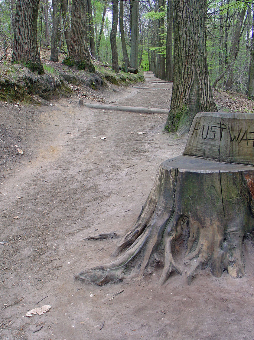
Photo: Walter Hellebrand at nl.wikipedia · CC BY-SA 3.0 · Wikimedia CommonsReport this photo · linked, not stored
The Quill
Sint Eustatius
601 melevation
601 mprominence
26°July high


Photo: Paul Asman and Jill Lenoble · CC BY 2.0 · Wikimedia CommonsReport this photo · linked, not stored
Brandaris
Bonaire
241 melevation
241 mprominence
27°July high




iiRanges
Mountain ranges
- Sint Eustatius 1 summits · top 601 m
- Bonaire 1 summits · top 241 m