



Skip to content
Destinations
Weather & climate
Nature
Outdoors
Culture
Events
Sky & live
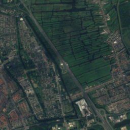
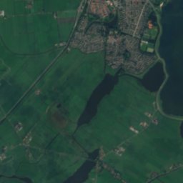
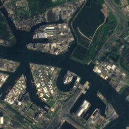
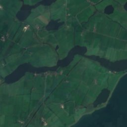
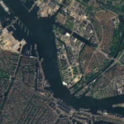
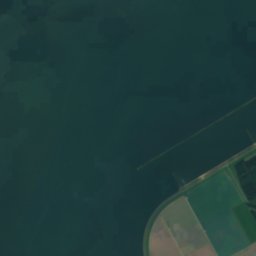
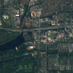
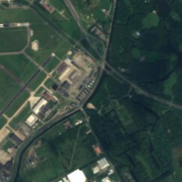
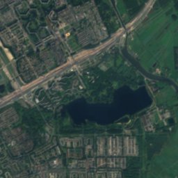
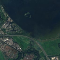
Satellite: Sentinel-2 cloudless 2016 by EOX IT Services GmbH · CC BY 4.0 · Contains modified Copernicus Sentinel data 2016
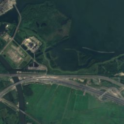
Centrumeiland
Photo: Milliped · CC BY-SA 4.0 · Wikimedia Commons
CentrumeilandReport this photo · linked, not stored
Centrumeiland
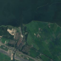
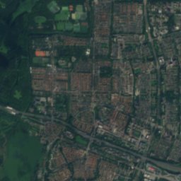
Haveneiland
Photo: Debot · CC BY-SA 3.0 · Wikimedia Commons
HaveneilandReport this photo · linked, not stored
Haveneiland
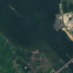
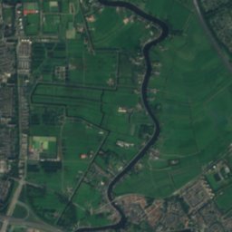
IJmeer
Photo: Localguidecontributions · CC BY-SA 4.0 · Wikimedia Commons
IJmeerReport this photo · linked, not stored
IJmeer
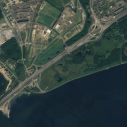
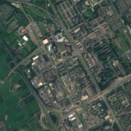
Rieteiland-Oost
Photo: Remi Mathis · CC BY-SA 3.0 · Wikimedia Commons
Rieteiland-OostReport this photo · linked, not stored
Rieteiland-Oost
IslandDurgerdam, North Holland

Strandeiland

IslandBest May–Jul
Elevation–above sea level
Area1.8 km²surface
Nearest townDurgerdam3.7 km
52.35° N, 5.03° EUTC+2 · Central European Summer Time
When to goDurgerdam · weather score
JanFebMarAprMayJunJulAugSepOctNovDec43October
Best timeMay–Jul
October: high / low15° / 7°
Island

Strandeiland in brief

Strandeiland is an island in Durgerdam, North Holland, Netherlands.

It covers about 1.8 km².

The nearest town in the atlas is Durgerdam, 3.7 km to the NW, where the weather is best in May, June and July.

Durgerdam: weather and travel guide

Weather nearby now

Forecast for Durgerdam
11°
Rain now
Wind16 km/h
Humidity88%
Cloud cover81%
Today
22 Oct
12°
5°
11 mm
Fri
23 Oct
15°
7°
18 mm
Sat
24 Oct
13°
8°
20 mm
Sun
25 Oct
13°
8°
14 mm
Mon
26 Oct
15°
8°
2 mm

Model run 00:00 UTCRefreshed several times a day

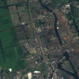
The island from above

1.8 km² · coastline as mapped in OpenStreetMap
500 m
When to go

The best months around Strandeiland

Climate of Durgerdam

Month score in Durgerdam

Comfort, dry days and sunshine · out of 100
16
Jan
22
Feb
26
Mar
57
Apr
69
May
68
Jun
65
Jul
65
Aug
65
Sep
43
Oct
17
Nov
15
Dec
Map

Strandeiland from above

Photo: Milliped · CC BY-SA 4.0 · Wikimedia CommonsReport this photo · linked, not stored
CentrumeilandIsland0.9 kmWCentrumeiland
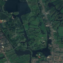
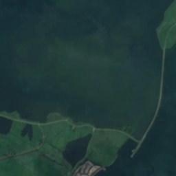
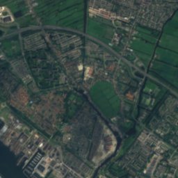
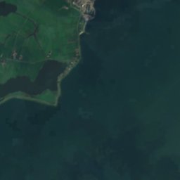
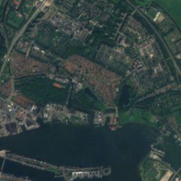
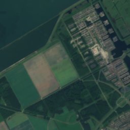
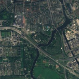
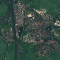
Satellite: Sentinel-2 cloudless 2016 by EOX IT Services GmbH · CC BY 4.0 · Contains modified Copernicus Sentinel data 2016
BuiteneilandIsland1.3 kmNWBuiteneiland
Photo: Debot · CC BY-SA 3.0 · Wikimedia CommonsReport this photo · linked, not stored
HaveneilandIsland1.8 kmWHaveneiland
Photo: Localguidecontributions · CC BY-SA 4.0 · Wikimedia CommonsReport this photo · linked, not stored
IJmeerLake1.9 kmNEIJmeer
Photo: Remi Mathis · CC BY-SA 3.0 · Wikimedia CommonsReport this photo · linked, not stored
Rieteiland-OostIsland1.9 kmSWRieteiland-Oost
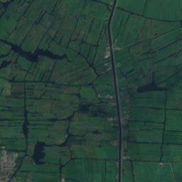
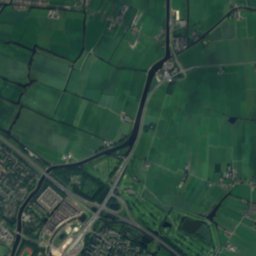
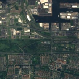
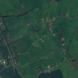
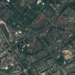
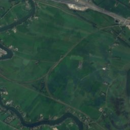
Satellite: Sentinel-2 cloudless 2016 by EOX IT Services GmbH · CC BY 4.0 · Contains modified Copernicus Sentinel data 2016
Vogeleiland, North HollandIsland2.0 kmNWVogeleiland, North Holland
Photo: Romaine · CC0 · Wikimedia CommonsReport this photo · linked, not stored
Trapjesberg15 km SE23 mJuly 23°Trapjesberg
Stay nearby

Towns close by

Durgerdam
Photo: Jvhertum · Public domain · Wikimedia CommonsReport this photo · linked, not stored

Durgerdam

North Holland · 3.7 km NW
15°Oct high
15wet days
43score
Durgerdam
Muiden
Photo: Jan Arkesteijn · Public domain · Wikimedia CommonsReport this photo · linked, not stored

Muiden

North Holland · 3.9 km SE
15°Oct high
14wet days
44score
Muiden
Diemen
Photo: Tinelot Wittermans · CC BY-SA 3.0 · Wikimedia CommonsReport this photo · linked, not stored

Diemen

North Holland · 4.7 km W
15°Oct high
15wet days
43score
Diemen
Ransdorp
Photo: Jvhertum · Public domain · Wikimedia CommonsReport this photo · linked, not stored

Ransdorp

North Holland · 4.9 km NW
15°Oct high
15wet days
43score
Ransdorp
Around here

Durgerdam and around

Durgerdam
Photo: Jvhertum · Public domain · Wikimedia CommonsReport this photo · linked, not stored

Durgerdam

North Holland · Netherlands
May–Julbest months
23°July high
1 maltitude
Durgerdam

Nature

IJmeer
Photo: Localguidecontributions · CC BY-SA 4.0 · Wikimedia CommonsReport this photo · linked, not stored
4.6 km E

IJmeer

Lake · -4 m
IJmeer
Vecht
Photo: F.Lang · CC BY-SA 3.0 · Wikimedia CommonsReport this photo · linked, not stored
7.1 km SE

Vecht

River
Vecht
Holendrecht
Photo: Kantletters · CC BY-SA 3.0 · Wikimedia CommonsReport this photo · linked, not stored
11 km S

Holendrecht

River
Holendrecht

Mountains

Trapjesberg
Photo: Romaine · CC0 · Wikimedia CommonsReport this photo · linked, not stored
18 km SE

Trapjesberg

23 m
Trapjesberg

Heritage

Lighthouse Hoek van 't IJ
Photo: Marion Golsteijn · CC BY-SA 3.0 · Wikimedia CommonsReport this photo · linked, not stored
1.8 km E

Lighthouse Hoek van 't IJ

World Heritage Site · 1893
Lighthouse Hoek van 't IJ
Raadhuis, Ransdorp
Photo: Marcel mulder · CC BY-SA 3.0 nl · Wikimedia CommonsReport this photo · linked, not stored
1.7 km N

Raadhuis, Ransdorp

Rijksmonument · 1652
Raadhuis, Ransdorp
Gemaal Zeeburg
Photo: Joop van Bilsen for Anefo · CC0 · Wikimedia CommonsReport this photo · linked, not stored
2.7 km SW

Gemaal Zeeburg

municipal monument in the Netherlands · 1943
Gemaal Zeeburg

Museums

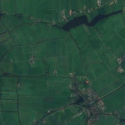
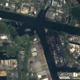
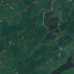
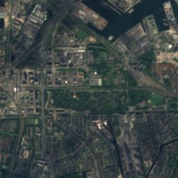
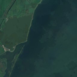
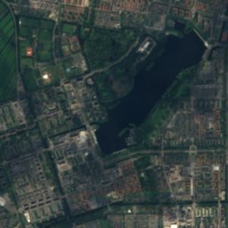
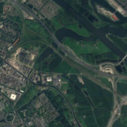
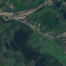
Satellite: Sentinel-2 cloudless 2016 by EOX IT Services GmbH · CC BY 4.0 · Contains modified Copernicus Sentinel data 2016
3.7 km W

Beeldenbos Noord

Sculpture garden
Beeldenbos Noord
Rijksmuseum
Photo: Marco Almbauer · CC BY-SA 3.0 · Wikimedia CommonsReport this photo · linked, not stored
7.3 km W

Rijksmuseum

Art museum · 1800
Rijksmuseum
Van Gogh Museum
Photo: Warrox · CC BY 2.5 · Wikimedia CommonsReport this photo · linked, not stored
7.6 km W

Van Gogh Museum

Art museum · 1973
Van Gogh Museum