
Photo: Suman greenheart · CC BY-SA 4.0 · Wikimedia Commons
Dhumba lakeReport this photo · linked, not stored
Dhumba lakeReport this photo · linked, not stored

Photo: Solundir · CC BY-SA 4.0 · Wikimedia Commons
Tilicho LakeReport this photo · linked, not stored
Tilicho LakeTilicho LakeReport this photo · linked, not stored

Photo: Ganesh Paudel at ne.wikipedia · CC BY-SA 3.0 · Wikimedia Commons
Rupse FallsReport this photo · linked, not stored
Rupse FallsRupse FallsReport this photo · linked, not stored

Photo: © Vyacheslav Argenberg · CC BY 4.0 · Wikimedia Commons
DhaulagiriReport this photo · linked, not stored
DhaulagiriDhaulagiriReport this photo · linked, not stored

Photo: Wolfgangbeyer · CC BY-SA 3.0 · Wikimedia Commons
Annapurna IReport this photo · linked, not stored
Annapurna IAnnapurna IReport this photo · linked, not stored
LakeJomsom, Gandaki Pradesh
Dhumba lake
LakeBest Oct–Dec
Elevation–above sea level
Area–surface
Nearest townJomsom3.0 km
28.76° N, 83.72° EUTC+5:45 · Nepal Time
When to goJomsom · weather score
Best timeOct–Dec
October: high / low13° / 3°
Lake
Dhumba lake in brief
Dhumba lake is a lake in Jomsom, Gandaki Pradesh, Nepal.
The nearest town in the atlas is Jomsom, 3.0 km to the NE, where the weather is best in October, November and December.
Weather nearby now
Forecast for Jomsom7°
Clear now
Today
22 Oct
17°
4°
Fri
23 Oct
16°
4°
Sat
24 Oct
15°
3°
Sun
25 Oct
16°
2°
Mon
26 Oct
17°
4°
Model run 00:00 UTCRefreshed several times a day
When to go
Climate of JomsomThe best months around Dhumba lake
Month score in Jomsom
Comfort, dry days and sunshine · out of 10051
Jan
50
Feb
46
Mar
47
Apr
45
May
52
Jun
48
Jul
46
Aug
46
Sep
60
Oct
59
Nov
56
Dec
Map
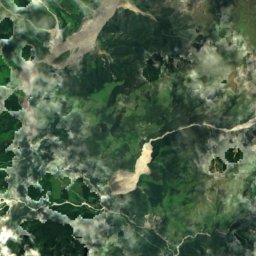
Dhumba lake from above
Nature nearbyAll of Nepal

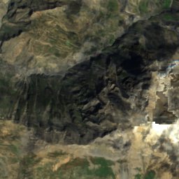
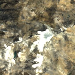
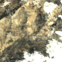
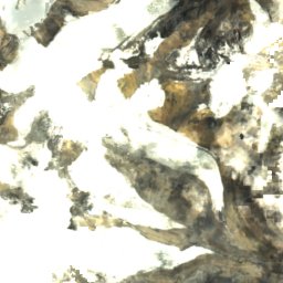
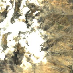
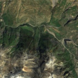
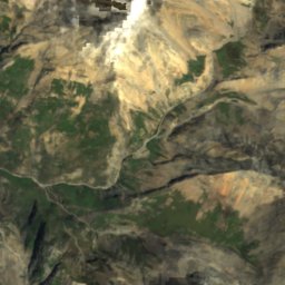
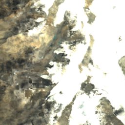
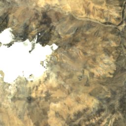
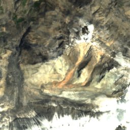
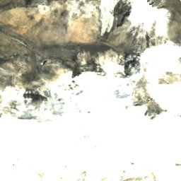
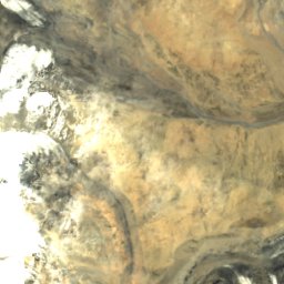
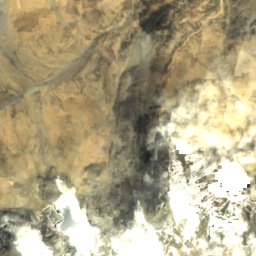
Satellite: Sentinel-2 cloudless 2016 by EOX IT Services GmbH · CC BY 4.0 · Contains modified Copernicus Sentinel data 2016

Photo: Ganesh Paudel at ne.wikipedia · CC BY-SA 3.0 · Wikimedia CommonsReport this photo · linked, not stored
Summits nearbyMountains of Nepal


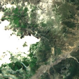
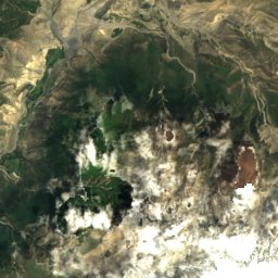
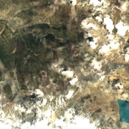
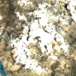
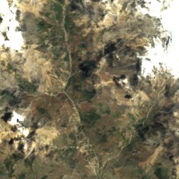
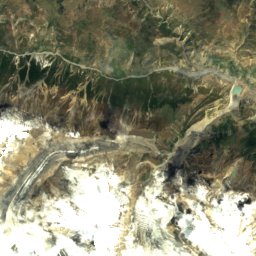
Satellite: Sentinel-2 cloudless 2016 by EOX IT Services GmbH · CC BY 4.0 · Contains modified Copernicus Sentinel data 2016
Stay nearby
Towns close by


Photo: Greg Willis from Denver, CO, usa · CC BY-SA 2.0 · Wikimedia CommonsReport this photo · linked, not stored
Tatopani
Gandaki Pradesh · 30 km S
21°Oct high
7wet days
83score

Photo: Greg Willis from Denver, CO, usa · CC BY-SA 2.0 · Wikimedia CommonsReport this photo · linked, not stored
Tanki
Gandaki Pradesh · 31 km E
7°Oct high
7wet days
43score
Around here
Jomsom and around
Nature

Satellite: Sentinel-2 cloudless 2016 by EOX IT Services GmbH · CC BY 4.0 · Contains modified Copernicus Sentinel data 2016
Rikha Samba Glacier
Glacier


