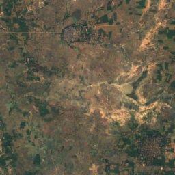
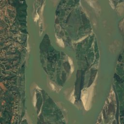
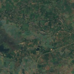
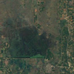
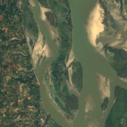
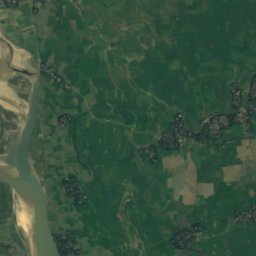
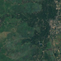
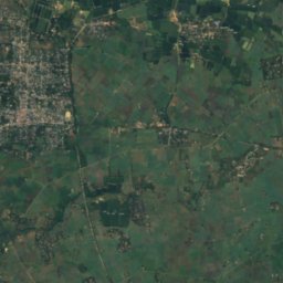
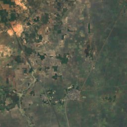
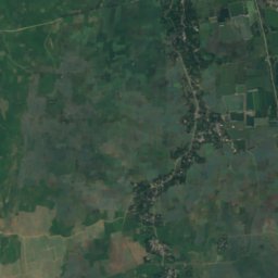
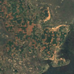
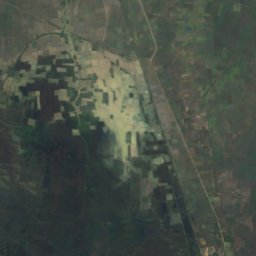
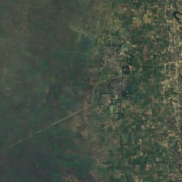
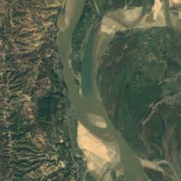
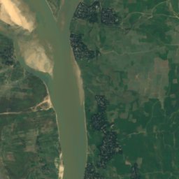
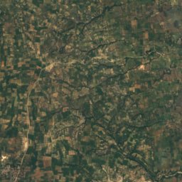
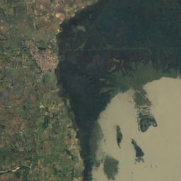
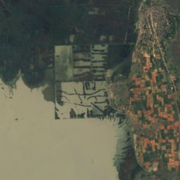
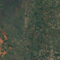
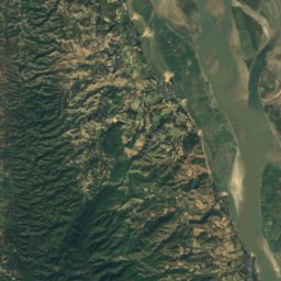
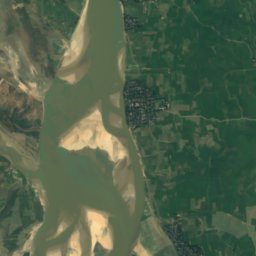
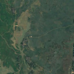
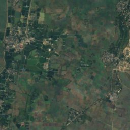
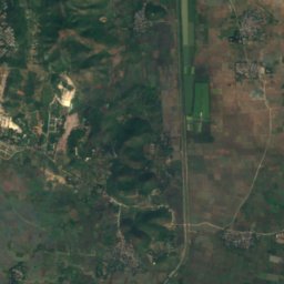
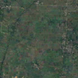
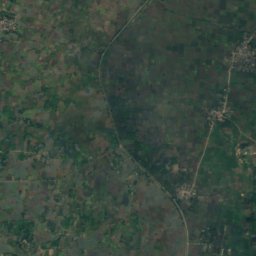
Satellite: Sentinel-2 cloudless 2016 by EOX IT Services GmbH · CC BY 4.0 · Contains modified Copernicus Sentinel data 2016
IslandMingun, Sagaing Region
Aingdaing
IslandBest Jan · Nov–Dec
Elevation–above sea level
Area–surface
Nearest townMingun10 km
22.13° N, 96.02° EUTC+6:30 · Myanmar Time
When to goMingun · weather score
Best timeJan · Nov–Dec
October: high / low30° / 24°
Island
Aingdaing in brief
Aingdaing is an island in Mingun, Sagaing Region, Myanmar — village and island in Mandalay Region, Burma.
The nearest town in the atlas is Mingun, 10 km to the S, where the weather is best in January, November and December.
Weather nearby now
Forecast for Mingun28°
Clear now
Today
22 Oct
32°
27°
Fri
23 Oct
32°
27°
Sat
24 Oct
32°
27°
Sun
25 Oct
33°
27°
Mon
26 Oct
33°
26°
Model run 00:00 UTCRefreshed several times a day
When to go
Climate of MingunThe best months around Aingdaing
Month score in Mingun
Comfort, dry days and sunshine · out of 10086
Jan
74
Feb
53
Mar
49
Apr
37
May
23
Jun
25
Jul
30
Aug
41
Sep
57
Oct
81
Nov
89
Dec
Map
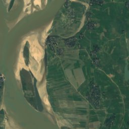
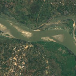
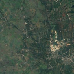
Aingdaing from above
Nature nearbyAll of Myanmar
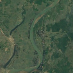
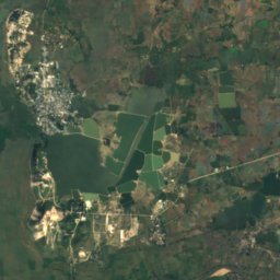
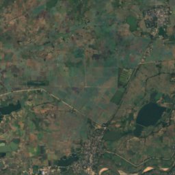
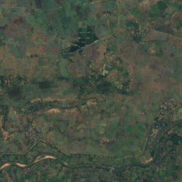
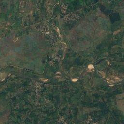
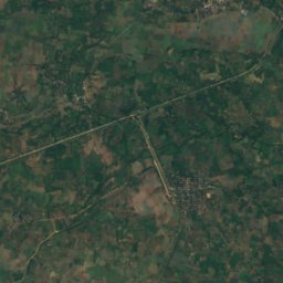
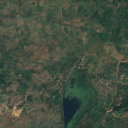
Satellite: Sentinel-2 cloudless 2016 by EOX IT Services GmbH · CC BY 4.0 · Contains modified Copernicus Sentinel data 2016
Summits nearbyMountains of Myanmar
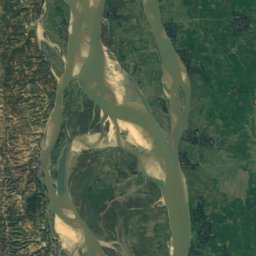
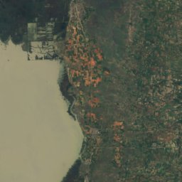
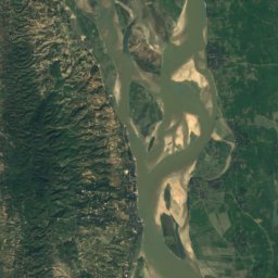
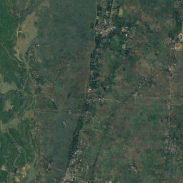
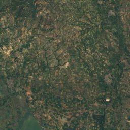
Satellite: Sentinel-2 cloudless 2016 by EOX IT Services GmbH · CC BY 4.0 · Contains modified Copernicus Sentinel data 2016
Satellite: Sentinel-2 cloudless 2016 by EOX IT Services GmbH · CC BY 4.0 · Contains modified Copernicus Sentinel data 2016
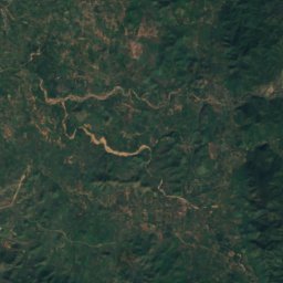
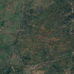
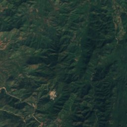
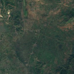
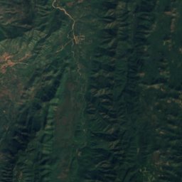
Satellite: Sentinel-2 cloudless 2016 by EOX IT Services GmbH · CC BY 4.0 · Contains modified Copernicus Sentinel data 2016
Stay nearby
Towns close by

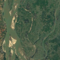
Satellite: Sentinel-2 cloudless 2016 by EOX IT Services GmbH · CC BY 4.0 · Contains modified Copernicus Sentinel data 2016
Madaya
Mandalay Region · 12 km NE
30°Oct high
8wet days
58score

Around here
Mingun and around
Nature


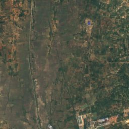
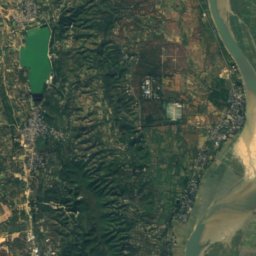
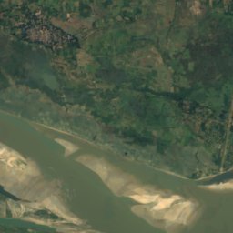
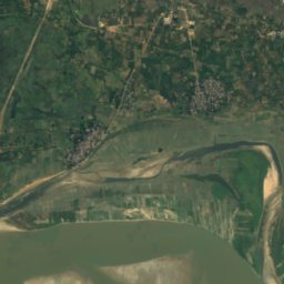
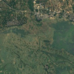
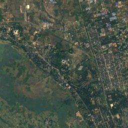
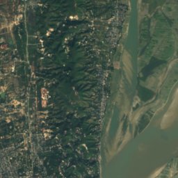
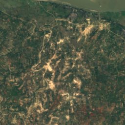
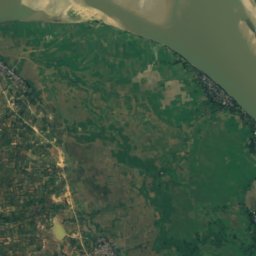
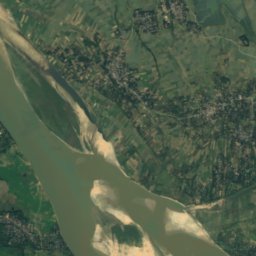
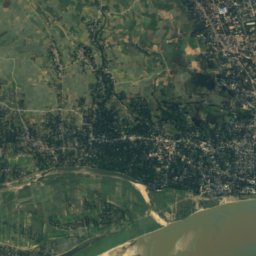
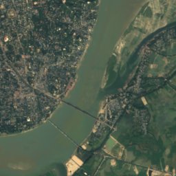
Satellite: Sentinel-2 cloudless 2016 by EOX IT Services GmbH · CC BY 4.0 · Contains modified Copernicus Sentinel data 2016
Kaunghmudaw In
Lake
Mountains
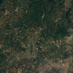
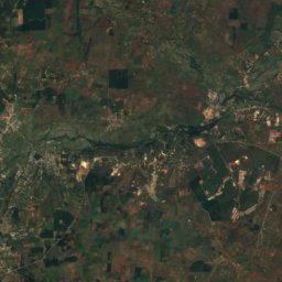
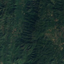
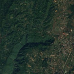
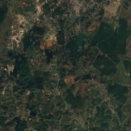
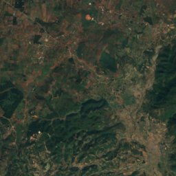
Satellite: Sentinel-2 cloudless 2016 by EOX IT Services GmbH · CC BY 4.0 · Contains modified Copernicus Sentinel data 2016
Okhpo Taung
1,223 m
Satellite: Sentinel-2 cloudless 2016 by EOX IT Services GmbH · CC BY 4.0 · Contains modified Copernicus Sentinel data 2016
Tabwe Taung
1,084 m
Satellite: Sentinel-2 cloudless 2016 by EOX IT Services GmbH · CC BY 4.0 · Contains modified Copernicus Sentinel data 2016
Nattaga Taung
1,058 m
Heritage

Maha Lawkamarazein or Kuthodaw Inscription Shrines
Memory of the World International Register · 1868


