Nature
Waters, ice and wild places of Myanmar
Lakes, waterfalls, glaciers, national parks and mountain huts, each with its location, its size and the weather of the towns around it.
Lakes27with a page
Waterfalls2with a page
National parks2with a page
Beaches2with a page

Lakes
Lakes of Myanmar


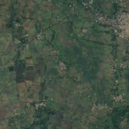
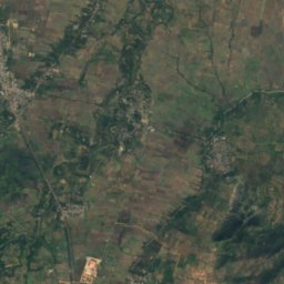
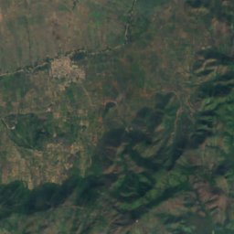
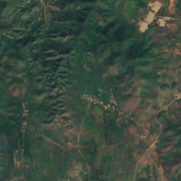
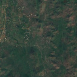
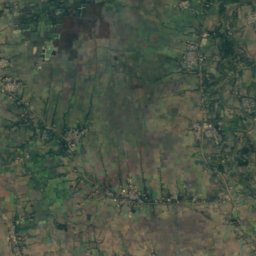
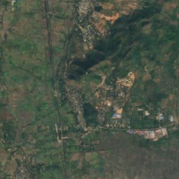
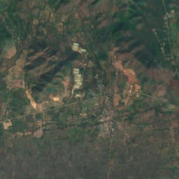
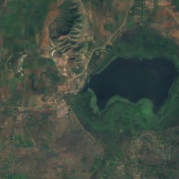
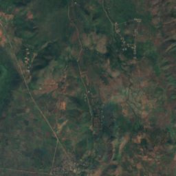
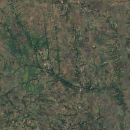
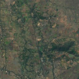
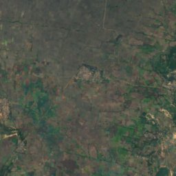
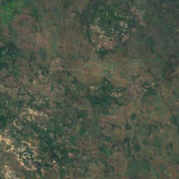
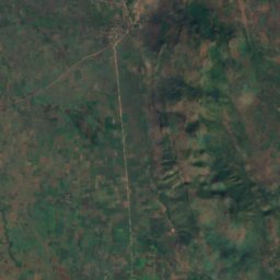
Satellite: Sentinel-2 cloudless 2016 by EOX IT Services GmbH · CC BY 4.0 · Contains modified Copernicus Sentinel data 2016
Sunye Lake
Kyaukse, Mandalay Region
All 27 lakes
Waterfalls
Waterfalls of Myanmar
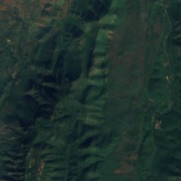
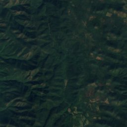
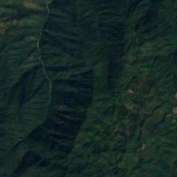
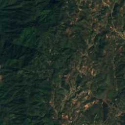
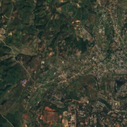
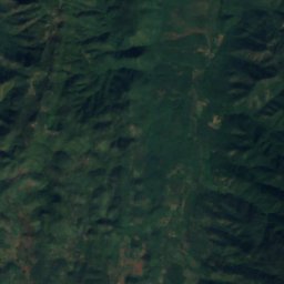
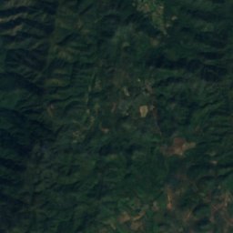
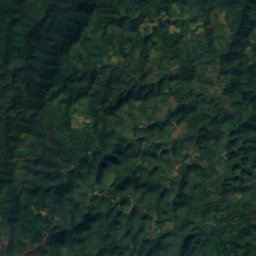
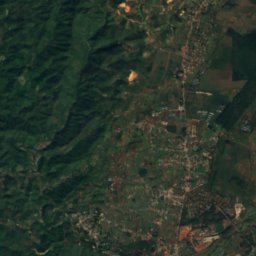
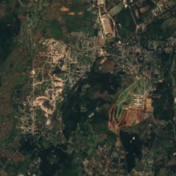
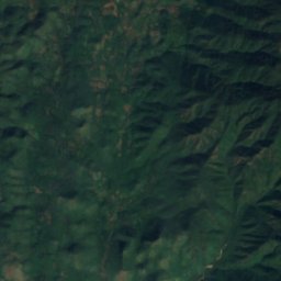
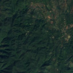
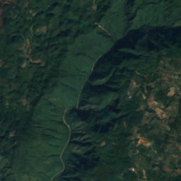
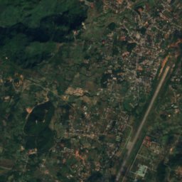
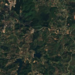
Satellite: Sentinel-2 cloudless 2016 by EOX IT Services GmbH · CC BY 4.0 · Contains modified Copernicus Sentinel data 2016
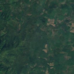
Dat Taw Gyaint Waterfall
Pyin Oo Lwin, Mandalay Region
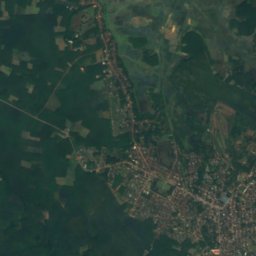
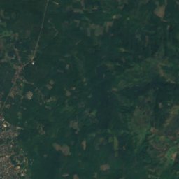
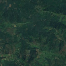
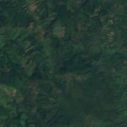
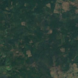
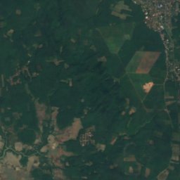
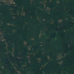
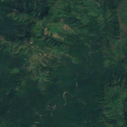
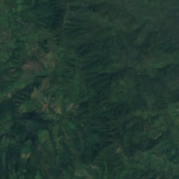
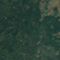
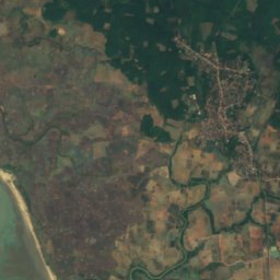
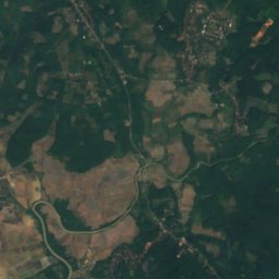
Satellite: Sentinel-2 cloudless 2016 by EOX IT Services GmbH · CC BY 4.0 · Contains modified Copernicus Sentinel data 2016
Lai Tok Phararmeit Waterfall
Taungdi, Kayin State
National parks
National parks of Myanmar

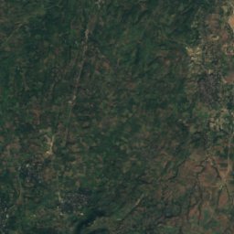
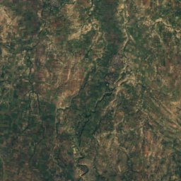
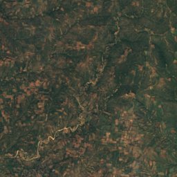
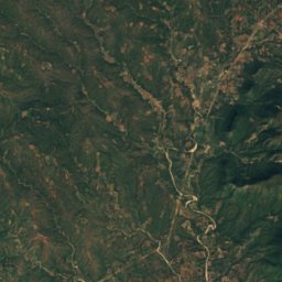
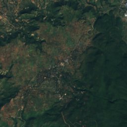
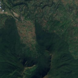
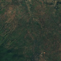
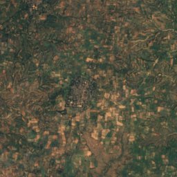
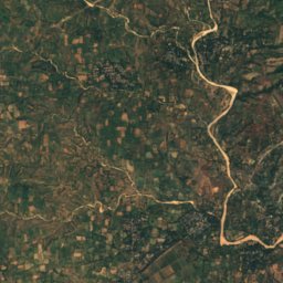
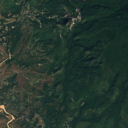
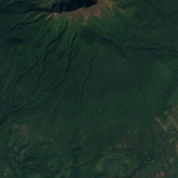
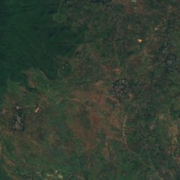
Satellite: Sentinel-2 cloudless 2016 by EOX IT Services GmbH · CC BY 4.0 · Contains modified Copernicus Sentinel data 2016
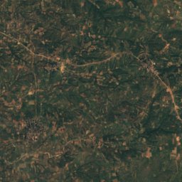
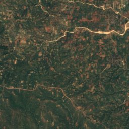
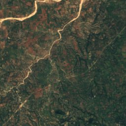
Popa Mountain National Park
Kyaukpadaung, Mandalay Region
Beaches
Beaches of Myanmar

Photo: ReflectedSerendipity from United Kingdom · CC BY-SA 2.0 · Wikimedia CommonsReport this photo · linked, not stored
Ngapali Beach
Ngapali, Rakhine
11 m



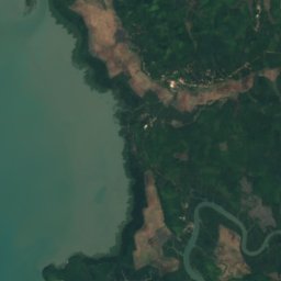
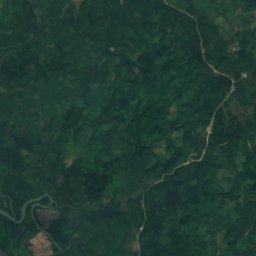
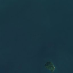


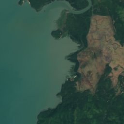
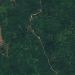



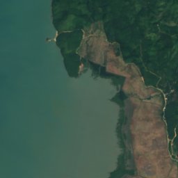
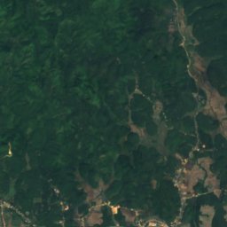
Satellite: Sentinel-2 cloudless 2016 by EOX IT Services GmbH · CC BY 4.0 · Contains modified Copernicus Sentinel data 2016
Pho Shan Beach
Pu Law Kone, Tanintharyi Region
Islands
Islands of Myanmar

Photo: Ekyaw at English Wikipedia · CC BY 3.0 · Wikimedia CommonsReport this photo · linked, not stored
Manaung Island
Manaung, Rakhine
205 m

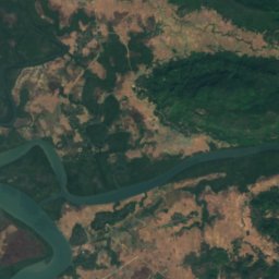
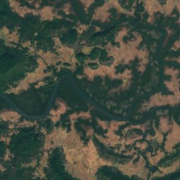
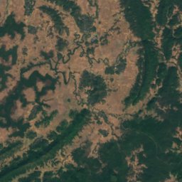
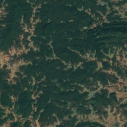
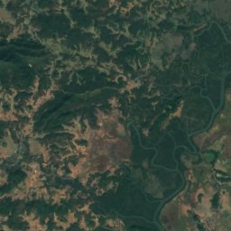
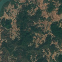
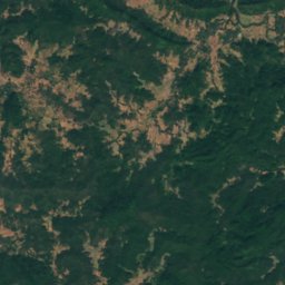
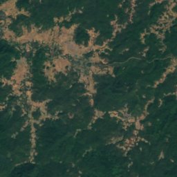
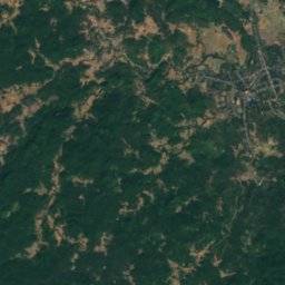
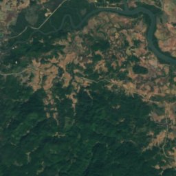
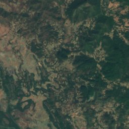
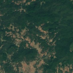
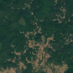
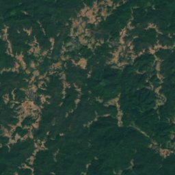
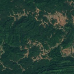
Satellite: Sentinel-2 cloudless 2016 by EOX IT Services GmbH · CC BY 4.0 · Contains modified Copernicus Sentinel data 2016
Ramree Island
Ramree, Rakhine
275 m
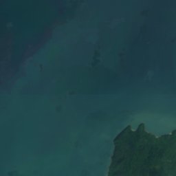
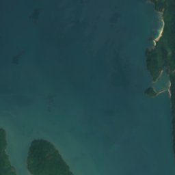
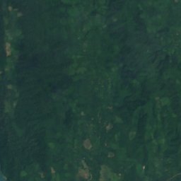
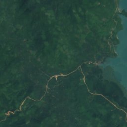
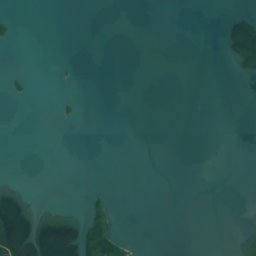
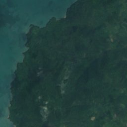
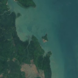
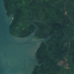
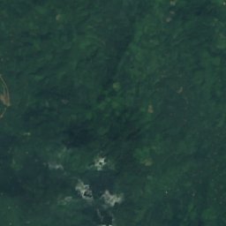
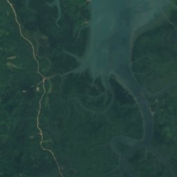
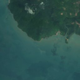
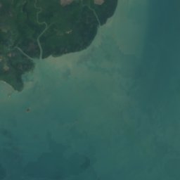
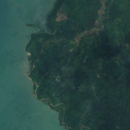
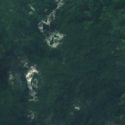
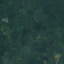
Satellite: Sentinel-2 cloudless 2016 by EOX IT Services GmbH · CC BY 4.0 · Contains modified Copernicus Sentinel data 2016
King Island
Myeik, Tanintharyi Region
181 m

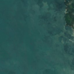
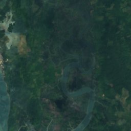
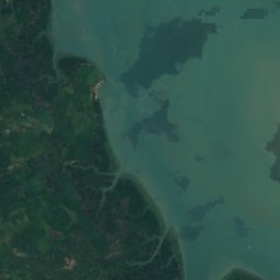
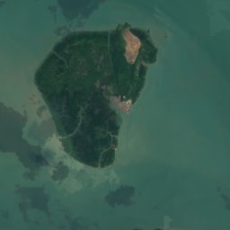

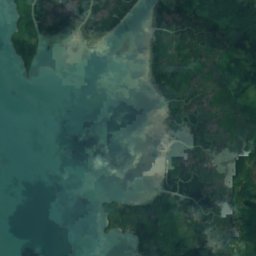
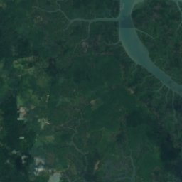
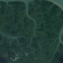


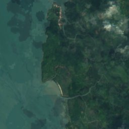
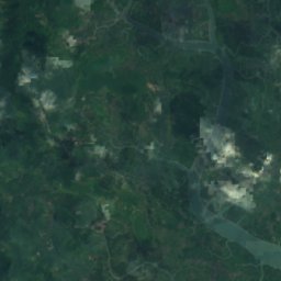
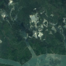
Satellite: Sentinel-2 cloudless 2016 by EOX IT Services GmbH · CC BY 4.0 · Contains modified Copernicus Sentinel data 2016
Saganthit Kyun
Me Taw, Tanintharyi Region
182 m
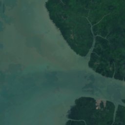
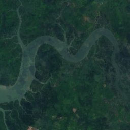
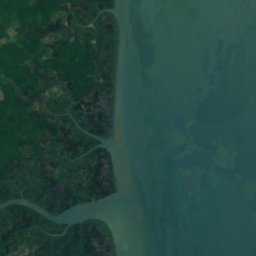
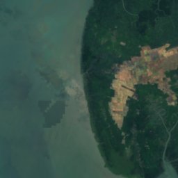
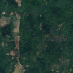
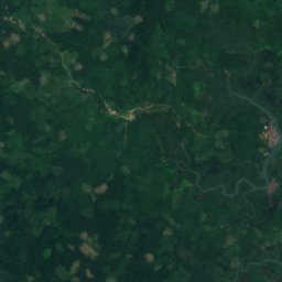
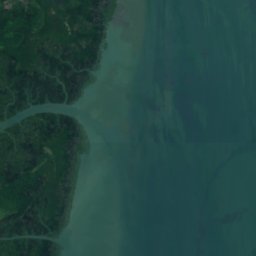
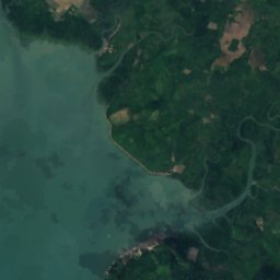
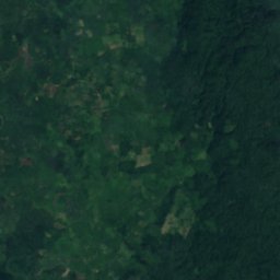
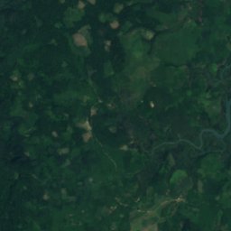
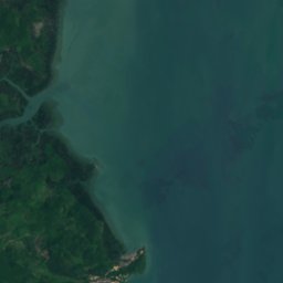
Satellite: Sentinel-2 cloudless 2016 by EOX IT Services GmbH · CC BY 4.0 · Contains modified Copernicus Sentinel data 2016
Kisseraing Island
Me Taw, Tanintharyi Region
56 m

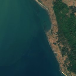
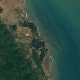
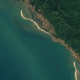
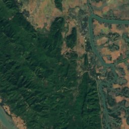

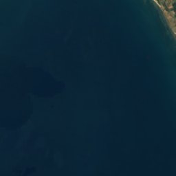
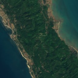
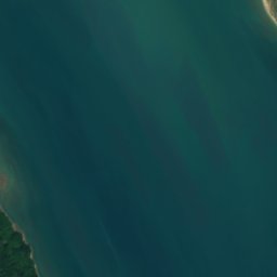
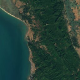


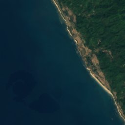
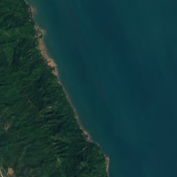
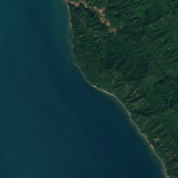
Satellite: Sentinel-2 cloudless 2016 by EOX IT Services GmbH · CC BY 4.0 · Contains modified Copernicus Sentinel data 2016
Myingun Island
Sittwe, Rakhine
306 m




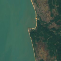




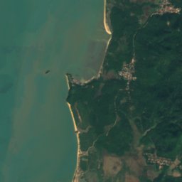




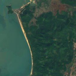
Satellite: Sentinel-2 cloudless 2016 by EOX IT Services GmbH · CC BY 4.0 · Contains modified Copernicus Sentinel data 2016
Kyungyi
Ye, Mon
163 m


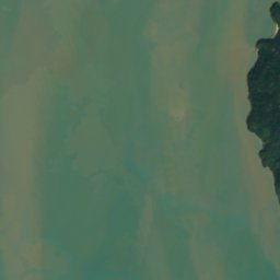
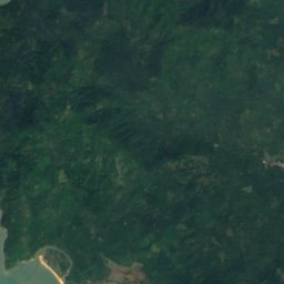
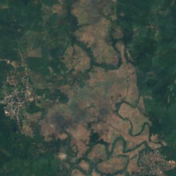


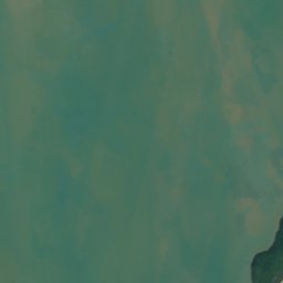
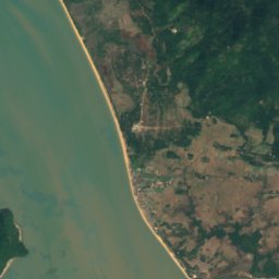
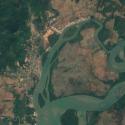


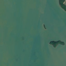
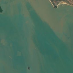
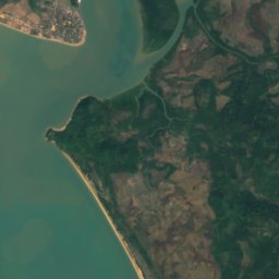
Satellite: Sentinel-2 cloudless 2016 by EOX IT Services GmbH · CC BY 4.0 · Contains modified Copernicus Sentinel data 2016
Wa Kyun, Mon
Ye, Mon
135 m
All 242 islands
- Ahnyinzôn Island
- Aingdaing
- Ale Kyun
- Ale-man Kyun
- Alebauk Island
- Anyinma
- Anyinpo
- Apaw-ye Kyun
- Asingyi Kyun
- Balu Island
- Barwell Island
- Baung Kyun
- Be-in Kyun
- Biludaung
- Bilugyun Island
- Bilugyun Sands
- Block Island
- Boronga Islands
- Bowers Island, Tanintharyi Region
- Browning Island
- Button Island, Mon
- Button Island, Rakhine
- Byangyi Kyun
- Canister Bank
- Carnac Island
- Chawgyungyi
- Da-that Island
- Dawe Kyun
- Dicey Shoal
- Dorcas Island
- Double Island, Mon
- Dragon Shoal
- Flat Reef
- Ganga Kyun
- Gaungze Kyun
- Giles Bank
- Gladys Island
- Green Island
- Griffiths Island
- Hastings Sand
- Himbok Kyun
- Hintha Kyun
- Hmau-bhi Ghun Island
- Hngetpyaw Kyun
- Htwon-phan Island
- Jenkins Island
- John Island
- Julian Island
- Kala Kyun, Mon
- Kala Kyun, Tanintharyi Region
- Kala Kyungyi
- Kalama Kyun
- Kan Kyun
- Kanan Kyun
- Kanyon Kyun
- Kataungbyo
- Kathit Island
- Kathit Kyun, Rakhine
- Kathit Kyun, Rakhine
- Kawmè Kyun
- Kawmoora
- Kawpulu Kyun
- Kayo Island
- Kennedy Island
- Khogyun
- King Island
- Kisseraing Island
- Ko Chang
- Ko Fai Mai
- Ko Lao
- Ko Sai Dam
- Ko Sin Hai
- Ko Ta Khrut
- Kokunye Kyun
- Kolan Island
- Konwe Island
- Ku Kyun
- Kuntaung Kyun
- Kwe Kyun
- Kyaukkayan Islands
- Kyaukme Island
- Kyauknakaungdaung
- Kyauksarit Kyun
- Kyettaik Kyun
- Kyi-it Island
- Kyônkan Apinthaung
- Kyu Kyun
- Kyunbon Island
- Kyungyi
- Kyunsan
- Kyunsin-ye
- Kyuntalaung
- Kyunyein
- Kyunzauk Island, Kye
- Kyunzauk Island, Taw Pyar
- Kyunzaung
- La-ē-alē Island
- La-e-atet Island
- Lachi Islands
- Ledaung Kyun
- Lehla
- Leik-u Kyun, Tanintharyi Region
- Leikpyin Kyun
- Letkya Kyun
- Linmalokyun
- Long Island, Ayeyarwady
- Long Island, Tanintharyi Region
- Low Islet
- Lun Taung
- Ma-aing, Myeik
- Ma-aing, Taw Pyar
- Ma-u-daung Island
- Maday Island
- Magyi Kyun
- Magyi Taung
- Maka
- Manaung Island
- Martini Sands
- Maundrell Reef
- Mayan Island
- McClelland Island
- Me Kyun
- Mergui Island
- Mergui Islands
- Mouse Island, Tanintharyi Region
- Mye-ni Kyun
- Myengun Kyun
- Myingun Island
- Myinthe Island
- Nakhaungbauk Kyun
- Nasapo Kyun
- Nat Kyun
- Nga Kyun
- Nga-thôk Kyun
- Ngan Kyun
- Ngapi Kyun
- Ngathantha Kyun
- Nopu Taung Saba
- Nyaungni Island
- Oktu Kyun
- Ôn Kyun
- Oyster Reef
- Padaung Island
- Padin Kyun
- Pagoda Islet
- Pagyē Island
- Pahtet Island
- Palok Island
- Panat Kyun
- Pantaw Kyun
- Pataw Island
- Patit Island
- Paungnetkyi
- Paungnetshe
- Pawè-ngè Kyun
- Payi Kyun
- Peinnechaung Kyun
- Pillam Island
- Pinbwa Island
- Pindan Kyun
- Plantain Island
- Ponka Island
- Ponnagaing Island
- Pudaung Badu
- Pulo Ampat
- Pulo Besin
- Pulo Ganga
- Pulo Jitan
- Pulo Jungis
- Pulo Mah Puteh
- Pulo Nyor
- Pulo Perlin
- Pulo Remiah
- Pulo Ru
- Pulo Tiga
- Pulo Tonton
- Pyingyi Ashe
- Pyinni Kyun
- Pyu Kyun
- Ramree Island
- Rat Island, Tanintharyi Region
- Research Rock
- Robinson Shoal
- Rock Island, Tanintharyi Region
- Sa Kyun
- Sabahlaing Island
- Sabahlaing Kyun
- Sabo Kyun
- Saganthit Kyun
- Sagu Kyun
- Salon Island
- Salondaung
- Samonkanan Island
- Sat Kyun
- Saunggyi Kyun
- Savage Island
- Sellore Island
- Setse Yele Paya
- Shit-ka-daung
- Singaung Kyun
- Singaung Reef
- Singyat Kyun
- Sisters Islands
- Sonma Kyun
- Spider Island
- Taik Kyun
- Takayo Kyun
- Talaingsaing Kyun
- Tankharo Island
- Tatagyi Island
- Tatangē Island
- Taungbunge
- Taungkabyat
- Taungnyoshe
- Tawbya-nge
- Tazingyun
- Telegraph Island
- Thahtay Kyun
- Thanbo Island
- Thayawgyi Kyun
- Thebyukyun
- Thila Island
- Thitya Kyun
- Thityagyi Island
- Tippel Island
- Two Spade Islands
- U Kyun
- Uniacke Island
- Wa Kyun, Mon
- Wet Kyun, Rakhine
- Wet Kyun, Tanintharyi Region
- Wo Kyun
- Wright Island
- Yathé
- Ye Kyun
- Yedwettaung Kyun
- Yele Kyun, Mon
- Yele Kyun, Yangon
- Yemyok Island
- Yengē Kyun
- Zalat Taung
- Zatzit Island
Caves
Caves of Myanmar


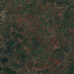
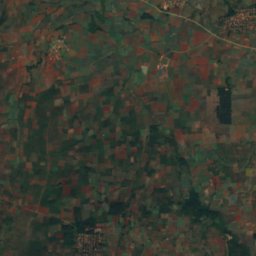
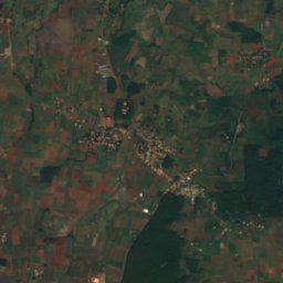
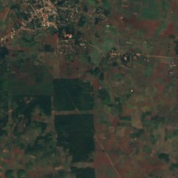
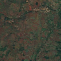
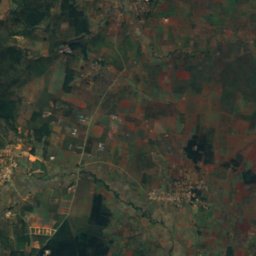
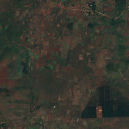
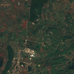
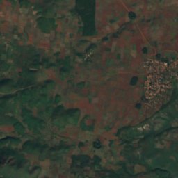
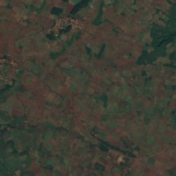
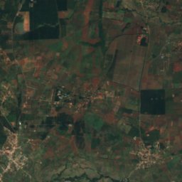
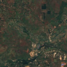
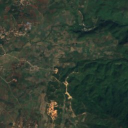
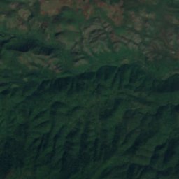
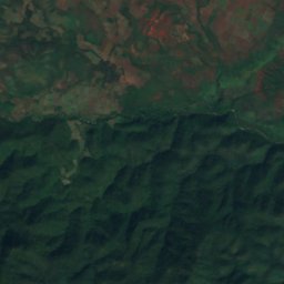
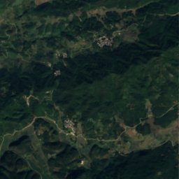
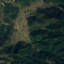
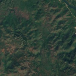
Satellite: Sentinel-2 cloudless 2016 by EOX IT Services GmbH · CC BY 4.0 · Contains modified Copernicus Sentinel data 2016
Peik Chin Myaung Cave
Pyin Oo Lwin, Mandalay Region
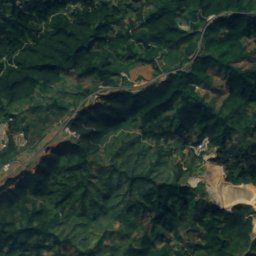
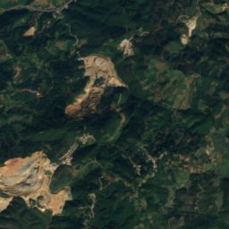
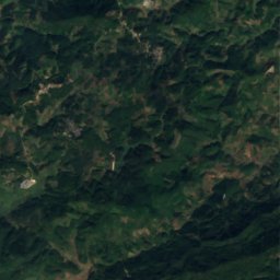
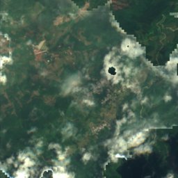
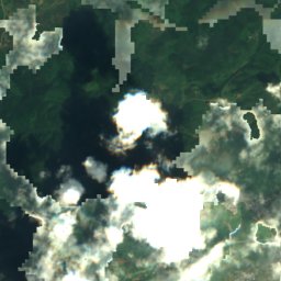
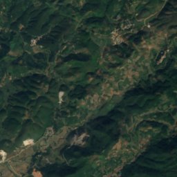
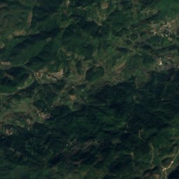
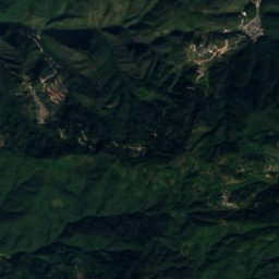
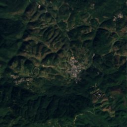
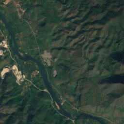
Satellite: Sentinel-2 cloudless 2016 by EOX IT Services GmbH · CC BY 4.0 · Contains modified Copernicus Sentinel data 2016
Sanxian Cave
Panglong, Shan State
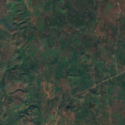
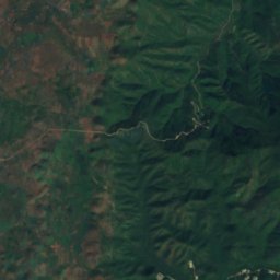
Satellite: Sentinel-2 cloudless 2016 by EOX IT Services GmbH · CC BY 4.0 · Contains modified Copernicus Sentinel data 2016
Dat Taw Taung Cave
Kyaukse, Mandalay Region
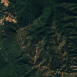
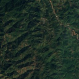
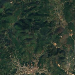
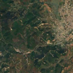
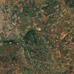
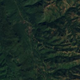
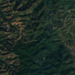
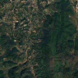
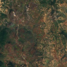
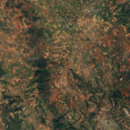
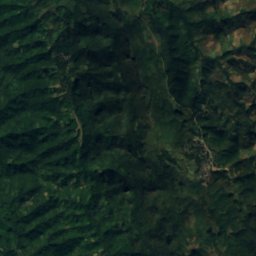
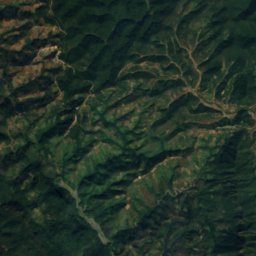
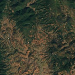
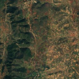
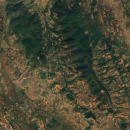
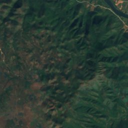
Satellite: Sentinel-2 cloudless 2016 by EOX IT Services GmbH · CC BY 4.0 · Contains modified Copernicus Sentinel data 2016
Myin Ma Hti Cave
Kalaw, Shan State
Rivers
Rivers of Myanmar


All 34 rivers
- Ataran River
- Bago River
- Chindwin River
- Dapein River
- Great Tenasserim River
- Gyaing River
- Haungtharaw River
- Kaladan River
- Kaleindaung River
- Kraburi River
- Lemro River
- Lenya River
- Mangshi River
- Manipur River
- Myitmaka River
- Myitnge River
- Myittha River
- Myu River
- Naf River
- Namwan River
- Neyinzaya River
- Pazundaung Creek
- Sai River
- Sittaung River
- Taping River
- Thandi River
- Uyu River
- Winyaw River
- Yangon River
- Yaw Chaung
- Ye River
- Yin River
- Zami River
- Zawgyi River