




Satellite: Sentinel-2 cloudless 2016 by EOX IT Services GmbH · CC BY 4.0 · Contains modified Copernicus Sentinel data 2016
IslandKolonia, Pohnpei State
Inemp
IslandBest Jan–Mar
Elevation–above sea level
Area–surface
Nearest townKolonia9.1 km
6.98° N, 158.29° EUTC+11 · Pohnpei Time
When to goKolonia · weather score
Best timeJan–Mar
October: high / low28° / 26°
Island
Inemp in brief
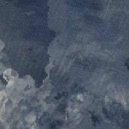
Inemp is an island in Kolonia, Pohnpei State, Micronesia.
The nearest town in the atlas is Kolonia, 9.1 km to the W, where the weather is best in January, February and March.
Weather nearby now
Forecast for Kolonia26°
Partly cloudy now
Today
23 Oct
28°
26°
2 mm
Sat
24 Oct
29°
27°
1 mm
Sun
25 Oct
29°
27°
2 mm
Mon
26 Oct
29°
26°
7 mm
Tue
27 Oct
30°
26°
4 mm
Model run 00:00 UTCRefreshed several times a day
Map
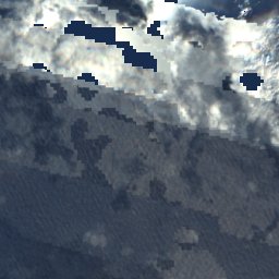
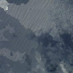
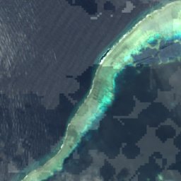
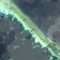
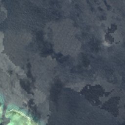
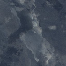
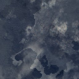
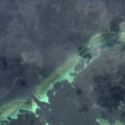
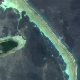
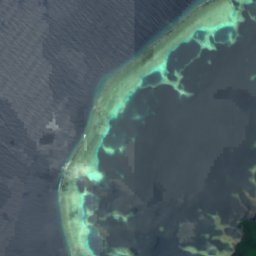
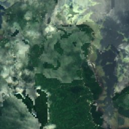
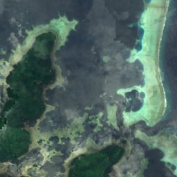
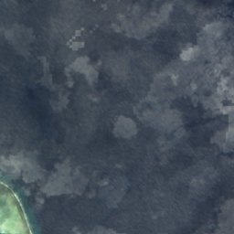
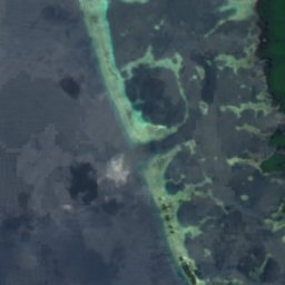
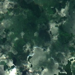
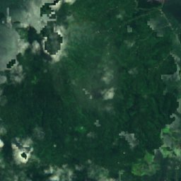
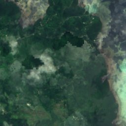
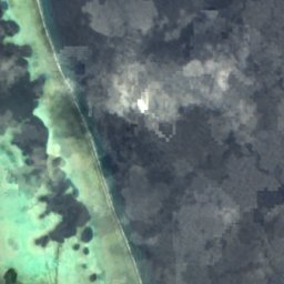
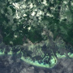
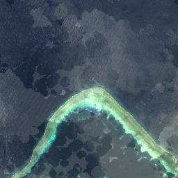
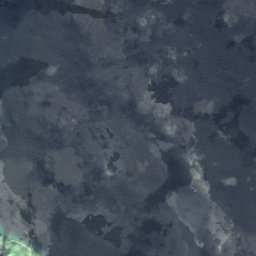
Inemp from above
Nature nearbyAll of Micronesia
Satellite: Sentinel-2 cloudless 2016 by EOX IT Services GmbH · CC BY 4.0 · Contains modified Copernicus Sentinel data 2016
Satellite: Sentinel-2 cloudless 2016 by EOX IT Services GmbH · CC BY 4.0 · Contains modified Copernicus Sentinel data 2016
Satellite: Sentinel-2 cloudless 2016 by EOX IT Services GmbH · CC BY 4.0 · Contains modified Copernicus Sentinel data 2016
Satellite: Sentinel-2 cloudless 2016 by EOX IT Services GmbH · CC BY 4.0 · Contains modified Copernicus Sentinel data 2016
Summits nearbyMountains of Micronesia

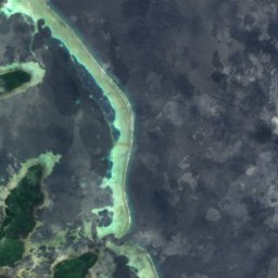
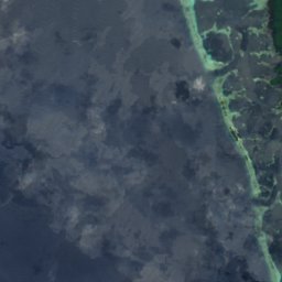
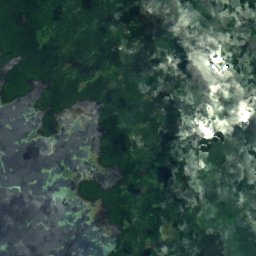
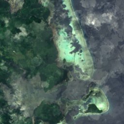
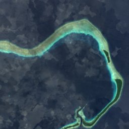

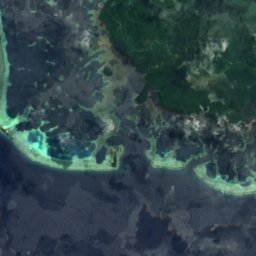
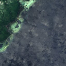
Satellite: Sentinel-2 cloudless 2016 by EOX IT Services GmbH · CC BY 4.0 · Contains modified Copernicus Sentinel data 2016
Satellite: Sentinel-2 cloudless 2016 by EOX IT Services GmbH · CC BY 4.0 · Contains modified Copernicus Sentinel data 2016
Stay nearby
Towns close by

Photo: Gargoylepni at en.wikipedia · Public domain · Wikimedia CommonsReport this photo · linked, not stored
Kolonia
Pohnpei State · 9.1 km W
28°Oct high
29wet days
44score

Satellite: Sentinel-2 cloudless 2016 by EOX IT Services GmbH · CC BY 4.0 · Contains modified Copernicus Sentinel data 2016
Kolonia Town
Pohnpei State · 9.1 km W
28°Oct high
29wet days
44score

Around here
Kolonia and around
Photo: Gargoylepni at en.wikipedia · Public domain · Wikimedia CommonsReport this photo · linked, not stored
Kolonia
Pohnpei State · Micronesia
Jan–Marbest months
28°July high
0 maltitude
Nature
Satellite: Sentinel-2 cloudless 2016 by EOX IT Services GmbH · CC BY 4.0 · Contains modified Copernicus Sentinel data 2016
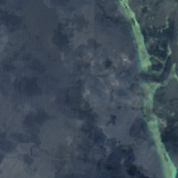
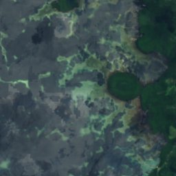
Liduduhnlap Waterfall
Waterfall
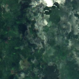
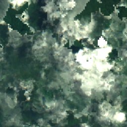
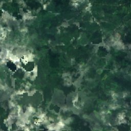
Satellite: Sentinel-2 cloudless 2016 by EOX IT Services GmbH · CC BY 4.0 · Contains modified Copernicus Sentinel data 2016
Pohnpei
Island
Satellite: Sentinel-2 cloudless 2016 by EOX IT Services GmbH · CC BY 4.0 · Contains modified Copernicus Sentinel data 2016
Deke Sokehs
Island · 275 m
Mountains
Satellite: Sentinel-2 cloudless 2016 by EOX IT Services GmbH · CC BY 4.0 · Contains modified Copernicus Sentinel data 2016
Dolohmwar
791 m · Pohnpei
Satellite: Sentinel-2 cloudless 2016 by EOX IT Services GmbH · CC BY 4.0 · Contains modified Copernicus Sentinel data 2016
Mount Nanlaud
782 m
Heritage

Satellite: Sentinel-2 cloudless 2016 by EOX IT Services GmbH · CC BY 4.0 · Contains modified Copernicus Sentinel data 2016
Japanese Shrine
National Register of Historic Places listed place · 1921
Satellite: Sentinel-2 cloudless 2016 by EOX IT Services GmbH · CC BY 4.0 · Contains modified Copernicus Sentinel data 2016
Japanese Hydro-electric Power Plant
National Register of Historic Places listed place




Satellite: Sentinel-2 cloudless 2016 by EOX IT Services GmbH · CC BY 4.0 · Contains modified Copernicus Sentinel data 2016
Japanese Elementary School for Ponapean Children
National Register of Historic Places listed place