




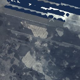


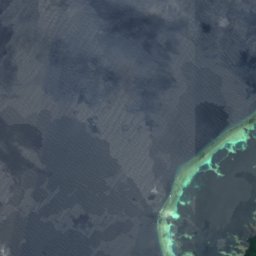
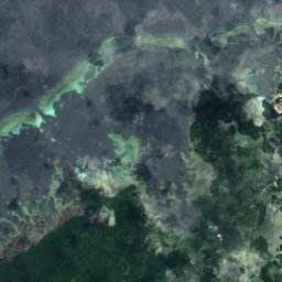
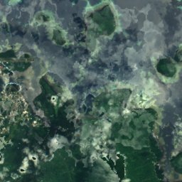
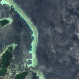


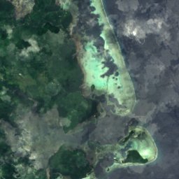



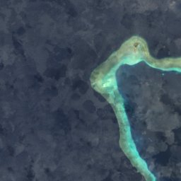
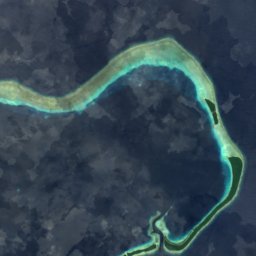

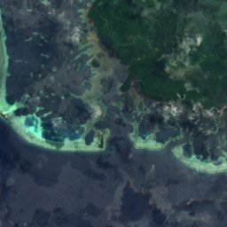
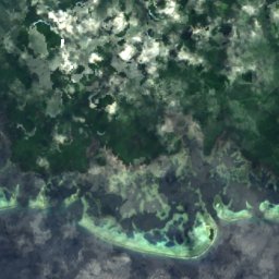








Satellite: Sentinel-2 cloudless 2016 by EOX IT Services GmbH · CC BY 4.0 · Contains modified Copernicus Sentinel data 2016
Pohnpei · Pohnpei State · MicronesiaSummit weather, forecast and climate
Dolohmwar
791 mMajor summit
Elevation791 mabove sea level
Prominence791 mindependent height
Isolation–to a higher summit
Summit, Jul25°average high
6.86° N, 158.24° EElevation 791 mUTC+11 · Pohnpei Time
From the valley to the top
- Summit791 m
- Mid-mountain440 m
- Valley · Palikir90 m
Freezing level in October: above the summit
iThe mountain
Dolohmwar in brief
Dolohmwar rises to 791 m in the Pohnpei, Pohnpei State, Micronesia. Its topographic prominence — the height it stands above the lowest contour enclosing a higher summit — is 791 m, a major independent summit.
At the summit, May is the mildest month with average highs of 25°, while nights rarely fall below freezing.
The nearest town in the atlas is Palikir, 11 km to the NW at 90 m.
Facts
- Elevation
- 791 m · 2,595 ft
- Prominence
- 791 m
- Range
- Pohnpei
- Region
- Pohnpei State
- Country
- Micronesia
- Coordinates
- 6.8553, 158.2367
- Nearest airport
- Pohnpei International Airport (PNI) · 15 km
iiForecast
Weather at three heights
Temperatures are adjusted to each height; summits are usually colder and windier than the valley forecast suggests.
Loading the latest forecast…
Loading the latest forecast…
Loading the latest forecast…
iiiSummit climate
The top of Dolohmwar by month
Summit temperatures and precipitation
Climate normals for the summit area (~1 km grid), station-adjusted| Month | Jan | Feb | Mar | Apr | May | Jun | Jul | Aug | Sep | Oct | Nov | Dec |
|---|---|---|---|---|---|---|---|---|---|---|---|---|
| Average high | 25° | 25° | 25° | 25° | 25° | 25° | 25° | 25° | 25° | 25° | 25° | 25° |
| Average low | 23° | 23° | 23° | 23° | 23° | 23° | 23° | 23° | 23° | 23° | 23° | 23° |
| Precipitation | 424 mm | 319 mm | 415 mm | 554 mm | 564 mm | 505 mm | 518 mm | 495 mm | 506 mm | 518 mm | 473 mm | 481 mm |
| Cloud cover | 56% | 53% | 55% | 59% | 63% | 69% | 67% | 62% | 62% | 65% | 64% | 57% |
| Daylight | 11h 46 | 11h 54 | 12h 04 | 12h 16 | 12h 26 | 12h 31 | 12h 29 | 12h 21 | 12h 10 | 11h 59 | 11h 49 | 11h 44 |
| Month score | 56 | 57 | 57 | 55 | 53 | 51 | 52 | 54 | 54 | 52 | 53 | 56 |
Snow and freezing level
Average height of the 0 °C level from the summit normals (6.5 °C per km); snow months have a summit mean at or below +1 °C| Month | Jan | Feb | Mar | Apr | May | Jun | Jul | Aug | Sep | Oct | Nov | Dec |
|---|---|---|---|---|---|---|---|---|---|---|---|---|
| Freezing level | 4,450 m | 4,450 m | 4,450 m | 4,500 m | 4,500 m | 4,500 m | 4,450 m | 4,450 m | 4,450 m | 4,450 m | 4,500 m | 4,500 m |
| Summit | above 0 °C | above 0 °C | above 0 °C | above 0 °C | above 0 °C | above 0 °C | above 0 °C | above 0 °C | above 0 °C | above 0 °C | above 0 °C | above 0 °C |
ivTerrain
Dolohmwar in 3D
vNeighbours
Mountains of MicronesiaPeaks nearby
| Mountain | Elevation | Prominence | Distance | July summit high |
|---|---|---|---|---|
| Mount Nanlaud | 782 m | – | 2.5 km NW | 25° |
viBase towns
Where to stay nearby


Photo: Gargoylepni at en.wikipedia · Public domain · Wikimedia CommonsReport this photo · linked, not stored
Kolonia
Pohnpei State · 13 km N
28°Oct high
29wet days
44score
Satellite: Sentinel-2 cloudless 2016 by EOX IT Services GmbH · CC BY 4.0 · Contains modified Copernicus Sentinel data 2016
Kolonia Town
Pohnpei State · 13 km N
28°Oct high
29wet days
44score
Around here
Palikir and around
Nature
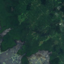
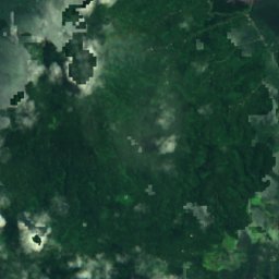
Satellite: Sentinel-2 cloudless 2016 by EOX IT Services GmbH · CC BY 4.0 · Contains modified Copernicus Sentinel data 2016
Liduduhnlap Waterfall
Waterfall
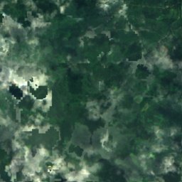
Satellite: Sentinel-2 cloudless 2016 by EOX IT Services GmbH · CC BY 4.0 · Contains modified Copernicus Sentinel data 2016
Pohnpei
Island

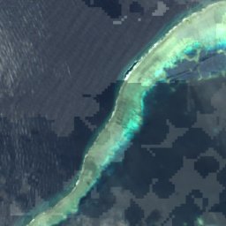
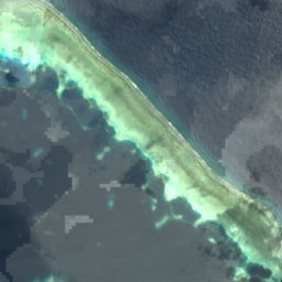
Satellite: Sentinel-2 cloudless 2016 by EOX IT Services GmbH · CC BY 4.0 · Contains modified Copernicus Sentinel data 2016
Deke Sokehs
Island · 275 m
Mountains
Satellite: Sentinel-2 cloudless 2016 by EOX IT Services GmbH · CC BY 4.0 · Contains modified Copernicus Sentinel data 2016
Mount Nanlaud
782 m
Heritage


Satellite: Sentinel-2 cloudless 2016 by EOX IT Services GmbH · CC BY 4.0 · Contains modified Copernicus Sentinel data 2016
Japanese Shrine
National Register of Historic Places listed place · 1921





Satellite: Sentinel-2 cloudless 2016 by EOX IT Services GmbH · CC BY 4.0 · Contains modified Copernicus Sentinel data 2016
Japanese Artillery Road and Pohndolap Area
National Register of Historic Places listed place
Satellite: Sentinel-2 cloudless 2016 by EOX IT Services GmbH · CC BY 4.0 · Contains modified Copernicus Sentinel data 2016
Japanese Hydro-electric Power Plant
National Register of Historic Places listed place