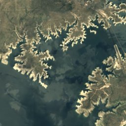
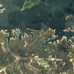
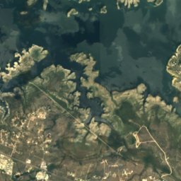
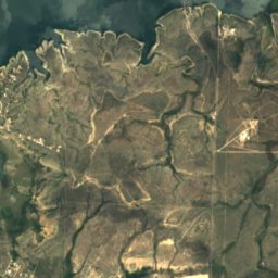
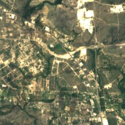
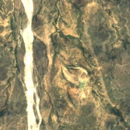
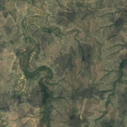
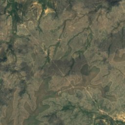
Satellite: Sentinel-2 cloudless 2016 by EOX IT Services GmbH · CC BY 4.0 · Contains modified Copernicus Sentinel data 2016
RiverCiudad Acuña, Coahuila
Devils River
RiverBest Feb · Nov–Dec
Elevation–above sea level
Area–surface
Nearest townCiudad Acuña18 km
29.46° N, 101.06° WUTC−5 · Central Daylight Time
When to goCiudad Acuña · weather score
Best timeFeb · Nov–Dec
October: high / low29° / 17°
River
Devils River in brief
Devils River is a river in Ciudad Acuña, Coahuila, Mexico — river in Texas, United States.
The nearest town is Ciudad Acuña, 18 km to the SE, where the weather is best in February, November and December.
Weather nearby now
Forecast for Ciudad Acuña27°
Partly cloudy now
Today
23 Oct
29°
19°
Sat
24 Oct
30°
18°
Sun
25 Oct
26°
19°
10 mm
Mon
26 Oct
26°
19°
Tue
27 Oct
28°
18°
3 mm
Model run 12:00 UTCRefreshed several times a day
The course of the river
As mapped in OpenStreetMap, with the towns along its banks.sourcemouth (or where the mapped line leaves the country)
Map
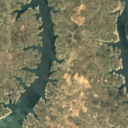
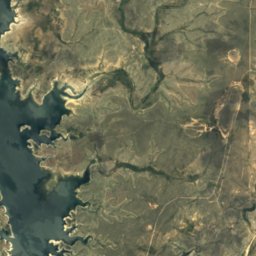
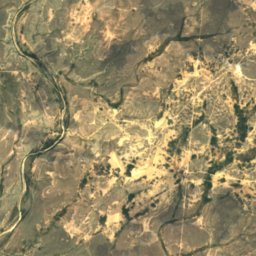
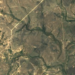
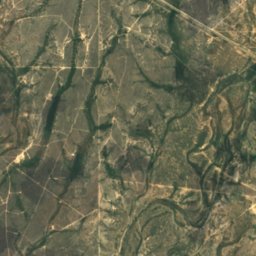
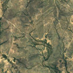
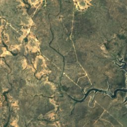
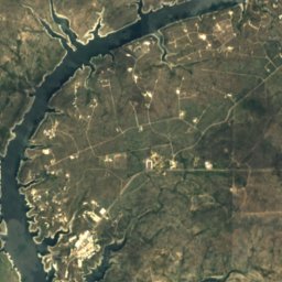
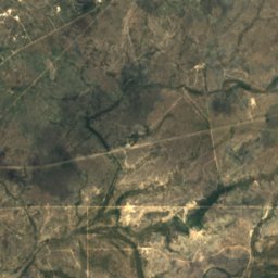
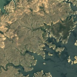
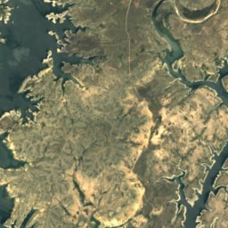
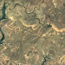
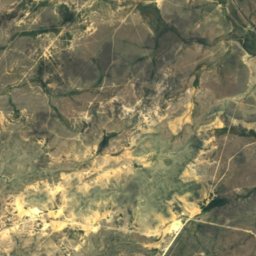
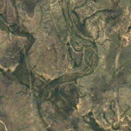
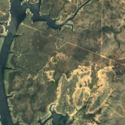
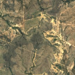
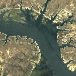
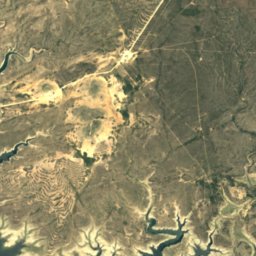
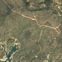
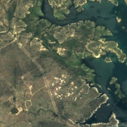
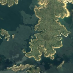
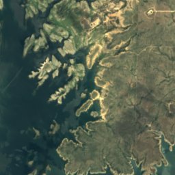
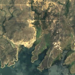
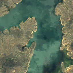
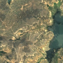
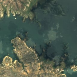
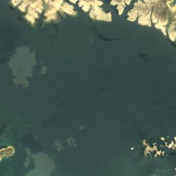
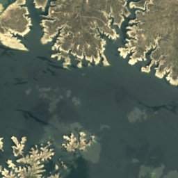
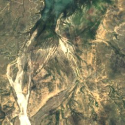
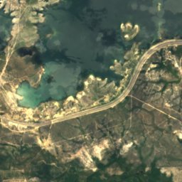
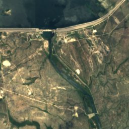
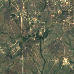
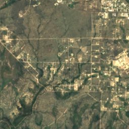
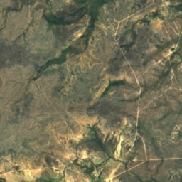
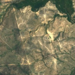
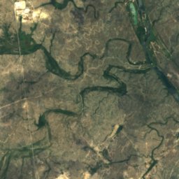
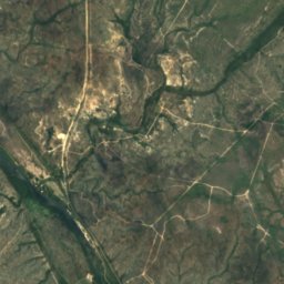
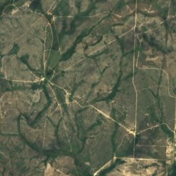
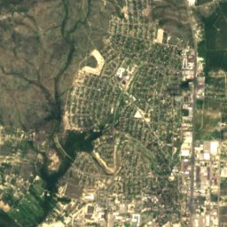
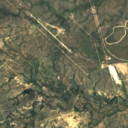
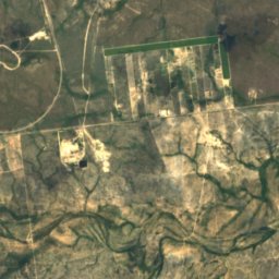
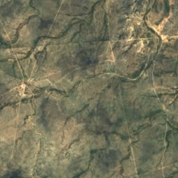
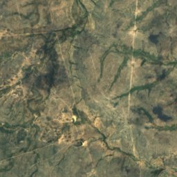
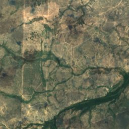
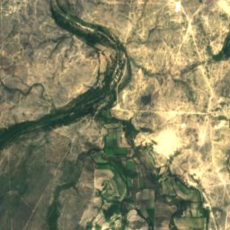
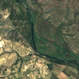
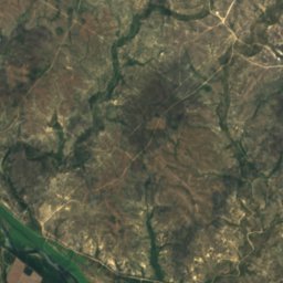
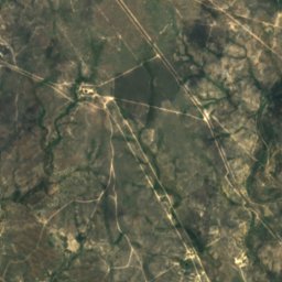
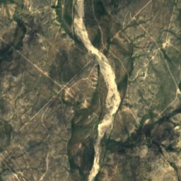
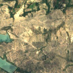
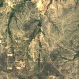
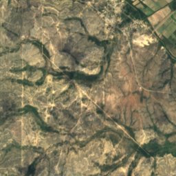
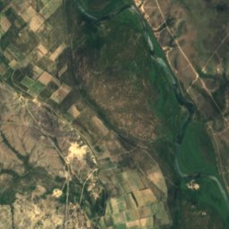
Devils River from above
Nature nearbyAll of Mexico
Satellite: Sentinel-2 cloudless 2016 by EOX IT Services GmbH · CC BY 4.0 · Contains modified Copernicus Sentinel data 2016
Satellite: Sentinel-2 cloudless 2016 by EOX IT Services GmbH · CC BY 4.0 · Contains modified Copernicus Sentinel data 2016
Satellite: Sentinel-2 cloudless 2016 by EOX IT Services GmbH · CC BY 4.0 · Contains modified Copernicus Sentinel data 2016
Satellite: Sentinel-2 cloudless 2016 by EOX IT Services GmbH · CC BY 4.0 · Contains modified Copernicus Sentinel data 2016
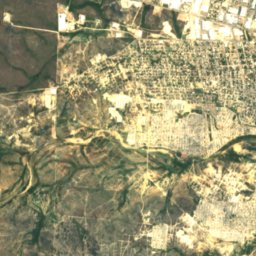
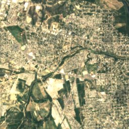
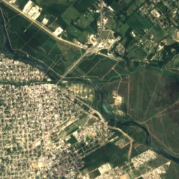
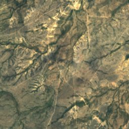
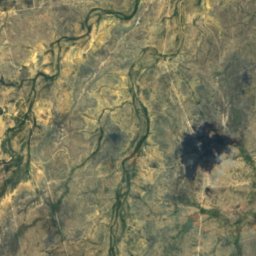
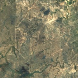
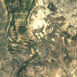
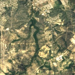
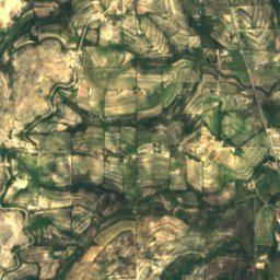
Satellite: Sentinel-2 cloudless 2016 by EOX IT Services GmbH · CC BY 4.0 · Contains modified Copernicus Sentinel data 2016
Stay nearby
Towns close by


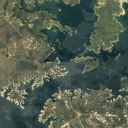
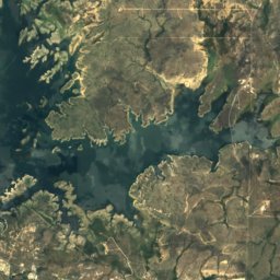
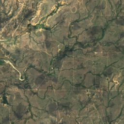
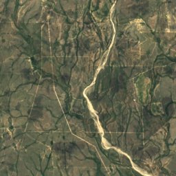
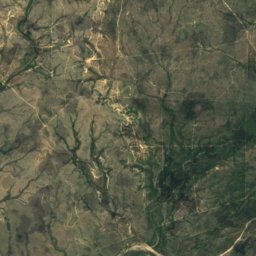
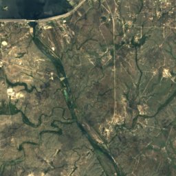
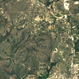
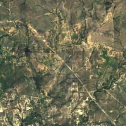
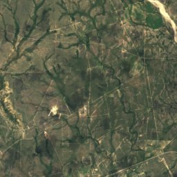
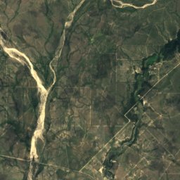
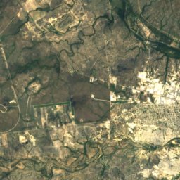
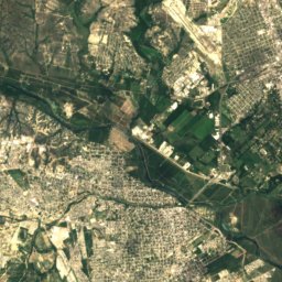
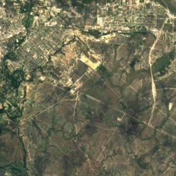
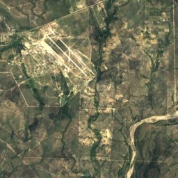
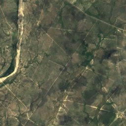
Satellite: Sentinel-2 cloudless 2016 by EOX IT Services GmbH · CC BY 4.0 · Contains modified Copernicus Sentinel data 2016
Laughlin Air Force Base
Texas · 18 mi SE
29°Oct high
6wet days
71score
Around here
Ciudad Acuña and around
Nature
Satellite: Sentinel-2 cloudless 2016 by EOX IT Services GmbH · CC BY 4.0 · Contains modified Copernicus Sentinel data 2016
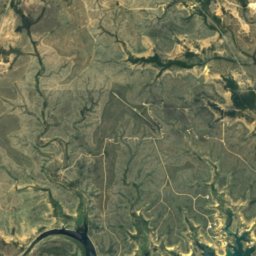
Los Novillos National Park
National park
Satellite: Sentinel-2 cloudless 2016 by EOX IT Services GmbH · CC BY 4.0 · Contains modified Copernicus Sentinel data 2016
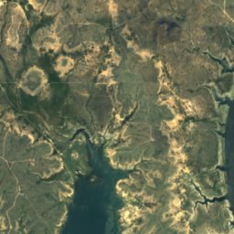
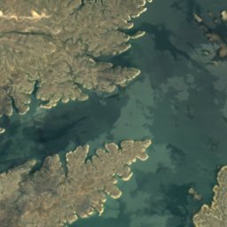
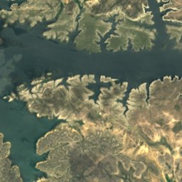
Amistad Reservoir
Lake · 1,086 ft
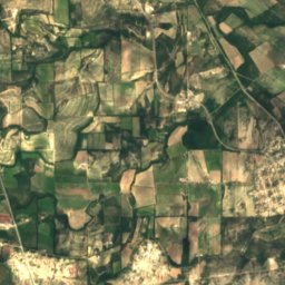
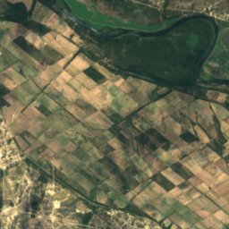
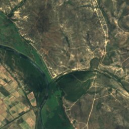
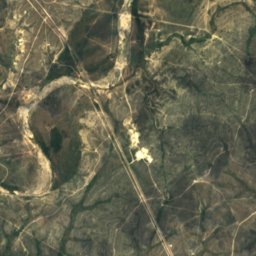
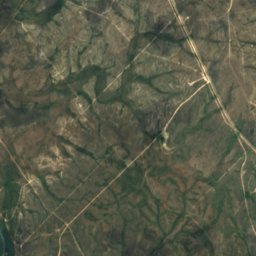
Satellite: Sentinel-2 cloudless 2016 by EOX IT Services GmbH · CC BY 4.0 · Contains modified Copernicus Sentinel data 2016
Sycamore Creek, Texas
River
Museums






Satellite: Sentinel-2 cloudless 2016 by EOX IT Services GmbH · CC BY 4.0 · Contains modified Copernicus Sentinel data 2016
Museo del Antiguo Cuartel Militar de Acuña
2023


Satellite: Sentinel-2 cloudless 2016 by EOX IT Services GmbH · CC BY 4.0 · Contains modified Copernicus Sentinel data 2016
Museo José Ángel Villarreal
1993

Photo: Billy Hathorn at English Wikipedia · CC BY-SA 3.0 · Wikimedia CommonsReport this photo · linked, not stored

Whitehead Memorial Museum
1962