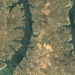
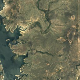
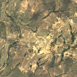
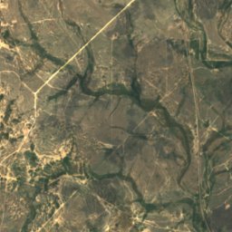
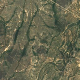
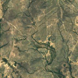
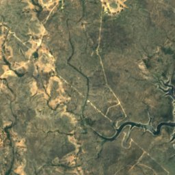
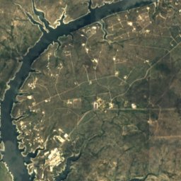
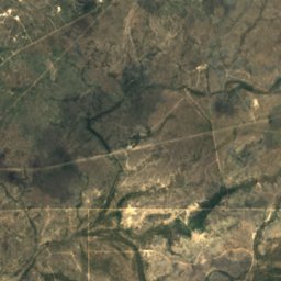
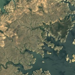
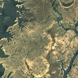
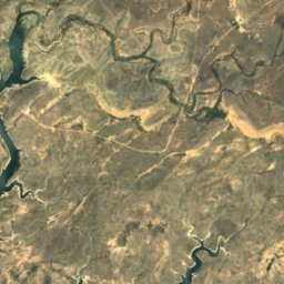
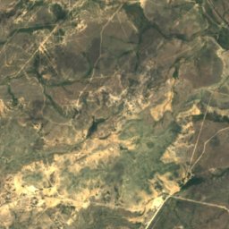
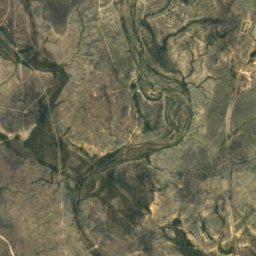
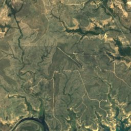
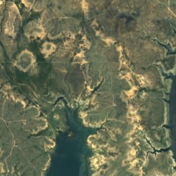
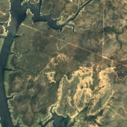
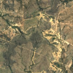
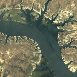
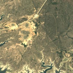
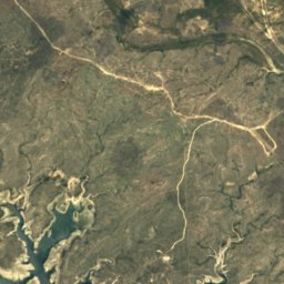
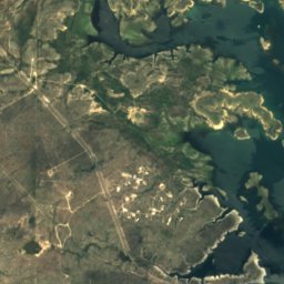
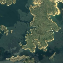
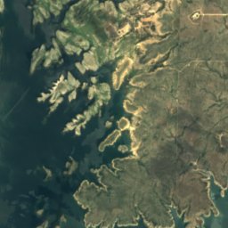
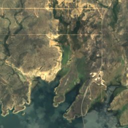
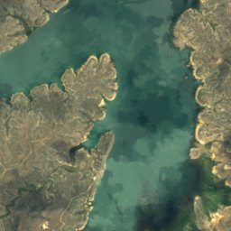
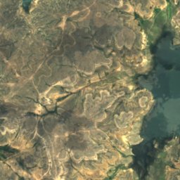
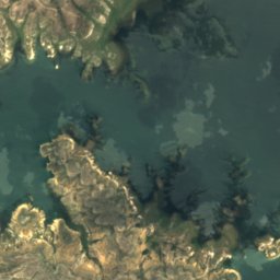
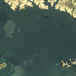
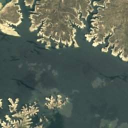
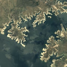
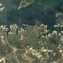
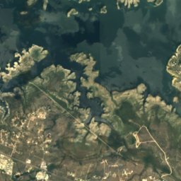
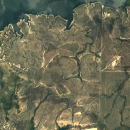
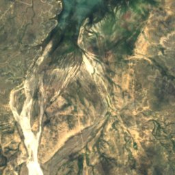
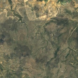
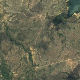
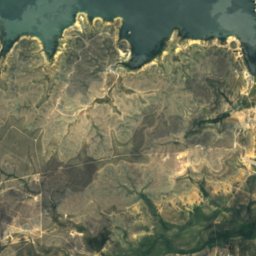
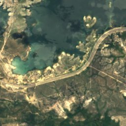
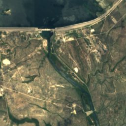
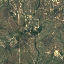
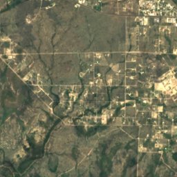
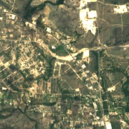
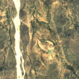
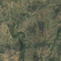
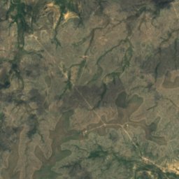
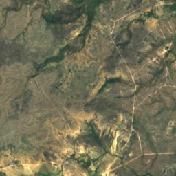
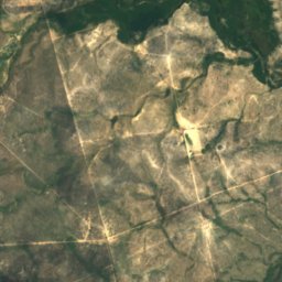
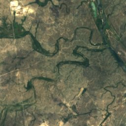
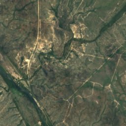
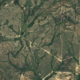
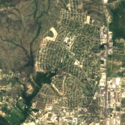
위성: Sentinel-2 cloudless 2016(EOX IT Services GmbH) · CC BY 4.0 · 수정된 Copernicus Sentinel 데이터(2016) 포함
강Ciudad Acuña, Coahuila
Devils River
강최적 2월 · 11월–12월
고도–해발
면적–총면적
가장 가까운 지점Ciudad Acuña18 km
북위 29.46°, 서경 101.06°UTC−5 · 미 중부 하계 표준시
여행 시기Ciudad Acuña · 날씨 점수
최적 시기2월 · 11월–12월
10월: 최고 / 최저29° / 17°
강
Devils River 개요
Devils River는 멕시코(Coahuila)에 있는 강입니다.
가장 가까운 지점은 남동쪽으로 18 km 떨어진 Ciudad Acuña입니다. 그곳의 날씨가 가장 쾌적한 달은 2월, 11월, 12월입니다.
주변의 현재 날씨
Ciudad Acuña의 일기 예보25°
현재 날씨: 흐림
오늘
10월 25일
28°
19°
월
10월 26일
27°
19°
화
10월 27일
30°
18°
3 mm
수
10월 28일
30°
19°
1 mm
목
10월 29일
24°
20°
8 mm
모델 계산 시각 12:00 UTC하루 여러 번 갱신
강의 물길
OpenStreetMap 지도 데이터를 기준으로 하며, 강변의 도시도 함께 표시합니다.발원지하구 (또는 지도상의 물길이 국외로 나가는 지점)
지도
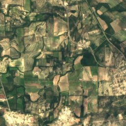
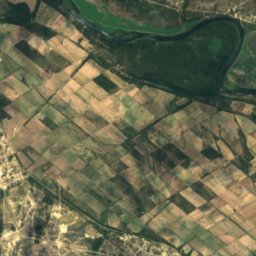
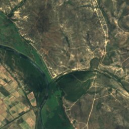
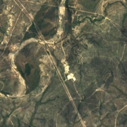
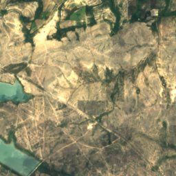
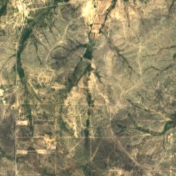
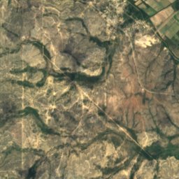
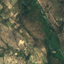
Devils River 하늘에서
주변 자연전국
위성: Sentinel-2 cloudless 2016(EOX IT Services GmbH) · CC BY 4.0 · 수정된 Copernicus Sentinel 데이터(2016) 포함
위성: Sentinel-2 cloudless 2016(EOX IT Services GmbH) · CC BY 4.0 · 수정된 Copernicus Sentinel 데이터(2016) 포함
위성: Sentinel-2 cloudless 2016(EOX IT Services GmbH) · CC BY 4.0 · 수정된 Copernicus Sentinel 데이터(2016) 포함
위성: Sentinel-2 cloudless 2016(EOX IT Services GmbH) · CC BY 4.0 · 수정된 Copernicus Sentinel 데이터(2016) 포함
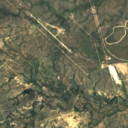
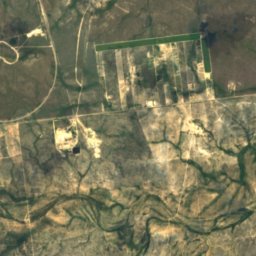
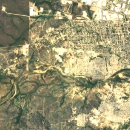
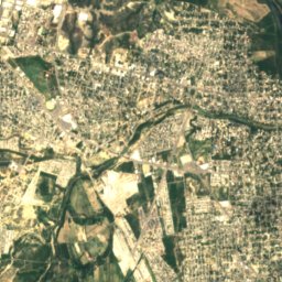
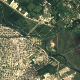
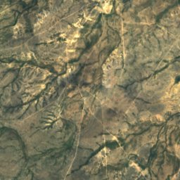
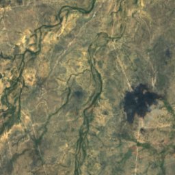
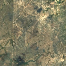
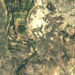
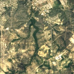
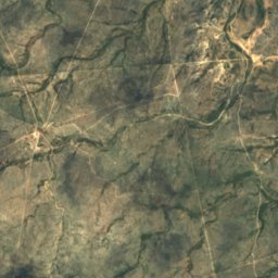
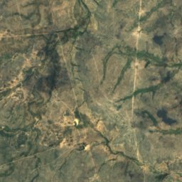
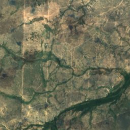
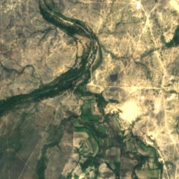
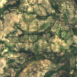
위성: Sentinel-2 cloudless 2016(EOX IT Services GmbH) · CC BY 4.0 · 수정된 Copernicus Sentinel 데이터(2016) 포함
근처 숙소
바로 근처의 지점


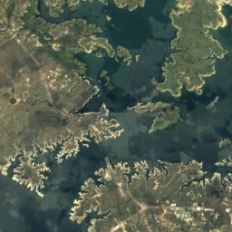
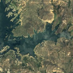
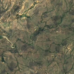
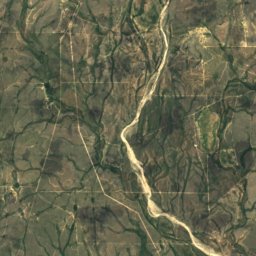
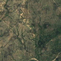
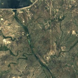
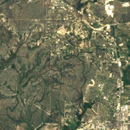
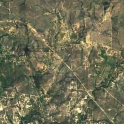
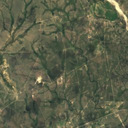
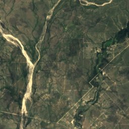
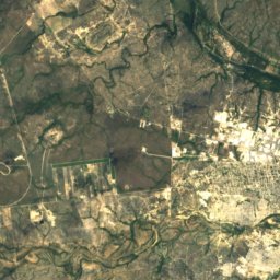
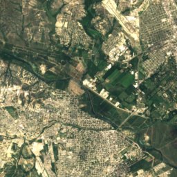
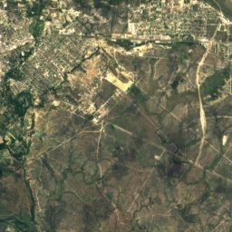
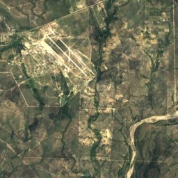
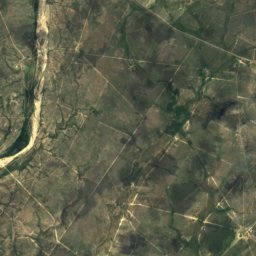
위성: Sentinel-2 cloudless 2016(EOX IT Services GmbH) · CC BY 4.0 · 수정된 Copernicus Sentinel 데이터(2016) 포함
Laughlin Air Force Base
텍사스주 · 29 km 남동
29°10월 최고
6비 오는 날
71점수
주변
Ciudad Acuña 일대
자연
위성: Sentinel-2 cloudless 2016(EOX IT Services GmbH) · CC BY 4.0 · 수정된 Copernicus Sentinel 데이터(2016) 포함
Los Novillos National Park
국립공원
위성: Sentinel-2 cloudless 2016(EOX IT Services GmbH) · CC BY 4.0 · 수정된 Copernicus Sentinel 데이터(2016) 포함
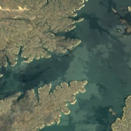
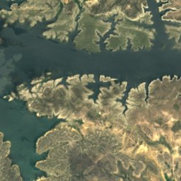
Amistad Reservoir
호수 · 331 m
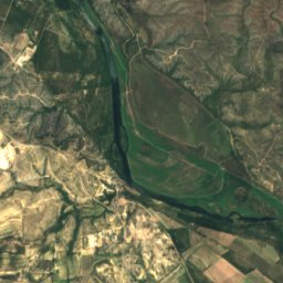
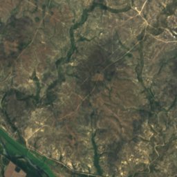
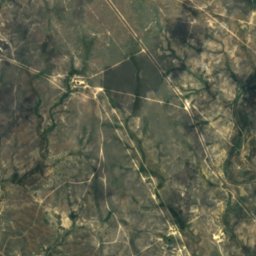
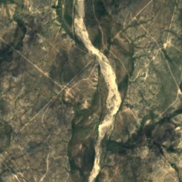
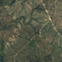
위성: Sentinel-2 cloudless 2016(EOX IT Services GmbH) · CC BY 4.0 · 수정된 Copernicus Sentinel 데이터(2016) 포함
Sycamore Creek, Texas
강
박물관·미술관

위성: Sentinel-2 cloudless 2016(EOX IT Services GmbH) · CC BY 4.0 · 수정된 Copernicus Sentinel 데이터(2016) 포함
Museo del Antiguo Cuartel Militar de Acuña
2023
위성: Sentinel-2 cloudless 2016(EOX IT Services GmbH) · CC BY 4.0 · 수정된 Copernicus Sentinel 데이터(2016) 포함
Museo José Ángel Villarreal
1993


